The best road cycling routes around Strongsville
4.8
(15)
529
riders
24
rides
Road cycling routes around Strongsville feature a landscape characterized by river valleys, parklands, and gentle hills. The region offers a mix of suburban and natural settings, with routes often following scenic parkways and connecting various green spaces. Elevations are generally moderate, with most climbs remaining under 200 meters. This terrain provides accessible road cycling experiences for various skill levels.
Best road cycling routes around Strongsville
- The most popular road cycling route is Berea Falls Scenic Overlook – Rocky River Nature Center loop from Big Creek Reservation, a 33.6 miles (54.0 km) trail that takes 2 hours 10 minutes to complete. This moderate route features varied terrain through parkland and along river valleys.
- Another top favourite among local road cyclists is Berea Falls Scenic Overlook – Waterfall on Valley Parkway loop from Olmsted Falls, an easy 26.8 miles (43.2 km) path. This route offers scenic views along the Valley Parkway.
- Local road cyclists also love the Waterfall on Valley Parkway – Berea Falls Scenic Overlook loop from North Royalton, a 22.3 miles (35.9 km) trail leading through parkland and overlooks, often completed in about 1 hour 25 minutes.
- Road cycling around Strongsville is defined by river valleys, parklands, and gentle hills. The network offers options for different ability levels, from easy rides to more moderate challenges.
- The routes in Strongsville are highly rated by the komoot community with an average score of 4.8 stars from over 10 reviews. More than 370 road cyclists have used komoot to explore Strongsville's varied terrain.
Last updated: July 2, 2026
4.5
(2)
46
riders
Easy road ride. Great for any fitness level. Mostly well-paved surfaces and easy to ride.
5.0
(1)
22
riders
Easy road ride. Great for any fitness level. Mostly well-paved surfaces and easy to ride.

Sign up for free
4.7
(3)
20
riders
20.1km
00:47
40m
40m
Easy road ride. Great for any fitness level. Mostly well-paved surfaces and easy to ride.
4.5
(2)
26
riders
28.2km
01:08
90m
90m
Easy road ride. Great for any fitness level. Mostly well-paved surfaces and easy to ride.
22
riders
Moderate road ride. Good fitness required. Some segments of this route may be unpaved and difficult to ride.
Get access to more routes and recommendations from other explorers.
Sign up for free
Already have an account?
Our route recommendations are based on thousands of hikes, rides, and runs completed by other people on komoot.
Start today with a free account
Your next adventure awaits.
Login or Signup
Popular around Strongsville
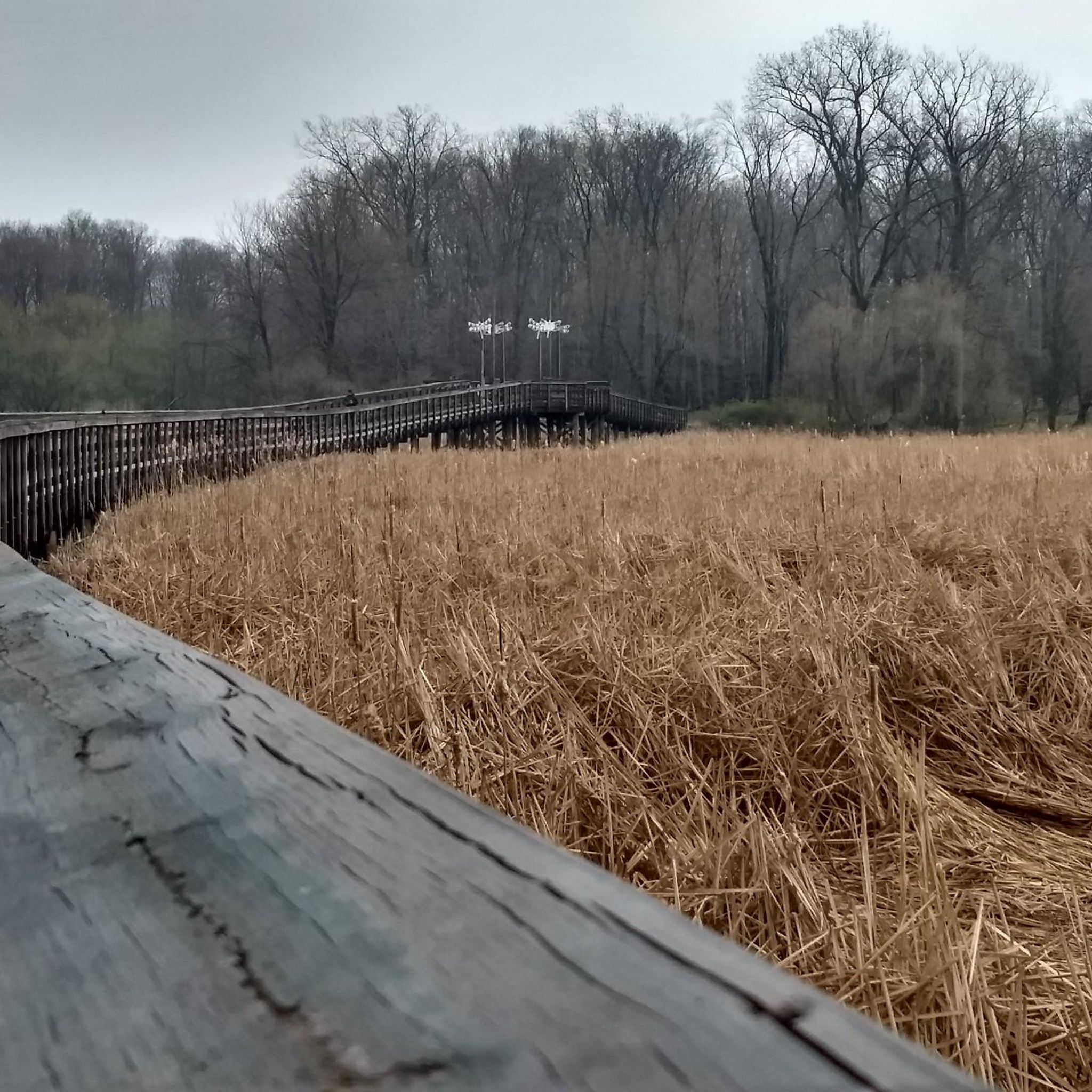
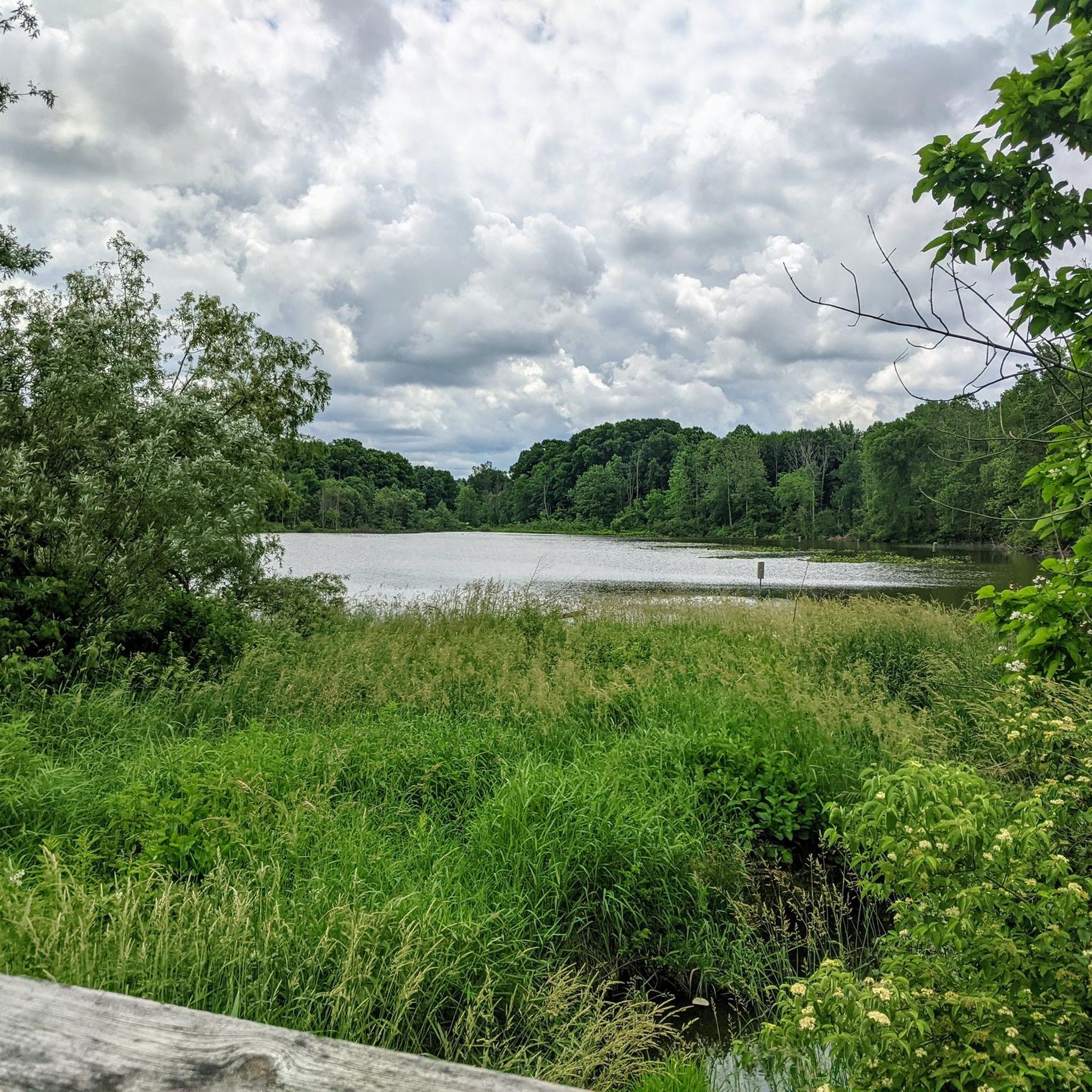
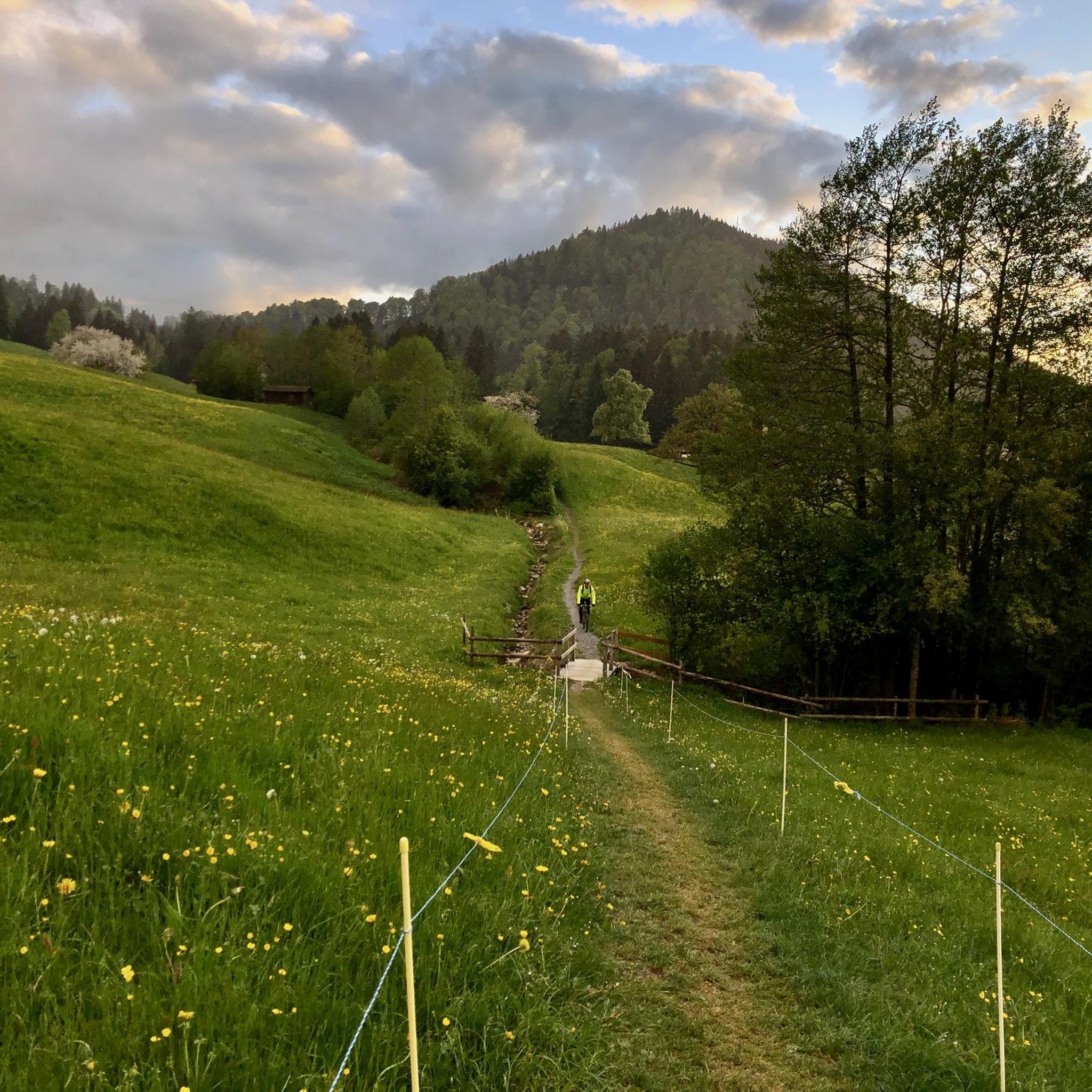
Tips from the Community

Enjoy the scenic rail bridge spanning the East Branch of the Rock River. The Rocky River, recognized by Field & Stream as a premier steelhead trout river, is the highlight of the Rocky River Reservation. This picturesque spot offers a peaceful setting and a prime location for fishing enthusiasts.
0
0

Although the path has a couple of busy roads to cross. This section of the metroparks between strongsville and Rocky River are some of the best multi-use trails you can find. It stays close to the river, so the path is winding. Lots of picnic grounds and restrooms. All paved
0
0
For almost 9 miles, the Mill Stream Run Reservation All Purpose Trail meanders through a wooded park in Berea, a western Cleveland suburb. Despite running near Valley Parkway, the trail feels secluded from the urban environment. Attractions along the route include a wildlife area, several picnic spots, an archery range, and multiple connecting nature trails, including one for equestrians. The trail, with its smooth asphalt surface, is well maintained. While you might encounter walkers, runners, or roller bladers, it's rarely crowded. At its northern end, it connects to the Rocky River Reservation All-Purpose Trail.
0
0

The Rocky River Nature Center is a fantastic place to learn more about the local wildlife and the history of the Native American tribes that once inhabited that area. Restrooms and drinking water are also available in the center.
0
0

At 1,287 feet in elevation this is the hight point of Cuyahoga County. There is now a large sign marking the spot along Broadview Road.
0
0
The Brecksville-Northfield Bridge replaced the Station Road Bridge in 1931. The bridge sits 145 feet above the Cuyahoga River as part of Chippewa Road.
0
1

For a family-friendly summer beach, explore Wallace Lake and its park in Berea. Occupying a former quarry, the lake features a small sandy area near a parking lot and park space—perfect for picnics and spontaneous BBQ gatherings.
0
0

The Valley Parkway Trail is a great bike ride. It runs along the Rocky River Reservation. The paved trail has beautiful scenery and if wildlife spotting is your thing then this is a good trail for it. There are also a few options to ride off on spur trails that lead to business or residential areas and places to picnic.
0
0
Frequently Asked Questions
How many road cycling routes are available around Strongsville?
There are over 25 road cycling routes around Strongsville, offering a variety of experiences for different skill levels. You'll find a good mix of easy, moderate, and a few more challenging options.
Are there easy road cycling routes suitable for beginners or families in Strongsville?
Yes, Strongsville offers many easy road cycling routes perfect for beginners or families. About 15 of the available routes are classified as easy, featuring gentle terrain and manageable distances. A great option is the Berea Falls Scenic Overlook – Waterfall on Valley Parkway loop from Olmsted Falls, which is 26.8 miles long and offers scenic views.
What kind of terrain can I expect on road cycling routes in Strongsville?
The road cycling routes around Strongsville are characterized by river valleys, parklands, and gentle hills. The elevations are generally moderate, with most climbs staying under 200 meters, providing accessible cycling experiences without overly strenuous ascents.
Are there any loop trails for road cycling in Strongsville?
Yes, many of the road cycling routes in Strongsville are designed as loops, allowing you to start and end at the same point. For example, the popular Berea Falls Scenic Overlook – Rocky River Nature Center loop from Big Creek Reservation is a 33.6-mile loop that takes about 2 hours 10 minutes.
What are some scenic viewpoints or attractions along the road cycling routes?
Many routes offer scenic views, especially along the Valley Parkway. You can visit the Berea Falls Scenic Overlook, which is featured on several routes. Other points of interest include the Rocky River Nature Center, Lake Isaac, and Coe Lake and Fountain.
Are there any advanced or challenging road cycling routes in Strongsville?
While most routes are easy to moderate, there are a couple of more challenging options for experienced road cyclists. These routes might feature longer distances or slightly more significant elevation changes compared to the easier trails. You can find 2 routes classified as difficult in the area.
What do other road cyclists say about the routes in Strongsville?
The road cycling routes in Strongsville are highly regarded by the komoot community, with an average rating of 4.8 out of 5 stars from over 10 reviews. Cyclists often praise the varied terrain, the beautiful parklands, and the well-maintained paths that make for an enjoyable ride.
What is a good moderate-difficulty road cycling route in Strongsville?
For a moderate challenge, consider the Berea Falls Scenic Overlook – Rocky River Nature Center loop from Big Creek Reservation. This 33.6-mile route features varied terrain through parkland and along river valleys, taking approximately 2 hours and 10 minutes to complete.
Are there shorter road cycling routes available for a quick ride?
Yes, if you're looking for a shorter ride, the Royalview Climb loop from Berea is a good option. It's an easy 11.5-mile (18.5 km) route that can be completed in about 1 hour and 10 minutes.
Can I find routes that pass through multiple towns or areas near Strongsville?
Many routes connect different areas and parks around Strongsville. For instance, the Waterfall on Valley Parkway – Berea Falls Scenic Overlook loop from North Royalton takes you through parkland and overlooks, starting from North Royalton and exploring areas towards Berea.
What are the typical lengths and durations of road cycling routes in Strongsville?
Route lengths vary, with options ranging from shorter rides of around 11 miles (18 km) to longer excursions over 30 miles (50 km). Durations typically range from just over an hour to more than two hours, depending on the route and your pace.
Are there road cycling routes that start from Berea?
Yes, Berea is a common starting point for several road cycling routes. You can find options like the Berea Falls Scenic Overlook – Rocky River Nature Center loop from Berea, which is an easy 13.3-mile (21.4 km) ride.
Most popular attractions around Strongsville

Get inspired with the komoot mobile app


Explore more
Browse the best Road cycling routes in other regions.
