The best road cycling routes around Elsterwerda
4.2
(143)
1,634
riders
37
rides
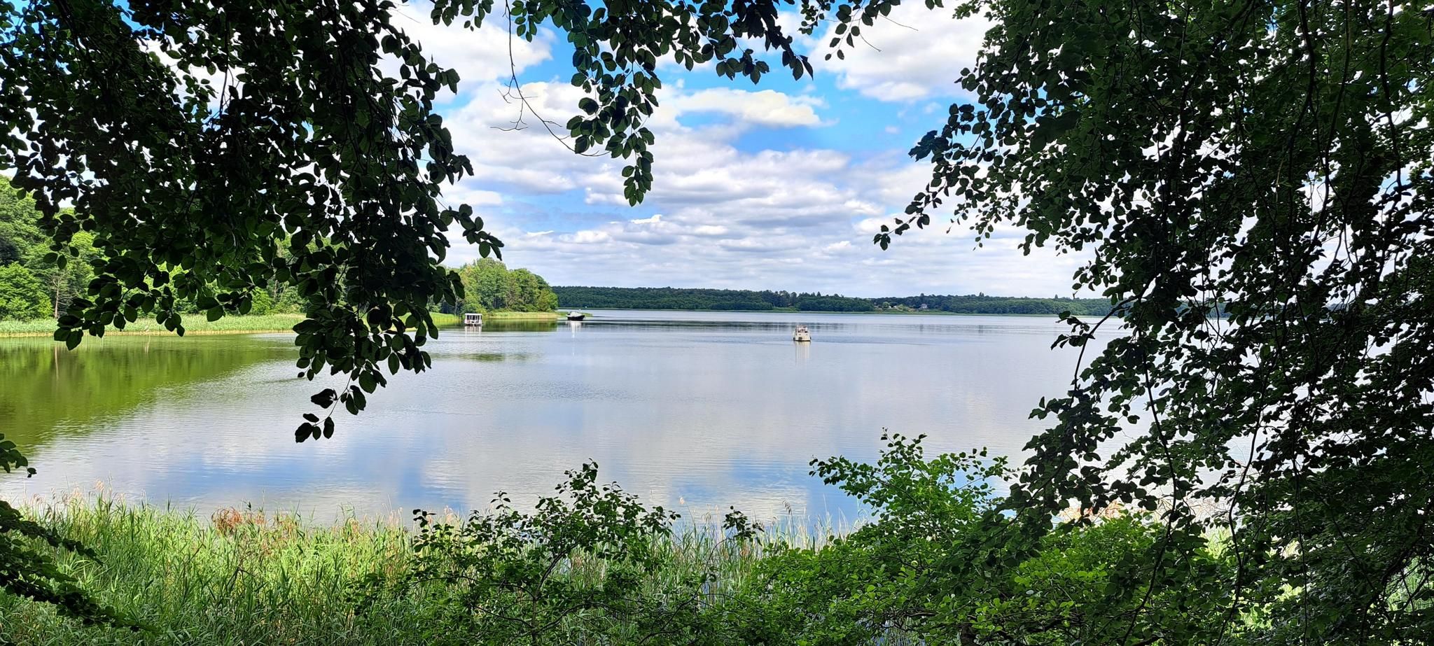
Road cycling routes around Elsterwerda traverse a landscape characterized by the Schwarze Elster River valley, offering scenic backdrops of meadows and riverbanks. The region includes the Niederlausitzer Heidelandschaft Nature Park, featuring expansive meadows and forests. Cyclists will find varied terrain, from the flat river paths to gently rolling sections within the Schraden lowland area. The area provides a network of routes suitable for different skill levels, often incorporating natural features and cultural landmarks.
Best road cycling routes around Elsterwerda
- The…
Last updated: June 27, 2026
4.0
(2)
21
riders
Moderate road ride. Great for any fitness level. Some segments of this route may be unpaved and difficult to ride.
5.0
(2)
11
riders
76.0km
02:58
210m
210m
Moderate road ride. Good fitness required. Mostly well-paved surfaces and easy to ride.

Sign up for free
4.5
(4)
17
riders
74.5km
02:54
140m
140m
Moderate road ride. Good fitness required. Mostly well-paved surfaces and easy to ride.
4.0
(3)
14
riders
66.2km
02:44
180m
180m
Moderate road ride. Good fitness required. Some segments of this route may be unpaved and difficult to ride.
4.0
(2)
12
riders
22.6km
00:56
80m
80m
Easy road ride. Great for any fitness level. Mostly well-paved surfaces and easy to ride.
Get access to more routes and recommendations from other explorers.
Sign up for free
Already have an account?
Our route recommendations are based on thousands of hikes, rides, and runs completed by other people on komoot.
Start today with a free account
Your next adventure awaits.
Login or Signup


Tips from the Community

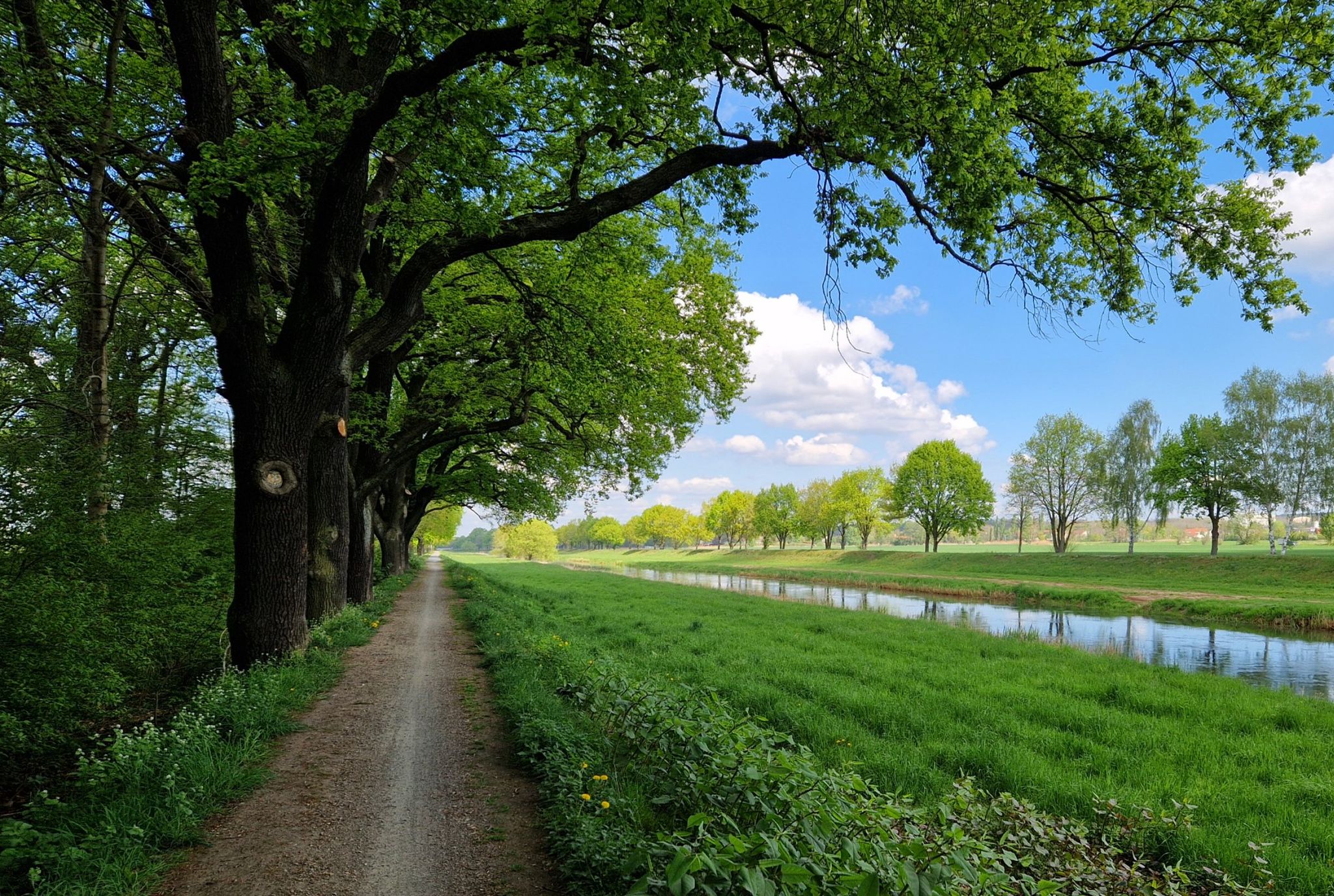
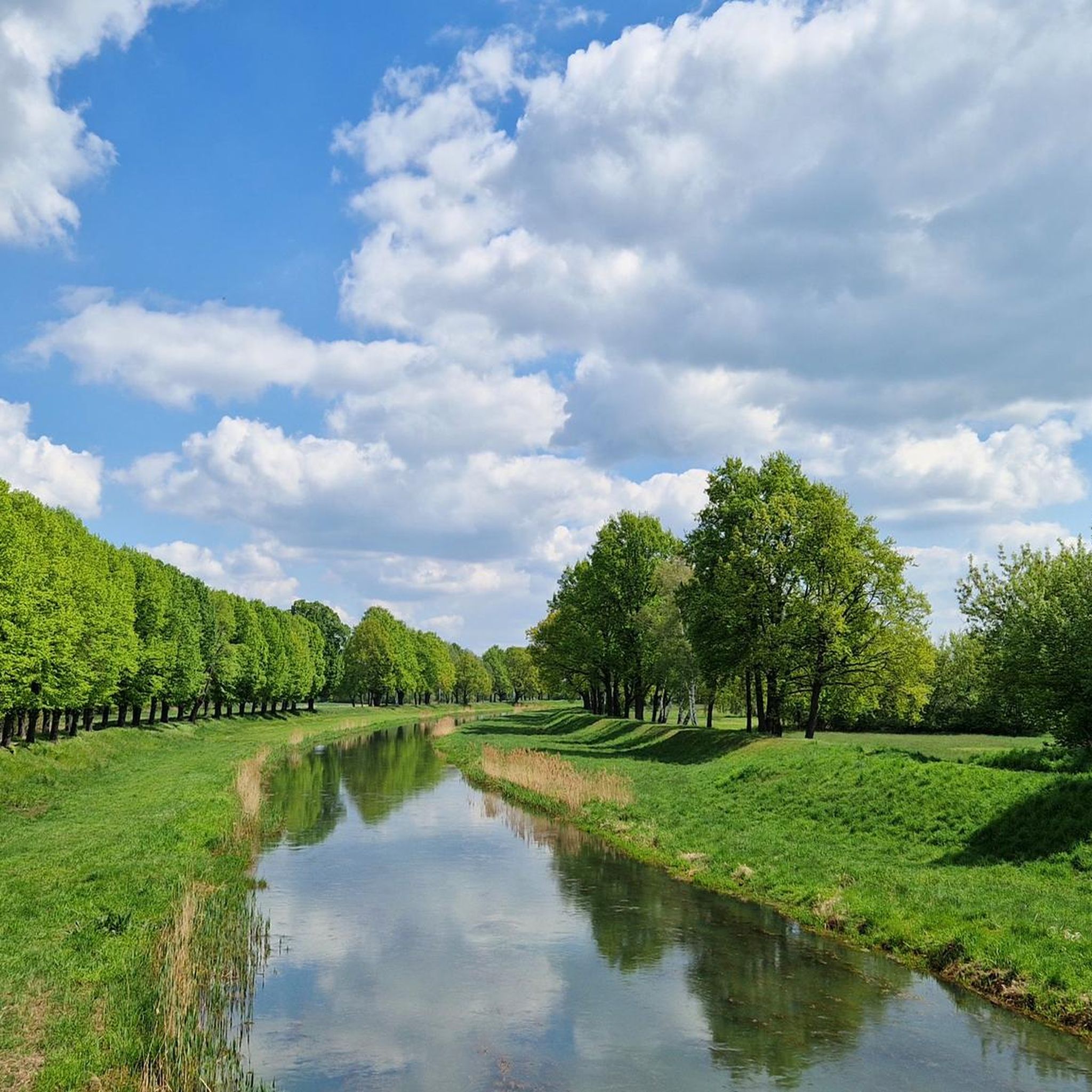
The Black Elster Cycle Path is a 190-kilometer-long long-distance cycle route in southern Brandenburg and northern Saxony, with short sections also extending into eastern Saxony-Anhalt. The cycle path runs from the source of the Black Elster River at 317 meters above sea level to its confluence with the Elbe River at 69 meters above sea level, through the foothills of the Lusatian Mountains near Kamenz and later largely directly along the Black Elster's dike. It is marked with a magpie symbol.
0
0

The church, a Baroque hall church, originated from a medieval brick building and is probably the oldest structure in the city. It was repeatedly destroyed and rebuilt due to fires. The current structure is likely the reconstruction from around 1718. The interior is dominated by the Leipzig green paint applied in 1831. https://de.wikipedia.org/wiki/St.-Katharina-Kirche_(Elsterwerda)
0
0
Initially, a rectangular concrete fountain was erected in the park in 1967. Inside, there were five fountain-like water features. During the term of Mayor Wolf-Dieter Schwarz (1975–1991), bronze figures were later integrated. These were designed by the Hohenleipisch sculptor Hans Eickworth, who died in 1995, and modeled after the Elsterwerda town coat of arms used until 1994. The fountain's main figure is a bronze magpie. Two other bronze figures depict lilies. The lilies originally came from the coat of arms of the noble family von Köckeritz, who were the lords of Elsterwerda from 1367 to 1512. They were later also incorporated into the Elsterwerda town coat of arms. https://de.wikipedia.org/wiki/Markt_(Elsterwerda)
0
0
The Saxon post milestone stands near the Protestant town church of St. Catherine on the main street. This distance marker, dating from 1738, is considered an important piece of cultural heritage and a landmark that shapes the townscape. In August 2025, the approximately 4.60-meter-high column was dismantled for professional restoration. https://www.elsterwerda.de/kursaechsische-postmeilensaeule-erstrahlt-im-neuen-glanz/
0
0

The road is quiet, at least on weekends. It's a different story during the week, when there's much more traffic. It's definitely faster from Schacksdorf to Lichterfeld.
0
0

Good train connections to Dresden and Berlin with IC, RE and RB
0
1

A bit narrow in places, but otherwise the cycle path is nice.
0
0

A hall church from 1814, built on the site of a burnt-down predecessor building. The west tower has an octagonal top with a spire and lantern.
0
0
Frequently Asked Questions
What kind of terrain can I expect on road cycling routes near Elsterwerda?
The road cycling routes around Elsterwerda primarily traverse the scenic Schwarze Elster River valley, offering picturesque backdrops of lush meadows and riverbanks. You'll find varied terrain, from flat sections ideal for leisurely rides, especially along the Schwarze Elster Cycle Path, to gently rolling sections within the Schraden lowland area and the Niederlausitzer Heidelandschaft Nature Park. Many routes feature well-maintained asphalt, ensuring a smooth ride.
When is the best time of year for road cycling in Elsterwerda?
Elsterwerda offers pleasant conditions for road cycling during spring and autumn. These seasons provide comfortable temperatures and beautiful scenery, with blooming heathlands in late summer and vibrant foliage in autumn. While summer is also an option, spring and autumn generally offer a more enjoyable experience.
Are there options for less experienced road cyclists in the Elsterwerda area?
Yes, Elsterwerda offers several routes suitable for beginners. There are at least 7 easy road cycling routes available. An excellent option is the Friedersdorf Observation Tower – Asphalt road parallel to B101 loop from Elsterwerda-Biehla, which is 47.6 km long and features varied terrain with only gentle ascents.
What are some scenic highlights or landmarks I can see along the road cycling routes?
Many routes incorporate natural and cultural landmarks. You can cycle past the tranquil Grünewalder Lauch Lake, explore sections of the Schwarze Elster Cycle Path, or visit the elegant Zabeltitz Baroque Garden. Other points of interest include the Elster Mill in Plessa and various viewpoints like the Heideberg Tower on Heidehöhe.
Are there any longer road cycling routes for more experienced riders?
Absolutely. For those seeking longer distances, routes like the Plessa–Schraden Country Road – Finsterwalde Castle loop from Elsterwerda cover approximately 77.0 km and lead through the distinct Schraden lowland area. Another substantial option is the Lubwart Tower – Bad Liebenwerda Town Hall loop from Elsterwerda, which is about 76.5 km long.
What do other road cyclists enjoy most about cycling in Elsterwerda?
The road cycling routes in Elsterwerda are highly rated by the komoot community, with an average score of 4.5 stars from over 30 reviews. Cyclists often praise the varied terrain, which ranges from flat river paths to gently rolling sections, and the well-maintained network that allows for exploration of both natural features and cultural landmarks.
Are there any circular road cycling routes available?
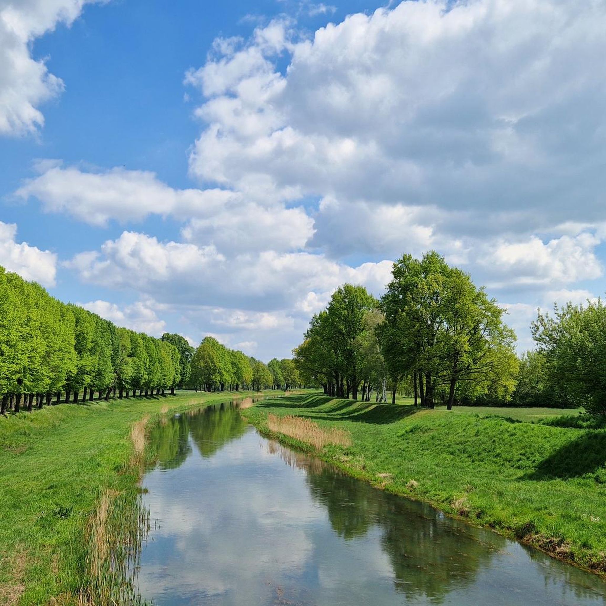
Yes, many of the road cycling routes around Elsterwerda are designed as loops, offering convenient starting and ending points. For example, the Hirschfeld–Plessa-Süd Avenue – Grödel Canal near Elsterwerda loop from Elsterwerda-Biehla is a moderate 36.6 km circular path that provides views of the Grödel Canal and surrounding natural areas.
Can I find routes that follow the Schwarze Elster Cycle Path?
Yes, several road cycling routes in the Elsterwerda area incorporate sections of the renowned Schwarze Elster Cycle Path. This long-distance route, tracing the Schwarze Elster River, offers scenic and often asphalted sections. An example is the Biotowers Lauchhammer – Schwarze Elster Cycle Path loop from Elsterwerda, an easy 45.4 km ride.
What are the difficulty levels of road cycling routes in Elsterwerda?
The routes around Elsterwerda cater to a range of abilities. Out of 42 available routes, you'll find 7 easy routes, 34 moderate routes, and 1 difficult route. This variety ensures that both casual riders and those looking for a challenge can find suitable options.
Are there any specific areas known for their natural beauty that I can cycle through?
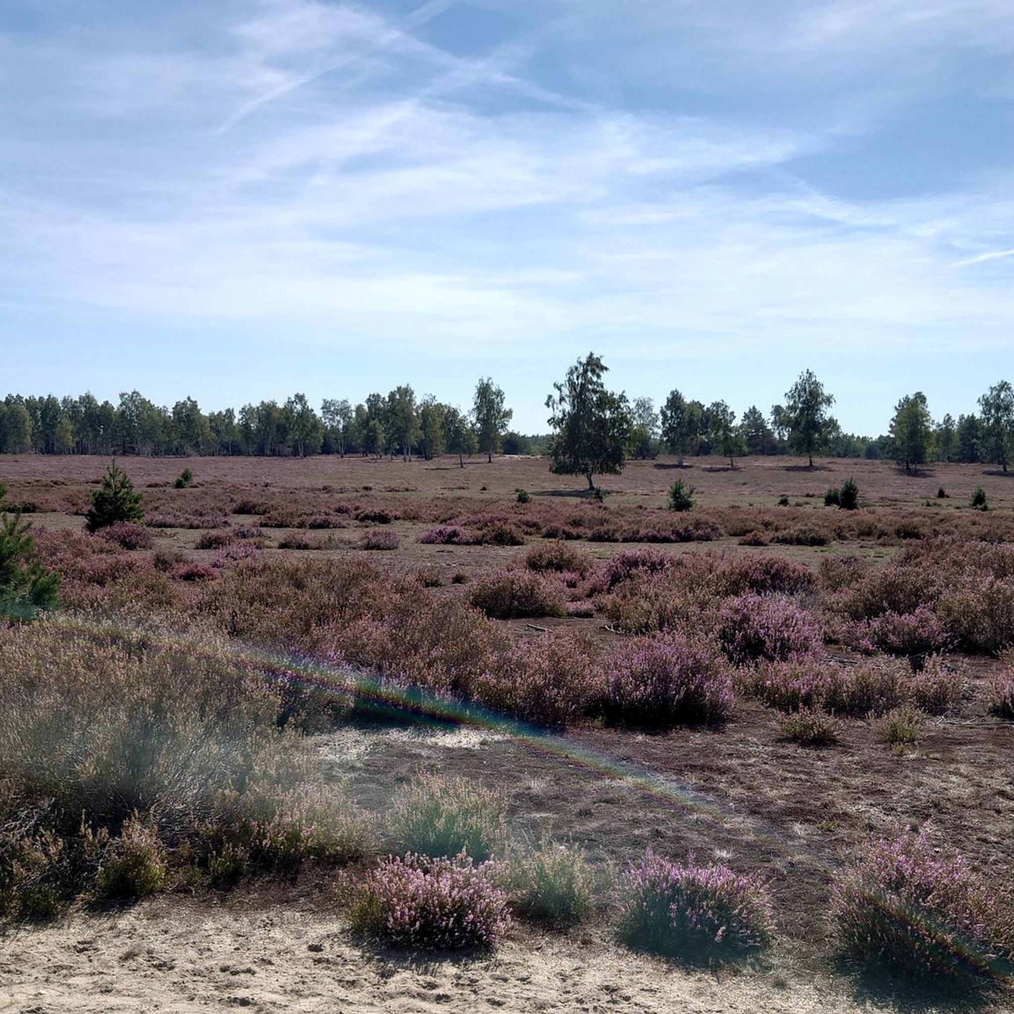
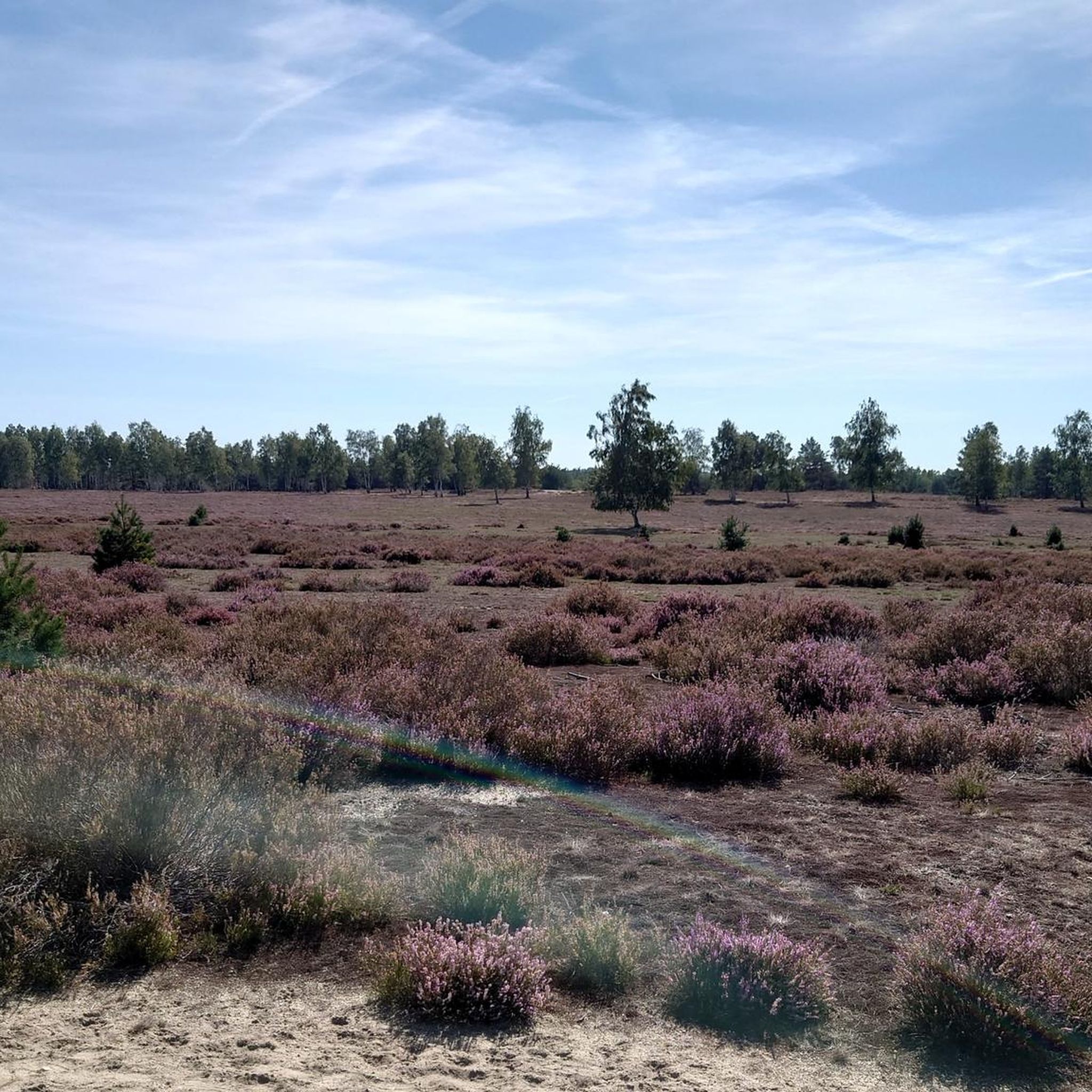
The Niederlausitzer Heidelandschaft Nature Park is a significant natural highlight, offering expansive meadows, dense forests, and characteristic heathlands that are particularly beautiful when in bloom. The Schraden lowland area also presents a distinct landscape with well-developed trails, providing a unique natural setting for your rides.
How many road cycling routes are available around Elsterwerda?
There are over 40 road cycling routes available around Elsterwerda, offering a wide variety of options for different skill levels and preferences.
Most popular routes around Elsterwerda
Most popular attractions around Elsterwerda

Get inspired with the komoot mobile app


Explore more
Browse the best Road cycling routes in other regions.
