The best road cycling routes around Grandfather
5.0
(1)
234
riders
28
rides
Road cycling around Grandfather offers challenging terrain with significant elevation changes, making it a destination for experienced cyclists. The region is characterized by mountainous landscapes, deep valleys, and sections of the Blue Ridge Parkway. Cyclists can expect routes with substantial climbs and exhilarating descents through varied natural environments.
Best road cycling routes around Grandfather
- The most popular road cycling route is View of Grandfather Mountain – Rough Ridge Overlook loop from Flat Rock, a 36.3 miles (58.3 km) trail…
Last updated: July 8, 2026
5.0
(1)
63
riders
60.8km
03:08
1,040m
1,040m
Hard road ride. Very good fitness required. Mostly well-paved surfaces and easy to ride.
21
riders
81.6km
04:35
1,610m
1,610m
Hard road ride. Very good fitness required. Some segments of this route may be unpaved and difficult to ride.

Sign up for free
17
riders
25.8km
01:20
430m
430m
Moderate road ride. Good fitness required. Some segments of this route may be unpaved and difficult to ride.
14
riders
50.2km
02:32
810m
810m
Moderate road ride. Good fitness required. Some segments of this route may be unpaved and difficult to ride.
7
riders
82.6km
03:56
1,040m
1,040m
Hard road ride. Very good fitness required. Some segments of this route may be unpaved and difficult to ride.
Get access to more routes and recommendations from other explorers.
Sign up for free
Already have an account?
Our route recommendations are based on thousands of hikes, rides, and runs completed by other people on komoot.
Start today with a free account
Your next adventure awaits.
Login or Signup
Popular around Grandfather


Tips from the Community

Nector Sector is a fun hiking and mountain biking trail that connects to the popular Hemlock Trail. It can get pretty steep and technical in spots, so keep your eyes on the trail and bring your full-suspension bike if you have one!
0
0
Linville Falls Picnic Area is at Milepost 316.5 on the Blue Ridge Parkway and plays host to a bunch of different picnic areas, pavilions, and parking lots. The majority of the sites are right on the Linville River; this is one of the more popular picnic areas on the parkway due to how many sites there are and how close it is to the Linville Gorge Wilderness.
0
0

With a pavillion and playground, this swimming lake makes a great spot to stop for a pitstop and perhaps a cool off.
0
0
Linville Falls Picnic Area is at Milepost 316.5 on the Blue Ridge Parkway and plays host to a bunch of different picnic areas, pavilions, and parking lots. The majority of the sites are right on the Linville River; this is one of the more popular picnic areas on the parkway due to how many sites there are and how close it is to the Linville Gorge Wilderness.
0
0
You can find Camp Creek Overlook at Milepost 315.6 on the Blue Ridge Parkway. Near the sign at the overlook, you can find a small, super short dirt trail that leads down to the water. This is a pretty peaceful pull-off that not a lot of people frequent.
0
0
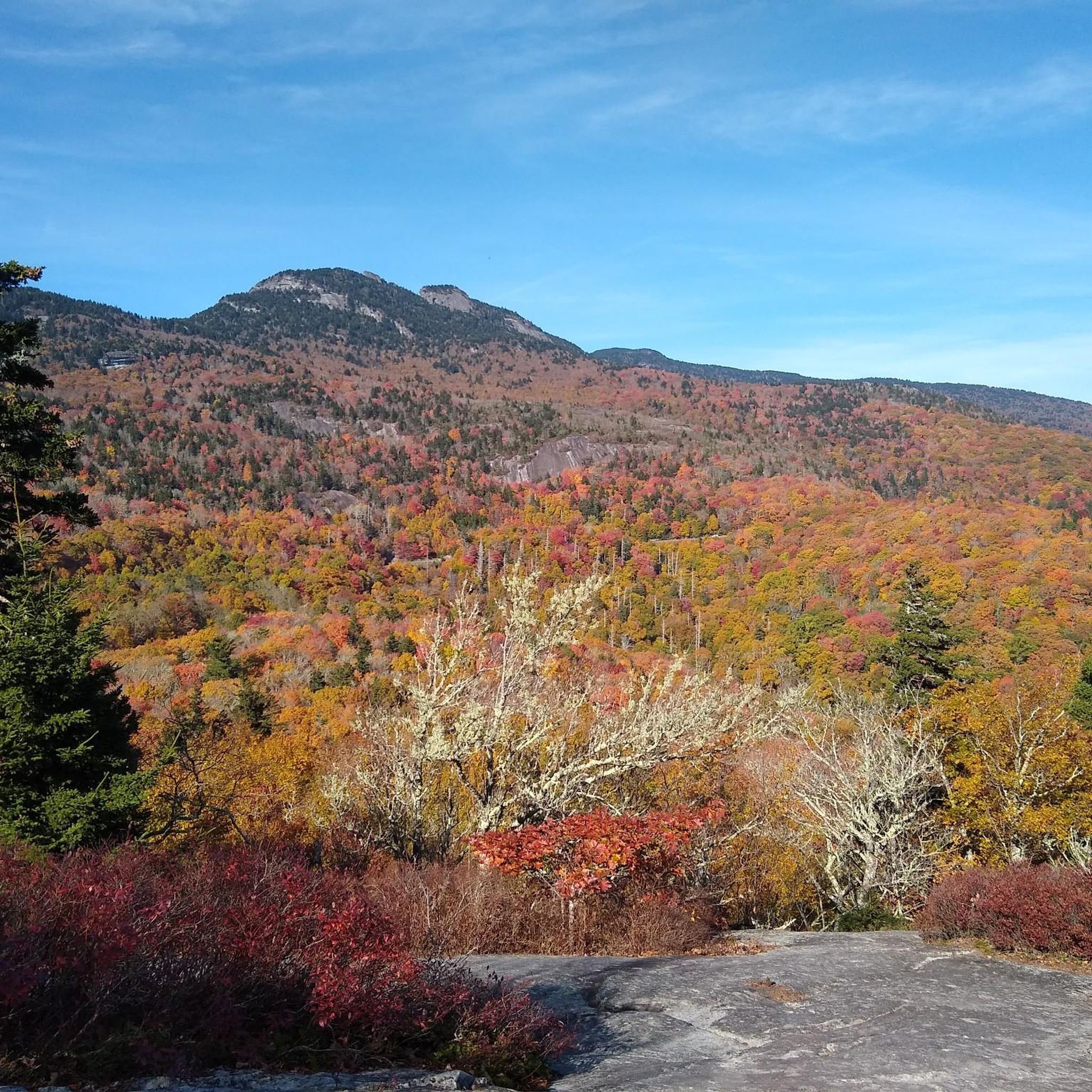
At Milepost 302.8 on the Blue Ridge Parkway, you can find the Rough Ridge Overlook. There is a trail that offers even better views from a better vantage point, but there are a few window views through the trees from the parking area. The section of the parkway bordering Grandfather Mountain State Park is especially beautiful in the fall when the colors on the trees are changing.
0
0
Frequently Asked Questions
How many road cycling routes are available around Grandfather Mountain?
Based on komoot data, there are over 20 road cycling routes in the Grandfather Mountain area. These routes offer a mix of moderate and difficult options, catering to various skill levels.
What kind of terrain can I expect when road cycling around Grandfather Mountain?
The Grandfather Mountain region is characterized by challenging terrain, featuring significant elevation changes, stout climbs, and exhilarating descents. Cyclists can also find mellower cruises in the valleys, but overall, expect mountainous landscapes and substantial elevation gains, with some routes offering over 9,000 feet of climbing.
Are there any easy or beginner-friendly road cycling routes in the Grandfather Mountain area?
While the region is known for its challenging climbs, there are moderate options available. For instance, the Wildcat Lake – Mill Pond loop from Avery County is a moderate 16.8-mile path that winds through valleys and past natural features, taking about 1 hour 23 minutes. Another moderate option is the Wildcat Lake – Mill Pond loop from Bald Mountain, which is shorter at 8.6 miles.
What are some notable landmarks or viewpoints I can see along the road cycling routes?
Many routes offer stunning views and pass by significant landmarks. You can experience panoramic vistas from overlooks like Rough Ridge Lookout and Beacon Heights Overlook. While cycling is not permitted on the scenic drive to the Mile High Swinging Bridge itself, the surrounding area provides incredible views of this iconic attraction and other peaks like MacRae Peak and Calloway Peak.
Are there any road cycling routes that offer a loop or circular experience?
Yes, many routes in the Grandfather Mountain area are designed as loops. For example, the popular View of Grandfather Mountain – Rough Ridge Overlook loop from Flat Rock is a 36.3-mile difficult route. Another option is the Wildcat Lake – Mill Pond loop from Sugar Mountain, a 37.4-mile difficult trail.
What is the best time of year to go road cycling around Grandfather Mountain?
The Grandfather Mountain area offers beautiful cycling experiences across seasons. While the region is known for its challenging terrain, the stunning views are particularly vibrant during autumn with fall foliage. However, always check local weather forecasts, as mountain conditions can change rapidly.
What do other road cyclists enjoy most about cycling in Grandfather Mountain?
The area is highly rated by the komoot community, with an average score of 5.0 stars. Reviewers often praise the challenging climbs, exhilarating descents, and the breathtaking panoramic mountain views, especially along sections of the Blue Ridge Parkway.
Are there any long-distance road cycling routes for experienced riders?
Absolutely. For experienced cyclists seeking a challenge, routes like the Linville Falls Picnic Area – Anthony Mountain loop from Banner Elk offer a substantial ride of over 50 miles (83.3 km) with significant elevation gain, typically taking over 4 hours to complete. The region is known for routes with substantial climbs, some featuring over 9,000 feet of climbing.
Is there parking available near the road cycling routes in Grandfather Mountain?
Yes, parking is generally available near the starting points of many routes. For instance, there is a designated Parkinglot listed as a highlight in the area, which can serve as a convenient access point for your cycling adventures.
Can I find cafes or places to refuel along the road cycling routes?
While specific cafes directly on every route are not detailed, the Grandfather Mountain region, including nearby towns like Boone, offers various amenities. It's advisable to plan your route and check for establishments in towns or villages you pass through to ensure you have opportunities to refuel.
What are the typical distances and durations for road cycling routes in this area?
Route distances vary significantly, from moderate paths around 16 miles (27 km) like the Wildcat Lake – Mill Pond loop from Avery County, to longer, more challenging routes exceeding 50 miles (83 km), such as the Linville Falls Picnic Area – Anthony Mountain loop from Banner Elk. Durations can range from just over an hour for shorter loops to over 4 hours for the most demanding rides, depending on the route's difficulty and your pace.
Most popular routes around Grandfather
Most popular attractions around Grandfather

Get inspired with the komoot mobile app


Explore more
Browse the best Road cycling routes in other regions.
