The best road cycling routes around Banner Elk
5.0
(1)
212
riders
19
rides
Road cycling routes around Banner Elk are characterized by the region's mountainous terrain, featuring significant elevation changes and winding roads through forested landscapes. The area offers a mix of challenging climbs and scenic descents, typical of the Appalachian foothills. Road cyclists can expect routes that traverse valleys, ascend hills, and provide views of the surrounding natural environment. The region's geography makes it suitable for riders seeking demanding road cycling experiences.
Best road cycling routes around Banner Elk
- The most popular…
Last updated: May 20, 2026
21
riders
81.6km
04:35
1,610m
1,610m
Hard road ride. Very good fitness required. Some segments of this route may be unpaved and difficult to ride.
11
riders
13.8km
00:49
310m
310m
Moderate road ride. Good fitness required. Some segments of this route may be unpaved and difficult to ride.

Sign up for free
7
riders
82.6km
03:56
1,040m
1,040m
Hard road ride. Very good fitness required. Some segments of this route may be unpaved and difficult to ride.
13
riders
49.3km
02:28
740m
740m
Moderate road ride. Good fitness required. Some segments of this route may be unpaved and difficult to ride.
4
riders
32.3km
01:38
490m
490m
Moderate road ride. Good fitness required. Some segments of this route may be unpaved and difficult to ride.
Get access to more routes and recommendations from other explorers.
Sign up for free
Already have an account?
Our route recommendations are based on thousands of hikes, rides, and runs completed by other people on komoot.
Start today with a free account
Your next adventure awaits.
Login or Signup

Tips from the Community

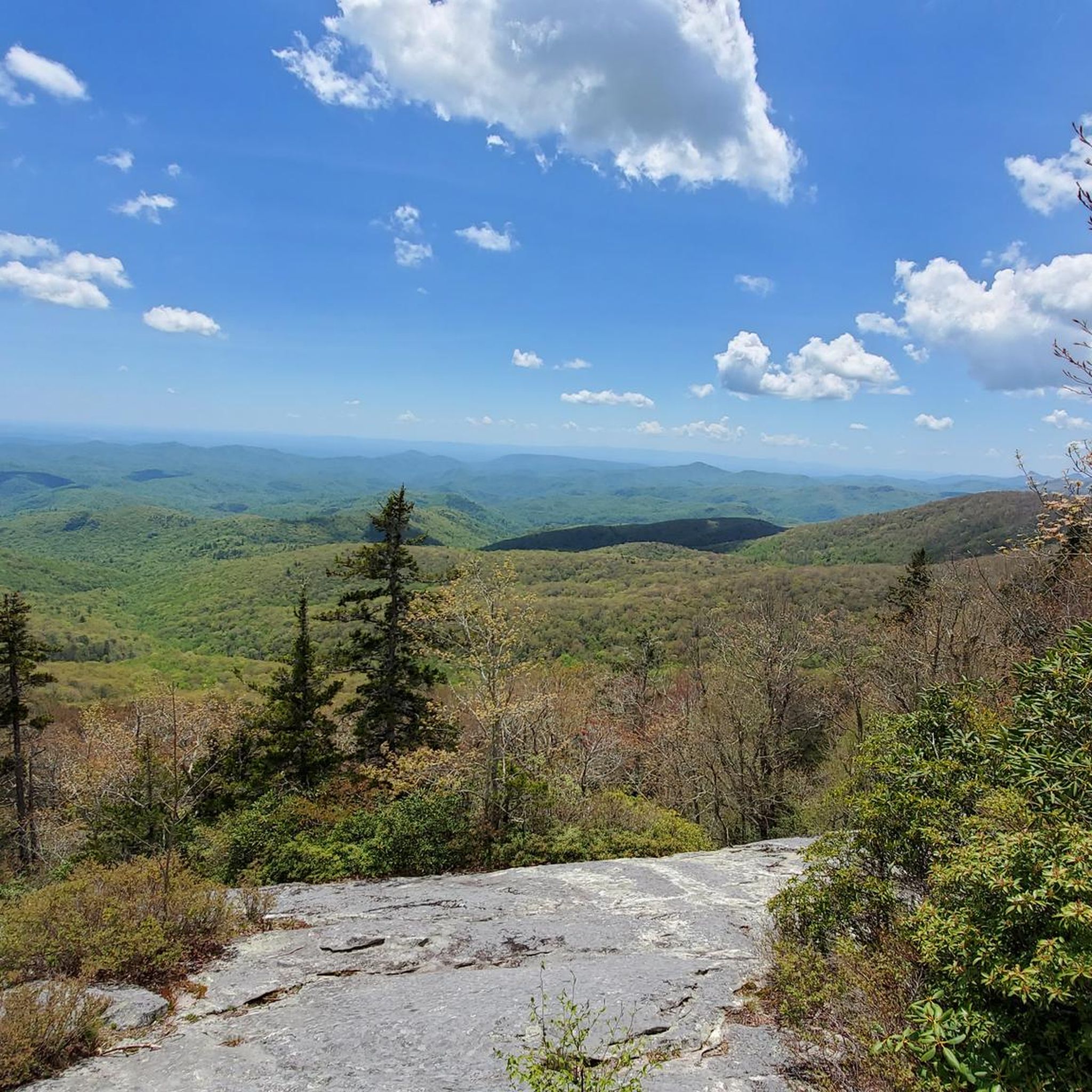
Nector Sector is a fun hiking and mountain biking trail that connects to the popular Hemlock Trail. It can get pretty steep and technical in spots, so keep your eyes on the trail and bring your full-suspension bike if you have one!
0
0
Linville Falls Picnic Area is at Milepost 316.5 on the Blue Ridge Parkway and plays host to a bunch of different picnic areas, pavilions, and parking lots. The majority of the sites are right on the Linville River; this is one of the more popular picnic areas on the parkway due to how many sites there are and how close it is to the Linville Gorge Wilderness.
0
0

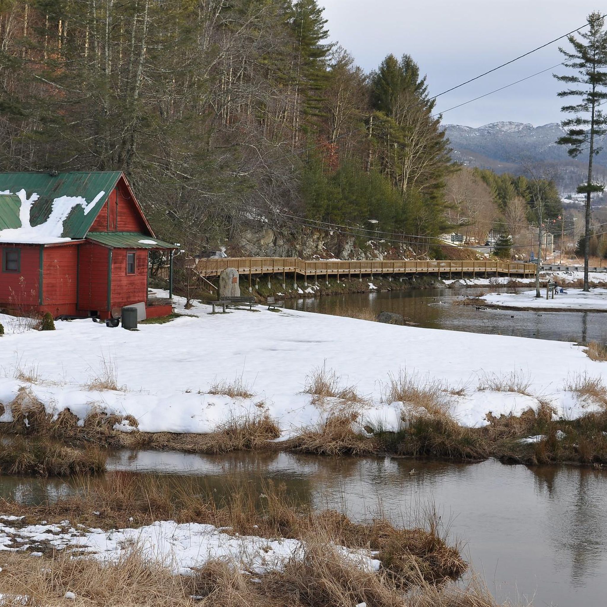
With a pavillion and playground, this swimming lake makes a great spot to stop for a pitstop and perhaps a cool off.
0
0
Linville Falls Picnic Area is at Milepost 316.5 on the Blue Ridge Parkway and plays host to a bunch of different picnic areas, pavilions, and parking lots. The majority of the sites are right on the Linville River; this is one of the more popular picnic areas on the parkway due to how many sites there are and how close it is to the Linville Gorge Wilderness.
0
0
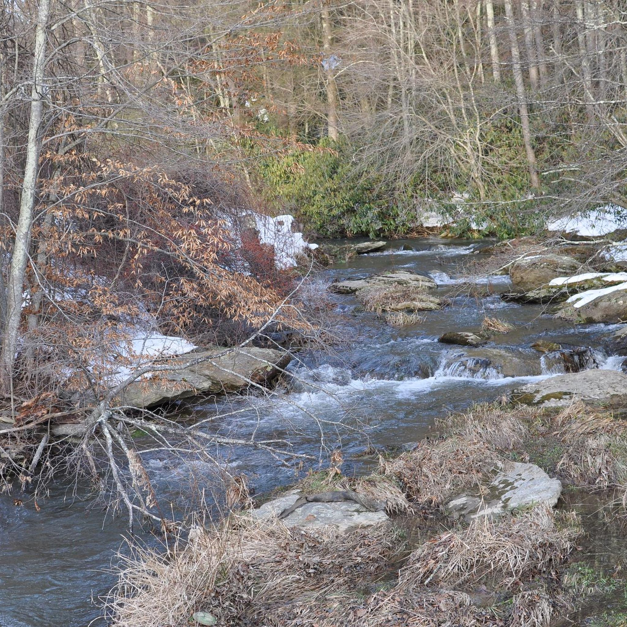
You can find Camp Creek Overlook at Milepost 315.6 on the Blue Ridge Parkway. Near the sign at the overlook, you can find a small, super short dirt trail that leads down to the water. This is a pretty peaceful pull-off that not a lot of people frequent.
0
0
Frequently Asked Questions
How many road cycling routes are available around Banner Elk?
There are over 20 road cycling routes documented on komoot for the Banner Elk area, offering a variety of experiences for cyclists.
Are there any easy road cycling routes in Banner Elk for beginners or families?
The road cycling routes around Banner Elk are characterized by mountainous terrain with significant elevation changes. The guide indicates that there are no easy road bike trails available, with routes ranging from moderate to difficult in ability level.
What kind of challenges can I expect on road cycling routes near Banner Elk?
Road cycling in Banner Elk is defined by mountainous ascents, forested roads, and valley descents. You can expect demanding climbs and sustained ascents, typical of the Appalachian foothills. Routes like Nector Sector – Mill Pond loop from Banner Elk feature significant climbs, while Linville Falls Picnic Area – Anthony Mountain loop from Banner Elk offers varied terrain and sustained ascents.
Are there road cycling routes that form a loop around Banner Elk?
Yes, many of the road cycling routes in the Banner Elk area are loops. For example, the Mill Pond – Wildcat Lake loop from Banner Elk is a moderate 30.6-mile (49.3 km) route, and the Wildcat Lake – Mill Pond loop from Sugar Mountain is a difficult 37.4-mile (60.2 km) option.
What is the best time of year for road biking in Banner Elk?
Given Banner Elk's mountainous location, the best time for road cycling is typically from late spring through early fall (May to October). During these months, the weather is generally milder, and the roads are clear of snow and ice, offering pleasant conditions for tackling the region's challenging terrain and enjoying the scenic views.
Are there scenic viewpoints or natural attractions along the road cycling routes?
Yes, the mountainous region around Banner Elk offers numerous scenic views and natural attractions. While cycling, you might find yourself near highlights such as Rough Ridge Lookout or Beacon Heights Overlook, which provide stunning vistas. You could also be close to natural monuments like MacRae Peak or even the Mile High Swinging Bridge.
What should I bring for road biking in the Banner Elk area?
When road biking in Banner Elk's mountainous terrain, it's advisable to bring appropriate gear for varying conditions. This includes layers of clothing, as temperatures can change with elevation, sufficient water and nutrition for sustained efforts, a repair kit, and a fully charged phone. Given the significant climbs, a bike with suitable gearing is also recommended.
Where can I find parking for road cycling routes in Banner Elk?
While specific parking details for each route are best checked on the individual tour pages, general parking options in the Banner Elk area often include public lots or designated trailheads. For instance, a Parkinglot highlight is noted in the region, suggesting available facilities.
What do other road cyclists enjoy most about road cycling in Banner Elk?
Road cyclists using komoot often praise the challenging nature of the routes and the beautiful mountainous scenery. The significant elevation changes and winding roads through forested landscapes provide a rewarding experience for those seeking demanding rides. The region's natural environment and the sense of accomplishment after tackling its climbs are frequently highlighted.
Are there any less crowded road biking options around Banner Elk?
While Banner Elk is a popular destination, exploring routes that start from slightly less central locations, such as the Mill Pond – Wildcat Lake loop from Sugar Mountain, might offer a quieter experience. Additionally, cycling during off-peak hours or weekdays can help avoid busier times on popular routes.
How long do road cycling routes typically take in Banner Elk?
The duration of road cycling routes in Banner Elk varies significantly based on distance, elevation, and your fitness level. For example, a moderate route like the Mill Pond – Wildcat Lake loop from Banner Elk (30.6 miles / 49.3 km) typically takes around 2 hours 28 minutes, while a difficult route such as the Nector Sector – Mill Pond loop from Banner Elk (58.1 miles / 93.5 km) can take approximately 4 hours 26 minutes.
Most popular routes around Banner Elk
Most popular attractions around Banner Elk

Get inspired with the komoot mobile app


Explore more
Browse the best Road cycling routes in other regions.
