The best road cycling routes around Lowell
5.0
(3)
96
riders
24
rides
Road cycling around Lowell, Massachusetts, features a diverse landscape combining historic urban waterways with accessible rail trails and natural forest settings. The region is characterized by the Merrimack River and its network of canals, offering flat, scenic routes through the city's industrial heritage. Surrounding areas provide well-maintained rail trails, such as the Bruce Freeman Rail Trail, which offer varying lengths and elevation profiles for cyclists. State forests like Lowell-Dracut-Tyngsboro State Forest also contribute to the cycling landscape, providing opportunities for…
Last updated: May 13, 2026
14
riders
40.4km
01:48
300m
300m
Easy road ride. Great for any fitness level. Mostly well-paved surfaces and easy to ride.
13
riders
108km
04:52
740m
740m
Moderate road ride. Good fitness required. Mostly well-paved surfaces and easy to ride.

Sign up for free
13
riders
47.0km
02:05
340m
340m
Moderate road ride. Good fitness required. Mostly well-paved surfaces and easy to ride.
3
riders
33.3km
01:22
210m
210m
Easy road ride. Great for any fitness level. Mostly well-paved surfaces and easy to ride.
3
riders
49.5km
02:15
340m
340m
Moderate road ride. Good fitness required. Mostly well-paved surfaces and easy to ride.
Get access to more routes and recommendations from other explorers.
Sign up for free
Already have an account?
Our route recommendations are based on thousands of hikes, rides, and runs completed by other people on komoot.
Start today with a free account
Your next adventure awaits.
Login or Signup
Popular around Lowell

Tips from the Community

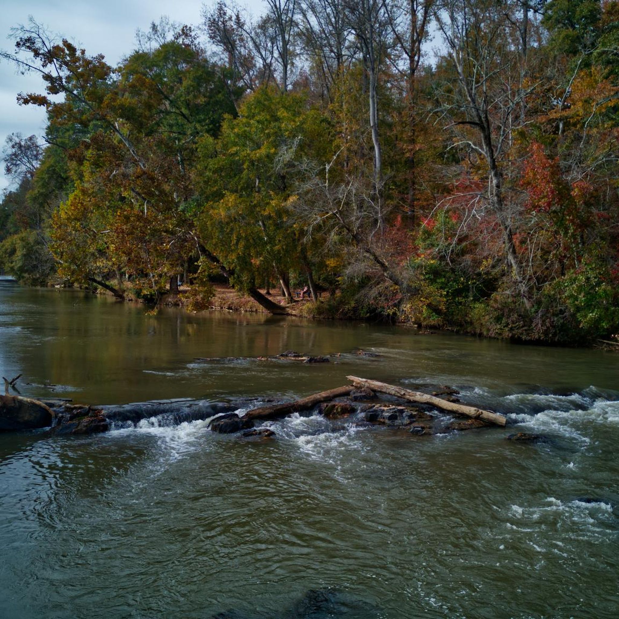
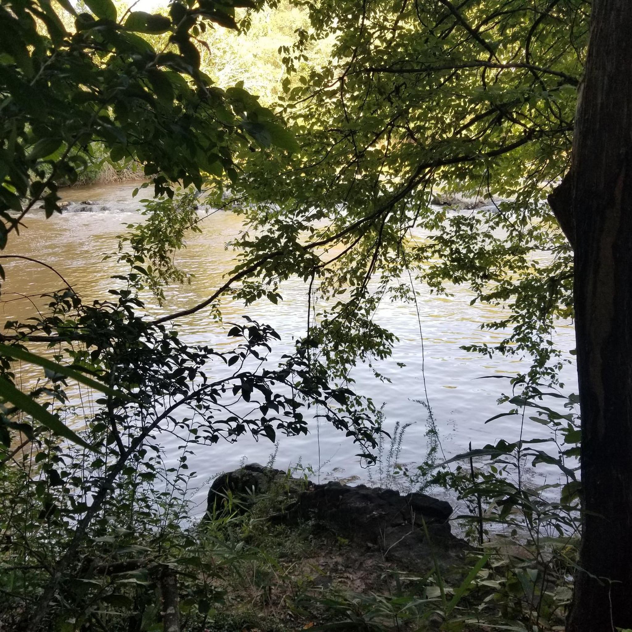
The Catawba River flows for 220 miles from the Blue Ridge Mountains in North Carolina. The river eventually flows into the Lake Wateree reservoir, and when it emerges again from the outlet it becomes known as the Wateree River.
0
0

The Rocky Branch Trail is a 1.25 mile trail that connects the towns of Belmont and Cramerton, North Carolina and is for primarily mountain bikers and hikers. Several single-track mountain bike trails extend off of this pleasant, shaded trail, so be aware and share the trails.
0
0
Frequently Asked Questions
How many road cycling routes are available around Lowell?
Lowell offers a diverse selection of over 25 road cycling routes. These range from easy, flat paths to more challenging rides with significant elevation gain, catering to various skill levels.
What kind of terrain can I expect on road cycling routes in Lowell?
You'll find a varied landscape for road cycling in Lowell. The region features smooth, dedicated rail trails like the Bruce Freeman Rail Trail, offering mostly flat and paved surfaces. Additionally, routes along the Merrimack River and historic canals provide scenic, urban cycling experiences. Some routes may also incorporate sections near state forests, offering a more natural, wooded environment, though primarily on paved roads or suitable fire roads.
Are there any easy road cycling routes suitable for beginners in Lowell?
Yes, Lowell has several easy road cycling routes perfect for beginners or those seeking a relaxed ride. For example, the Cramer Mountain Climb loop from Belmont is an easy 25.1-mile (40.4 km) trail with rolling hills, typically completed in under two hours. Another option is the Cramer Mountain Climb loop from Cramerton, which is 32.0 miles (51.5 km) and also rated as easy.
What are some challenging road cycling routes for experienced riders?
For experienced cyclists seeking a challenge, Lowell offers routes with significant elevation. The Catawba River loop from Belmont is a difficult 71.6-mile (115.2 km) route with over 1,000 meters of elevation gain, taking nearly six hours to complete. Another demanding option is the
What scenic landmarks or viewpoints can I see along road cycling routes in Lowell?
Lowell's road cycling routes offer a blend of natural beauty and historical sights. You can explore the city's industrial heritage along the Merrimack River and its canals, particularly within the Lowell National Historical Park. For natural viewpoints, consider routes that pass near View of the bridge drop in the competition channel or offer glimpses of local ponds like Martin Pond Number Two. The rail trails also provide pleasant, green corridors.
Are there any family-friendly road cycling options in Lowell?
Yes, the rail trails around Lowell, such as sections of the Bruce Freeman Rail Trail, are excellent for family-friendly road cycling due to their smooth, dedicated, and mostly flat paths. These trails offer a safe and enjoyable environment for riders of all ages. The Lowell Heritage State Park also features a two-mile stretch of waterfront with paved paths suitable for families.
What is the best time of year for road cycling in Lowell?
The spring, summer, and fall months generally offer the best conditions for road cycling in Lowell. Spring brings blooming landscapes, while summer provides warm weather. Autumn is particularly scenic with vibrant foliage. Always check local weather conditions before heading out, as winter can bring snow and ice, making some routes less accessible.
Are there any circular road cycling routes in Lowell?
Many of the road cycling routes around Lowell are designed as loops, allowing you to start and end at the same point. Examples include the Cramer Mountain Climb loop from Belmont and the Cramer Mountain Climb loop from Gastonia. These circular routes are convenient for exploring the area without needing to retrace your path.
Where can I find parking for road cycling routes in Lowell?
Lowell and its surrounding areas offer various parking options, especially near popular trailheads and state parks. Many parks and trail access points provide ample parking, making it convenient to start your ride. For urban routes, public parking garages or street parking may be available. It's advisable to check specific starting points for parking availability.
What do other road cyclists enjoy most about road cycling in Lowell?
The road cycling experience in Lowell is highly rated by the komoot community, with an average score of 5.0 stars from over 3 reviews. Cyclists often praise the diverse terrain, from historic urban waterways to accessible rail trails, and the opportunity to combine scenic rides with exploration of the region's rich history and natural beauty.
Can I access road cycling routes in Lowell using public transport?
Lowell's urban core and some surrounding areas are accessible via public transport, which can help you reach starting points for certain routes, especially those within the city or along major corridors. For routes further afield, particularly those in state forests or more rural rail trail sections, personal transport might be more convenient. You can also find information on cycling in Lowell, including public transport considerations, on the National Park Service website.
Are there any specific attractions or points of interest along the road cycling routes?
Yes, many routes offer interesting sights. You can cycle past the historic mills and canals of the Lowell National Historical Park. Natural attractions include the South Fork Trail (The Pharr Yarns Family Trail), and various ponds like Martin Pond Number Two. These highlights provide opportunities to pause and explore the local environment and history.
Most popular routes around Lowell
Most popular attractions around Lowell

Get inspired with the komoot mobile app


Explore more
Browse the best Road cycling routes in other regions.
