The best walks and hikes around Ellwangen (Jagst)
4.6
(1116)
4,532
hikers
419
hikes
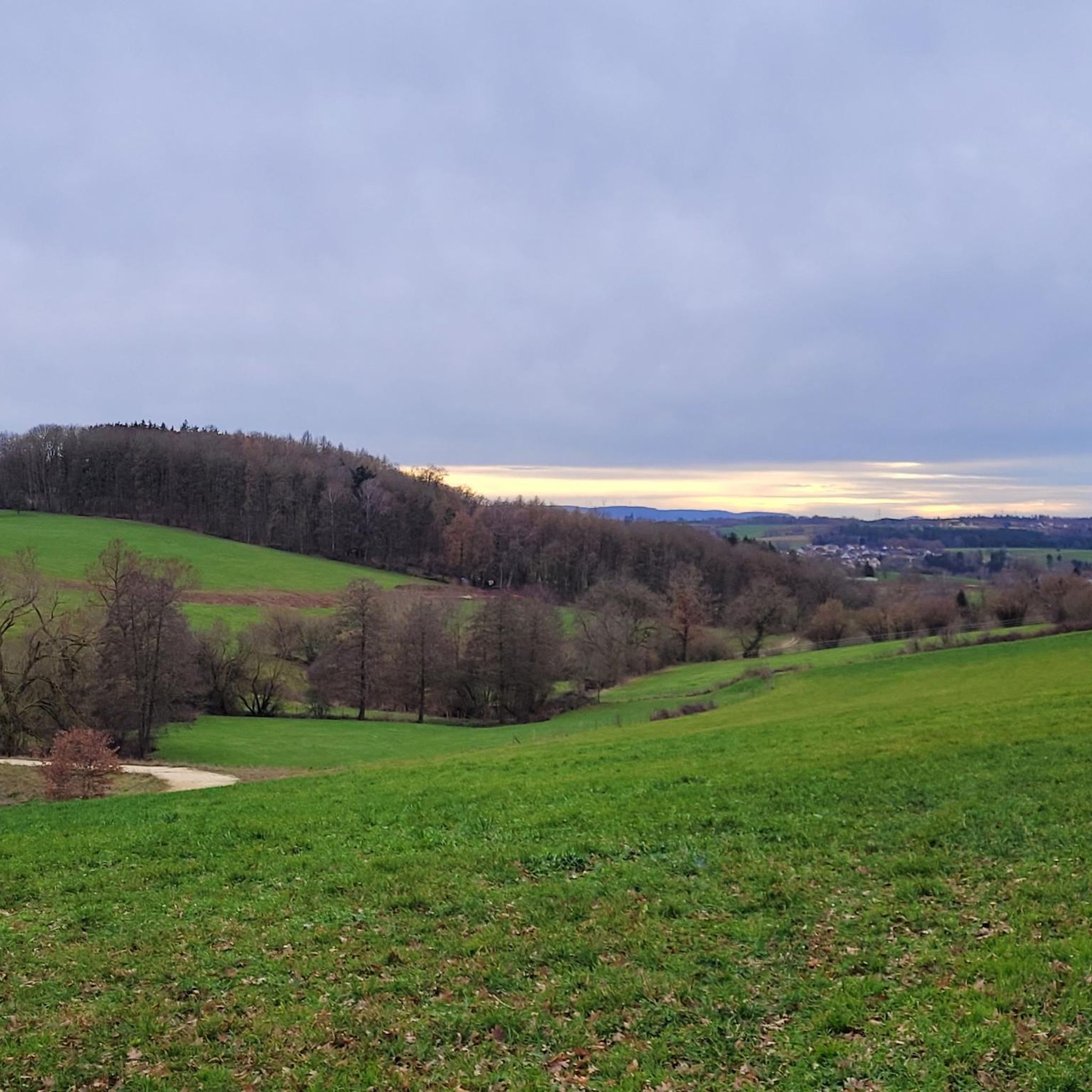
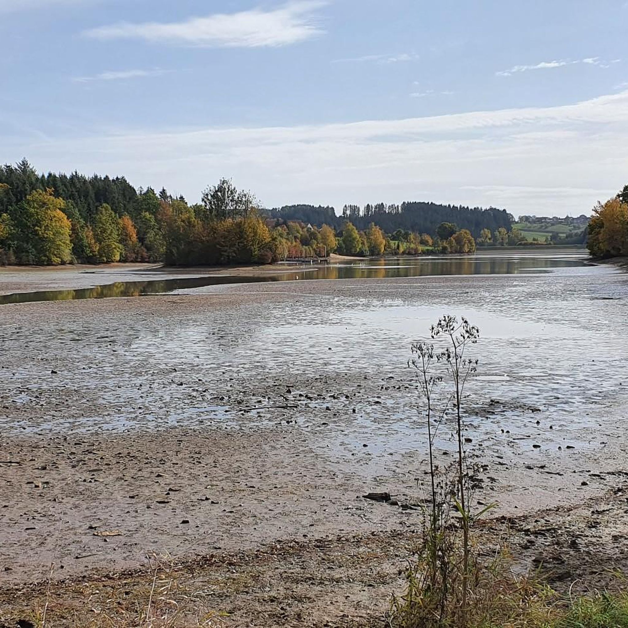
Hiking around Ellwangen (Jagst) offers diverse landscapes, including the idyllic river valleys of the Jagst, expansive Swabian Forests, and the serene Ellwanger Seenland, a region dotted with numerous lakes. Situated between the Swabian Alb and the Hohenlohe Plain, the area features gentle elevations and varied natural elements. Hikers can explore the Rotenbach valley and the Ellwanger Hills, which provide panoramic views, alongside the quiet forests of the Virngrund.
Best hiking trails around Ellwangen (Jagst)
- The most popular hiking route is…
Last updated: September 29, 2026
4.8
(43)
150
hikers
11.4km
03:01
100m
100m
Moderate hike. Good fitness required. Easily-accessible paths. Suitable for all skill levels.
4.6
(27)
154
hikers
Moderate hike. Good fitness required. Easily-accessible paths. Suitable for all skill levels.

4.4
(29)
96
hikers
6.90km
01:50
70m
70m
Easy hike. Great for any fitness level. Easily-accessible paths. Suitable for all skill levels.
4.5
(28)
80
hikers
5.82km
01:33
70m
60m
Easy hike. Great for any fitness level. Easily-accessible paths. Suitable for all skill levels.
4.2
(13)
54
hikers
12.8km
03:25
130m
130m
Moderate hike. Good fitness required. Easily-accessible paths. Suitable for all skill levels.
Get access to more routes and recommendations from other explorers.
Already have an account?
Our route recommendations are based on thousands of hikes, rides, and runs completed by other people on komoot.
Start today with a free account
Your next adventure awaits.
Popular around Ellwangen (Jagst)

Main-Danube-Lake Constance Trail – Along iconic waters
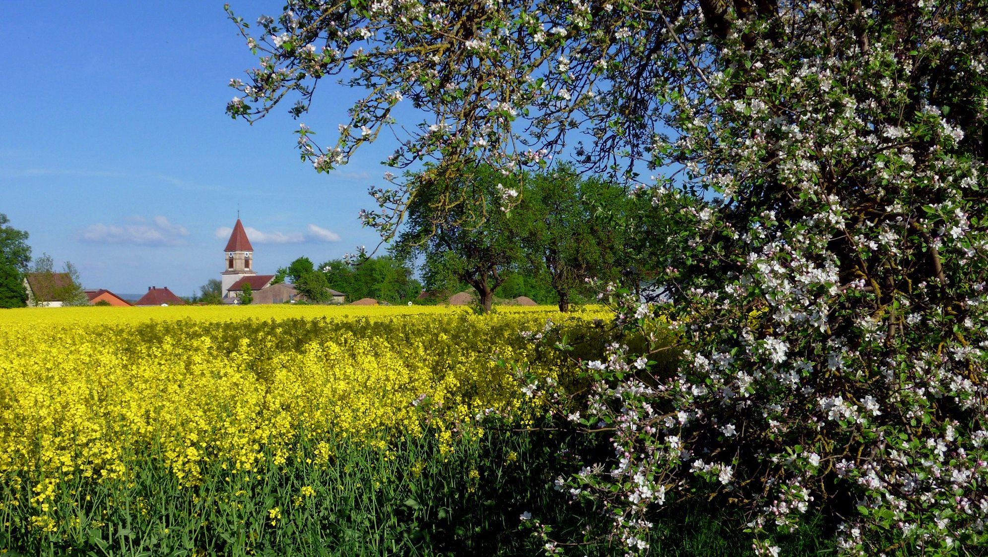
A lush weekend at the Franconian Moststraße
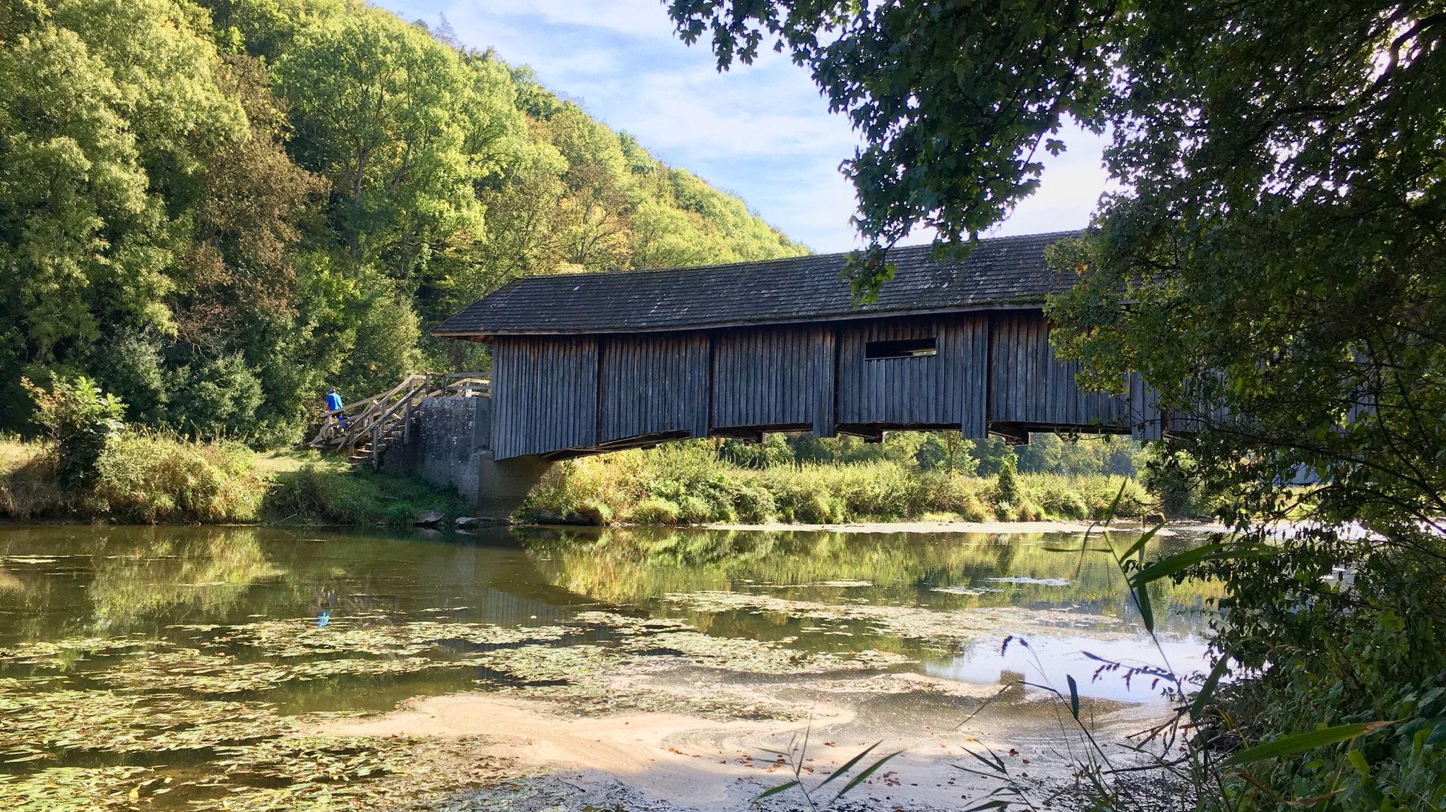
Kocher-Jagst-Trail – Naturerlebnis und Kulturgenuss im Herzen Hohenlohes
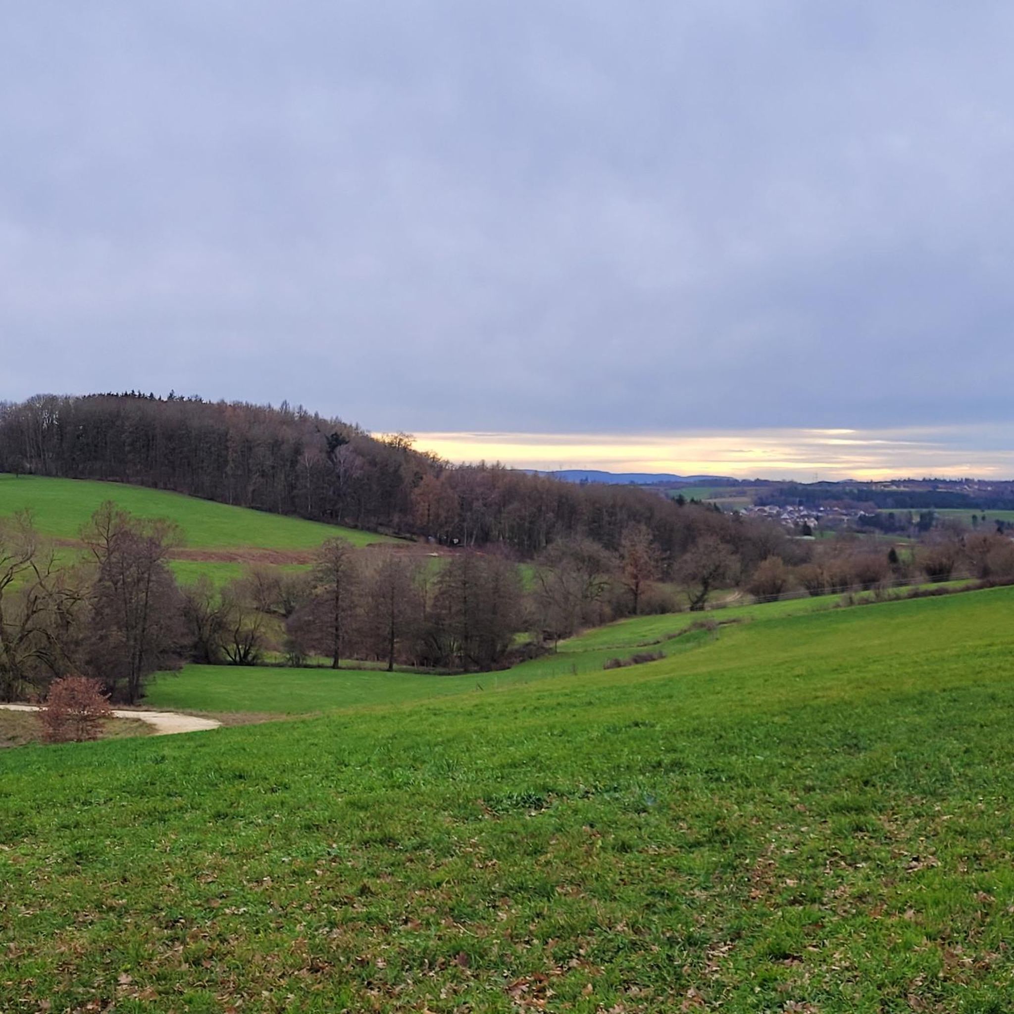
Cycling around Ellwangen (Jagst)
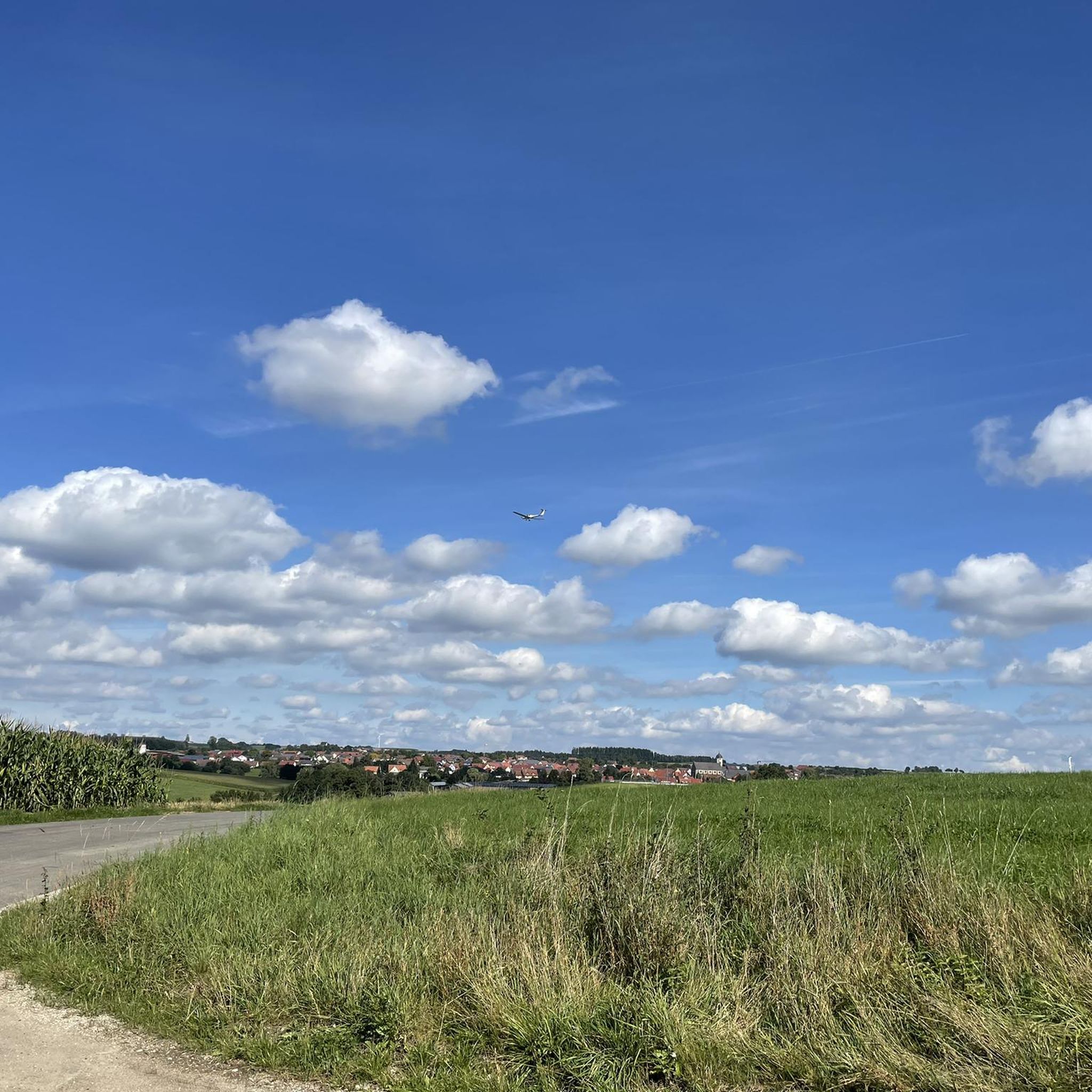
Running Trails around Ellwangen (Jagst)
Road Cycling Routes around Ellwangen (Jagst)
MTB Trails around Ellwangen (Jagst)

Gravel biking around Ellwangen (Jagst)
Other adventures around Ellwangen (Jagst)


Tips from the Community

The bronze fountain stands beautifully at the entrance to the pedestrian zone.
3
0

An example of ecumenism in action! The old Jesuit Church has been the Evangelical Church since 1803 and is connected to the Catholic Basilica with an open door.
2
0

You can easily walk around the outside; the campsite is in a beautiful location.
1
0


historic buildings directly in the old town
0
1

There is always something going on there
4
0


Good lakeside restaurant in Espachweiler
0
0
Frequently Asked Questions
How many hiking trails are available around Ellwangen (Jagst)?
There are over 450 hiking routes in the Ellwangen (Jagst) area, offering a wide range of options from easy strolls to more challenging treks. You'll find 273 easy routes, 171 moderate, and 7 difficult ones.
What do other hikers enjoy most about hiking in Ellwangen (Jagst)?
The area is highly rated by the komoot community, with an average score of 4.6 stars from over 1,000 reviews. Hikers often praise the diverse landscapes, including the tranquil river valleys, dense forests, and numerous lakes, as well as the well-maintained paths.
Are there easy or family-friendly hiking routes in Ellwangen (Jagst)?
Yes, Ellwangen (Jagst) offers many easy and family-friendly options. A good example is the Jesuit College in Ellwangen – Wooden King's Head Sculpture loop from Ellwangen, an easy 4.3-mile (6.9 km) path that combines historical sites with natural scenery. Another gentle option is the Aurochs in Josefstal – Marian Wayside Shrine loop from Saverwang, which is just under 3.7 miles (5.9 km) long.
Are there any challenging hiking trails near Ellwangen (Jagst)?
While most routes are easy to moderate, there are a few more challenging options. The region's terrain, situated between the Swabian Alb and the Hohenlohe Plain, generally features gentle elevations. For a longer, moderate hike, consider the Schönenberg Pilgrimage Church – Laubachhütte loop from Ellwangen, which covers over 8 miles (13.4 km) with more significant elevation changes.
What kind of circular walks can I find around Ellwangen (Jagst)?
Many of the trails in the Ellwangen (Jagst) area are circular, allowing you to start and end at the same point. A popular choice is the Espachweiler Lake – Eschbachweiler Pond loop from Espachweiler, a 7.1-mile (11.4 km) route that showcases the local lake landscape. The Sixenbachtal Nature Reserve – Marian Wayside Shrine loop from Espachweiler is another excellent circular option, leading through a nature reserve.
Are there any interesting landmarks or natural attractions to see along the hiking trails?
Yes, the area offers several points of interest. You can explore the Ipf witness mountain or the Gromberg Castle Ruins. For natural beauty, consider visiting the Blinde Rot Valley or the Rottal Valley. There are also religious sites like the Lourdes Grotto, Hohenberg.
What is the best time of year to hike in Ellwangen (Jagst)?
The region offers beautiful hiking experiences throughout the year. Spring brings blooming nature, while summer is ideal for enjoying the lakes. Autumn is particularly scenic with vibrant foliage in the Swabian Forests and Ellwanger Hills, offering panoramic views. Winter hiking is also possible, especially on the numerous well-maintained paths.
Are there hiking trails suitable for dogs in Ellwangen (Jagst)?
Many trails in Ellwangen (Jagst) are dog-friendly, especially those through the expansive Swabian Forests and along the river valleys. It's always recommended to keep dogs on a leash, especially near wildlife or in nature reserve areas like the Sixenbachtal. Always check local regulations for specific routes.
Are there any viewpoint hikes around Ellwangen (Jagst)?
Yes, the Ellwanger Hills provide panoramic views of the surrounding landscape. The Blasienberg is a notable viewpoint in the area, offering excellent vistas. Many routes through the higher elevations will provide scenic outlooks.
Can I find hikes with restaurant stops in Ellwangen (Jagst)?
Yes, several routes pass through or near villages and towns where you can find restaurants or traditional inns. Planning your hike to include a stop in Ellwangen itself or one of the smaller communities along the Jagst river is a great way to enjoy local cuisine and refreshments.
What are the typical durations for hikes in the Ellwangen (Jagst) area?
Hike durations vary widely. Easy routes like the Jesuit College in Ellwangen loop can take around 2 hours. Moderate trails, such as the Espachweiler Lake loop, typically last about 3 hours. Longer routes can extend to 4-5 hours or more, depending on your pace and breaks.
Is public transport available to access hiking trails in Ellwangen (Jagst)?
Ellwangen (Jagst) is well-connected by regional train services, and local buses serve surrounding villages. This makes it possible to reach many trailheads without a car. It's advisable to check local bus schedules in advance, especially for routes starting in more remote areas.
Are there designated parking areas for hikers near the trailheads?
Yes, most popular trailheads and starting points in and around Ellwangen (Jagst) offer designated parking facilities. For routes starting directly in Ellwangen, you can often find public parking. For trails in nature areas, look for signs indicating hiker parking. Always check specific route details for recommended parking spots.
Most popular routes around Ellwangen (Jagst)
Most popular attractions around Ellwangen (Jagst)

Get inspired with the komoot mobile app


Explore more
Browse the best Hikes in other regions.
