The best cycling routes around Rolesville
4.6
(35)
396
riders
20
rides
Touring cycling routes around Rolesville offer a diverse landscape characterized by extensive greenway systems, tranquil river corridors, and gently rolling rural roads. The region features a network of paved and unpaved paths, often following waterways like the Neuse River and Crabtree Creek. This area provides a mix of flat sections ideal for easy touring bike trails Rolesville and longer routes that traverse agricultural lands and natural preserves. The terrain generally presents mild elevation changes, making it accessible for various cycling…
Last updated: May 11, 2026
5.0
(2)
10
riders
64.5km
03:47
250m
250m
Moderate bike ride. Good fitness required. Mostly paved surfaces. Suitable for all skill levels.
5
riders
9.74km
00:51
70m
70m
Easy bike ride. Great for any fitness level. Mostly paved surfaces. Suitable for all skill levels.

Sign up for free
68.6km
04:06
380m
380m
Moderate bike ride. Good fitness required. Mostly paved surfaces. Suitable for all skill levels.
4.9
(9)
85
riders
Moderate bike ride. Good fitness required. Mostly paved surfaces. Suitable for all skill levels.
4.8
(10)
71
riders
Moderate bike ride. Good fitness required. Mostly paved surfaces. Suitable for all skill levels.
Get access to more routes and recommendations from other explorers.
Sign up for free
Already have an account?
Our route recommendations are based on thousands of hikes, rides, and runs completed by other people on komoot.
Start today with a free account
Your next adventure awaits.
Login or Signup
Popular around Rolesville


Tips from the Community

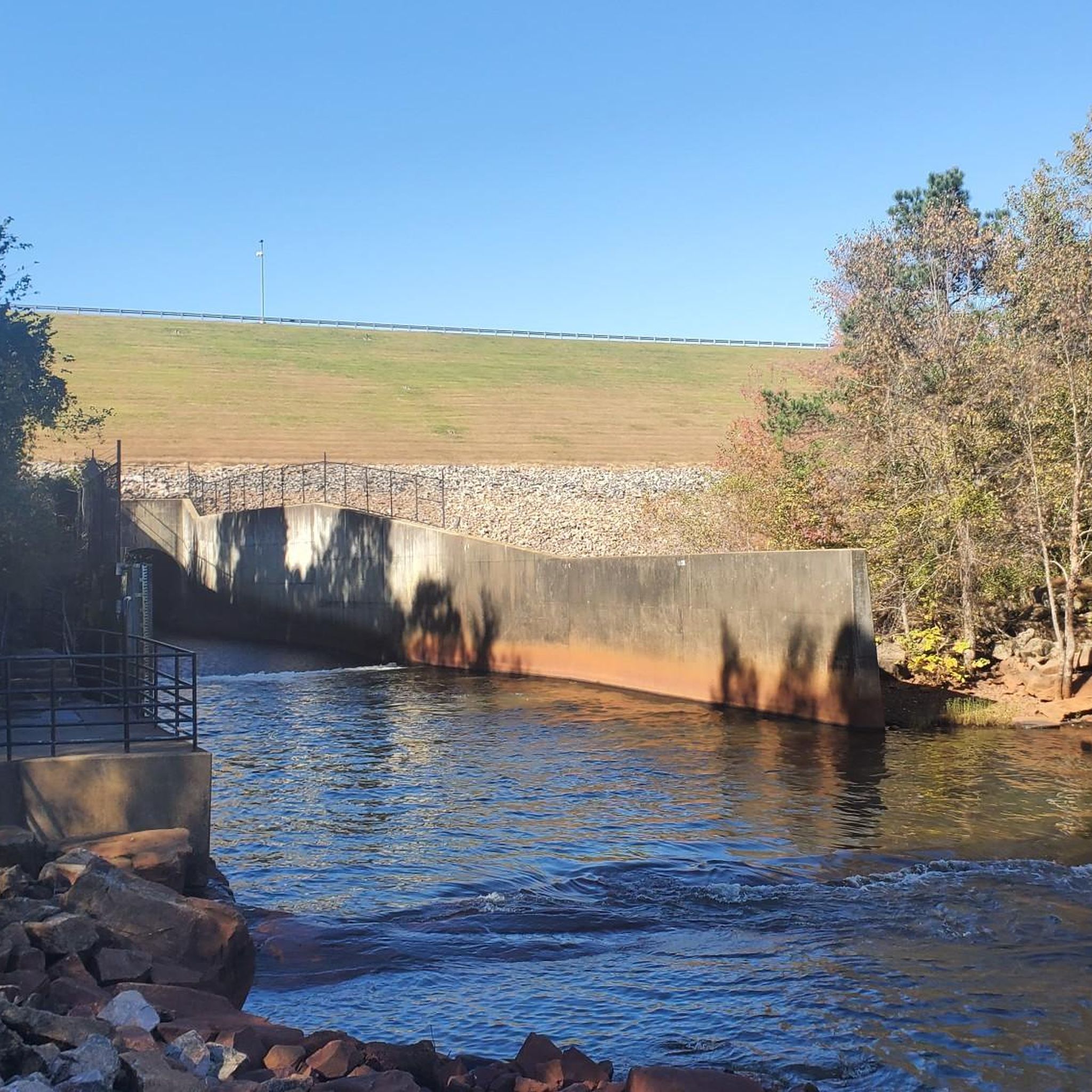
The Neuse River Greenway Trail stretches 34.6 miles from Falls Lake Dam to the Sam's Branch Greenway in Clayton. This multi-use path runs along the Neuse River with lush, tree-lined paths and multiple river crossings over bridges, including two suspension bridges. There are also short boardwalks through wetland areas that provide excellent wildlife viewing opportunities. On the southern end, the trail merges with the Clayton River Walk, extending the river's scenic views over an additional 4 miles. The trail connects to several other paths, including the Abbotts Creek Trail and Walnut Creek Trail, and is part of the East Coast Greenway network. There is drinking water and restrooms at the Buffaloe Road Athletic Park and Anderson Point Park.
0
0

This bridge offers stunning views of the Neuse River and the surrounding natural scenery, connecting the Neuse River Greenway and the Smith Creek Greenway
1
0
The Neuse River Greenway Trail stretches 34.6 miles from Falls Lake Dam to the Sam's Branch Greenway in Clayton. This multi-use path runs along the Neuse River with lush, tree-lined paths and multiple river crossings over bridges, including two suspension bridges. There are also short boardwalks through wetland areas that provide excellent wildlife viewing opportunities. On the southern end, the trail merges with the Clayton River Walk, extending the river's scenic views over an additional 4 miles. The trail connects to several other paths, including the Abbotts Creek Trail and Walnut Creek Trail, and is part of the East Coast Greenway network. There is drinking water and restrooms at the Buffaloe Road Athletic Park and Anderson Point Park. Currently, there are closures between mile markers 13.75 and 17.25 until December 2024 and at mile marker 8 until January 2025, with a detour available for the latter. For the latest updates, including detour details, visit the City of Raleigh's trail page.
0
0

This is one of two suspension bridges that span the Neuse River. The bridge is 275 feet long and has two 45-foot-tall steel towers.
0
0
Bunn is a rural town in the southeastern part of Franklin County. It has a rich sense of history and gets its name from one of the area's earliest settlers, Green Walker Bunn. The town offers several local eateries and bars.
0
0
This is one of two suspension bridges that span the Neuse River. The bridge is 275 feet long and has two 45-foot-tall steel towers.
1
0
Anderson Point Park is a 90-acre park that is home to the historic Anderson Family Homestead, as well as walking trails, an amphitheater, and sports fields.
0
0

The Neuse River Bridge is situated along the Neuse River Trail and passes the name giving river. From here you can connect to the Smith Creek Greenway.
0
0
Frequently Asked Questions
How many touring cycling routes are available around Rolesville?
Rolesville offers a selection of over 18 touring cycling routes. The majority, 14, are considered easy, while 4 are moderate, providing options for different experience levels.
Are there easy touring bike trails suitable for beginners in Rolesville?
Yes, Rolesville is very accommodating for beginners, with 14 of its touring cycling routes classified as easy. A great option is the Neuse River Greenway Trail – Neuse River Pedestrian Bridge loop from Durant Nature Preserve, which is 26.8 km long and offers a gentle ride.
What are some longer distance touring bike routes near Rolesville?
For those seeking longer rides, Rolesville offers several options. The Neuse River Greenway Trail – Skycrest Suspension Bridge loop from Wakefield High School is a moderate 42.7 km route that provides a good distance challenge.
Are there any circular touring bike routes around Rolesville?
Many of the touring cycling routes in Rolesville are designed as loops, allowing you to start and end at the same point. For example, the Neuse River Greenway Trail – Skycrest Suspension Bridge loop from Wakefield High School is a popular circular option.
What kind of terrain can I expect on touring bike trails in Rolesville?
The terrain around Rolesville is characterized by gently rolling rural roads and extensive greenway systems. You'll find a mix of paved and unpaved paths, often following tranquil river corridors like the Neuse River. Elevation changes are generally mild, making it accessible for various cycling abilities.
What can I see along the touring cycling routes in Rolesville?
Many routes in Rolesville offer scenic views and access to natural attractions. You can explore sections of the Neuse River Greenway Trail, cross the impressive Skycrest Suspension Bridge, or cycle around the peaceful Wake Forest Reservoir. The region's natural preserves and agricultural lands also provide picturesque backdrops.
What do other touring cyclists enjoy most about cycling in Rolesville?
The touring cycling routes in Rolesville are highly rated by the komoot community, with an average score of 4.4 stars from over 37 reviews. Cyclists often praise the well-maintained greenway systems, the tranquil river views, and the accessibility of routes for various skill levels.
Are there family-friendly touring bike trails in Rolesville?
Given the abundance of easy routes and mild terrain, many of Rolesville's greenway trails are suitable for families. These paths often provide a safe and enjoyable environment away from vehicle traffic, perfect for cycling with children.
What is the best season for touring cycling in Rolesville?
Rolesville experiences a temperate climate, making spring and fall ideal for touring cycling. The weather is typically mild, and the natural scenery is vibrant. Summer can be warm and humid, while winter offers cooler, but often still rideable, conditions.
Are there any challenging touring bike trails in Rolesville?
While Rolesville is known for its generally mild terrain, some routes offer longer distances and slightly more elevation, providing a moderate challenge. There are 4 moderate routes available, such as the Neuse River Greenway Trail – Skycrest Suspension Bridge loop from Wakefield High School, which covers 42.7 km.
Are there touring bike trails in Rolesville that pass near cafes or places to stop?
Many of the greenway systems and rural roads around Rolesville connect to or pass near small towns and communities. While specific cafes are not always directly on the trail, planning your route can often include stops in nearby areas for refreshments and breaks.
What are the typical conditions of bike trails in Rolesville?
The touring cycling routes in Rolesville feature a mix of paved greenway paths and unpaved rural roads. The greenways are generally well-maintained and smooth, while rural roads can vary in surface quality. It's always a good idea to check local conditions before heading out, especially after heavy rain.
Most popular attractions around Rolesville

Get inspired with the komoot mobile app


Explore more
Browse the best Cycling routes in other regions.
