The best road cycling routes around Montrose
4.6
(11)
490
riders
56
rides
Road cycling routes around Montrose, Colorado, traverse a diverse landscape characterized by the Uncompahgre Valley, with the San Juan Mountains providing a dramatic backdrop. The region offers varied terrain, from flat roads suitable for leisurely rides to challenging ascents on the Uncompahgre Plateau and towards the Black Canyon of the Gunnison National Park. Cyclists can experience both open farm fields and routes with significant elevation changes, including climbs to surrounding mesas.
Best road cycling routes around Montrose
- The most popular…
Last updated: May 14, 2026
7
riders
69.8km
03:44
1,070m
1,070m
Hard road ride. Very good fitness required. Mostly well-paved surfaces and easy to ride.
8
riders
119km
06:11
1,820m
1,810m
Hard road ride. Very good fitness required. Mostly well-paved surfaces and easy to ride.

Sign up for free
4.7
(3)
78
riders
85.0km
04:09
1,020m
1,020m
Hard road ride. Very good fitness required. Mostly well-paved surfaces and easy to ride.
28
riders
63.6km
03:36
940m
940m
Hard road ride. Very good fitness required. Some segments of this route may be unpaved and difficult to ride.
33
riders
107km
05:51
1,860m
1,860m
Hard road ride. Very good fitness required. Mostly well-paved surfaces and easy to ride.
Get access to more routes and recommendations from other explorers.
Sign up for free
Already have an account?
Our route recommendations are based on thousands of hikes, rides, and runs completed by other people on komoot.
Start today with a free account
Your next adventure awaits.
Login or Signup
Tips from the Community

Originally a small pond, Lake Welch was increased to its current size when a dam was built in 1942. It boasts the largest beach in Harriman State Park as well as multiple picnic and bbq areas.
0
0
Little Long Pond is beautiful any time of year, but if you happen to be riding along Kanawauke Road during the fall color season you'll be in for a real treat!
0
0
Covering 43 acres with an average depth of 15 feet, Lake Askoti is a popular spot for fishing. The lake is stocked with hundreds of Brown Trout which means anglers have a good chance of making a catch at one of the many access points along Seve Lakes Drive.
0
0
Lake Tiorati (Algonquin for sky-like) is one of the seven main lakes in Harriman State Park. Swimming, boating, camping, hiking, and ice-fishing are all popular activities on the lake.
0
0

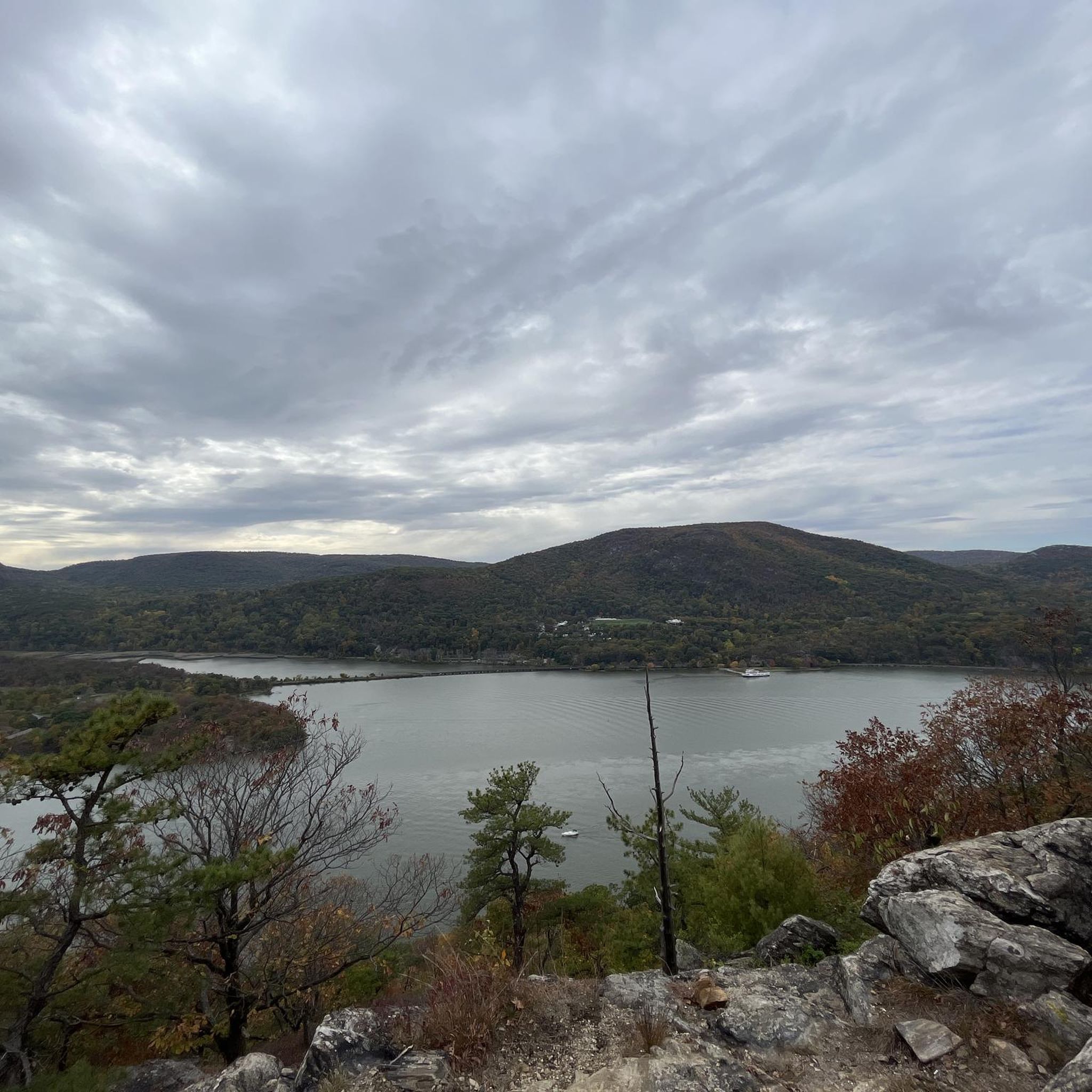
The road makes a loop around the summit of Bear Mountain with the Perkins Memorial Tower at its center. From the top you get sweeping views south across the Hudson, Harriman State Park, and the route taken by the Appalachian Trail.
0
0

Quiet and not busy for cyclists compared to Tapan Zee or GWB.
0
0
The unobstructed 360 views are worth the extra 70 feet up the tower when it's open
0
0

If the Perkins Memorial Tower is open to the public on the day of your visit be sure to climb up the tower to get a great view of both sides of the Hudson River and all the way down to New York City.
0
0
Frequently Asked Questions
How many road cycling routes are available around Montrose?
There are over 60 road cycling routes documented around Montrose on komoot, catering to various skill levels. You'll find everything from easy spins to challenging climbs.
What types of road cycling routes can I find in Montrose?
Montrose offers a diverse range of road cycling experiences. You can find routes through the Uncompahgre Valley, challenging ascents on the Uncompahgre Plateau, and scenic rides with views of the Black Canyon of the Gunnison National Park. Options include flat farm roads, moderate loops with short mesa climbs, and demanding routes with significant elevation gain.
Are there road cycling routes suitable for beginners or families in Montrose?
Yes, Montrose has options for easier rides. The Montrose River Walk Trail offers a paved, leisurely cycling option along the Uncompahgre River. For a slightly longer, easy to moderate ride, consider the 'Town Loop' which traverses subdivisions and farm fields south of town. While specific family-friendly routes are not explicitly listed in the guide data, these options provide a gentler introduction to cycling in the area.
What is the best time of year for road cycling in Montrose?
Montrose is a basecamp for year-round outdoor adventures. Road cycling is generally excellent during spring, summer, and fall. Even in winter, parts of the Black Canyon of the Gunnison National Park's South Rim Drive become accessible for cyclists when unplowed, offering a unique scenic experience.
Are there any challenging road cycling routes for experienced riders?
Absolutely. Montrose is known for its challenging climbs. The ride from Black Canyon to Warner Point is a demanding 40-mile route with 3500 feet of elevation gain, including a tough six-mile climb to the Black Canyon National Park entrance. For an extreme challenge, the three-mile climb out of the East Portal of the Gunnison averages a steep 16% grade. Another difficult option is the Bear Mountain Double Loop, a 43.3-mile route with significant elevation.
Can I find long-distance road cycling routes in the Montrose area?
Yes, Montrose offers several options for longer rides. The 'Pea Green / Delta' route provides 50+ mile options on flat to rolling farm fields with excellent views of the Grand Mesa. For a truly extensive ride, the Harriman Madness Loop is a difficult 73.8-mile path featuring extensive climbing and panoramic views.
What scenic viewpoints or landmarks can I expect to see along the road cycling routes?
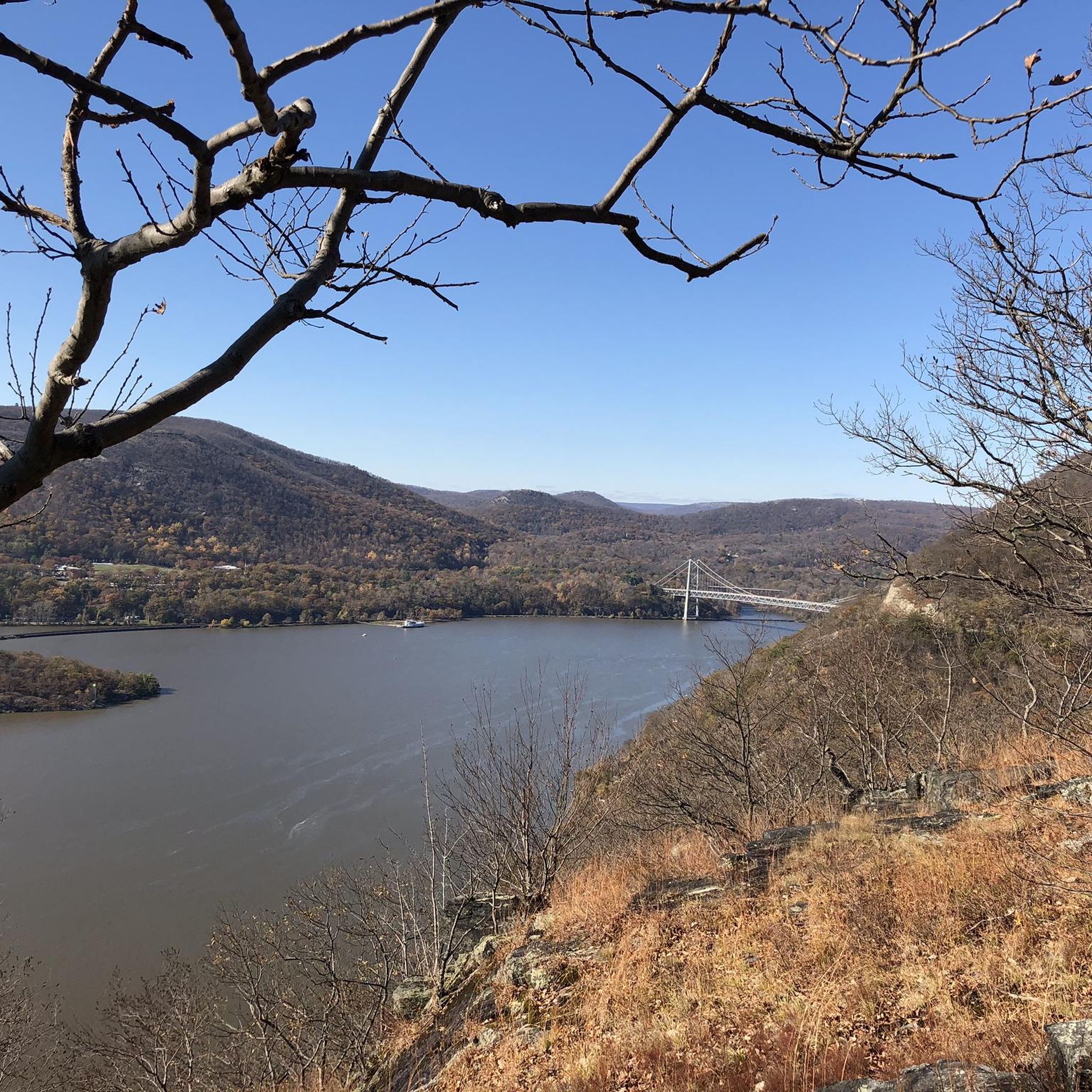
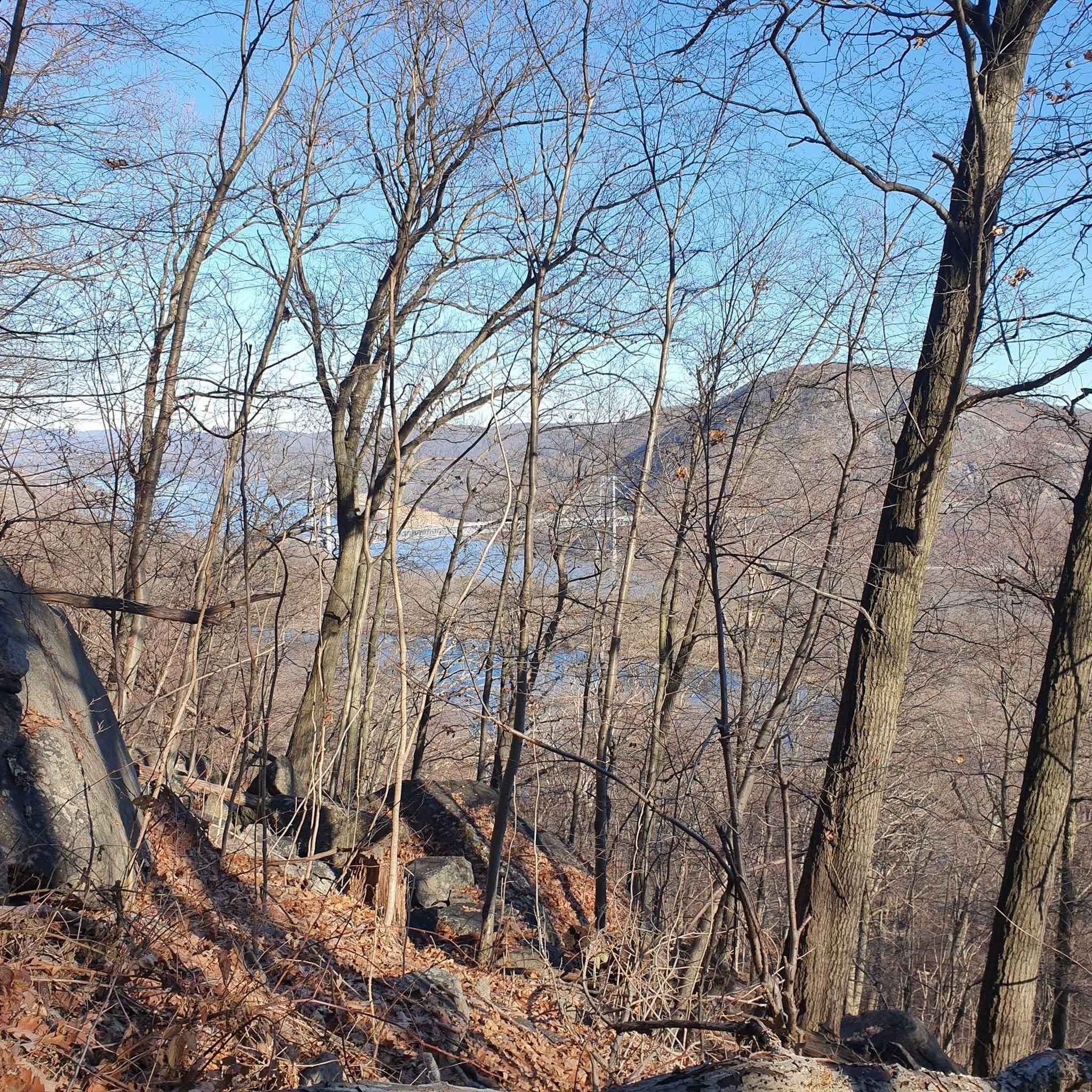
Many routes offer breathtaking views. You can expect dramatic vistas into the deep Black Canyon of the Gunnison National Park, especially on routes leading towards it. The San Juan Mountains provide a majestic backdrop, and the Grand Mesa offers expansive views from the world's largest flattop mountain. Some routes also pass by the View of the Hudson River from Bear Mountain or the Bear Mountain Bridge.
Are there circular road cycling routes available in Montrose?
Yes, many of the popular road cycling routes around Montrose are designed as loops. Examples include 'The Town Loop' for an easy to moderate ride, and the 'High Mesa Loop' which tours through rural farm fields with short mesa climbs. The View of Storm King Mountain – Bear Mountain Bridge loop from Peekskill is another scenic circular option.
What do other cyclists say about road cycling in Montrose?
The road cycling routes in Montrose are highly rated by the komoot community, with an average score of 3.9 stars from over 13 reviews. Cyclists often praise the diverse terrain, from valley roads to challenging mesa climbs, and the stunning views of deep gorges and mountain backdrops.
Are there any specific regulations or permits needed for road cycling in Montrose?
Generally, no specific permits are required for road cycling on public roads and designated trails around Montrose. However, if you plan to cycle within Black Canyon of the Gunnison National Park, it's always advisable to check the National Park Service website for any specific regulations or entrance fees that may apply. For general outdoor activity information in Montrose, you can visit visitmontrose.com.
Can I find places to eat or stay near the road cycling routes in Montrose?
Montrose serves as a hub for outdoor activities, so you'll find various amenities within and around the town. The city offers a range of cafes, pubs, and accommodation options. While specific establishments directly on every route are not detailed, the town itself is well-equipped to support cyclists with dining and lodging choices. For more information on local amenities, you can explore the Montrose visitor resources.
Are there any paved trails suitable for road bikes in Montrose?
Yes, the Montrose River Walk Trail is a notable paved path that follows the Uncompahgre River, offering a smooth surface ideal for road bikes and a pleasant, scenic ride. This trail is a great option for those looking for a relaxed cycling experience away from vehicle traffic.
Most popular attractions around Montrose

Get inspired with the komoot mobile app


Explore more
Browse the best Road cycling routes in other regions.
