The best road cycling routes around Elbingerode
4.6
(486)
3,808
riders
196
rides
Road cycling routes around Elbingerode traverse a diverse landscape at the transition from the Lower Harz plateau to the more mountainous Upper Harz. The region features a distinct low mountain climate with elevations between 450 and 480 meters above sea level. Cyclists encounter varied terrain including valleys, mountains, meadows, and forests, with both gradual inclines and more challenging climbs. This area is characterized by an extensive network of paved paths and roads suitable for road cycling.
Best road cycling routes…
Last updated: May 15, 2026
4.9
(17)
265
riders
Moderate road ride. Good fitness required. Some segments of this route may be unpaved and difficult to ride.
4.8
(37)
232
riders
Moderate road ride. Good fitness required. Mostly well-paved surfaces and easy to ride.

Sign up for free
5.0
(6)
38
riders
55.5km
02:36
430m
430m
Moderate road ride. Good fitness required. Mostly well-paved surfaces and easy to ride.
5.0
(8)
41
riders
Moderate road ride. Good fitness required. Mostly well-paved surfaces and easy to ride.
4.9
(24)
37
riders
28.5km
01:15
190m
190m
Easy road ride. Great for any fitness level. Mostly well-paved surfaces and easy to ride.
Get access to more routes and recommendations from other explorers.
Sign up for free
Already have an account?
Our route recommendations are based on thousands of hikes, rides, and runs completed by other people on komoot.
Start today with a free account
Your next adventure awaits.
Login or Signup
Tips from the Community


The Bleicherode–Herzberg railway line was a 41 km long, single-track, non-electrified branch line that served the eastern Eichsfeld and the Ohm Mountains. It connected the Halle–Hann. Münden railway line near Bleicherode with the South Harz line in Herzberg am Harz. It was mainly used for freight transport from several former potash mines, most recently in Bischofferode, and to a former lignite power plant in Rhumspringe. On the Lower Saxony side, the line has been almost completely converted into a cycle path. However, a section is missing in Rhumspringe, as two bridges were demolished beforehand, and the section between the Hilkerode halt and Zwinge station was also not converted due to a parallel field path. Source: https://de.wikipedia.org/wiki/Bahnstrecke_Bleicherode%E2%80%93Herzberg
1
0

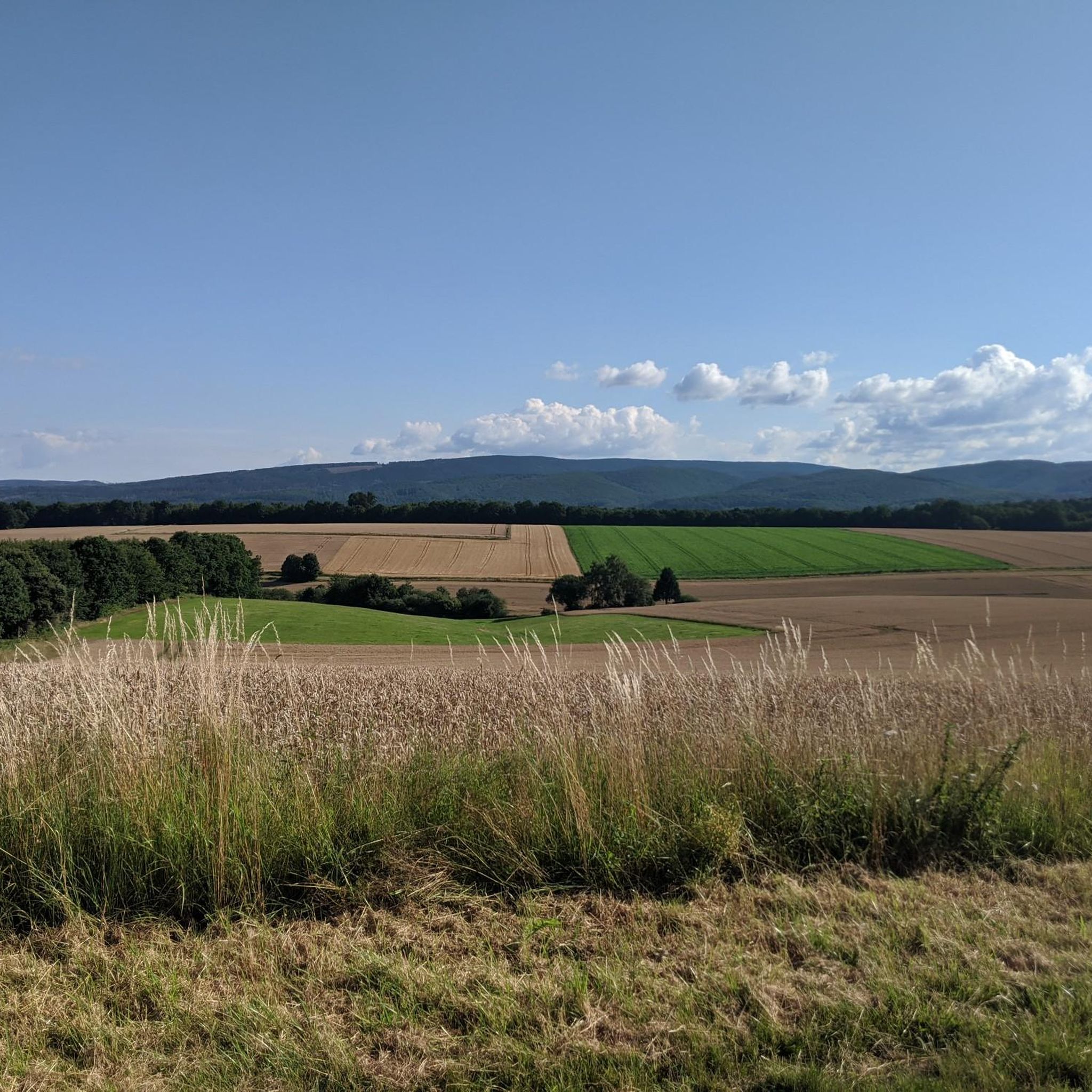
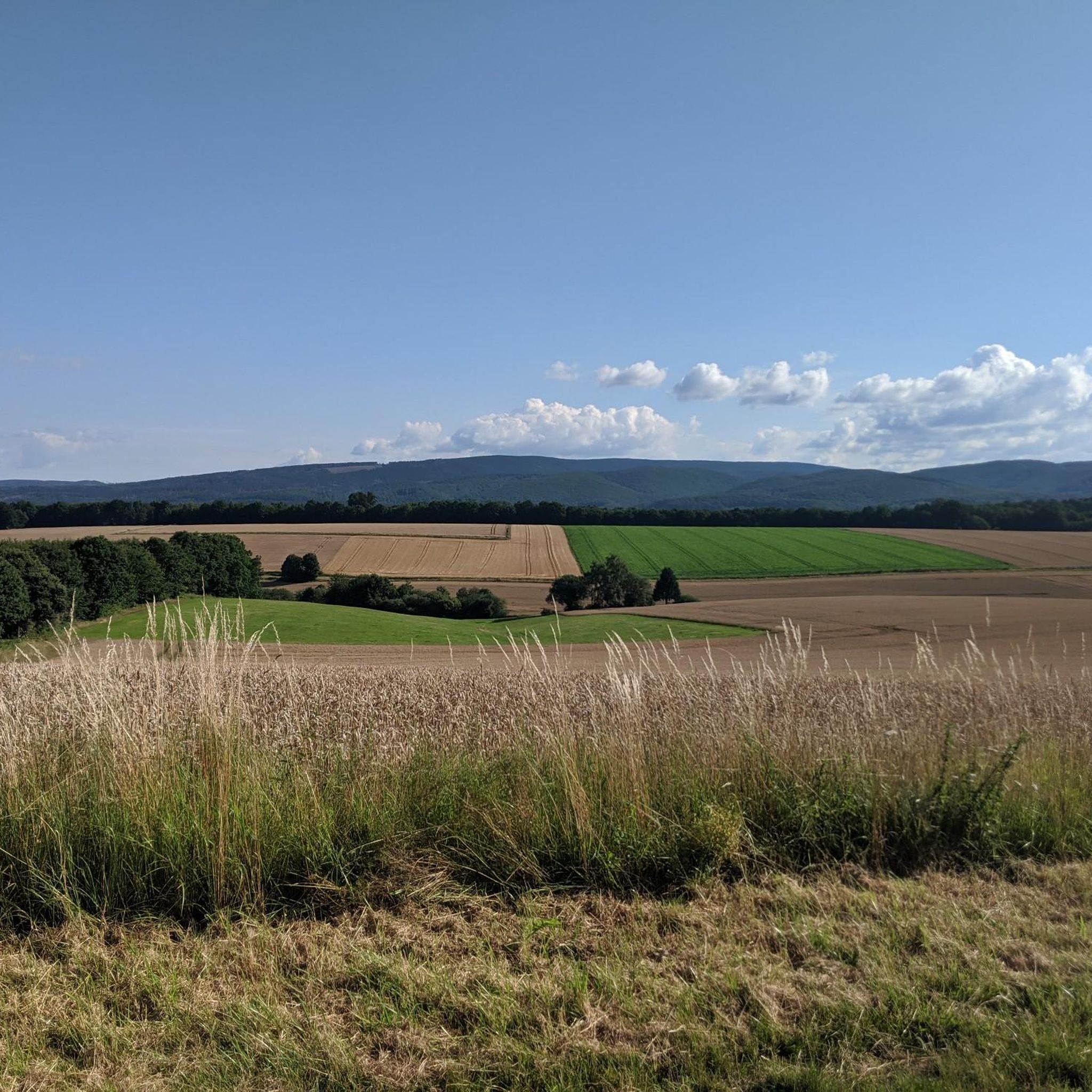
Smoothly paved by autumn 2025 – after decades of potholed and rough surfaces, it's finally a pleasure to cycle on this quiet side road. The southern section is called Eiskeller (Ice Cellar) because it's always a bit colder there – and a bit more icy in winter.
2
0

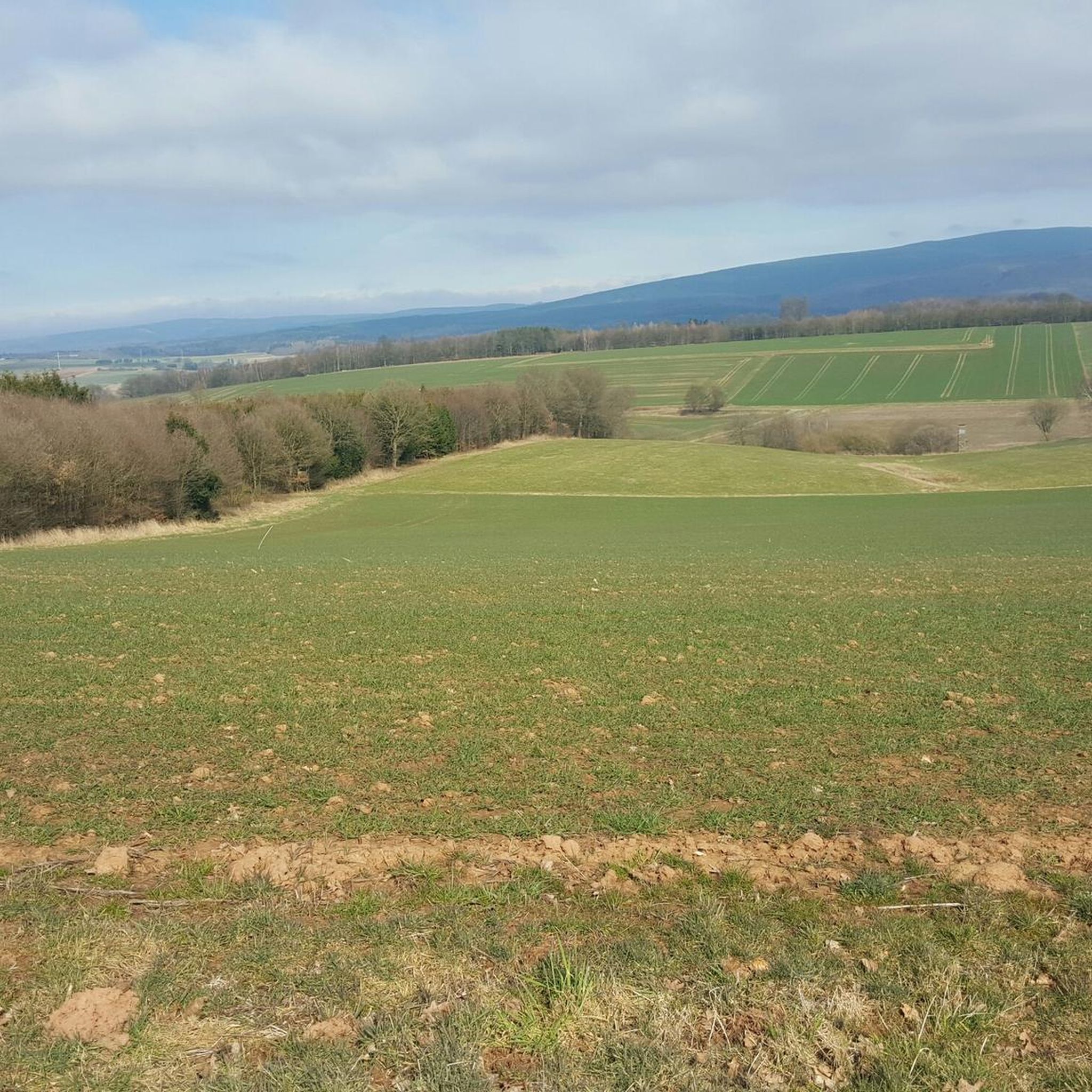
Beautiful route
0
0
Beautiful street
0
0

The descent is fun, the road has been resurfaced in places and is very easy to ride.
0
0
It was pretty quiet here this weekend, and the climb is quite steep. The surface is very good.
1
0

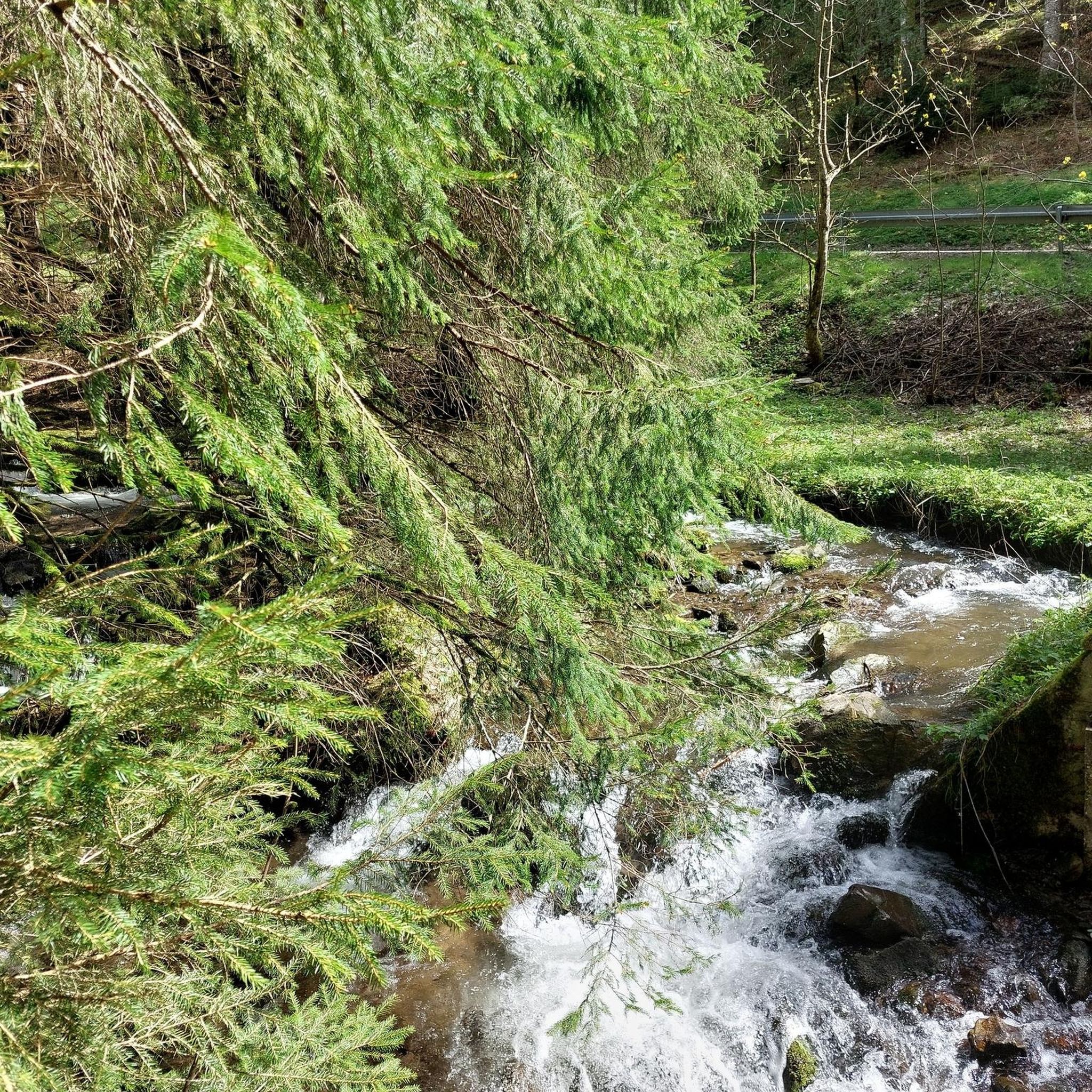
The Oder Dam dams the Oder, a tributary of the Rhume. The reservoir is used extensively for water sports such as fishing, sailing and surfing, and there are beautiful hiking trails around it. It is not used to produce drinking water, but solely for flood protection, low water levels and environmentally friendly energy production. The Oder Dam hydroelectric power station, completed in 1933, was last extensively modernized in 2015 and supplies around 1,500 households with green electricity. https://www.badlauterberg.de/poi/odertalsperre
3
0
Frequently Asked Questions
How many road cycling routes are available around Elbingerode?
There are over 200 road cycling routes in the Elbingerode area, offering a wide range of options for different preferences and fitness levels. These include 55 easy routes, 121 moderate routes, and 29 more challenging routes.
What kind of terrain can I expect when road cycling in Elbingerode?
Road cycling around Elbingerode offers a diverse landscape at the transition from the Lower Harz plateau to the more mountainous Upper Harz. You'll encounter varied terrain including valleys, mountains, meadows, and forests, with both gradual inclines and more challenging climbs. The region has a distinct low mountain climate and elevations between 450 and 480 meters above sea level.
What do other cyclists say about road cycling in Elbingerode?
The road cycling routes in Elbingerode are highly rated by the komoot community, with an average score of 4.6 stars from over 485 reviews. Cyclists often praise the varied terrain, the extensive network of paved paths, and the scenic beauty of the Harz region.
Are there family-friendly road cycling routes in Elbingerode?
Yes, the Elbingerode area features several paved bike paths suitable for families. For example, an improved road-adjacent bike path connects Elbingerode to Rübeland, offering an easy, 4.4 km ride with gentle descents. Other paved routes, such as the cycle path between Trautenstein and Hasselfelde, are also highlighted as suitable for families.
Can I find routes with good viewpoints or scenic spots?
Absolutely. Many road cycling routes around Elbingerode offer rewarding panoramic views, such as those of the southern Harz foothills and the Thuringian mountains from locations like the Scharzfels Castle Ruins. The region is also known for numerous 'photo hotspots' that provide picturesque backdrops for your rides. You can also find viewpoints like the Großer Knollen lookout tower or Knollenturm and Knollenbaude on the Großer Knollen nearby.
Are there any natural attractions or landmarks I can visit along road cycling routes?
Yes, the region is rich in natural and historical attractions. You can cycle to the cave town of Rübeland to explore its dripstone caves, or visit the Lonau Waterfall. Other notable sites include the Söse Waterfalls and Dam, the Büchenberg Exhibition Mine for insight into mining history, or the unique Scharzfels Castle Ruins.
What is the best time of year for road cycling in Elbingerode?
Elbingerode, with its distinct low mountain climate, is generally pleasant for road cycling from spring through autumn. The warmer months offer the best conditions to enjoy the varied terrain and scenic views. Winter cycling might be challenging due to snow and ice, especially in higher elevations.
Are there options for longer road cycling tours in the region?
Yes, for longer tours, consider options like the Upper Harz Circular Bike Route (OHR), which is approximately 32 kilometers and connects several Upper Harz towns. Routes like Odertalsperre – Juessee Lake, Herzberg am Harz loop from Herzberg (Harz) Schloß (64.8 km) or Juessee Lake, Herzberg am Harz – Bockelnhagen Village Church loop from Herzberg (Harz) Schloß (67.6 km) also provide substantial distances for experienced cyclists.
What are the road surface conditions like for cycling in Elbingerode?
The Elbingerode area benefits from an extensive network of well-signposted cycle routes, including many paved paths and roads suitable for road cycling. While some routes may include sections of quieter country roads, the focus is on surfaces conducive to road bikes.
Are there any specific routes designed for e-bikes?
Yes, the region has introduced newer routes specifically designed for e-bikers, known as the 'Harzer E-Bike-Genussrouten'. These routes range from 24 to 65 kilometers and are curated to allow riders to enjoy the region's sights, including farm shops and special restaurants, at a leisurely pace.
Where can I find places to rest or eat along the routes?
Elbingerode and the surrounding towns offer various cafes, pubs, and restaurants where you can take a break and refuel. The 'Harzer E-Bike-Genussrouten' specifically highlight farm shops and special restaurants along their paths. Additionally, the Knollenturm and Knollenbaude on the Großer Knollen is a known resting place.
Are there circular road cycling routes in the Elbingerode area?
Many of the road cycling routes in the Elbingerode region are designed as loops, allowing you to start and end at the same point. Examples include Herzberg Castle – Juessee Lake, Herzberg am Harz loop from Herzberg (Harz) Schloß and Rhume River – Steina–Tettenborn Cycle Path loop from Herzberg (Harz) Schloß. The Upper Harz Circular Bike Route is also a notable longer loop option.
Most popular routes around Elbingerode
Most popular attractions around Elbingerode

Get inspired with the komoot mobile app


Explore more
Browse the best Road cycling routes in other regions.
