The best road cycling routes around Brentwood
4.8
(4)
323
riders
41
rides
Road cycling around Brentwood offers diverse landscapes, from scenic rolling hills to well-paved surfaces and dedicated bike lanes. The area, situated in the eastern San Francisco Bay Area, features a blend of agricultural charm and natural attractions. Cyclists can find routes that traverse valleys, offering varied terrain suitable for different fitness levels. The region's commitment to cycling infrastructure includes miles of bike lanes and Class 1 Bicycle Trails.
Best road cycling routes around Brentwood
- The most popular road cycling route…
Last updated: May 18, 2026
4
riders
79.6km
03:06
200m
200m
Moderate road ride. Good fitness required. Mostly well-paved surfaces and easy to ride.
5.0
(1)
19
riders
48.3km
02:14
80m
80m
Moderate road ride. Good fitness required. Some segments of this route may be unpaved and difficult to ride.

Sign up for free
17
riders
Moderate road ride. Good fitness required. Mostly well-paved surfaces and easy to ride.
11
riders
66.2km
02:50
100m
100m
Moderate road ride. Good fitness required. Some segments of this route may be unpaved and difficult to ride.
7
riders
63.1km
02:44
400m
400m
Moderate road ride. Good fitness required. Mostly well-paved surfaces and easy to ride.
Get access to more routes and recommendations from other explorers.
Sign up for free
Already have an account?
Our route recommendations are based on thousands of hikes, rides, and runs completed by other people on komoot.
Start today with a free account
Your next adventure awaits.
Login or Signup


Tips from the Community

This is a historical little cemetery, with graves dating back to the early 1800s. If it looks a little overgrown and unkempt it's because the locals decided to leave it that way after a streak of vandalism in the 1980s, hoping that if it didn't attract notice it wouldn't attract vandals, either.
0
0
This beach is open from Memorial Day to Labor Day, but only to Town of Babylon residents. You need a yearly Town of Babylon recreation permit in order to get in.
0
0

Spanning 1,600 acres on Long Island's south shore, Heckscher State Park is an outdoor haven. Shady picnic groves host family gatherings, while open fields beckon sports enthusiasts for soccer, cricket, and lacrosse. Nature lovers explore 4 miles of trails, spotting deer and birds against the backdrop of the Great South Bay and Fire Island. The bay lures visitors for swimming, boating, and water sports. Newly built waterfront cottages offer cozy accommodations with spectacular views, complete with living areas, kitchens, and screened porches.
0
0

Connetquot River State Park Preserve is a 3,473-acre refuge of sandy pine barrens, wetlands, ponds, and woodlands. Visitors can find over 200 bird species and 300 plant species, along with other mammals, reptiles, amphibians, butterflies, and moths that once lived all over Long Island. This area was created as New York's first "State Park Preserve," and remains a protected area open to the public today.
0
0

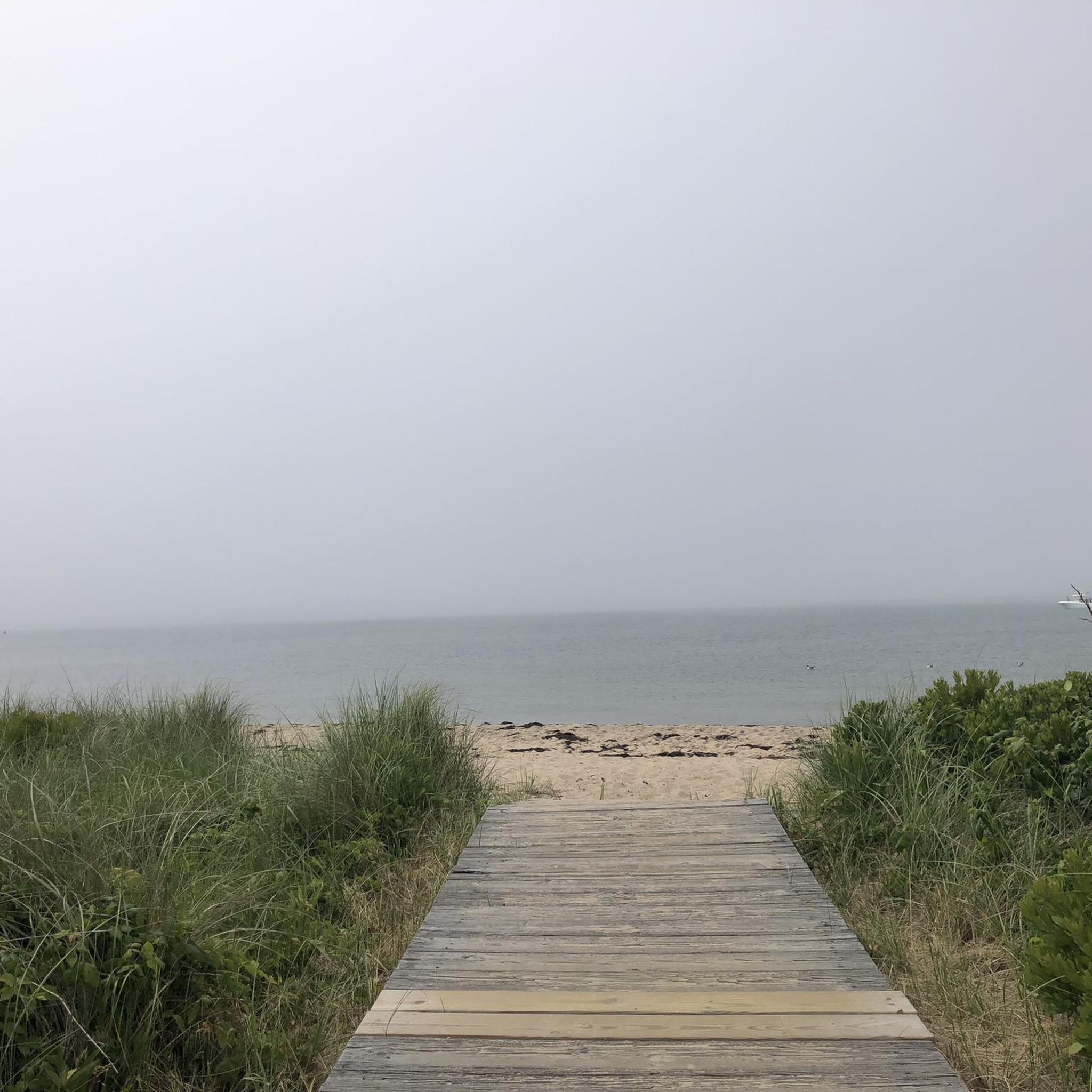
This sandy beach is a perfect spot to take a break off of the bike and enjoy the views. If the weather and sea state are good you could go for a cool off on a summers day.
0
0
Cyclists are drawn to the enchanting allure of Asharoken Beach, NY. This scenic coastal retreat offers a serene escape with its soft sands, rhythmic waves, and panoramic views. Cyclists find respite in the tranquil atmosphere, where the combination of natural beauty and peaceful surroundings makes it an idyllic stop along their journey.
1
0

This nearly 3,500-acre refuge of sandy pine barrens, wetlands, ponds and woodlands is nestled in central Long Island along the pristine, spring-fed Connetquot River. A wilderness surrounded by suburbs, the preserve provides excellent opportunities to see more than 200 bird and 300 plant species, as well as several mammal, reptile, amphibian, butterfly and moth species that once flourished throughout Long Island.
0
0
Great view of the harbor as you peer across to Centerport. There is a small pier and beach that you can sit on and listen to the waves or watch the boats pass.
0
0
Frequently Asked Questions
How many road cycling routes are available around Brentwood?
Brentwood offers a wide selection of road cycling routes, with over 40 routes available for exploration. These routes cater to various skill levels, from easy rides to more challenging excursions.
What kind of terrain can I expect on road cycling routes in Brentwood?
Road cycling in Brentwood features diverse landscapes, including scenic rolling hills, well-paved surfaces, and dedicated bike lanes. You'll find routes that traverse valleys and agricultural areas, offering varied terrain suitable for different fitness levels. The region is known for its blend of agricultural charm and natural attractions.
Are there routes suitable for beginners or those looking for an easy ride?
Yes, Brentwood has routes suitable for beginners. There are 12 easy road cycling routes available. For example, the region offers easy loops with minimal elevation gain, providing a pleasant experience for those new to road cycling or looking for a relaxed ride.
What do other cyclists say about road cycling in Brentwood?
The road cycling routes in Brentwood are highly rated by the komoot community, with an average score of 4.7 stars from over 3 reviews. More than 240 road cyclists have used komoot to explore the area's varied terrain, often praising the scenic rolling hills and well-maintained paths.
Are there any long-distance road cycling routes in the Brentwood area?
Yes, for cyclists looking for longer distances, routes like the South Country Road Loop cover approximately 49.4 miles (79.6 km). This route features scenic rolling hills and is a popular choice for those seeking a more extended ride.
Can I find flat road cycling routes around Brentwood?
While Brentwood is known for its rolling hills, you can find routes with minimal elevation gain, making them relatively flat. The region's dedicated bike lanes and Class 1 Bicycle Trails often provide smoother, less challenging sections suitable for those preferring flatter terrain.
Are there any challenging road cycling routes for experienced cyclists?
Yes, for experienced cyclists seeking a challenge, Brentwood offers routes with significant elevation changes through scenic hills. While there are no routes explicitly graded as 'difficult' in our data, many of the 30 moderate routes, especially those traversing rolling hills, can provide a good workout.
Are there loop trails for road cycling in Brentwood?
Many road cycling routes in Brentwood are designed as loops, offering convenient starting and ending points. Examples include the South Country Road Loop and the Overlook Beach – Heckscher State Park loop from Brentwood, allowing you to return to your starting point without retracing your path.
What scenic viewpoints or natural features can I expect to see while road cycling in Brentwood?
Brentwood's road cycling routes offer breathtaking views of rolling hills, valleys, and agricultural landscapes. You might encounter natural features like the View of the waterfall at the Belmont Lake outlet or explore areas near Heckscher State Park Beach. The region's proximity to the Sacramento-San Joaquin River Delta also provides unique scenic drives.
Are there any routes that pass by lakes or water bodies?
Yes, some routes offer views of lakes and water bodies. For instance, the Overlook Beach – Heckscher State Park loop from Brentwood provides coastal views. You can also find highlights like Southards Pond and Argyle Lake in the vicinity, which may be accessible from certain routes.
Can I explore the agricultural areas of Brentwood by road bike?
Absolutely. Brentwood is known as the 'U-Pick Capital of the World' due to its numerous farms. Many road cycling routes traverse these agricultural landscapes, offering a unique experience where you can enjoy the rural charm and potentially stop at local farms for fresh produce.
What is the best time of year to go road cycling in Brentwood?
Brentwood generally offers favorable conditions for road cycling throughout much of the year. Spring and fall are often ideal, with pleasant temperatures and beautiful scenery, including wildflower blooms in the spring. Summer can be warm, but early morning rides are usually comfortable. Winter rides are also possible, though cooler.
Is there dedicated cycling infrastructure in Brentwood?
Yes, Brentwood is committed to supporting cycling with extensive infrastructure. The city boasts 63 miles of bike lanes and 19 miles of Class 1 Bicycle Trails. Newport Drive is particularly notable for offering a dedicated bike lane along an otherwise shoulderless road, enhancing safety for riders.
Are there family-friendly road cycling options in Brentwood?
Given the network of dedicated bike lanes and Class 1 Bicycle Trails, along with easy loops that feature minimal elevation gain, Brentwood offers several family-friendly road cycling options. These routes provide a safer and more enjoyable experience for families cycling together.
Most popular routes around Brentwood
Most popular attractions around Brentwood

Get inspired with the komoot mobile app


Explore more
Browse the best Road cycling routes in other regions.
