The 8 Most Amazing Peaks around Reichenbach
Mountain peaks around Reichenbach, located at the foot of the Ore Mountains in Germany, are characterized by picturesque hilly landscapes and varied topography. This region offers numerous elevated viewpoints and natural features suitable for hiking and outdoor activities. The area is known for its scenic vistas over valleys and historical sites. It provides opportunities to explore both natural rock formations and man-made monuments at elevated positions.
Best mountain peaks around Reichenbach
- The most popular mountain peaks is Köhlerspitze Viewpoint (345…
Last updated: October 4, 2026
Sophienkreuz (White Cross) on Hirschstein
Highlight • Monument
Translated by Google •
Tip by

Köhlerspitze Viewpoint (345 m)
Highlight • Viewpoint
Translated by Google •
Tip by

Sign up now to discover places like this
Get recommendations on the best single tracks, peaks, & plenty of other exciting outdoor places.
Greiz Station
Highlight • Rest Area
Translated by Google •
Tip by

Wilhelmshöhe Triangulation Station (1876)
Highlight • Monument
"The Royal Saxon Triangulation (here with its historical proper name) is a land survey carried out between 1862 and …
Showing Translation
Tip by

Köhlerspitze
Highlight • Summit
It is at the highest point of the Köhlersteig.
Translated by Google •
Tip by

Sign up for free to discover even more peaks around Reichenbach.
Already have an account?
Start today with a free account
Your next adventure awaits.
Tips from the Community

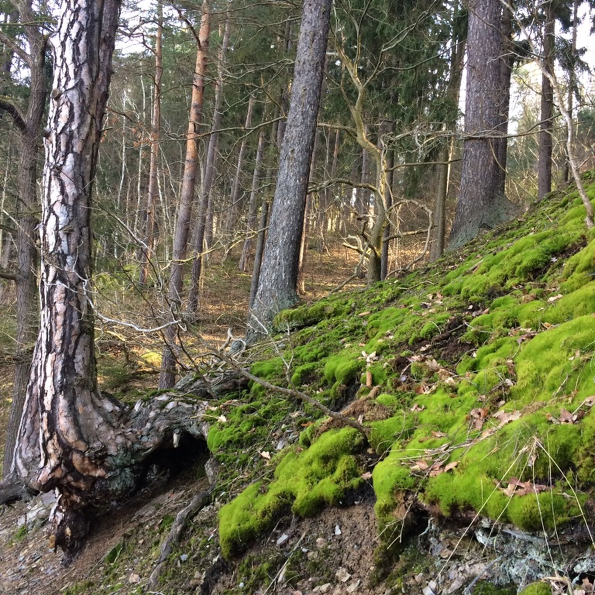
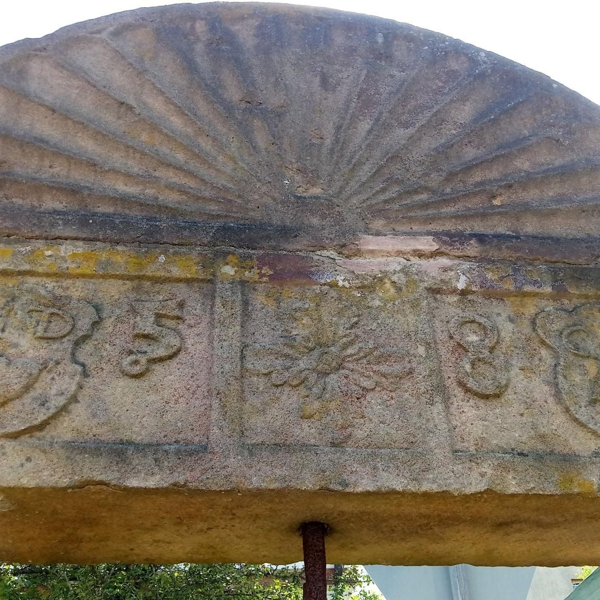
The pillar marks station 143 Wilhelmshöhe of the Royal Saxon Triangulation. "The Royal Saxon Triangulation (here with its historical proper name) is a land survey carried out between 1862 and 1890 in the territory of the Kingdom of Saxony, simultaneously creating a trigonometric network. The goal was to scientifically and geodetically accurately record the state territory and to create the basis for the production of accurate map series by establishing permanently marked control points. The Großenhainer Grundlinie was determined as the scale-defining base." - https://de.wikipedia.org/wiki/K%C3%B6niglich-S%C3%A4chsische_Triangulirung From the station, the neighboring stations Carlshöhe, Marienhöhe, Schönheide, Wenzelstein, Kemmlerberg, and Kuhberg were sighted. Unfortunately, not much can be seen of it anymore, even from the tower.
1
0

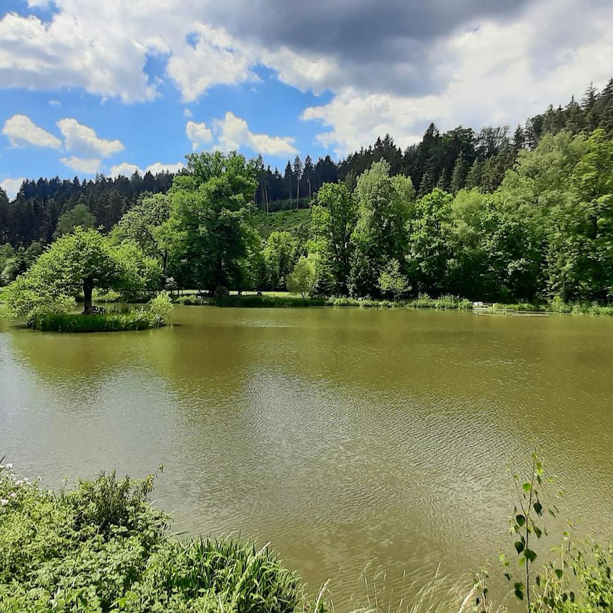
Great viewpoint overlooking the castle, directly on the Elsterperlenweg trail.
3
1

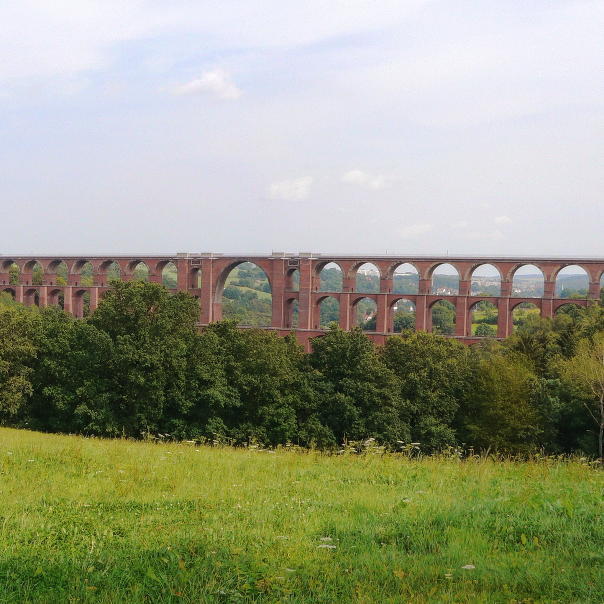
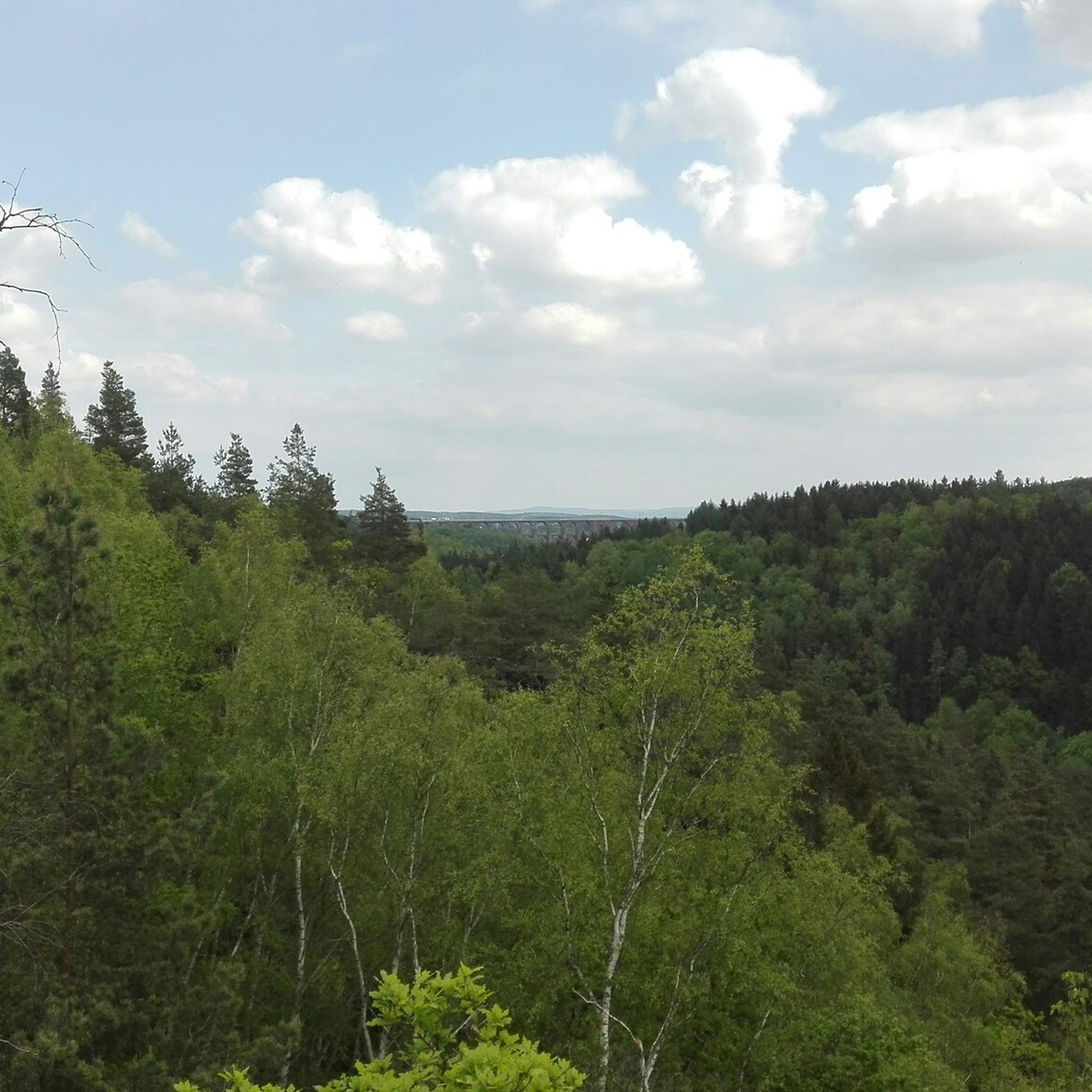
The Köhlerspitze offers a wonderful view over the Göltzschtal, even as far as the world-famous bridge. On the Große Köhlerspitze there are long climbing tours, especially on the valley side, secured with bolts and of moderate difficulty. The rock is not always completely solid, but the climbing is still an experience due to the exposure, location and height.
1
0

Greiz train station is located in the Thuringian town of the same name, Greiz, as well as on the Gera Süd–Weischlitz railway line, which is still in operation today, and on the branching off railway line to Neumark, which has been closed since 1999. This meant that the station was a railway junction of local importance until the branch line was closed. Although a route through the Elstertal was first considered in the 1830s, Greiz only received a railway connection in 1865 with the Neumark – Greiz railway line run by the private Greiz-Brunner Railway Company. However, this route ended at the Elstertal and was far outside the city center. Therefore, people still wanted a more direct rail connection in the 1860s. The Saxon-Thuringian Railway Company therefore received the concession for the Wolfsgefärth–Weischlitz railway line in 1872.
3
0

Surefootedness is required here
9
1
beautiful views of the Göltzschtal
9
1

Magnificent view. A place to linger.
2
0
Great viewing point 😎
17
0
Frequently Asked Questions
What are the most popular mountain peaks and viewpoints around Reichenbach?
Visitors frequently enjoy the Köhlerspitze Viewpoint (345 m), which offers stunning views of the Göltzschtal. Another highly rated spot is the Sophienkreuz (White Cross) on Hirschstein, a historical monument with panoramic views towards Greiz. The Teufelskanzel rock formation is also very popular for its spectacular natural features and views of Greiz and the White Cross.
Are there any historical sites or monuments among the peaks in Reichenbach?
Yes, the Sophienkreuz (White Cross) on Hirschstein is a significant historical monument, built in 1838 in memory of Princess Sophie. Additionally, the View of the Upper Castle from Idahöhe provides a historical perspective, offering a clear view of the Greizer Castle.
What kind of natural features can I expect to see on the mountain peaks around Reichenbach?
The region is characterized by picturesque hilly landscapes and varied topography. You can find natural rock formations like the spectacular Teufelskanzel, and numerous elevated viewpoints such as the Köhlerspitze Viewpoint, offering vistas over valleys like the Göltzschtal.
Are there family-friendly options for exploring the peaks?
Yes, the View of the Upper Castle from Idahöhe is noted as family-friendly, providing a rewarding view of Greiz Castle after a manageable ascent.
What outdoor activities can I do near these mountain peaks?
The Reichenbach area, at the foot of the Ore Mountains, offers numerous hiking and cycling routes. You can explore various trails for gravel biking, mountain biking, and road cycling. For detailed routes, check out the Gravel biking around Reichenbach, MTB Trails around Reichenbach, and Road Cycling Routes around Reichenbach guides.
Are there challenging trails for experienced hikers?
Yes, some viewpoints, like the Köhlerspitze Viewpoint, require sure-footedness, especially when accessed from the Köhlersteig. The Sophienkreuz (White Cross) on Hirschstein is also categorized as challenging, offering a rewarding climb.
What do visitors enjoy most about the mountain peaks around Reichenbach?
Visitors particularly appreciate the magnificent views, such as those from the Köhlerspitze Viewpoint over the Göltzschtal. The unique rock formations like the Teufelskanzel and the historical significance of sites like the Sophienkreuz also receive high praise.
How can I access the mountain peaks and viewpoints using public transport?
While specific peak access varies, the town of Greiz, near many of these highlights, has a train station, Greiz Station. It serves as the terminus for a regional express line and is connected by the Vogtlandbahn, providing a starting point for exploring the surrounding areas.
Are there any specific tips for visiting the Köhlerspitze Viewpoint?
The Köhlerspitze Viewpoint is a worthwhile vantage point, especially for its beautiful views of the Göltzschtal. When approaching from the Köhlersteig, it is important to be sure-footed due to the challenging terrain.
What is the Teufelskanzel rock formation known for?
The Teufelskanzel rock formation is a spectacular natural monument at 370 meters. It offers great views of Greiz and the White Cross, and is also recognized as a beautiful climbing rock.
Can I find views of castles or other man-made structures from the peaks?
Yes, from the Idahöhe, you can enjoy a clear view of the Greizer Castle. The Sophienkreuz (White Cross) itself is a man-made monument offering views towards Greiz.
Most popular routes around Reichenbach
Most popular attractions around Reichenbach

Get inspired with the komoot mobile app


Explore more
See even more amazing summits around Reichenbach with these guides:
