The best walks and hikes around Port Chester
4.8
(8)
212
hikers
25
hikes
Hiking around Port Chester, New York, offers diverse natural landscapes, from coastal salt marshes along the Long Island Sound to dense woodlands and serene lake environments. The region provides a variety of habitats, making it suitable for different hiking experiences. Trails often feature well-maintained paths through parks and natural sanctuaries, with minimal elevation changes.
Best hiking trails around Port Chester
- The most popular hiking route is Tod's Driftway loop — Greenwich Point Park, a 2.3 miles (3.7 km) trail…
Last updated: September 28, 2026
4.0
(1)
17
hikers
6.31km
01:43
100m
70m
The White Trail offers a pleasant, easy hike, perfect for a quick escape into nature. You'll cover 3.9 miles (6.3 km) with a modest 337 feet (103 metres) of elevation…
5.0
(1)
13
hikers
3.33km
00:53
30m
30m
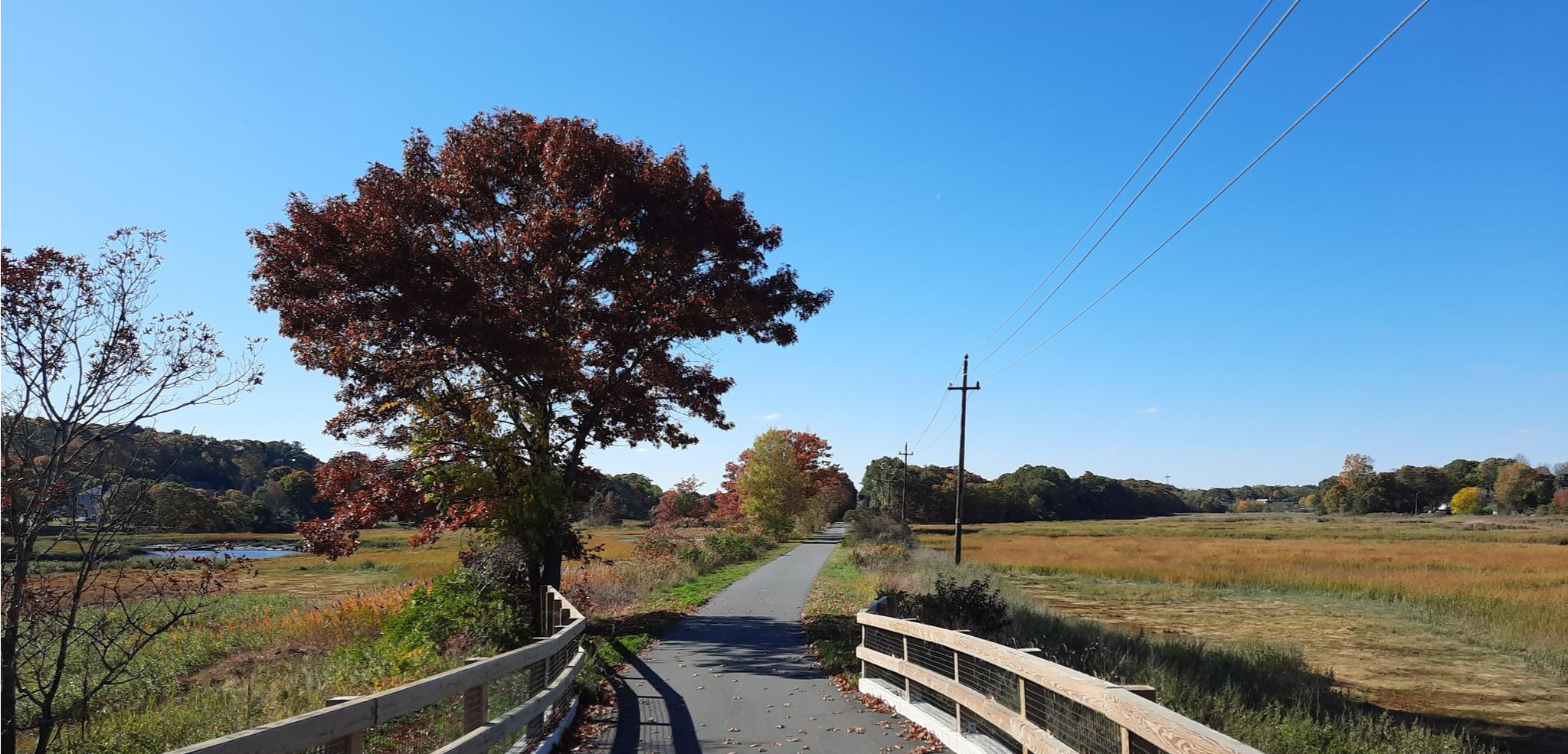
Embark on the Marshlands Conservancy Loop, an easy hike spanning 2.1 miles (3.3 km) with a gentle elevation gain of 90 feet (27 metres), typically completed in about 52 minutes.…

1
hikers
2.18km
00:34
10m
10m
Hike the easy 1.4-mile Bruce Park Loop in Greenwich, CT, offering pleasant views of Smith Cove, fields, ponds, and waterways.
2.23km
00:36
20m
40m
The Silver Lake Preserve White Trail offers a delightful, varied experience, winding through woodlands and open fields. You'll traverse diverse terrain, from sections with uneven stone steps and rugged rock…
5.0
(1)
63
hikers
3.71km
00:56
10m
10m
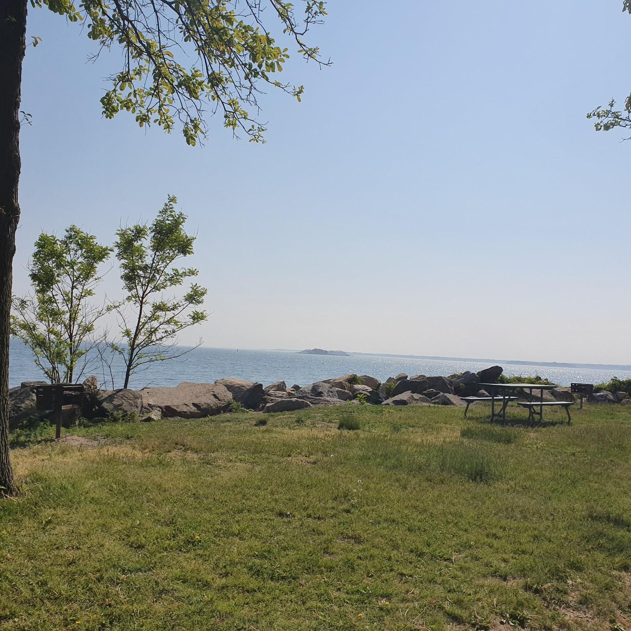
Hike the easy Greenwich Point Park Loop for scenic water views of Long Island Sound, sandy beaches, and historic landmarks.
Get access to more routes and recommendations from other explorers.
Already have an account?
Our route recommendations are based on thousands of hikes, rides, and runs completed by other people on komoot.
Start today with a free account
Your next adventure awaits.

Other adventures around Port Chester

Tips from the Community

Large open field between the estate and the harbor gives this short hike great variety
0
0
The Rye Marshlands loop is an easy hike with some beautiful view of the Marshlands, Milton Harbor, deer, and the fields by the Jay Estate. The views of the marshes are probably best on the causeway to the smaller island.
0
0

Park tickets are required at this point, which are limited and only available at the Old Greenwich Civic Center and not at the park entrance.
1
0
Very nice park at the tip of the headland. Nice swimming beach and beautiful nature. Admission by ticket only, a limited number of which can be purchased only at Old Greenwich Civic Center.
1
0
Frequently Asked Questions
How many hiking trails are available around Port Chester?
There are nearly 20 hiking routes around Port Chester, offering a variety of experiences. Most of these, 14 to be exact, are considered easy, with 5 moderate options for those seeking a bit more challenge. No difficult routes are listed, making the area accessible for many.
What kind of landscapes can I expect to see on hikes near Port Chester?
Hiking around Port Chester offers a diverse range of natural landscapes. You can explore coastal salt marshes along the Long Island Sound, dense woodlands, and serene lake environments. The region's varied habitats provide picturesque scenery and opportunities to observe local flora and fauna.
Are there any family-friendly hiking options in the Port Chester area?
Yes, many trails around Port Chester are suitable for families. For instance, the Edith G. Read Natural Park and Wildlife Sanctuary loop — Rye offers accessible loops through diverse nature. The Old Croton Aqueduct Trail, though not specifically listed as a komoot route here, is also known for its relatively flat and scenic path, ideal for all ages.
Are dogs allowed on the hiking trails near Port Chester?
Dog policies vary by park and preserve in the Port Chester area. For example, Greenwich Point Park, where the Tod's Driftway loop is located, typically has specific rules regarding dogs, often restricting them to certain seasons or areas. It's always best to check the specific park's regulations before visiting with your dog.
What are some notable natural attractions or landmarks to see while hiking?
The Port Chester area is rich with natural beauty. You can find highlights like the Kensico Reservoir, Cranberry Lake, and Playland Lake. Coastal areas like Greenwich Point Beach also offer scenic views and opportunities for exploration.
Are there any circular hiking routes available?
Yes, there are several circular routes. The Tod's Driftway loop — Greenwich Point Park is a popular 3.7 km easy loop. Another option is the Bruce Park loop — Greenwhich, which is 3.6 km and takes you through wooded areas.
What do other hikers say about the trails in Port Chester?
The trails in Port Chester are highly regarded by the komoot community, with an average rating of 4.8 stars from 7 reviews. Hikers often praise the well-maintained paths, diverse scenery, and the accessibility of the routes for various fitness levels.
Are there any trails with significant elevation changes or viewpoints?
While many trails in Port Chester are relatively flat, offering minimal elevation changes, some parks like Saxon Woods Park feature trails with gentle inclines. For more dramatic views and strenuous options, Bear Mountain State Park, though a bit further afield, offers extensive hiking trails with significant elevation gains and scenic vistas.
Can I access hiking trails near Port Chester using public transport?
Public transport access to specific trailheads can vary. While Port Chester itself is accessible by train, reaching some of the more secluded parks and preserves might require additional planning or local transport. It's advisable to check local bus routes or ride-sharing options for specific park entrances like Marshlands Conservancy or Edith G. Read Natural Park.
Where can I find parking for hiking trails in the area?
Most major parks and preserves around Port Chester, such as Greenwich Point Park, Edith G. Read Natural Park, Saxon Woods Park, and Marshlands Conservancy, offer dedicated parking facilities. Availability and potential fees can vary, so checking the specific park's website beforehand is recommended.
Are there any longer hiking routes for experienced hikers?
While most routes directly in Port Chester are easy to moderate, longer options exist. The Yellow Trail, Saxon Woods Park loop from Harrison is an easy 6.5 km route, and the Yellow Trail, Saxon Woods Park loop from Harrison High School is slightly longer at 6.6 km. For significantly longer and more challenging hikes, exploring sections of the Old Croton Aqueduct Trail or venturing to Bear Mountain State Park would be suitable.
What is the best time of year for hiking around Port Chester?
The Port Chester area offers enjoyable hiking throughout much of the year. Spring brings blooming flora, while autumn is particularly popular for its vibrant fall foliage in wooded areas like Saxon Woods Park. Summer is great for coastal walks, and even winter hiking can be beautiful, especially after a fresh snowfall, though some trails might require appropriate gear.
Most popular routes around Port Chester
Most popular attractions around Port Chester

Get inspired with the komoot mobile app


Explore more
Browse the best Hikes in other regions.
