The best walks and hikes around Woodbury
4.8
(202)
2,215
hikers
26
hikes
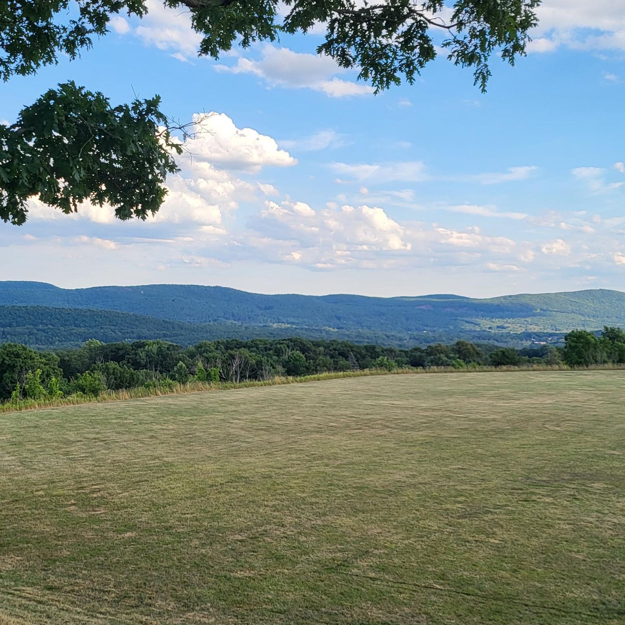
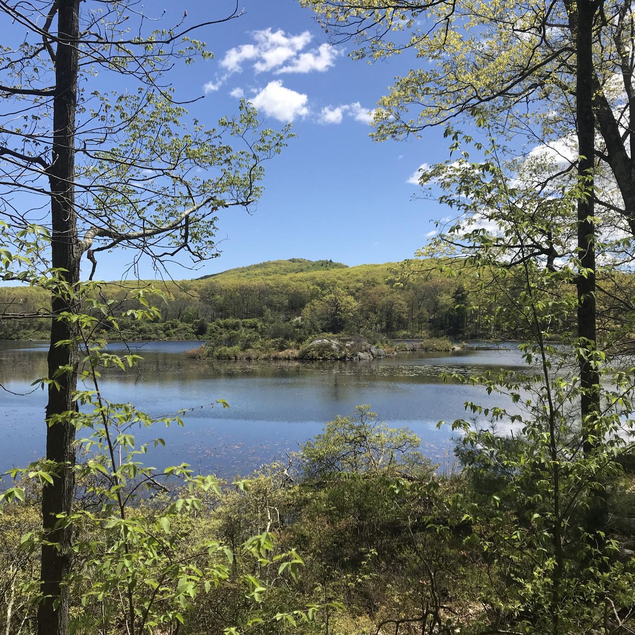
Hiking around Woodbury, Minnesota, offers access to a diverse network of trails spanning approximately 180 miles across 3,600 acres of parkland. The region features varied ecosystems including serene lakes, lush woodlands, open fields, wetlands, and prairies. Woodbury is situated on higher ground between the Mississippi and St. Croix Rivers, with Valley Creek contributing to its natural landscape. Efforts are underway to restore habitats like oak woodlands, oak savannas, and prairies in several parks.
Best hiking trails around Woodbury
- The most…
Last updated: August 31, 2026
5.0
(1)
10
hikers
6.23km
01:48
160m
150m
Embark on an easy hiking adventure on the Fingerboard Mountain via Appalachian Trail and Long Path Loop. This 3.9-mile (6.2 km) route takes you through varied terrain, from rocky sections…
9
hikers
16.7km
04:53
460m
440m
Embark on a moderate hike across the Fingerboard, Hogencamp & Island Pond Mountain route, covering 10.4 miles (16.7 km) with an elevation gain of 1493 feet (455 metres). You can…

Sign up for free
7
hikers
9.55km
02:50
320m
210m
The Black Mountain and Owl Lake Loop offers a classic Harriman State Park experience, winding through diverse landscapes from damp lake shores to dry, rocky ridgelines. You'll navigate steep climbs…
2
hikers
9.66km
02:47
250m
230m
Explore Stockbridge Mountain and Lake Nawahunta on a moderate 6.0-mile hike in Harriman State Park, featuring historical sites and scenic vi
2
hikers
10.5km
03:05
290m
290m
The LetterRock Mountain Loop Trail offers a rewarding journey through Harriman State Park, combining a moderate challenge with beautiful scenery. You'll encounter a good climb to several viewpoints, providing expansive…
Get access to more routes and recommendations from other explorers.
Sign up for free
Already have an account?
Our route recommendations are based on thousands of hikes, rides, and runs completed by other people on komoot.
Start today with a free account
Your next adventure awaits.
Login or Signup

Tips from the Community

No, it's not "the" intersection in NYC, but a rock in Harriman State Park, NY. It's well-known/named because it's prominently located at the junction of several hiking trails, including the Long Path, Arden-Surebridge (red triangle/white), and Ramapo-Dunderberg (red dot/white). It's now a landmark, where hikers can access the Appalachian Trail via various routes. A nice stop in the middle of the woods.
0
0

If doing the shorter loop know that the turn off is to loop to the other side of the lake is right after the shelter. If you continue on the yellow path past youll come to a red cross trail. This will take you oddly to the middle of the highway. Also protect yourself the woods are LOADED with ticks. My friend was brushing them off every few minutes and when I got threw and we hit up the meal after, I found them crawling all over me. We mostly walked, never sat down anywhere and barely stood still.
0
0

A small, well-protected shelter along the trail, perfect for an overnight stay. The shelter is basic but has everything you need for camping in the forest. Fingerboard Shelter tends to get busier on weekends.
0
0
Easily one of the most fulfilling summits in Harriman Park.
0
0

The mountain is only a couple of miles away from Pine Swamp mine, which you can get to using connecting trails. The mine itself is off the trail, though. Here is the highlight: https://www.komoot.com/highlight/4488751
0
0

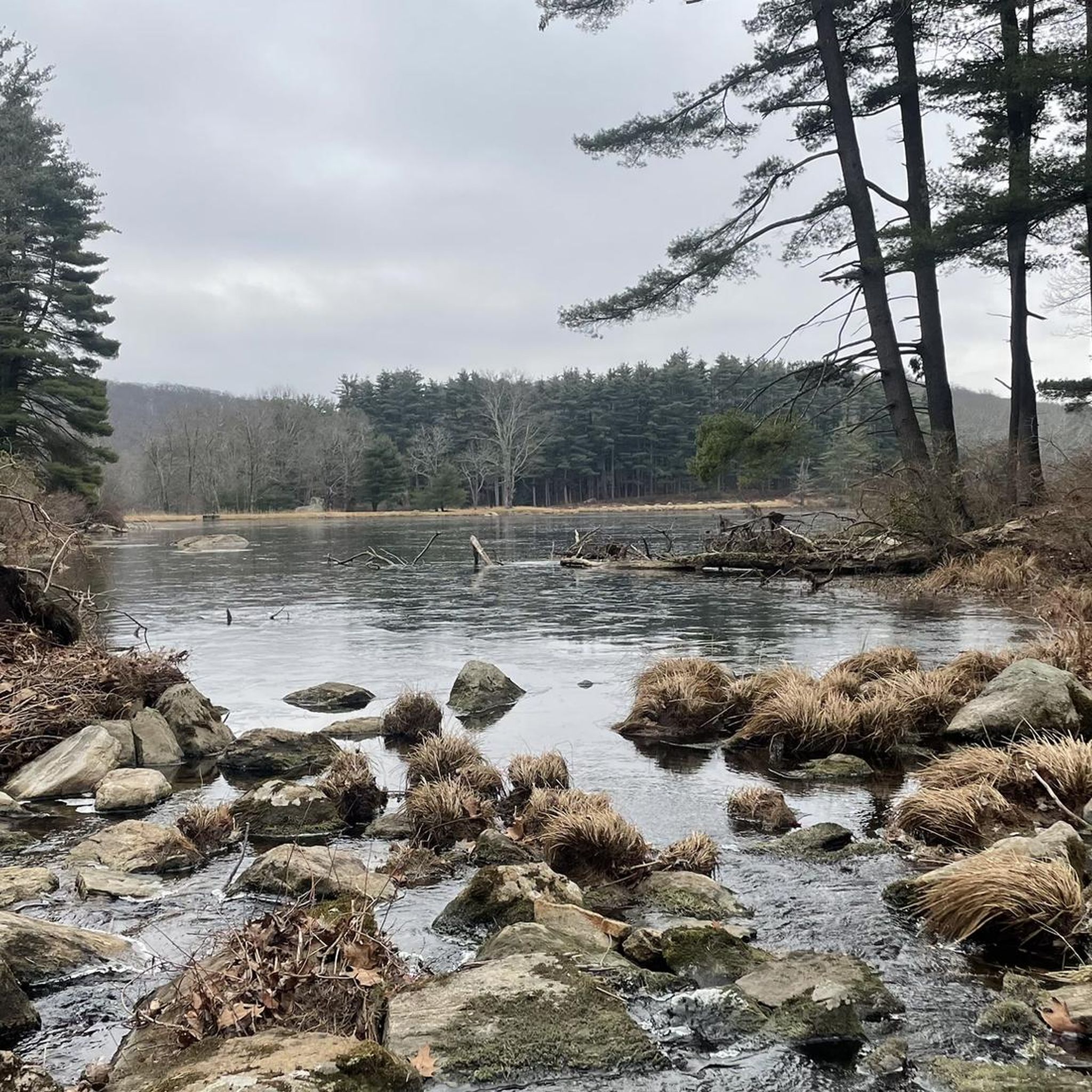
When you reach the creek, you'll see a small bridge, but the waterway is narrow enough to cross via the rocks in low water seasons. Using the stones may be safer than going across the aging bridge.
0
0
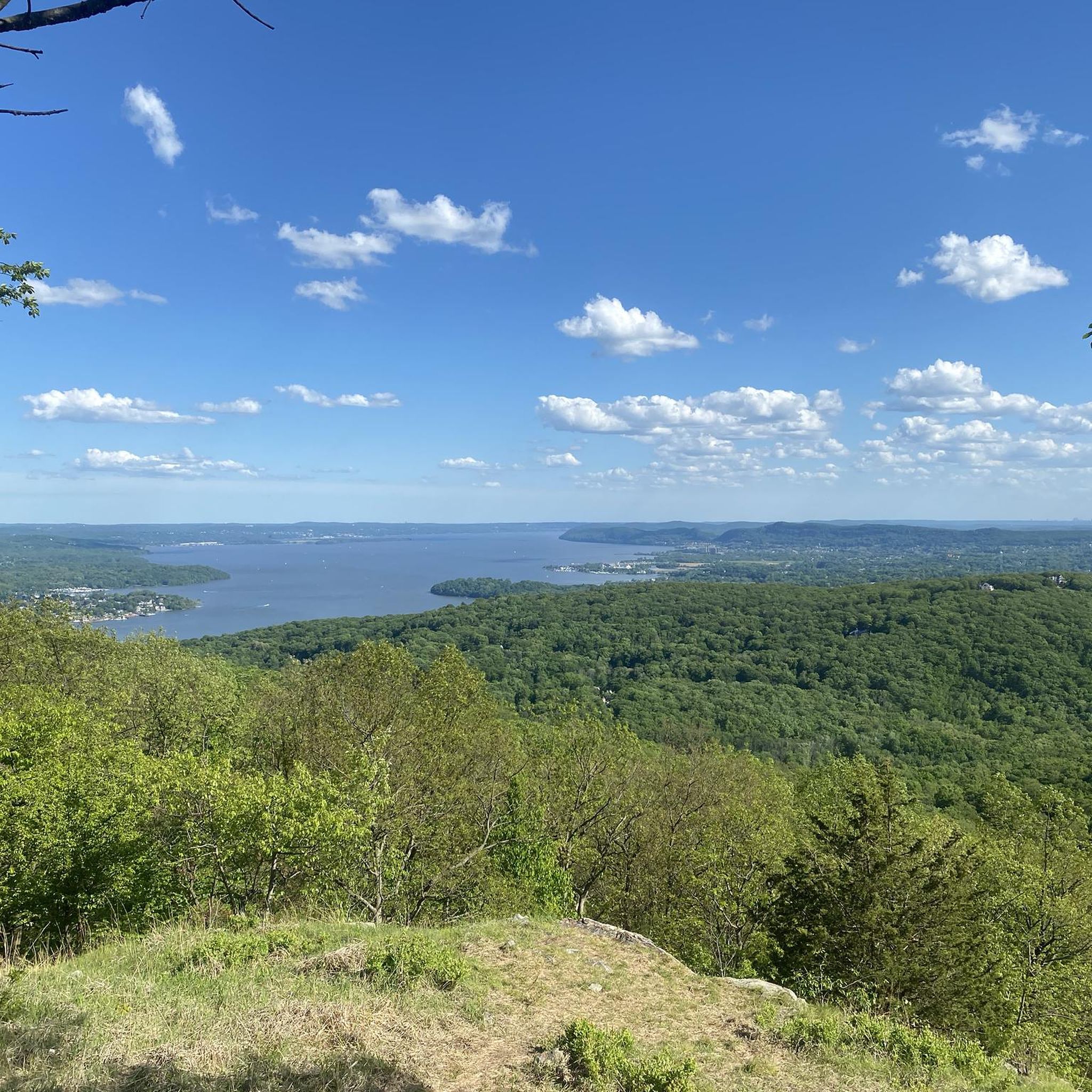
Black Mountain offers multiple great viewpoints along its ridge. For a more peaceful experience, plan your hike midweek when the trails are quieter, as this peak can get really busy on the weekends and the summer.
0
0
Frequently Asked Questions
How many hiking trails are available in Woodbury?
Woodbury offers a comprehensive network of trails, with over 20 hiking routes documented on komoot. These routes span various lengths and difficulties, providing ample choices for explorers.
What kind of landscapes can I expect to see while hiking in Woodbury?
Woodbury's trails traverse a diverse range of natural features, including serene lakes, lush woodlands, open fields, wetlands, and prairies. The city is situated on higher ground between the Mississippi and St. Croix Rivers, with Valley Creek adding to its natural allure. You can also find restored habitats like oak woodlands and savannas in parks such as Valley Creek Park and Ojibway Park.
Are there options for different hiking skill levels in Woodbury?
Yes, Woodbury's trail network caters to various abilities. You'll find a good selection of easy strolls, with 4 routes classified as easy. The majority of trails, 17 in total, are of moderate difficulty, offering a balanced challenge. For more experienced hikers, there are also 2 difficult routes available.
What are some recommended parks for hiking in Woodbury?
Several parks in Woodbury are excellent for hiking. Tamarack Nature Preserve offers unpaved trails, boardwalks, and paved paths through wetlands. Carver Lake Park provides trails suitable for walking and biking. Ojibway Park features both paved and unpaved trails, ideal for leisurely walks. Lastly, Valley Creek Park has the 'Heritage Walk' with interpretive signs through a pine forest and oak savanna.
Are there any notable natural landmarks or viewpoints along the trails?
Yes, hikers can discover several interesting natural features. For instance, the Lemon Squeezer via Long Path loop passes by the unique rock formation known as Lemon Squeezer. You might also encounter Jackie Jones Mountain, offering elevated perspectives, and enjoy a View of Bear Mountain State Park from Rocky Outcrop on some routes.
Are the hiking trails in Woodbury suitable for families?
Many trails in Woodbury are family-friendly, particularly those in parks like Ojibway Park and Carver Lake Park, which offer paved and unpaved options suitable for various ages. The Tamarack Nature Preserve also features accessible paths and boardwalks, making it a great option for families to explore wetlands and observe wildlife.
Are dogs allowed on the hiking trails in Woodbury?
While specific regulations can vary by park, many of Woodbury's extensive multi-use trails are dog-friendly. It's always recommended to keep dogs on a leash and to check individual park rules before visiting to ensure a pleasant experience for everyone.
Are there any circular hiking routes in Woodbury?
Yes, Woodbury offers several circular hiking routes. A popular option is the Silver Mine Lake Loop, which is a 3.4-mile (5.5 km) trail. Another notable circular route is the South Stockbridge Mountain via Menomine Trail loop, covering 6.6 miles (10.7 km).
Is parking available at the trailheads in Woodbury?
Most major parks and trailheads in Woodbury, such as Carver Lake Park, Ojibway Park, and Tamarack Nature Preserve, offer designated parking areas for visitors. It's generally easy to find parking close to the starting points of popular trails.
What do other hikers enjoy the most about hiking in Woodbury?
The hiking experience in Woodbury is highly rated by the komoot community, with an average score of 4.8 stars from over 60 reviews. Hikers frequently praise the serene lakes, lush woodlands, and restored prairies, as well as the variety of options for different ability levels. Many appreciate the well-maintained and diverse terrain that allows for both active recreation and peaceful natural escapes.
What is the best time of year to go hiking in Woodbury?
Woodbury offers enjoyable hiking experiences throughout the year. Spring and fall provide pleasant temperatures and vibrant scenery, with blooming wildflowers or colorful foliage. Summer is ideal for enjoying the lakes and shaded woodlands. Even winter hiking can be beautiful, with trails often accessible for snowshoeing or cross-country skiing, offering a tranquil, snowy landscape.
Are there any trails that feature historical sites or points of interest?
Yes, some trails offer glimpses into the region's history. For example, the 'Heritage Walk' at Valley Creek Park features interpretive signs about Woodbury's history and geology. Additionally, the Pine Swamp Mine is a historical site that can be explored along certain routes.
Most popular attractions around Woodbury

Get inspired with the komoot mobile app


Explore more
Browse the best Hikes in other regions.
