The best walks and hikes around Eisenberg (Pfalz)
4.6
(513)
1,704
hikers
84
hikes
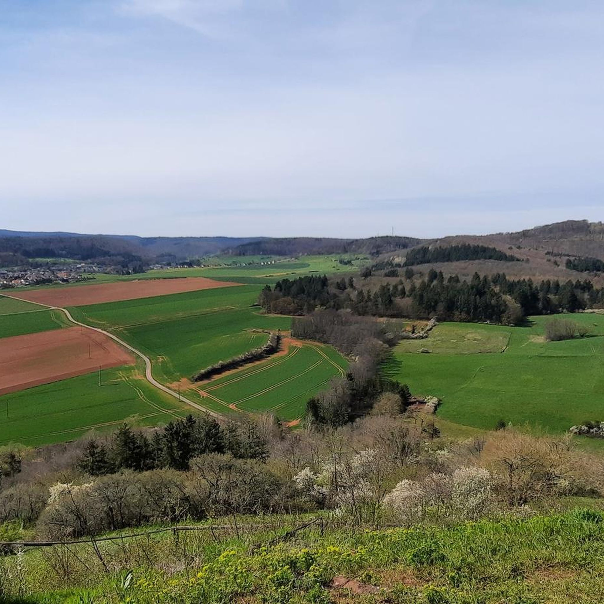
Hiking around Eisenberg (Pfalz) offers diverse landscapes within the Donnersberg district of the Palatinate region. The area is situated at the foot of the Donnersberg, the highest mountain in the Palatinate, and serves as a gateway to the extensive Palatinate Forest Nature Park. Unique natural features include the Erdekaut, a landscape formed from former clay pits, providing varied terrain for outdoor activities. The region features rolling hills, dense woodlands, and valleys.
Best hiking trails around Eisenberg (Pfalz)
- The most popular hiking route is Rosenthaler Pond – Ruins of Rosenthal Monastery loop from Stauf, a 5.0 miles (8.1 km) trail that takes 2 hours 15 minutes to complete. This route leads past the historical Ruins of Rosenthal Monastery.
- Another top favourite among local hikers is Erdekaut Pond – View of Eisenberg loop from Eisenberg (Pfalz), a difficult 13.1 miles (21.0 km) path. This trail explores the unique Erdekaut landscape and offers views of Eisenberg.
- Local hikers also love the Neuleiningen Historic Village – Neuleiningen Castle loop from Eisenberg (Pfalz), a 11.9 miles (19.2 km) trail leading through varied terrain, often completed in about 5 hours 17 minutes.
- Hiking around Eisenberg (Pfalz) is defined by the prominent Donnersberg, the extensive Palatinate Forest, and the unique Erdekaut landscape. The network of trails offers options for various ability levels, from easy strolls to challenging day hikes.
- The routes in Eisenberg (Pfalz) are highly rated by the komoot community with an average score of 4.6 stars from more than 400 reviews. More than 1600 hikers have used komoot to explore Eisenberg (Pfalz)'s varied terrain.
Last updated: September 28, 2026
4.7
(70)
176
hikers
8.10km
02:16
160m
160m
Moderate hike. Good fitness required. Easily-accessible paths. Suitable for all skill levels.
4.6
(30)
86
hikers
21.0km
05:43
310m
310m
Hard hike. Very good fitness required. Easily-accessible paths. Suitable for all skill levels.

4.6
(17)
62
hikers
5.62km
01:35
110m
110m
Easy hike. Great for any fitness level. Easily-accessible paths. Suitable for all skill levels.
3.0
(1)
17
hikers
18.9km
05:12
310m
310m
Hard hike. Very good fitness required. Easily-accessible paths. Suitable for all skill levels.
3.8
(5)
25
hikers
4.62km
01:15
70m
70m
Easy hike. Great for any fitness level. Easily-accessible paths. Suitable for all skill levels.
Get access to more routes and recommendations from other explorers.
Already have an account?
Our route recommendations are based on thousands of hikes, rides, and runs completed by other people on komoot.
Start today with a free account
Your next adventure awaits.

Tips from the Community

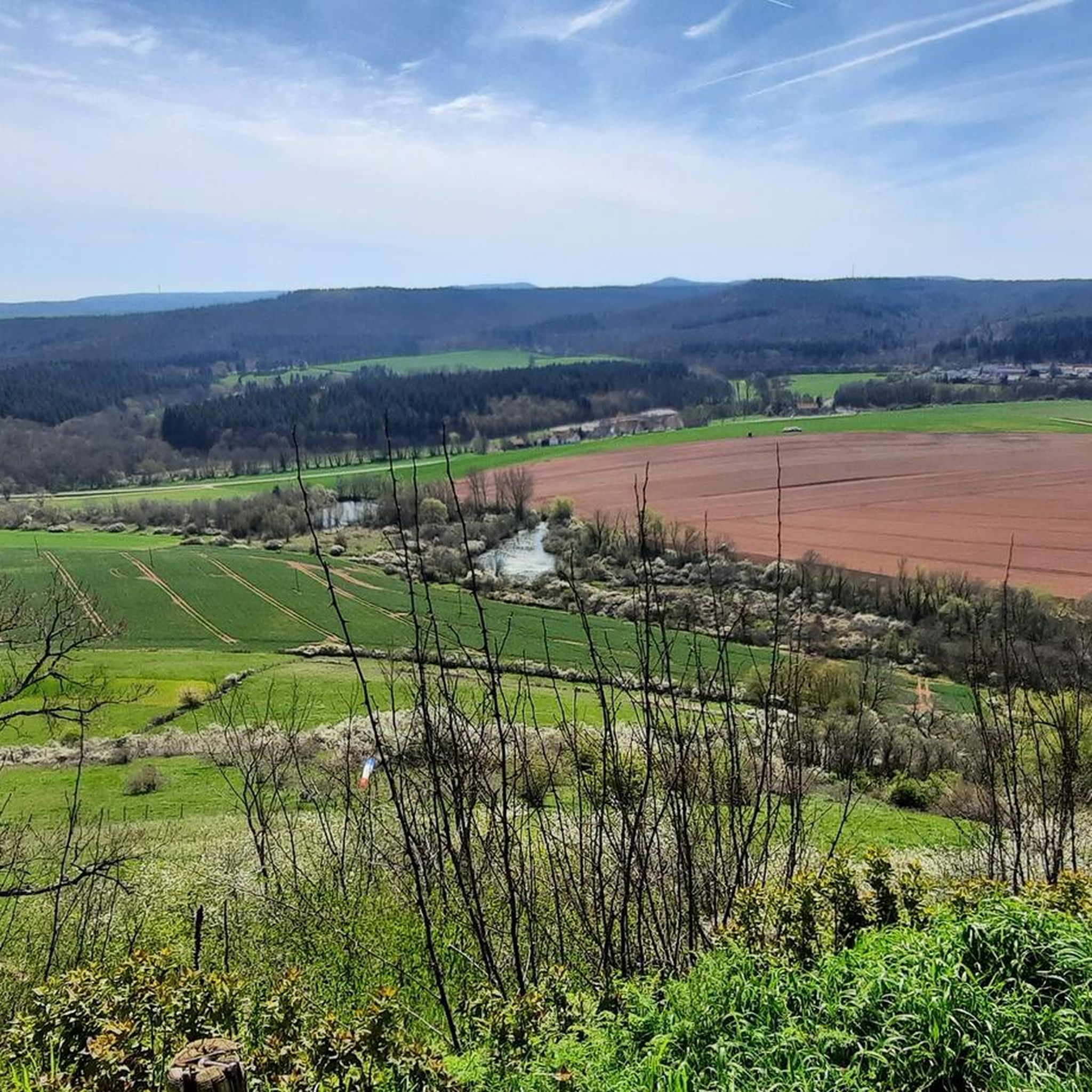
Beautiful biotope, which emerged as a cultural landscape in the context of clay extraction through the pits and heaps. Numerous habitats for animals have emerged here, which were endangered after the extraction ceased, as the forest reclaimed everything. But this has been recognized, and so these habitats have been restored. Cultural landscapes are created by humans and must also be maintained by them.
0
0

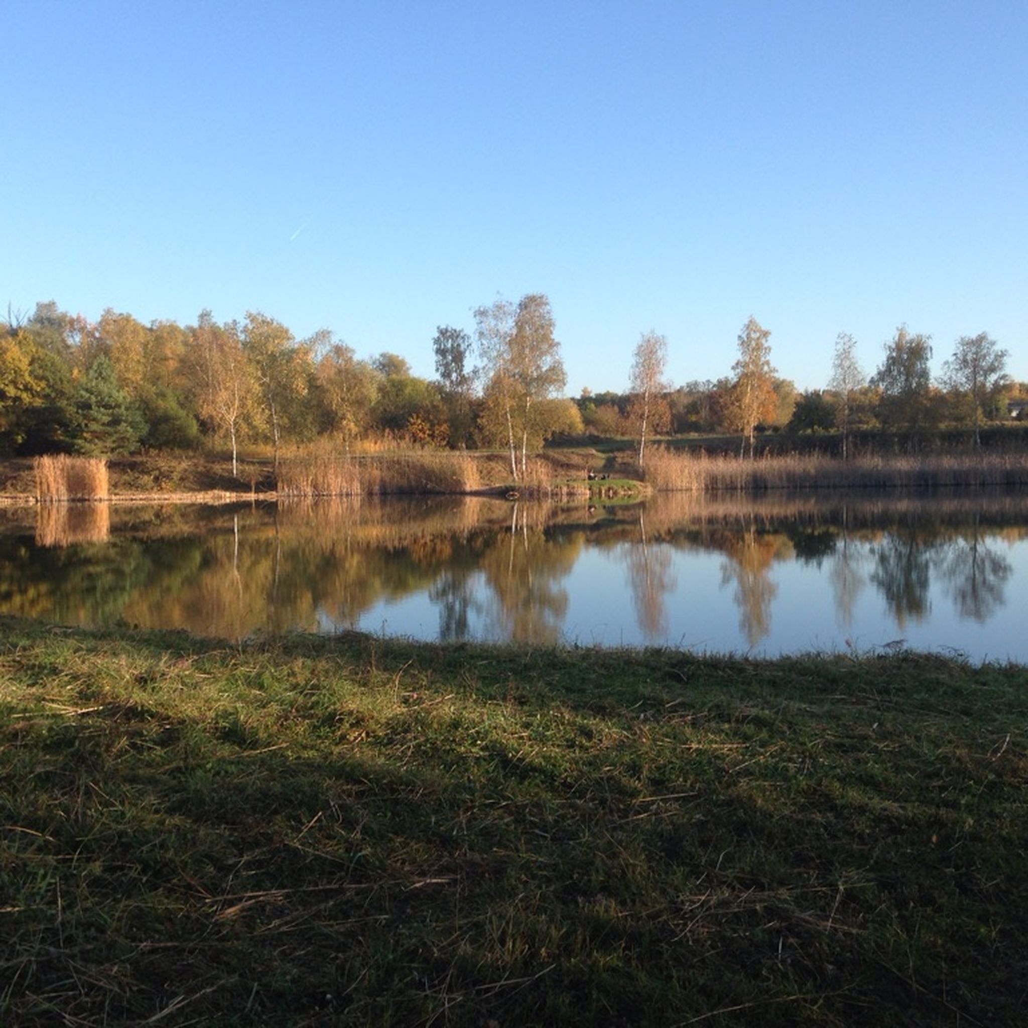
A really idyllic spot - reminds me of my childhood
0
0


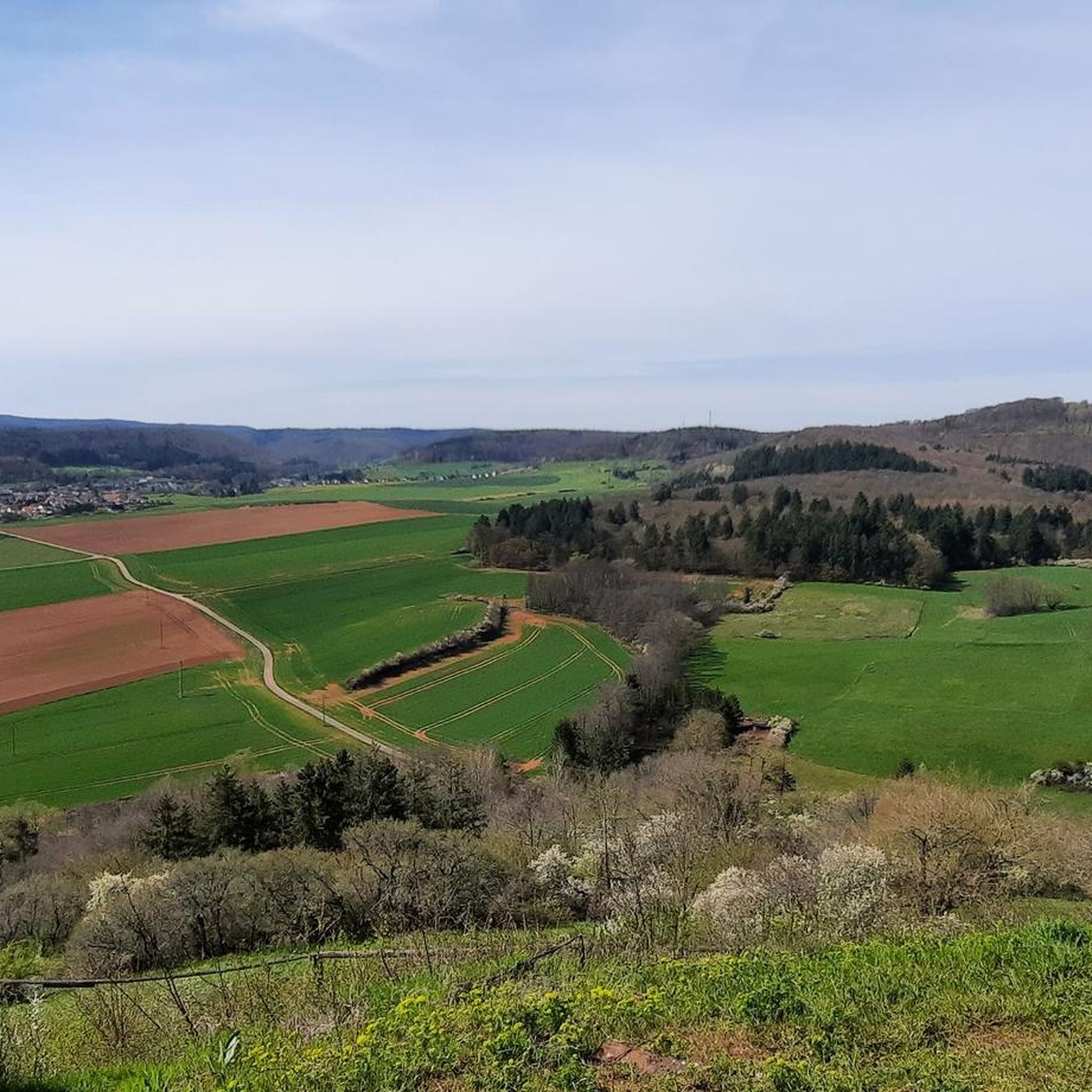
Beautiful protected landscape area with Pasqueflowers and Cowslips
0
0

Beautifully renovated, available for rent
0
0

The rest area is located below the Kessler Cross. The path to the cross is somewhat steep.
2
0
At this point you can choose between three different paths.
2
0
The pond is located very close to the monastery ruins, and you'll inevitably pass by. There's a single shady bench and a table and chairs here. It's a good place for a short rest. We were able to observe Euphemia's aforementioned gander in action. It's best not to get too close.
2
0
Frequently Asked Questions
How many hiking trails are available in Eisenberg (Pfalz)?
There are over 80 hiking routes around Eisenberg (Pfalz), offering a diverse range of experiences for all levels of hikers. The network includes everything from easy strolls to challenging day hikes.
What are the difficulty levels of hikes around Eisenberg (Pfalz)?
The trails around Eisenberg (Pfalz) cater to various fitness levels. You'll find approximately 58 easy routes, 22 moderate trails, and 3 more challenging hikes, ensuring there's something for everyone.
Are there family-friendly hiking options in Eisenberg (Pfalz)?
Yes, many trails are suitable for families. The region offers numerous easy routes perfect for a leisurely walk with children. For example, the Old Cemetery, Rosenthal – Ruins of Rosenthal Monastery loop from Stauf is an easy option that includes a historical landmark.
Can I bring my dog on the hiking trails in Eisenberg (Pfalz)?
Yes, the Palatinate Forest region is generally very dog-friendly. Most trails around Eisenberg (Pfalz) welcome dogs, but it's always advisable to keep them on a leash, especially in nature reserves or near wildlife. Ensure you carry water for your pet.
What are some natural highlights or scenic viewpoints to discover?
Eisenberg (Pfalz) is rich in natural beauty. You can explore the unique Erdekaut landscape, a former clay pit area with diverse flora and fauna. The region is also at the foot of the Donnersberg, the highest mountain in the Palatinate, offering panoramic views. Don't miss the tranquil Ungeheuersee, a protected bog pond, or the impressive Rotenfels rock formation overlooking vineyards.
Are there historical sites or landmarks along the trails?
Absolutely. The region is dotted with historical points of interest. You can hike to the Ruins of Rosenthal Monastery, a significant historical landmark. Other routes lead past historical towers like Königsstuhl, Ritterschlösschen, and Wartturm. The Neuleiningen Historic Village – Neuleiningen Castle loop also takes you to a charming village and its castle.
Are there circular hiking routes available?
Yes, many of the trails around Eisenberg (Pfalz) are designed as circular routes, allowing you to start and end at the same point. Examples include the Rosenthaler Pond – Ruins of Rosenthal Monastery loop and the more challenging Erdekaut Pond – View of Eisenberg loop.
What is the best time of year to go hiking in Eisenberg (Pfalz)?
The best seasons for hiking in Eisenberg (Pfalz) are spring, when meadows bloom and the forests come alive, and autumn, when the colorful foliage creates a romantic atmosphere across the Palatinate Forest and vineyards. Summer offers lush green landscapes, while winter can provide peaceful, snow-dusted trails, though some paths might be less accessible.
Is parking available at the trailheads?
Yes, parking is generally available at or near the main trailheads and popular starting points for hikes around Eisenberg (Pfalz). Specific parking information can often be found on individual route descriptions or local tourist information sites.
What do other hikers say about the trails in Eisenberg (Pfalz)?
The trails in Eisenberg (Pfalz) are highly rated by the komoot community, with an average score of 4.6 stars from over 400 reviews. Hikers often praise the diverse landscapes, well-maintained paths, and the combination of natural beauty with historical landmarks.
Are there any unique landscapes to explore, like the Erdekaut?
Yes, the Erdekaut is a truly unique landscape formed from former clay pits between Eisenberg and Hettenleidelheim. It's a fascinating area for hiking, offering remarkable biodiversity and remnants of historical mining operations. The Erdekaut Pond – View of Eisenberg loop is an excellent way to experience this area.
What other attractions are near Eisenberg (Pfalz) for visitors?
Beyond hiking, the region offers several other attractions. You can explore fascinating caves, including the Börrstadt Hermitage or the White Mine — Visitor Mine. For those interested in cycling, there are also bike parks nearby.
Most popular routes around Eisenberg (Pfalz)
Most popular attractions around Eisenberg (Pfalz)

Get inspired with the komoot mobile app


Explore more
Browse the best Hikes in other regions.
