The best walks and hikes around Santa Fe Foothills
4.3
(38)
662
hikers
61
hikes
Hikes around Santa Fe Foothills explore the high-desert landscape at the base of the Sangre de Cristo Mountains. The region is characterized by piñon-juniper woodlands and an extensive network of trails that connect the city with the Santa Fe National Forest. Many routes offer expansive views over the city and surrounding mountain ranges from prominent peaks and ridges.
Best hiking trails around Santa Fe Foothills
- The most popular hiking route is Atalaya Mountain Trail — Santa Fe National Forest, a 6.2 mile (10.0 km) trail that takes about 3 hours 25 minutes to complete. This route involves a steady ascent through the Santa Fe National Forest to the mountain summit.
- Another top favourite among local hiking enthusiasts is Picacho Peak & Atayala Mountain loop — Dale Ball Trails, a moderate 6.5 mile (10.5 km) path. The trail is part of the Dale Ball Trails system and includes climbs to two separate peaks.
- Local hiking enthusiasts also love the Dorothy Stewart Trail – Santa Fe, New Mexico, a 1.9 mile (3.1 km) trail leading through the high-desert terrain, often completed in about 50 minutes.
- Hiking around Santa Fe Foothills is defined by high-desert landscapes, piñon-juniper woodlands, and ascents to mountain viewpoints. The trail network provides options for both shorter, easier walks and more challenging routes with significant elevation gain.
- The routes in Santa Fe Foothills are highly rated by the komoot community with an average score of 4.3 stars from more than 30 reviews. More than 500 hikers have used komoot to explore Santa Fe Foothills's varied terrain.
Last updated: May 12, 2026
4.3
(3)
24
hikers
8.92km
03:02
470m
470m
Moderate hike. Good fitness required. Easily-accessible paths. Suitable for all skill levels.
7
hikers
6.85km
02:15
310m
310m
Moderate hike. Good fitness required. Mostly accessible paths. Sure-footedness required.

Sign up for free
3
hikers
9.48km
02:43
240m
210m
Moderate hike. Good fitness required. Easily-accessible paths. Suitable for all skill levels.
1
hikers
2.34km
00:44
150m
0m
Easy hike. Great for any fitness level. Easily-accessible paths. Suitable for all skill levels.
5.0
(3)
59
hikers
9.98km
03:23
510m
510m
Moderate hike. Good fitness required. Easily-accessible paths. Suitable for all skill levels.
Get access to more routes and recommendations from other explorers.
Sign up for free
Already have an account?
Our route recommendations are based on thousands of hikes, rides, and runs completed by other people on komoot.
Start today with a free account
Your next adventure awaits.
Login or Signup
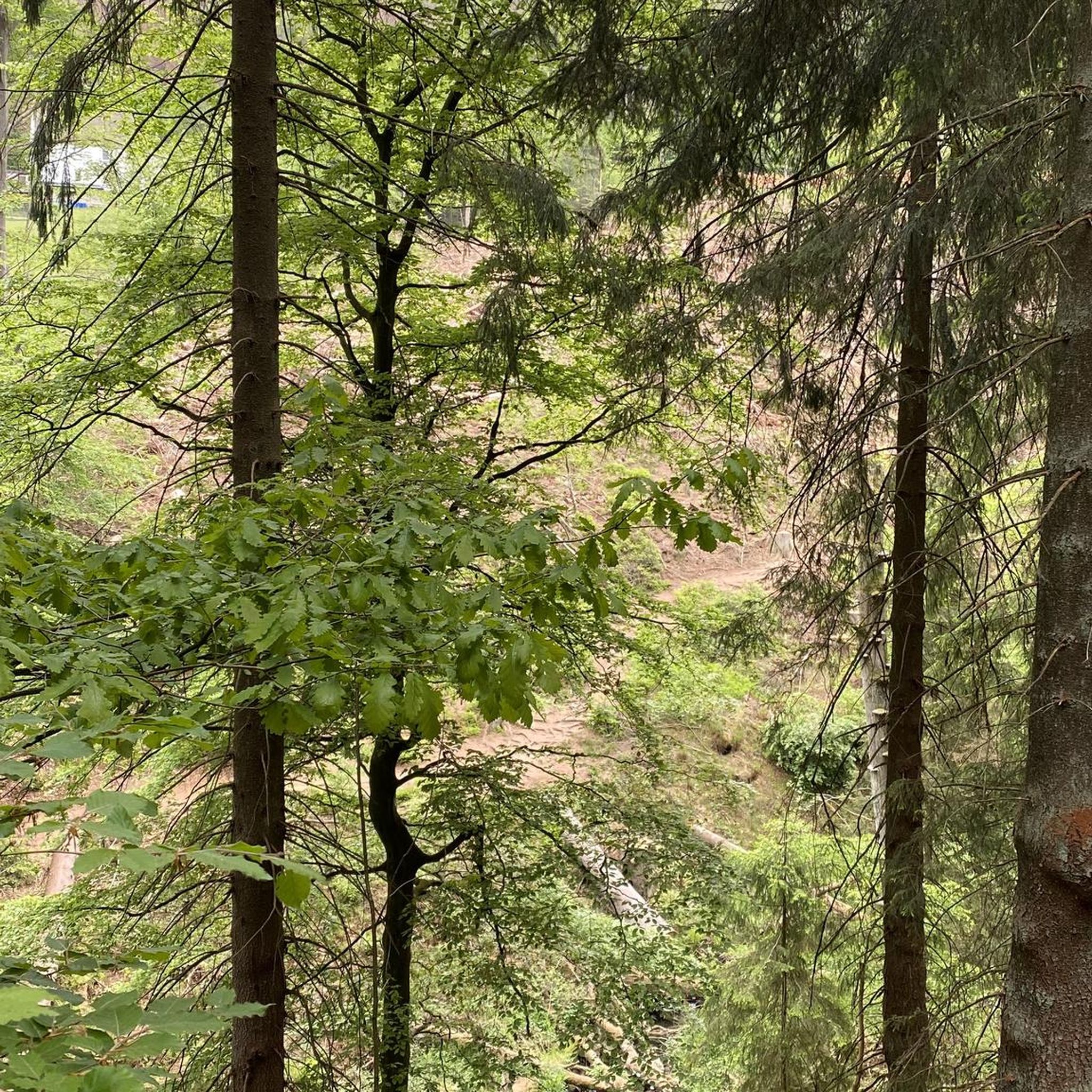
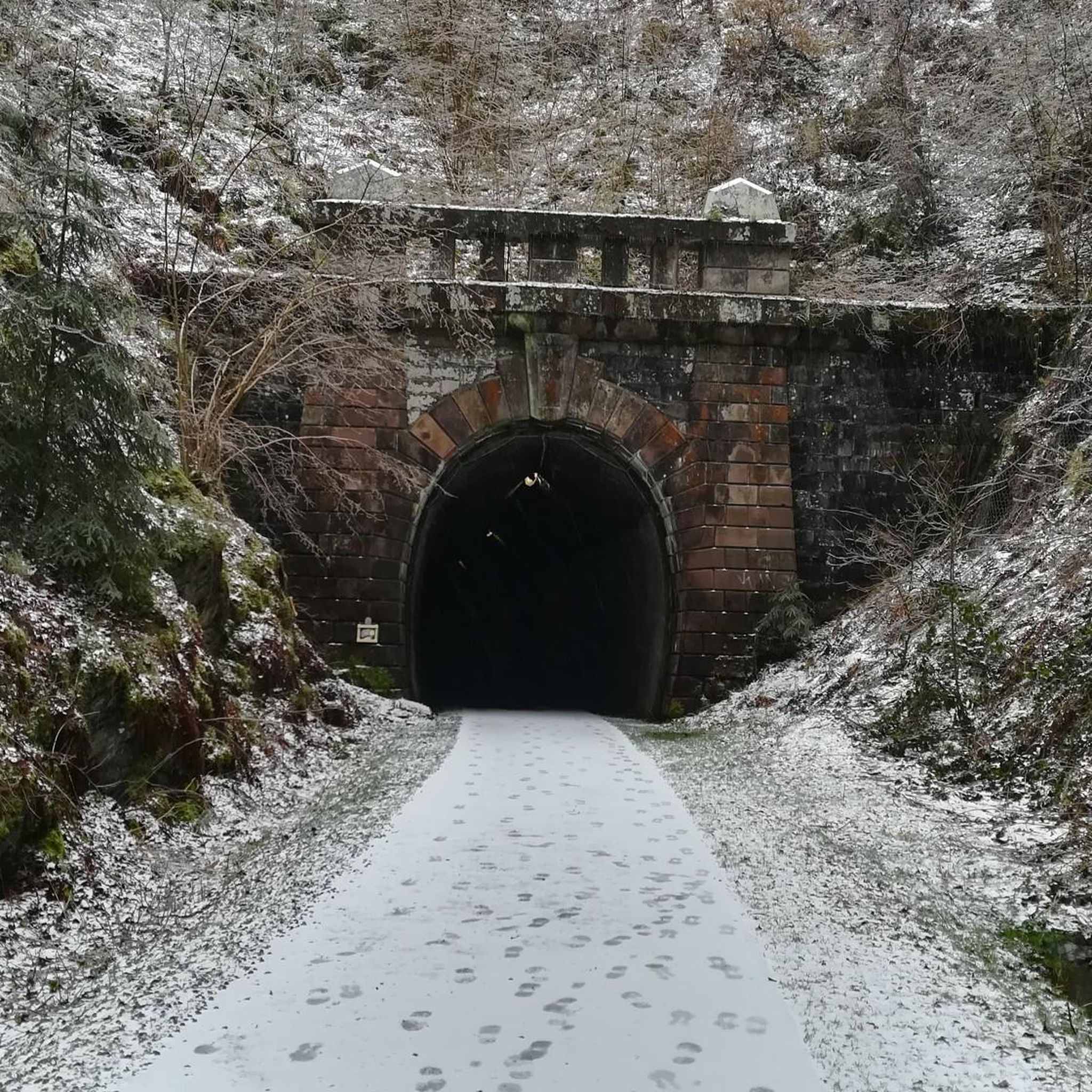
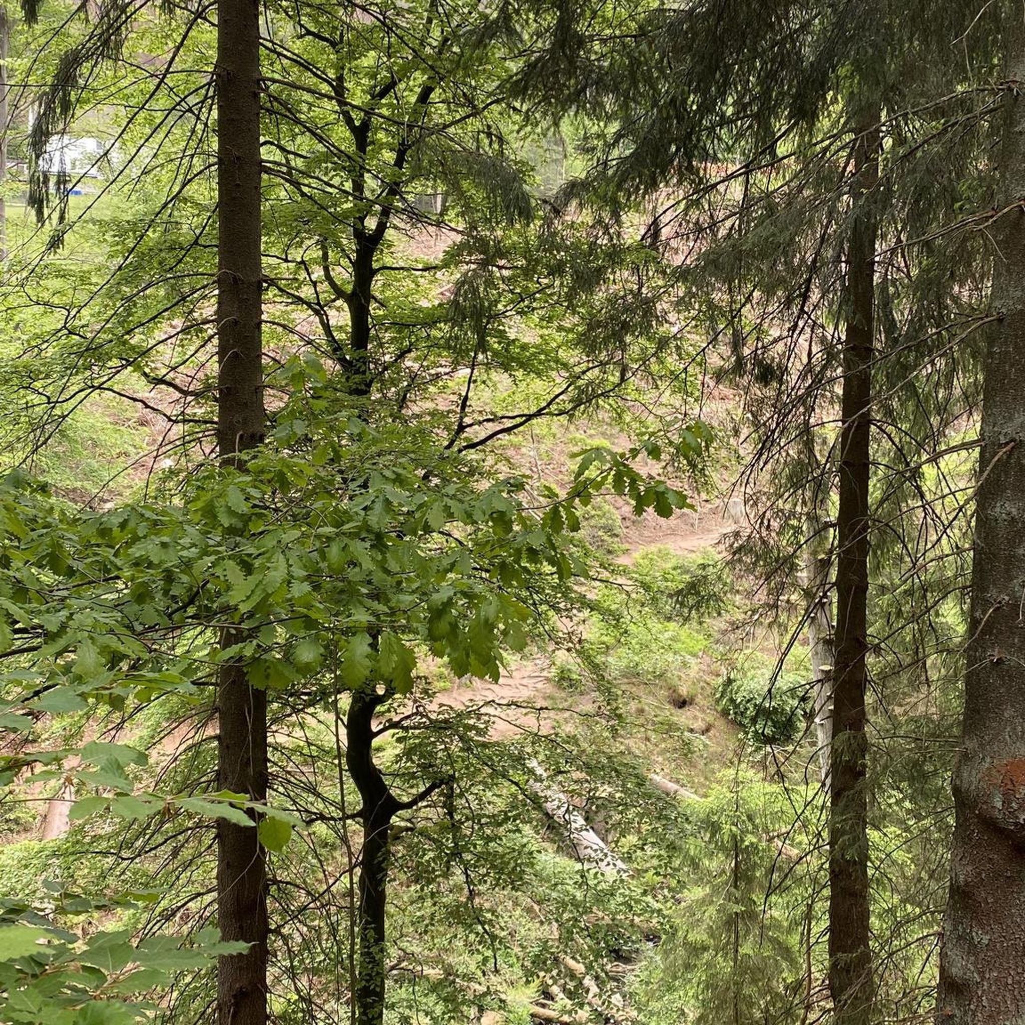


Tips from the Community

With 9,121 feet, Atalaya Mountain is one of the highest peaks around the city of Santa Fe. It is part of the Sangre de Cristo Range. Up here, you will be treated with a stunning view towards Santa Fe, Sun Mountain, Picacho Peak and Thompson Peak.
3
0
Picacho Peak is one of the summits very close to the city of Santa Fe. The hike is short – of course depending on your starting location – but will be steep. The stunning view is worth the effort and you can enjoy a great sunset if you stay until nightfall.
5
0

This is the southernmost trail head for the Dale Ball Trail system. The trail starts near St. John's College (there is parking specifically for the trail). Very easy access from downtown Santa Fe. Can't speak to public transportation, as walked to trail head (road has only occasional sidewalks, just fyi), but I did pass a couple of bus stops. Trail is well-marked, especially at the numbered junctions (at which there are also topography maps of the trails). There are also a number of trail heads and interlacing trails, so hikes or bike rides can be shorter or longer depending on what you want, even while out on the hills. On maps, this trail is called "St. John's Trail", but physical markers use the name "Atalaya Trail"; either way, you will follow markers for Trail 174. Lovely hike, with views of the Sangre de Cristo mountains and back across Santa Fe. Website: https://sfct.org/dale-ball-trails/
2
0
Frequently Asked Questions
Are there any easy, family-friendly hikes in the Santa Fe Foothills?
Yes, there are several options suitable for families. The Dorothy Stewart Trail – Santa Fe, New Mexico is a great choice, offering a gentle 1.9-mile (3.1 km) walk through beautiful high-desert scenery that can be completed in under an hour.
Can I bring my dog on the trails?
Dogs are generally welcome on the trails in the Santa Fe Foothills, including the popular Dale Ball Trails and in the Santa Fe National Forest. However, they must be kept on a leash and under your control at all times. Please be sure to pack out any waste to help keep the trails clean.
Which hike offers the best views of Santa Fe?
For stunning panoramic views of the city and surrounding mountains, the Sun Mountain Trail – Santa Fe, New Mexico is a local favorite. It's a relatively short but rewarding climb that delivers an excellent vantage point at the summit.
What is the best time of year to hike in the Santa Fe Foothills?
Hiking is possible year-round thanks to over 300 days of sunshine. Spring and fall offer the most pleasant temperatures. Summer mornings are ideal for avoiding the afternoon heat, while winter hikes can be beautiful, though you should be prepared for snow and ice on the trails, especially at higher elevations.
What should I know before hiking in Santa Fe's high elevation?
Santa Fe sits at an elevation of over 7,000 feet (2,134 m). If you're visiting from a lower altitude, it's wise to take it easy for the first day or two. Always carry more water than you think you'll need, wear sun protection, and dress in layers as the weather can change quickly.
Are there any circular or loop trails available?
Yes, many trails are designed as loops. For a shorter loop, consider the Arroyo Hondo Open Space loop — Santa Fe. This easy 2.4-mile (3.9 km) trail is perfect for a quick outing with minimal elevation gain.
How many hiking trails are in the Santa Fe Foothills?
There are over 50 hiking routes to explore around the Santa Fe Foothills on Komoot. The trails range from easy, short walks in the high-desert to more strenuous climbs into the Sangre de Cristo Mountains, offering something for every skill level.
What is the Dale Ball Trails system?
The Dale Ball Trails are a highly regarded 23-mile network of interconnected trails that form the core of the foothills hiking experience. The system is well-marked and provides a variety of routes, connecting the city directly to the vast Santa Fe National Forest.
Where can I find a map of the trail system?
While Komoot provides detailed digital maps for each route, you can also find a comprehensive overview map of the area. Santa Fe County provides a detailed PDF map of the Foothill Trails, which you can view here: Santa Fe Foothill Trails Map.
What do other hikers enjoy most about the Santa Fe Foothills?
The area is highly rated by the Komoot community. Reviewers often praise the stunning panoramic views, the well-maintained and clearly marked trails, and the peaceful atmosphere of the piñon-juniper woodlands.
Is there parking available at the trailheads?
Yes, most major trailheads have designated parking areas. Popular spots like the Dale Ball Trails - Sierra del Norte Trailhead and the Sun Mountain Trailhead have parking, but they can fill up quickly, especially on weekends. It's best to arrive early to secure a spot.
Most popular attractions around Santa Fe Foothills

Get inspired with the komoot mobile app


Explore more
Browse the best Hikes in other regions.
