The best walks and hikes around Agua Fria
4.5
(27)
326
hikers
52
hikes
Hikes around Agua Fria National Monument explore a landscape of expansive mesas, deep canyons, and desert grasslands located north of Phoenix. The region is defined by the Agua Fria River, which carves a path through a basaltic plateau. The terrain offers a mix of designated routes and off-trail exploration, with many paths leading to significant prehistoric sites and petroglyphs.
Best hiking trails around Agua Fria
- The most popular hiking route is Santa Fe River Trail — Santa Fe, a…
Last updated: May 27, 2026
1
hikers
4.25km
01:07
30m
20m
Easy hike. Great for any fitness level. Easily-accessible paths. Suitable for all skill levels.
1
hikers
18.1km
04:43
120m
150m
Moderate hike. Good fitness required. Easily-accessible paths. Suitable for all skill levels.

Sign up for free
1
hikers
39.1km
10:07
190m
270m
Hard hike. Very good fitness required. Easily-accessible paths. Suitable for all skill levels.
2.25km
00:37
30m
30m
Easy hike. Great for any fitness level. Easily-accessible paths. Suitable for all skill levels.
1.85km
00:29
0m
20m
Easy hike. Great for any fitness level. Easily-accessible paths. Suitable for all skill levels.
Get access to more routes and recommendations from other explorers.
Sign up for free
Already have an account?
Our route recommendations are based on thousands of hikes, rides, and runs completed by other people on komoot.
Start today with a free account
Your next adventure awaits.
Login or Signup

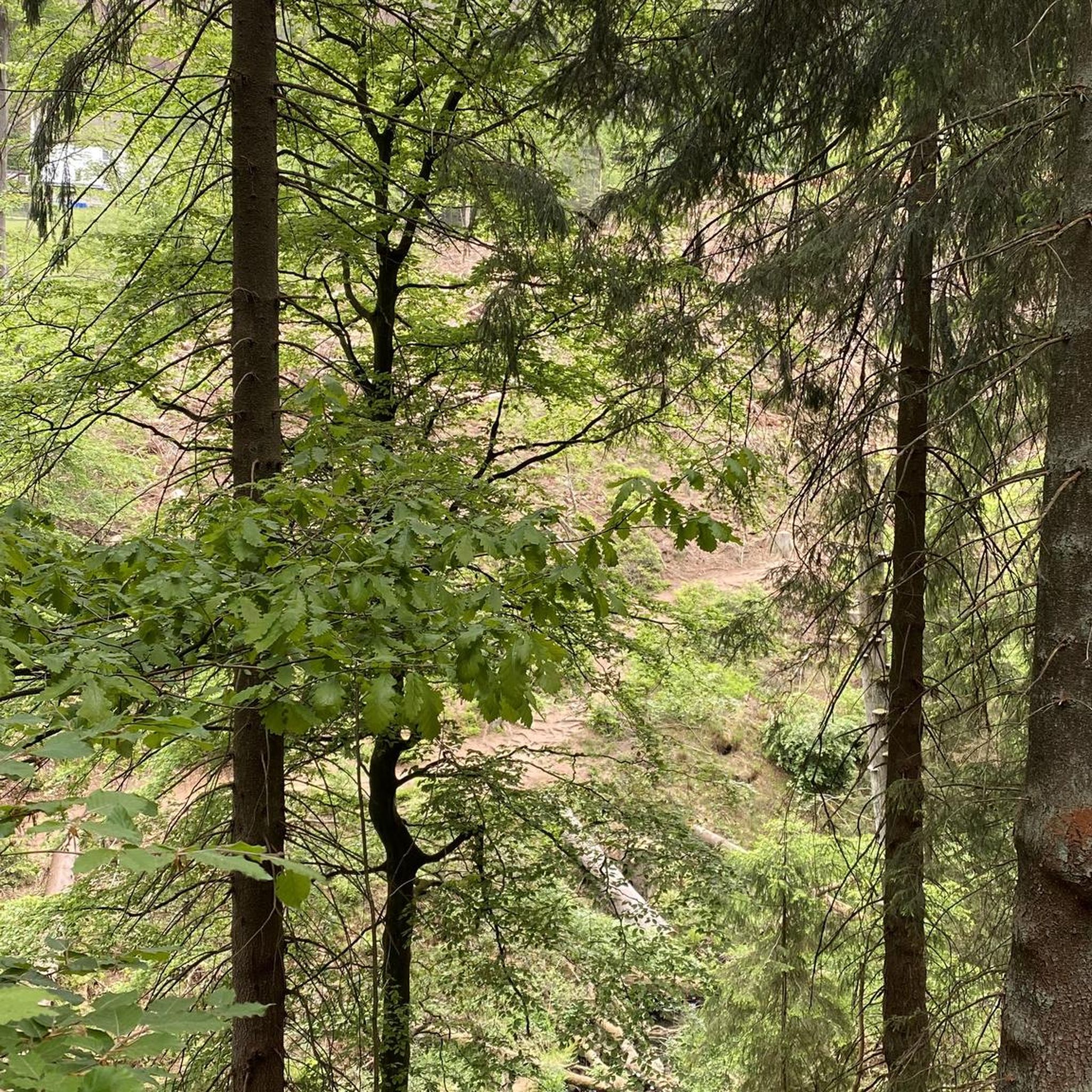



Tips from the Community

You get uninterrupted views across the red earth from the packed dirt path. Here the Santa Fe Rail Trail meets the Spur Trail.
0
0

This is the southern terminus of the Santa Fe Rail Trail, just outside the town of Lamy in New Mexico. This 15-mile trail's northern terminus is the city of Sante Fe. The trail actually follows the Atchinson, Topeka, and Santa Fe Railway lines. It is a multi-use, mixed asphalt and dirt trail byway; 3.5 miles of it is paved within the Santa Fe city limits, and the remaining 11.5 miles is dirt.
0
0

This small waterfall near Frenchy’s Field Park is a picturesque spot to pause as you walk along the river.
0
0
This park is an interesting highlight near the Santa Fe River. The name comes from Frenchy Parachou, who owned a dairy farm here and later donated the land to the city as an open space area. There are some paths and trails that run through the 17-acre property and lots of wildflowers, fruit trees and even a prairie dog habitat!
0
0

Incredible feeling to roll into Santa Fe. The town is full of incredible sights, cuisine, culture, and more, a great treat after 13 days on the road!
2
1
Frequently Asked Questions
Where is Agua Fria National Monument located?
Agua Fria National Monument is located about 40 miles north of Phoenix, Arizona. The main access points, such as the Badger Springs and Bloody Basin Road exits, are directly off Interstate 17, making it a relatively straightforward destination to reach by car.
Are there any easy, family-friendly hikes in Agua Fria?
Yes, the area offers several easier options suitable for a family outing. A great choice is the Santa Fe Open Space Trails loop — Santa Fe, which is a relatively short and flat walk. Another good option is the trail to the Pueblo la Plata cultural site, a short quarter-mile path leading to impressive prehistoric ruins.
Can I bring my dog on the trails?
Yes, dogs are generally permitted in Agua Fria National Monument, but they must be kept on a leash. The terrain can be rugged and rocky with sharp vegetation, and temperatures can get very high, so ensure you bring plenty of water for your pet and check their paws for any issues.
What are the trail conditions like in the monument?
Many routes in Agua Fria are undeveloped and can be rugged, sandy, or rocky. While some trails like the one at Badger Springs are more defined, much of the monument encourages off-trail exploration. It's essential to wear sturdy hiking boots, carry a map, and be prepared for a primitive hiking experience.
Are there any circular or loop trails available?
Yes, there are several loop trails that allow you to explore the landscape without backtracking. For a pleasant walk through arroyos and open desert, consider the Arroyos Loop — Santa Fe. It provides a good sense of the region's typical terrain on a moderately easy path.
Where can I see petroglyphs?
The monument is rich with ancient rock art. One of the most accessible places to see petroglyphs is along the Badger Springs Trail. After a short walk down the wash to the Agua Fria River, you will find a large panel of petroglyphs on the rock faces. Exploring the canyons often reveals more hidden carvings.
Is there water available on the trails?
You should always bring your own water, as natural sources are unreliable. The Agua Fria River, which means 'cold water', does flow seasonally, typically through early summer. However, its flow can vary greatly, and other sources are scarce. Do not depend on finding water during your hike.
What is the best time of year to hike in Agua Fria?
The best seasons for hiking are fall, winter, and spring when temperatures are cooler. Summer can be extremely hot, making hiking dangerous, especially during the middle of the day. The spring often brings wildflowers and more water in the Agua Fria River.
What kind of wildlife might I see?
The monument's diverse habitats support a variety of wildlife. It's common to see mule deer, javelina, coyotes, and antelope. The area is also excellent for birdwatching, with chances to spot eagles, various raptors, and songbirds, particularly in the riparian areas along the river.
Is there parking available at the trailheads?
Yes, there are designated parking areas at key access points. The Badger Springs Trailhead, for example, has a well-established parking lot right off the I-17 exit. For more remote areas accessed via roads like Bloody Basin Road, parking is often less formal, and a high-clearance vehicle may be required to reach them.
How many hiking trails are there in the Agua Fria area?
There are over 35 designated hiking routes to explore around Agua Fria. The landscape also offers vast opportunities for off-trail exploration across its mesas and canyons for those with good navigation skills. The trails range from easy walks to moderate adventures, but there are no designated difficult routes.
What do other hikers think of the trails around Agua Fria?
The area is well-regarded by the komoot community, with an average rating of 4.4 out of 5 stars. Hikers often praise the sense of solitude, the stunning desert scenery, and the opportunity to discover ancient petroglyphs and ruins.
Most popular attractions around Agua Fria

Get inspired with the komoot mobile app


Explore more
Browse the best Hikes in other regions.
