The best running trails around Jemez Springs
5
runs
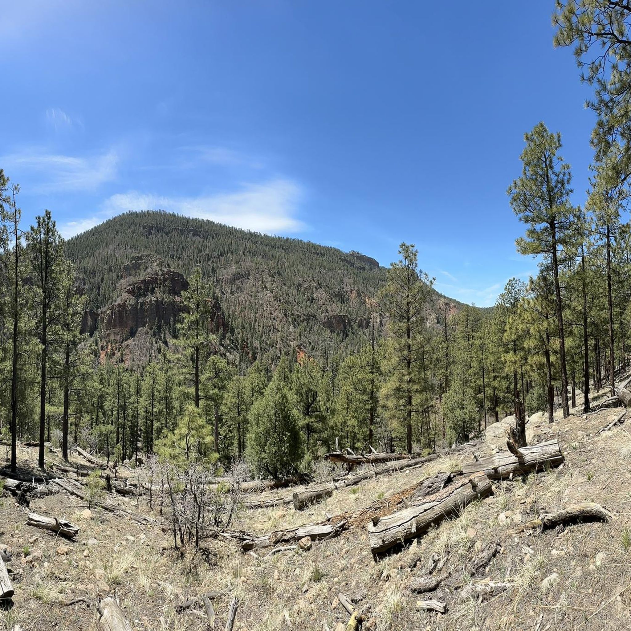
Jogging around Jemez Springs offers routes through the scenic Jemez Mountains, characterized by forested canyons, river valleys, and volcanic rock formations. The region provides a diverse landscape for runners, with trails winding alongside the Jemez River and leading to natural features like hot springs and waterfalls. Elevation changes are common, providing varied challenges across the terrain. The area's natural environment supports a range of running experiences, from moderate paths to more demanding routes.
Best jogging routes around Jemez Springs
- The…
Last updated: October 10, 2026
5.20km
00:41
200m
200m
Embark on the McCauley Warm Springs via East Fork Trail Loop for a moderate jogging experience through the beautiful Santa Fe National Forest. This route covers 3.2 miles (5.2 km)…
4.88km
00:32
100m
100m
Embark on a moderate jogging route through the dramatic Guadalupe Box Canyon, where towering red rock formations and sheer cliffs frame your path. You will follow the Guadalupe River as…

15.2km
01:51
250m
250m
The East Fork Trail offers a demanding jogging experience through the unique landscape of the Jemez National Recreation Area. This difficult route spans 9.5 miles (15.2 km) and involves a…
9.15km
01:09
300m
300m
Embark on a difficult jogging route along the East Fork Trail, leading you to Jemez Falls and McCauley Hot Springs. This 5.7-mile (9.1 km) journey involves a significant elevation gain…
8.08km
01:02
390m
390m
The Monastery Trail offers a demanding jogging experience, covering 5.0 miles (8.1 km) with a significant elevation gain of 1274 feet (388 metres). You can expect a challenging workout that…
Our route recommendations are based on thousands of hikes, rides, and runs completed by other people on komoot.
Start today with a free account
Your next adventure awaits.
Popular around Jemez Springs
Tips from the Community

From this point, get a good view of Mesa Garcia in the east. Its peak reaches close to 7,000 feet above sea level.
0
0
Gilman Tunnels are on a narrow, paved road that is used by cars but is also popular with bikers, hikers, and runners. The tunnels were cut out of rock in the 1920s and made bigger in the 1930s for logging projects. The rocks here are 1.6 billion years old, and this area has great views of the canyons and Rio Guadalupe.
0
0
Jemez State Monument is a short network of paved walking trails to check out before or after your run. The ruins are rich in history and made of beautiful local red stone.
0
0
The trails east of Jemez Pueblo are a series of trails across the highway from the Jemez State Monument. They are without blazes or signs, but it is easy to see the footpath. From the parking area, cross NM Highway 4 and run these backcountry trails.
0
0
This point of the trail brings runners closer to Jemez Falls and smaller pools. The pools can be accessed with a short rock scramble to cool off by.
0
0
At 70 feet in height Jemez Falls is the tallest waterfall in the Jemez Mountains. From the overlook you will get a full view of the falls.
0
0
The East Fork Trail offers some nice views of tent rocks. These rock formations are cone-shaped and made by ancient volcanic eruptions.
0
0
This is the west end of the East Fork Trail, west of where New Mexico Highway 4 intersects it. This trail continues to follow the East Fork River and pass by forests, canyons, streams, and more.
0
0
Frequently Asked Questions
What types of running trails can I expect in Jemez Springs?
Jogging around Jemez Springs offers a diverse landscape, characterized by forested canyons, river valleys, and volcanic rock formations. You'll find trails winding alongside the Jemez River and leading to natural features like hot springs and waterfalls, with varied elevation changes.
Are there any easy running routes in Jemez Springs for beginners?
While there are no routes explicitly rated 'easy' in this guide, there are two moderate options suitable for those looking for a less strenuous run. Consider the Gilman Tunnels route, which is 4.9 km with 100m of elevation gain, or the McCauley Warm Springs via East Fork Trail Loop, a 5.2 km path with 204m of elevation gain.
Are there any running routes that feature hot springs or waterfalls?
Yes, several routes offer access to these natural attractions. The Jemez Falls and McCauley Hot Springs via East Fork Trail is a 9.1 km route that leads directly to both Jemez Falls and McCauley Warm Spring. Additionally, McCauley Warm Springs via East Fork Trail Loop also visits the warm springs.
What is the typical elevation gain on running trails in Jemez Springs?
Elevation changes are common in the Jemez Springs area, providing varied challenges. For example, the moderate McCauley Warm Springs via East Fork Trail Loop has about 204m of ascent, while the difficult Monastery Trail features a significant 388m of elevation gain.
Are there any loop running trails in the Jemez Springs area?
Yes, the McCauley Warm Springs via East Fork Trail Loop is a popular 5.2 km loop that takes you through a mix of forest and open areas, often completed in about 40 minutes.
What are some notable landmarks or points of interest near the running routes?
Beyond the trails themselves, you can explore several natural and historical sites. Highlights include Spence Hot Springs, the impressive Battleship Rock, and the historical Jemez State Monument. These are all within the vicinity of the running trails.
What is the longest running route featured in this guide?
The longest running route in this guide is the East Fork Trail, which spans 15.2 km (9.4 miles) and is rated as difficult. It follows the East Fork of the Jemez River through a forested canyon.
Are the running trails in Jemez Springs generally suitable for families?
The guide features routes with varying difficulties. While some trails have significant elevation gain, the moderate options like the Gilman Tunnels route (4.9 km) might be suitable for families with older children who are accustomed to outdoor activities. Always check the route details for distance and elevation to ensure it matches your family's ability.
What should I consider when planning a run in Jemez Springs regarding trail difficulty?
The trails in Jemez Springs range from moderate to difficult. You'll encounter routes with significant elevation changes and varied terrain. For example, the Monastery Trail is a difficult 8.1 km run with 388m of ascent, requiring good fitness. Always review the difficulty grade, distance, and elevation profile before heading out.
How many running routes are included in this guide for Jemez Springs?
This guide features 5 highly-rated running routes that showcase the best of the region's landscape, offering options for different ability levels.
Can I expect to see wildlife while running in Jemez Springs?
The Jemez Mountains are home to diverse wildlife. While specific sightings are never guaranteed, running through forested canyons and river valleys increases your chances of encountering local fauna. Always be aware of your surroundings and respect wildlife habitats.
What is the shortest running route available in this guide?
The shortest running route in this guide is the Gilman Tunnels route, a moderate 4.9 km (3 miles) path with 100m of elevation gain, typically completed in about 30 minutes.
Most popular routes around Jemez Springs
Most popular attractions around Jemez Springs

Get inspired with the komoot mobile app


Explore more
Browse the best Running Trails & Routes in other regions.
