The best road cycling routes around Gillette
4.5
(57)
1,007
riders
184
rides
Road cycling around Gillette, Wyoming, offers access to diverse natural features and scenic routes in the northeastern part of the state. The region is characterized by open roads, rolling plains, and proximity to significant geological formations and mountainous areas. Cyclists will encounter varied terrain, from expansive prairie lands to routes leading towards the Black Hills and Bighorn Mountains. The landscape provides a mix of shared roadways and dedicated city bike paths, offering a range of experiences for road cyclists.
Best road cycling routes around Gillette
- The most popular road cycling route is Whitebridge Road – Green Valley round loop from Stirling, a 19.6 miles (31.5 km) trail that takes 1 hour 26 minutes to complete. This easy route offers views of the surrounding rolling plains.
- Another top favourite among local road cyclists is Devil's Tree loop from Stirling, a moderate 36.6 miles (58.9 km) path. This route navigates varied terrain, characteristic of the region's open roads.
- Local road cyclists also love the Osborn Pond – Green Valley round loop from Berkeley Heights, a 24.2 miles (38.9 km) trail leading through rolling plains and open roads, often completed in about 1 hour 48 minutes.
- Road cycling around Gillette is defined by rolling plains, open roads, and distant mountainous vistas. The network offers options for different ability levels, from easy loops to more challenging moderate routes.
- The routes in Gillette are highly rated by the komoot community with an average score of 4.6 stars from over 60 reviews. More than 1000 road cyclists have used komoot to explore Gillette's varied terrain.
Last updated: August 12, 2026
5.0
(1)
19
riders
23.1km
01:04
230m
230m
Easy road ride. Great for any fitness level. Mostly well-paved surfaces and easy to ride.
5.0
(1)
25
riders
34.3km
01:37
320m
320m
Moderate road ride. Good fitness required. Some segments of this route may be unpaved and difficult to ride.

Sign up for free
8
riders
58.9km
02:41
530m
530m
Moderate road ride. Good fitness required. Mostly well-paved surfaces and easy to ride.
5.0
(2)
9
riders
50.1km
02:19
420m
420m
Moderate road ride. Good fitness required. Mostly well-paved surfaces and easy to ride.
9
riders
51.2km
02:16
430m
430m
Moderate road ride. Good fitness required. Mostly well-paved surfaces and easy to ride.
Get access to more routes and recommendations from other explorers.
Sign up for free
Already have an account?
Our route recommendations are based on thousands of hikes, rides, and runs completed by other people on komoot.
Start today with a free account
Your next adventure awaits.
Login or Signup


Tips from the Community

really nice vibe, though don't count on riding though the blue trail, its still can be nice to visit just for the views
0
0

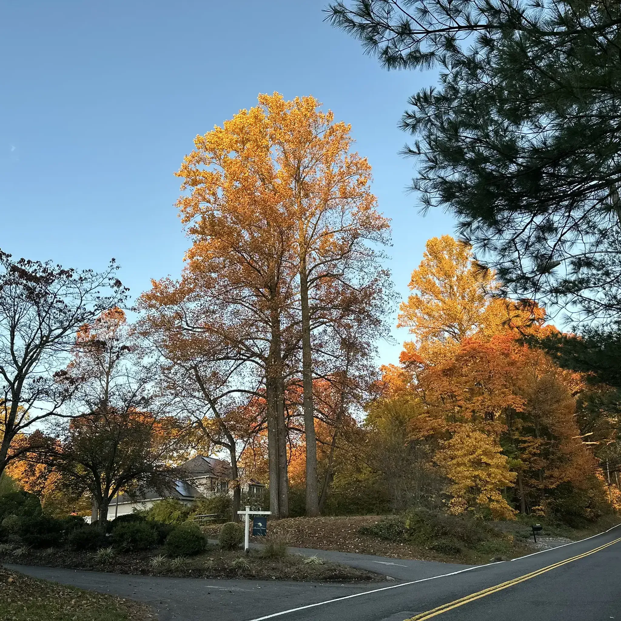
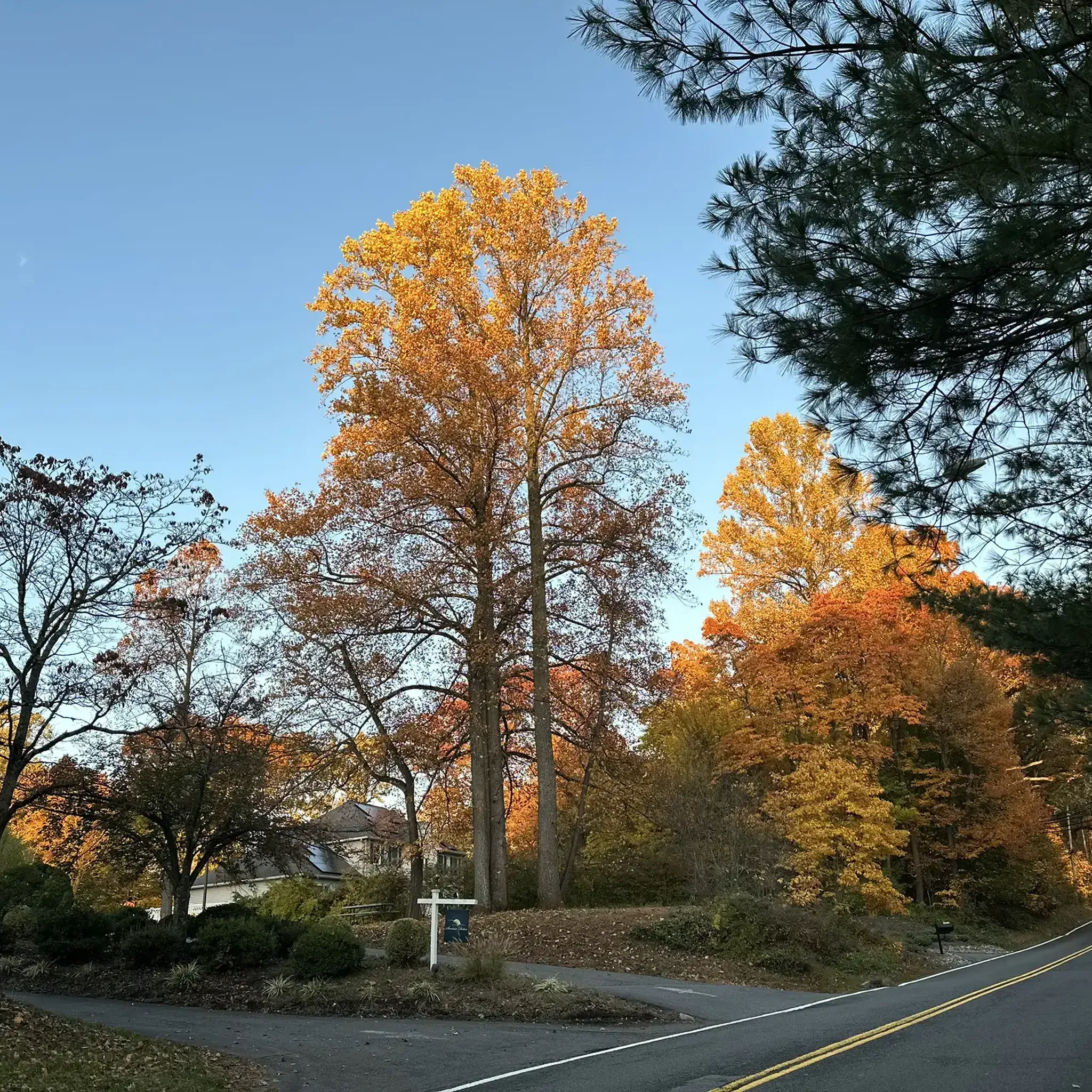
The Devil's Tree is an oak tree that sits by itself on Mountain Road. The tree is surrounded by legends, the most popular being that anyone that disrespects the tree will come to some sort of harm.
0
0

This little coffee shop closes fairly early — usually around 4pm on weekdays, and 2:30pm on weekends. They have a nice selection of drinks, including a juice bar and a latte that features blue spirulina.
0
0
This is a piece of a popular road ride, also known as the Chatham Loop, that's generally pretty easy to accomplish.
0
0

Osborne Pond, also known as Osborn Mill Pond, is a 20-acre lake home to fish species like black crappie and largemouth bass. The Lees Hill Road bridge that goes over Osborn Pond provides a nice view of this waterway, dotted with greenery on the waters surface. Stop on the sidewalk here for a photo opportunity.
0
0

The Great Swamp National Wildlife Refuge in Morris County, New Jersey, is a vital habitat for over 244 bird species and other animals. Established in 1960, it became the first wilderness area within the U.S. Fish and Wildlife Service in 1968. Spanning nearly 7,800 acres, it provides a mix of habitats within the Northeastern coastal forests ecoregion, serving as a crucial stopover for migratory birds along the eastern U.S. The refuge also supports diverse wildlife, including deer, foxes, turtles, and occasional sightings of bears and beavers. The Great Swamp also plays a critical role in flood control and water purification, acting as a natural filter that traps sediments and contaminants while draining the surrounding region and gradually releasing floodwaters during extreme weather.
1
0

Great Swamp is a very nice flat (i.e., no climbs) ride through Basking Ridge, Harding, and Long Hill Township.
0
0
Frequently Asked Questions
How many road cycling routes are available around Gillette?
There are over 170 road cycling routes available around Gillette, catering to various skill levels. You'll find options ranging from easy, flat rides to more challenging routes with significant elevation gain.
What kind of terrain can I expect when road cycling near Gillette?
The terrain around Gillette is diverse. You can expect expansive, open plains with rolling hills, particularly in areas like the Thunder Basin National Grasslands. As you venture further, routes can lead towards the rugged beauty of the Black Hills or the dramatic mountain scenery and challenging climbs of the Bighorn Mountains.
Are there any family-friendly road cycling options in the Gillette area?
While dedicated cycling paths are limited directly within Gillette, the surrounding region offers scenic drives that can be adapted for family rides, especially on less-trafficked rural roads. Cyclists should always prioritize safety and be prepared to share the road with vehicles. For a unique experience, consider cycling within Devils Tower National Monument, where the 3-mile ride to the base of the tower offers a memorable outing.
What are the best times of year for road biking in Gillette?
The best times for road biking in Gillette are generally spring, summer, and fall. Summers offer warm weather, but be prepared for potential heat and afternoon thunderstorms. Spring and fall provide cooler temperatures and often stunning scenery, though conditions can change rapidly. Always check local weather forecasts before heading out.
What scenic landmarks or viewpoints can I see while road cycling near Gillette?
Road cycling near Gillette offers access to several iconic landmarks. You can cycle towards and within Devils Tower National Monument, experiencing its striking geological formation. The scenic drives to the Black Hills and the Bighorn Mountains also provide stunning vistas, from granite formations and pine forests to dramatic mountain peaks.
What should I know about road safety when cycling in Gillette and the surrounding areas?
Safety is paramount. Cyclists should be prepared to share the road with vehicular traffic, including heavy trucks from the local mining industry. Rural roads may have minimal or no shoulders. While I-90 between Gillette and Buffalo has wide shoulders, it can be noisy and lacks services. Always assume drivers may not see you, and be prepared for potential encounters with wildlife.
Are there any loop road bike trails in the Gillette area?
Yes, the region offers various loop routes. For example, the Whitebridge Road – Green Valley round loop is an easy 19.6-mile option, while the Devil's Tree loop provides a moderate 36.6-mile ride through varied terrain.
What is the difficulty level of road cycling routes around Gillette?
The routes around Gillette cater to all difficulty levels. Approximately 33 routes are considered easy, ideal for beginners or leisurely rides. The majority, about 118 routes, are moderate, offering a good challenge. For experienced cyclists seeking significant climbs and longer distances, there are also 24 difficult routes available.
What do other road cyclists enjoy most about road cycling in Gillette?
The area is highly rated by the komoot community, with an average score of 4.5 stars from over 60 reviews. Reviewers often praise the diverse terrain, from rolling plains to routes leading to iconic landmarks, and the sense of adventure on the open roads.
Are there opportunities to see wildlife while road cycling near Gillette?
Yes, the region is rich in wildlife. When cycling near Devils Tower, you might spot white-tailed deer, elk, and turkey. The Black Hills National Forest also offers opportunities to see various wildlife species amidst its natural beauty.
Where can I find parking for road biking trails around Gillette?
Parking availability varies by route. For routes that start from towns or specific attractions like Devils Tower National Monument, designated parking areas are typically available. For rural road cycling, cyclists often find suitable parking in small towns or at trailheads, but it's always advisable to plan your starting point in advance.
Are there any long-distance or advanced road cycling routes near Gillette?
For advanced cyclists, the region offers routes with significant elevation gain and longer distances, particularly as you head towards the Bighorn Mountains. While further from Gillette, these areas provide challenging climbs and dramatic mountain views, often requiring multi-day trips or vehicle transport to starting points.
Can I combine road cycling with other outdoor activities in the Gillette area?
Absolutely. Keyhole State Park, accessible from Gillette, offers opportunities for biking amidst its stunning landscapes and around the Keyhole Reservoir, and is also popular for hiking, boating, and fishing. The Black Hills and Bighorn Mountains also provide extensive options for hiking and exploring beyond cycling.
Most popular routes around Gillette
Most popular attractions around Gillette

Get inspired with the komoot mobile app


Explore more
Browse the best Road cycling routes in other regions.
