The best road cycling routes around West New York
4.4
(374)
18,648
riders
220
rides
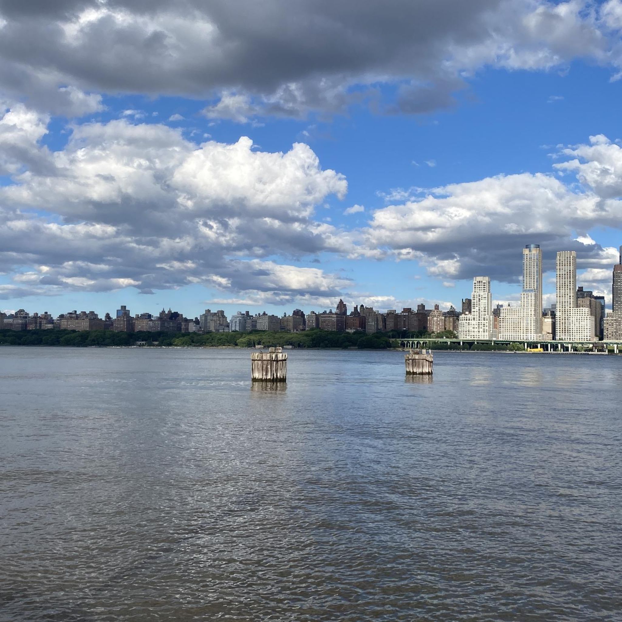
Road cycling routes around West New York offer diverse terrain, from urban waterfront paths to challenging climbs. The region is situated along the Hudson River, providing access to extensive waterfront pathways with panoramic views of the New York City skyline. To the north, the dramatic Palisades cliffs rise along the river, featuring rugged woodlands and significant elevation changes. This combination allows for both relatively flat, scenic rides and more rigorous cycling experiences.
Best road cycling routes around West New York
- The most popular road cycling route is Palisades Loop, a 78.7 miles (126.7 km) trail that takes 5 hours 28 minutes to complete. This difficult route features significant elevation changes along the dramatic Palisades cliffs.
- Another top favourite among local road cyclists is S-Curve Hill beneath the George Washington Bridge – The Little Red Lighthouse loop from 66th Street–Lincoln Center, a difficult 92.3 miles (148.5 km) path. This route connects to New York City and offers challenging terrain with views of the George Washington Bridge.
- Local road cyclists also love the Battery Bikeway – Ward's Island Bridge loop from 34th Street–Hudson Yards, a 31.8 miles (51.2 km) trail leading through urban waterfront areas, often completed in about 2 hours 17 minutes.
- Road cycling around West New York is defined by the Hudson River waterfront, the challenging Palisades cliffs, and urban landscapes. The network offers options for easy, moderate, and difficult routes, catering to various ability levels.
- The routes in West New York are highly rated by the komoot community with an average score of 4.6 stars from over 270 reviews. More than 11,000 road cyclists have used komoot to explore West New York's varied terrain.
Last updated: May 14, 2026
4.8
(23)
958
riders
127km
05:28
850m
850m
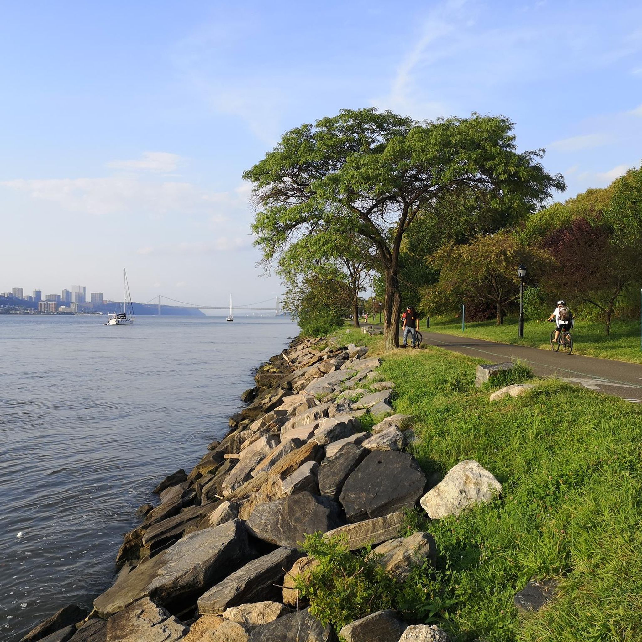
The Palisades Loop is a difficult racebike route, covering 78.7 miles (126.7 km) with 2774 feet (846 metres) of elevation gain. Plan for a ride lasting about 5 hours and 28 minutes, where you will encounter diverse terrain and extensive views. As you cycle, you will see the vast Hudson River, the iconic Manhattan skyline, and the impressive George Washington Bridge, providing a dynamic backdrop to your ride.
When planning your visit, be aware that sections of Henry Hudson Drive, particularly between Englewood and Undercliff Picnic Areas, may have rough conditions or closures due to storm damage. The George Washington Bridge Bike Path also features sharp turns and might not always be in optimal condition. Remember that helmet use is mandatory, and you must stick to designated cycling paths, avoiding hiking trails.
This route is popular for its varied terrain and the extensive views it offers within Palisades Interstate Park. You will find opportunities to immerse yourself in nature along sections like Henry Hudson Drive, where you might even spot local wildlife. The combination of challenging climbs and scenic overlooks makes this loop a distinctive experience in the region.
4.8
(17)
1,275
riders
69.3km
03:01
500m
500m
Moderate road ride. Good fitness required. Mostly well-paved surfaces and easy to ride.

Sign up for free
4.0
(1)
501
riders
Hard road ride. Very good fitness required. Some segments of this route may be unpaved and difficult to ride.
5.0
(2)
368
riders
Moderate road ride. Great for any fitness level. Some segments of this route may be unpaved and difficult to ride.
5.0
(7)
300
riders
83.9km
03:24
390m
390m
Moderate road ride. Good fitness required. Some segments of this route may be unpaved and difficult to ride.
Get access to more routes and recommendations from other explorers.
Sign up for free
Already have an account?
Our route recommendations are based on thousands of hikes, rides, and runs completed by other people on komoot.
Start today with a free account
Your next adventure awaits.
Login or Signup
Tips from the Community


This is a nice uphill challenge. Just shift to a low gear. You can do it.
1
0

Piermont is a quaint, small town along the Hudson River. There are several restaurants, cafés, and shops in the town, so it is a good place for a break if you are hiking the Long Path.
0
0

Toller Multiuse Path specially for biking. Pavement are great and the way leads to a long distance to the north
0
0
Great trail and only occasional crossing traffic
0
0
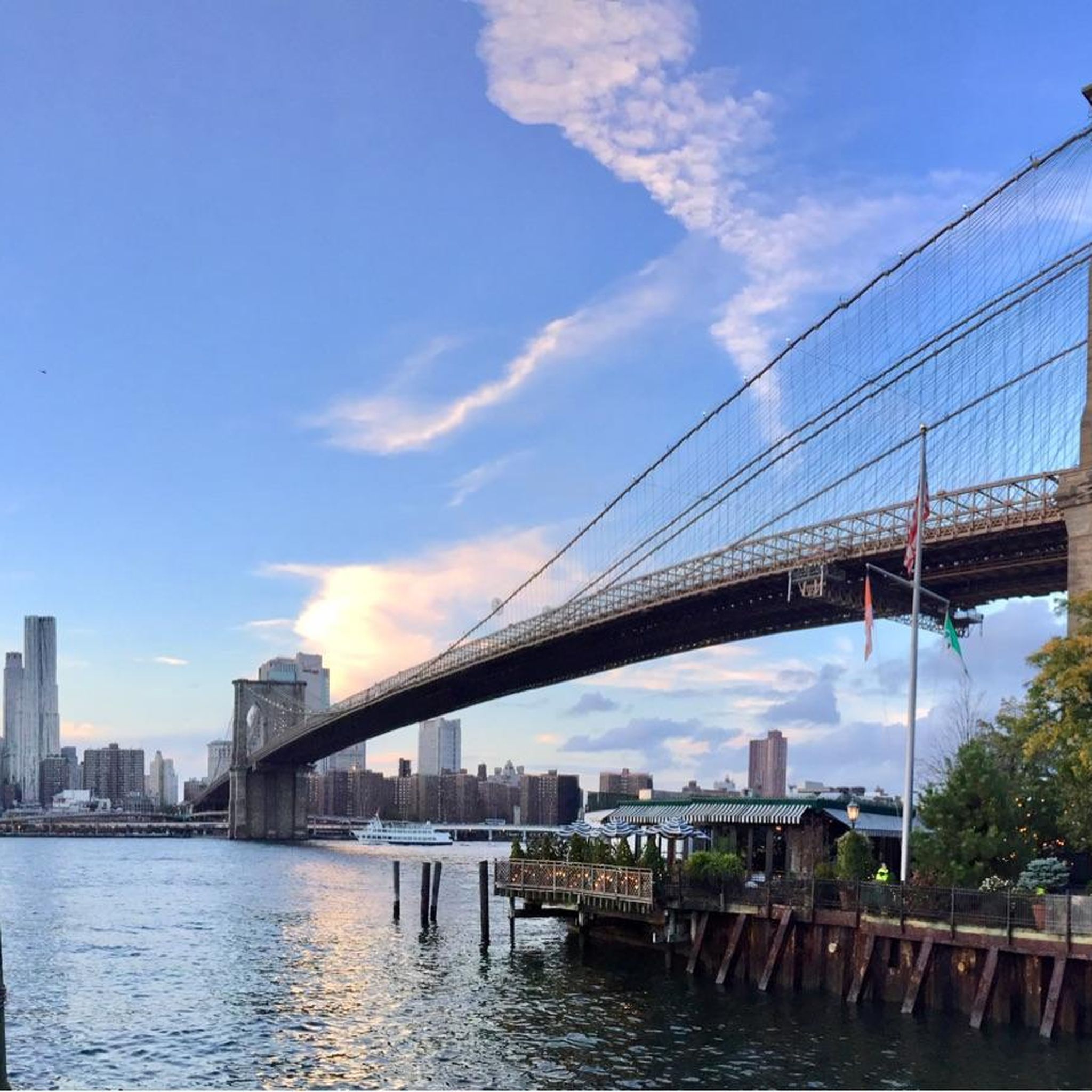
I recommend adding this bridge to your voyage by crossing on bicycle or walking. This is a pedestrian walkway with beautiful views.
1
0
This one of the best places to ride a bicycle. Not only is it beautiful but you can ride car-free for miles and miles.
0
0
Great park especially for cycling
0
0
Frequently Asked Questions
How many road cycling routes are available around West New York?
There are over 200 road cycling routes around West New York, offering a wide variety of experiences. This includes 130 easy routes, 42 moderate routes, and 29 difficult routes, catering to all skill levels.
What kind of terrain can I expect on road cycling routes in West New York?
Road cycling in West New York offers diverse terrain. You can find relatively flat, scenic rides along the Hudson River Waterfront Walkway, providing panoramic views of the New York City skyline. For more challenging rides, the dramatic Palisades cliffs to the north offer significant elevation changes and rugged woodlands.
Are there road cycling routes suitable for beginners in West New York?
Yes, West New York offers a good selection of routes for beginners. There are 130 easy routes available, many of which are likely found along the relatively flat Hudson River Waterfront Walkway, perfect for leisurely rides with scenic views.
What are some challenging road cycling routes in the West New York area?
For experienced cyclists seeking a challenge, the region offers 29 difficult routes. Notable challenging options include the Palisades Loop, which features significant elevation changes along the dramatic Palisades cliffs, and the S-Curve Hill beneath the George Washington Bridge – The Little Red Lighthouse loop from 66th Street–Lincoln Center, which connects to New York City and offers challenging terrain.
What scenic viewpoints or landmarks can I see while road cycling near West New York?
Many routes offer stunning views of the New York City skyline, including iconic landmarks like the Empire State Building and the Statue of Liberty, especially along the Hudson River Waterfront Walkway. You can also find routes that pass by significant attractions such as Times Square, the National September 11 Memorial & Museum, and the Brooklyn Bridge.
Are there any natural features to explore on road bike routes in West New York?
Absolutely. The most prominent natural features are the Hudson River itself and the dramatic Palisades cliffs. The Hudson River Waterfront Walkway provides extensive views of the river, while routes within the Palisades Interstate Park, such as Henry Hudson Drive, offer rugged woodlands and diverse ecosystems. You might also encounter highlights like the Jacqueline Kennedy Onassis Reservoir East Side or Harlem Meer on routes extending into nearby areas.
Is there parking available near road cycling routes in West New York?
While West New York is an urban area, parking options can be found. Many cyclists utilize street parking in residential areas or public parking garages. For routes accessing the Palisades Interstate Park, designated parking lots are available within the park itself. It's advisable to check specific route starting points for the most convenient parking.
How can I reach the road cycling routes in West New York using public transport with my bike?
West New York is well-connected by public transport. NJ Transit buses serve the area, and some routes may allow bikes during off-peak hours or with specific bike racks. Additionally, the Hudson-Bergen Light Rail connects West New York to other parts of Hudson County, and while bikes are generally permitted, restrictions may apply during peak times. For routes extending into NYC, the George Washington Bridge Bike Path provides a key connection.
What is the best time of year to go road cycling in West New York?
The spring and fall months generally offer the most pleasant conditions for road cycling in West New York, with mild temperatures and beautiful scenery. Summer can be hot and humid, especially in the urban areas, while winter can bring cold temperatures and potential snow or ice, making some routes less accessible. Early mornings are often ideal during warmer months to avoid heat and crowds.
Are there family-friendly road cycling routes in West New York?
Yes, the region offers family-friendly options, particularly along the Hudson River Waterfront Walkway. This path is relatively flat, paved, and designed for shared use, making it suitable for families and casual riders. Local parks like Donnelly Memorial Park also offer green spaces for more relaxed cycling, though they may not be extensive road cycling routes.
Can I bring my dog on road cycling routes in West New York?
While many parks in the area are dog-friendly, road cycling routes, especially those on shared paths or roads, are generally not ideal for dogs unless they are in a trailer or basket. The Hudson River Waterfront Walkway is a shared-use path where leashed dogs are often permitted, but always check specific park regulations. For safety, it's best to consider dedicated dog-walking trails if you wish to bring your pet.
Are there cafes or places to stop for refreshments along the road cycling routes?
Given West New York's urban setting and proximity to other municipalities, you'll find numerous cafes, restaurants, and convenience stores along or near many road cycling routes. Especially along the Hudson River Waterfront Walkway and in areas connecting to New York City, there are ample opportunities to stop for refreshments, grab a meal, or refill water bottles.
What do other road cyclists say about the routes in West New York?
The road cycling routes around West New York are highly rated by the komoot community, with an impressive average score of 4.7 stars from over 270 reviews. Cyclists often praise the diverse terrain, from the stunning skyline views along the Hudson River to the challenging climbs in the Palisades, and the variety of routes catering to different skill levels.
Most popular routes around West New York
Most popular attractions around West New York

Get inspired with the komoot mobile app


Explore more
Browse the best Road cycling routes in other regions.
