The best road cycling routes around Franklin
15
riders
5
rides
Road cycling routes around Franklin are characterized by rolling hills, river valleys, and scenic conservation areas. The region offers diverse terrain, from routes along the Merrimack River to paths winding through forested landscapes and past lakes. Cyclists can expect varied elevation changes, providing both challenging climbs and more moderate sections. The area's natural features include several rivers and ponds, contributing to picturesque routes.
Best road cycling routes around Franklin
- The most popular road cycling route is Canterbury – Road along…
Last updated: July 7, 2026
2
riders
52.4km
02:20
500m
500m
This 32.5-mile road cycling route offers views of the Merrimack River, but be aware that Kimball Pond trails are not suitable for road bikes
4
riders
41.9km
02:02
620m
620m
Moderate road ride. Good fitness required. Mostly well-paved surfaces and easy to ride.

Sign up for free
3
riders
46.1km
02:16
600m
600m
Moderate road ride. Good fitness required. Mostly well-paved surfaces and easy to ride.
2
riders
58.3km
02:39
660m
660m
Moderate road ride. Good fitness required. Mostly well-paved surfaces and easy to ride.
2
riders
23.5km
01:07
210m
210m
Easy road ride. Great for any fitness level. Mostly well-paved surfaces and easy to ride.
Our route recommendations are based on thousands of hikes, rides, and runs completed by other people on komoot.
Start today with a free account
Your next adventure awaits.
Login or Signup
Tips from the Community

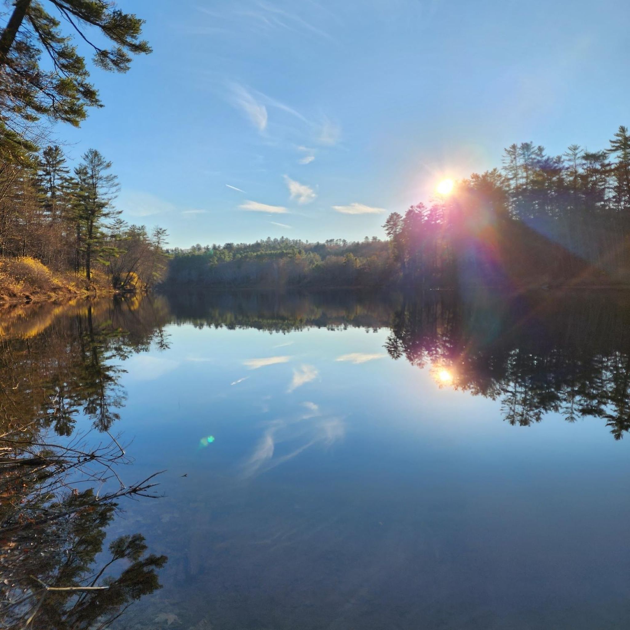
This river stretches for 10.5 miles and connects to Lake Winnipesaukee. The bridge at this point provides an elevated panoramic view of the waters, creating a perfect spot to take a break and enjoy the scenery.
0
0

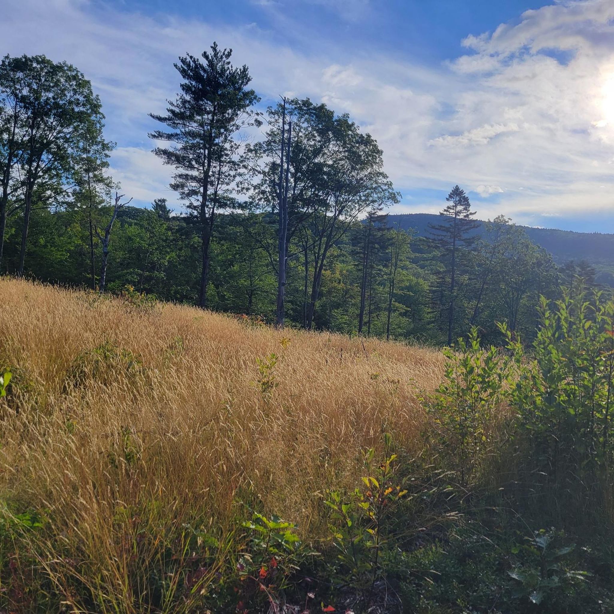
This stretch of road runs along quite close to the Northern Rail Trail and, just on the other side of it, Merrimack River. Some road bikers find the crushed-stone suitable surface of the rail trail imminently bikeable but, if you're not comfortable taking your tires on that, the road sticks pretty close to the trail — and the river — for a good while.
0
0

Kimball Pond Conservation Area is a 965-acre park with rolling hills, ponds, and creeks. It is an important home to rare species like the Pied Billed Grebe and Blandings Turtle. You are likely to spot some wildlife along your ride.
0
0

The Winni Trail is a paved scenic lakeside bike path that joins with the WOW (Winnipesaukee-Opechee-Winnisquam) Trail near the Laconia Bypass. Across from the bypass is the Leslie E. Roberts Beach, which makes for a nice destination.
0
0
Frequently Asked Questions
What kind of terrain can I expect on road cycling routes around Franklin?
Road cycling routes around Franklin are characterized by rolling hills, river valleys, and scenic conservation areas. You'll find varied elevation changes, offering both challenging climbs and more moderate sections, with picturesque views along rivers like the Merrimack and past various ponds.
Are there routes suitable for beginners or those looking for an easier ride?
While the guide features 5 moderate and 2 difficult routes, the region's network offers options for different ability levels. For a moderate ride that still offers scenic views, consider the Squam River Covered Bridge – Winnepesaukee River loop from Ashland, which covers 56.6 miles.
Which routes offer the most challenging road cycling experience in Franklin?
For a more challenging ride, the Canterbury – Road along Merrimack River loop from Bradleys Island is a difficult 61.5-mile trail featuring significant elevation gain along the Merrimack River, taking nearly 5 hours to complete.
What natural features or landmarks can I see along the road cycling routes?
Many routes offer views of natural features like the Merrimack River and the Winnepesaukee River. You can also pass by areas such as the Kimball Pond Conservation Area and the Webster Lake Public Beach and Covered Bridge. The Merrimack River and Kimball Pond Conservation Area loop specifically leads through river valleys and conservation land.
Are there any circular road cycling routes available?
Yes, many of the routes around Franklin are designed as loops. Examples include the Merrimack River and Kimball Pond Conservation Area loop, the Winni Trailhead loop from Salmon Brook, and the Sargent Lake loop from Currier-Sanborn Conservation Area, all offering scenic circular rides.
What do other cyclists say about road cycling in Franklin?
Over 17 road cyclists have used komoot to explore Franklin's varied terrain. While specific ratings are not available for this guide, the routes are highly regarded for showcasing the best of the region's landscape, with many enjoying the rolling hills and scenic river paths.
Are there any specific towns or settlements worth exploring along the routes?
Some routes pass through or near charming settlements. For instance, the Canterbury – Road along Merrimack River loop starts near Canterbury, a historic town that can be a point of interest during your ride.
What is the best season for road cycling in Franklin?
The region's landscapes, with rivers and forested areas, are particularly beautiful during spring and fall. While not explicitly stated, these seasons typically offer pleasant temperatures and vibrant scenery, making them ideal for road cycling. Winter cycling might be challenging due to weather conditions.
Are there any trails that are suitable for families or less experienced riders?
While the listed routes are moderate to difficult, the region does offer diverse terrain. For family-friendly options, you might look for paved trails or greenways within local parks, which often provide a less strenuous experience. The Northern Rail Trail (near Webster Lake) and the Winnipesaukee River Trail are multi-use trails that could offer easier sections, though their full extent might vary in difficulty.
Where can I find parking for these road cycling routes?
Specific parking information for each route is best found on the individual route pages. However, many routes that start from towns or conservation areas typically have designated parking facilities. For example, routes like the Sargent Lake loop starts near the Currier-Sanborn Conservation Area, which likely offers parking.
Are there any other outdoor activities to combine with road cycling in the Franklin area?
Beyond road cycling, the Franklin area offers opportunities to enjoy its natural beauty. You can explore lakes like Franklin Lake, visit the Kimball Pond Conservation Area for hiking, or relax at the Webster Lake Public Beach. The region's rivers and trails also provide options for walking and enjoying nature.
Most popular routes around Franklin
Most popular attractions around Franklin

Get inspired with the komoot mobile app


Explore more
Browse the best Road cycling routes in other regions.
