The best cycling routes around Washoe Valley
5.0
(1)
29
riders
5
rides
Touring cycling routes around Washoe Valley are situated between the Sierra Nevada and Carson ranges, offering diverse landscapes. The region features Washoe Lake and its surrounding wetlands, along with unique sand dunes. Beyond the lake, the terrain transitions to pine-covered foothills and meadows, providing varied scenery for cyclists. Mountain backdrops frame the valley, contributing to the scenic grandeur.
Best touring cycling routes around Washoe Valley
- The most popular touring cycling route is Washoe Valley Loop, a 21.3 miles (34.3…
Last updated: September 28, 2026
5.0
(1)
8
riders
34.3km
02:00
160m
160m
Moderate bike ride. Good fitness required. Mostly paved surfaces. Suitable for all skill levels.
7
riders
Moderate bike ride. Good fitness required. Mostly paved surfaces. Suitable for all skill levels.

7
riders
11.3km
01:21
430m
420m
Moderate bike ride. Good fitness required. Mostly paved surfaces. Suitable for all skill levels.
3
riders
Moderate bike ride. Good fitness required. Mostly paved surfaces. Suitable for all skill levels.
4
riders
31.2km
03:10
860m
860m
Hard bike ride. Very good fitness required. Mostly paved surfaces. Suitable for all skill levels.
Our route recommendations are based on thousands of hikes, rides, and runs completed by other people on komoot.
Start today with a free account
Your next adventure awaits.
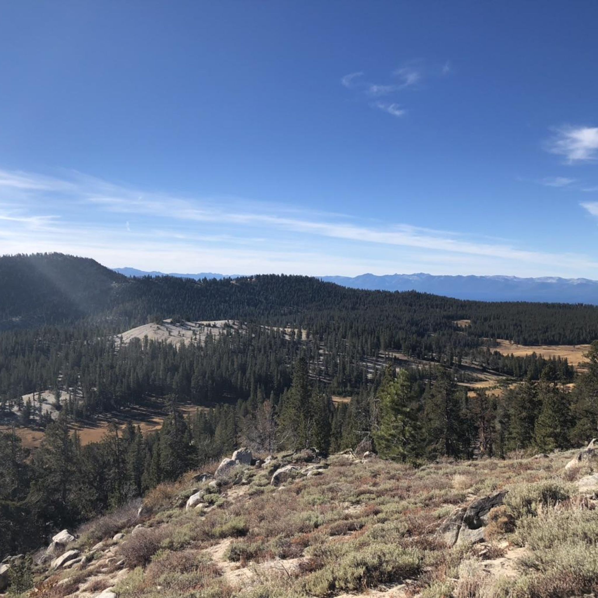
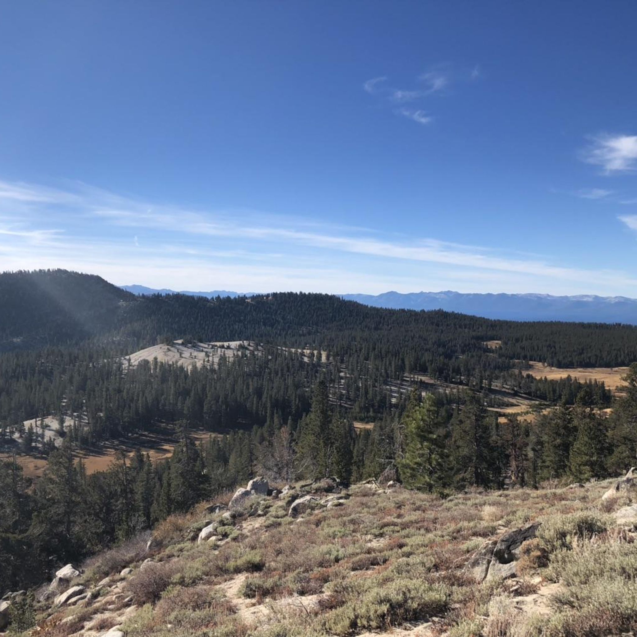
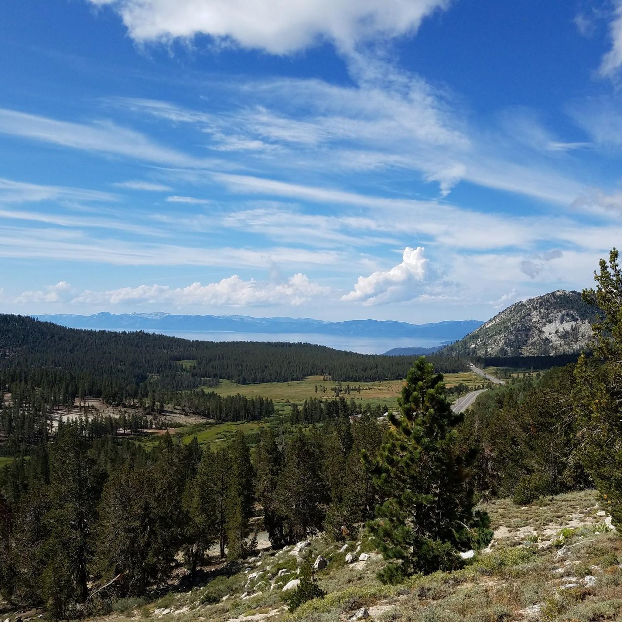
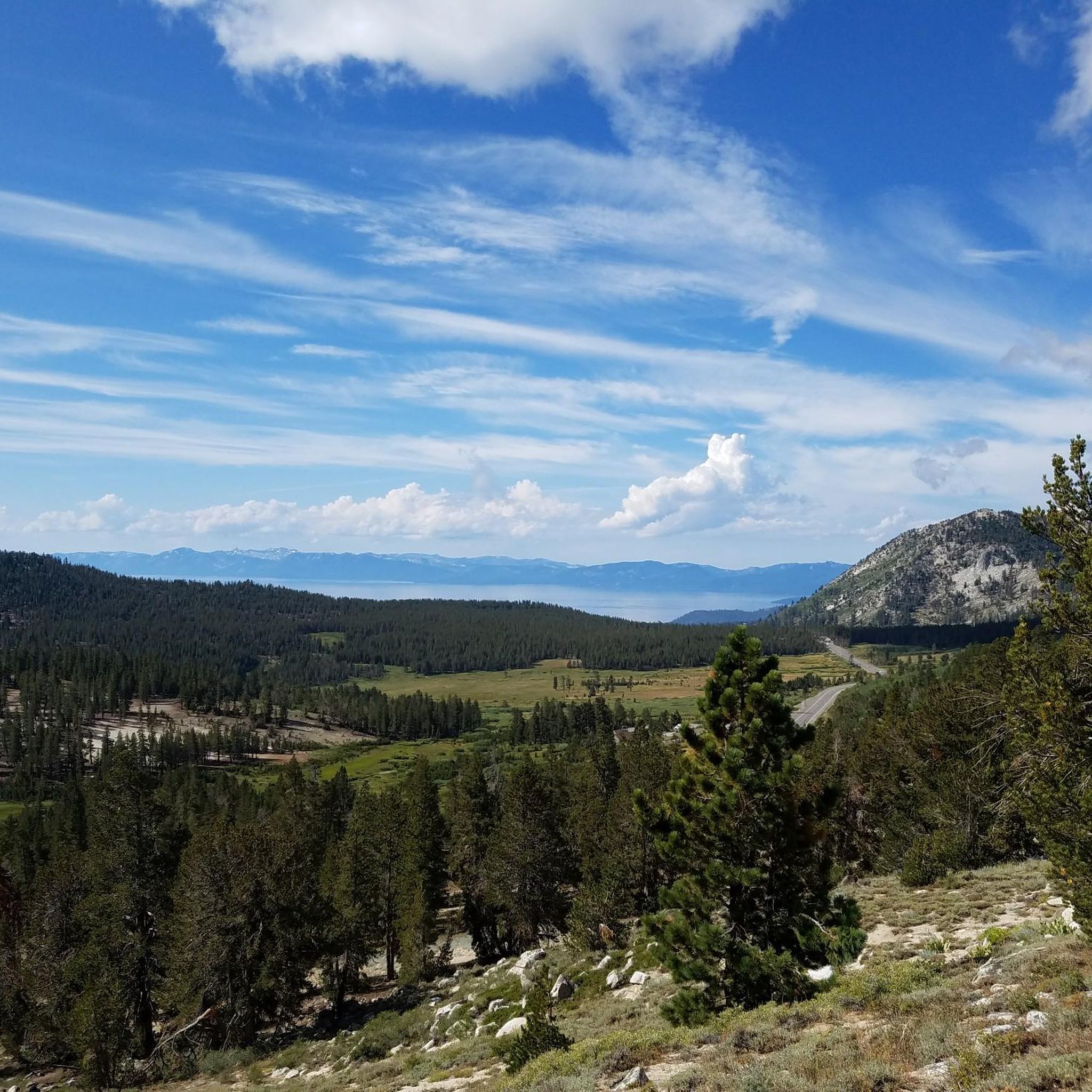
Tips from the Community

This bikeway is popular with cyclists, runners, and walkers alike. Set apart from the highspeed traffic on Veterans Parkway, you can take in the scenery that includes wetlands, mountains, migratory birds, and more often than not, wild horses too. The only drawback is the distinct lack of shade, so mornings and evenings are best for summer runs.
0
0

Galena Creek Regional Park is the starting point for a lot of popular hikes in the area. It's also a great spot to start and finish a ride on Mount Rose Highway. There are restrooms at the visitor's center and access to a few different paved and gravel roads that are a great for riding.
0
0
The trail follows along the creek in a steady incline. Nothing too technical but you'll feel it on the climb and enjoy it on the way down. Just check your speed as this is a popular trail for hikers. If you can, try to visit here in autumn. You'll be treated with a show as the turning leaves can be incredible.
0
0
Getting to Dry Pond is a challenge no matter which direction you approach it from. A good climb will be rewarded with an open meadow and views of the Mt Rose Wilderness. Seasonal wildflowers can also be found here, and it's a good spot to stretch before tackling the downhill portion of the loop.
0
0
In contrast to the upper section of trail, which winds its way through pine forests, Lower Tomas Creek is generally traversing the familiar rock and sagebrush of the high desert. For this reason you'll need to be prepared for intense sun during midday. It might be best to save this section for a morning or evening run during the summer.
0
0
Lower Whites Creek Trail starts out in the sage brush of the high desert before reaching the trees near the aptly named Timberline Drive. From there you could continue uphill until you reach the boundary of the Mt Rose Wilderness (where bikes are prohibited) or take one of a few trails downhill.
0
0
The visitor center is a good resource for any visitors to the park. They offer a number of guided hikes and ranger lead programs, as well as restrooms & water to set your right before your hike.
0
0
Frequently Asked Questions
How many touring cycling routes are available in Washoe Valley?
There are 5 touring cycling routes around Washoe Valley, offering a mix of moderate and difficult options for cyclists.
What kind of terrain can I expect on touring cycling routes in Washoe Valley?
Washoe Valley's touring cycling routes feature diverse landscapes, from the flat, marshy wetlands around Washoe Lake to pine-covered foothills and meadows closer to the Sierra Nevada. You'll encounter mostly paved paths on routes like the Washoe Valley Loop, but also varied terrain with significant elevation gain on more challenging rides such as the Dry Pond loop from Montreux.
Are there any family-friendly touring cycling options in Washoe Valley?
While the listed routes are generally moderate to difficult, the region offers diverse cycling experiences. The Washoe Valley Loop is described as mostly paved and suitable for various skill levels, making it a good option for families looking for a moderate ride. Washoe Lake State Park also has several miles of trails, some non-motorized, which can be suitable for family outings.
What natural features and landmarks can I see along the touring cycling routes?
Cycling in Washoe Valley offers stunning views of the Sierra Nevada and Carson ranges. You'll pass by Washoe Lake and its surrounding wetlands, which are crucial habitats for migratory birds. Other notable features include unique sand dunes within Washoe Lake State Park and pine-covered foothills. You might also spot wildlife such as deer, coyotes, hawks, eagles, and various bird species. Historic sites like Bowers Mansion are also in the area.
What is the best time of year to go touring cycling in Washoe Valley?
Washoe Valley enjoys an average of 300 days of sunshine annually, making it suitable for year-round outdoor activities. Spring and fall generally offer pleasant temperatures for cycling, while summer can be warm. Winter cycling is possible, but conditions may vary, especially in higher elevations closer to the Sierra Nevada.
Are there any circular touring cycling routes in Washoe Valley?
Yes, several routes are designed as loops. A popular option is the Washoe Valley Loop, which is a 21.3-mile (34.3 km) trail. Other loop options include the Dry Pond loop from Montreux and the Dry Pond – Lower Thomas Creek Trail loop from Galena High School.
What do other touring cyclists enjoy most about touring cycling in Washoe Valley?
The touring cycling routes in Washoe Valley are highly rated by the komoot community, with an average score of 5.0 stars. Cyclists often praise the diverse mountain backdrops, serene lake views, and the varied terrain that transitions from wetlands to pine-covered foothills.
Where can I find parking for touring cycling routes in Washoe Valley?
Washoe Lake State Park offers amenities including campgrounds and picnic sites, which typically include parking. For routes accessing the Sierra Nevada foothills, you might find parking at locations like the Mt Rose Summit Plaza - Tahoe Rim Trailhead or near schools like Galena High School, depending on the specific route's starting point.
Are there any less crowded touring cycling routes in Washoe Valley?
While specific crowd levels can vary, exploring routes further into the pine-covered foothills or less-trafficked sections of parks like Davis Creek Regional Park might offer a more secluded experience compared to the main attractions around Washoe Lake. The region's extensive network provides options to find quieter paths.
What wildlife might I encounter while cycling in Washoe Valley?
Washoe Valley is rich in wildlife. Cyclists often have opportunities to observe deer, coyotes, hawks, and eagles. The wetland areas around Washoe Lake are particularly good for birdwatching, with species like pelicans, great blue herons, and white-faced ibis. Wild horses can also be seen roaming the eastern hills.
Are there any challenging touring cycling routes for experienced riders?
Yes, Washoe Valley offers several challenging routes. The Dry Pond loop from Montreux is a difficult 10.4-mile (16.7 km) path with significant elevation gain. Another demanding option is the Dry Pond – Lower Thomas Creek Trail loop from Galena High School, which is 19.4 miles (31.2 km) long and also rated as difficult.
Can I access other major cycling trails from Washoe Valley?
Yes, Washoe Valley is conveniently located near other significant cycling opportunities. Spooner Lake, part of Lake Tahoe Nevada State Park, is close by and offers access to segments of the renowned Tahoe Rim Trail and Flume Trail. Additionally, the extensive Tahoe-Pyramid Trail, a 114-mile route connecting Lake Tahoe to Pyramid Lake, has sections passing through the wider Reno area, providing diverse terrain for longer tours.
Most popular attractions around Washoe Valley

Get inspired with the komoot mobile app


Explore more
Browse the best Cycling routes in other regions.
