The best walks and hikes around Summerlin South
4.8
(180)
2,928
hikers
101
hikes
Hiking around Summerlin South offers access to diverse desert landscapes, notably the Red Rock Canyon National Conservation Area with its dramatic red sandstone cliffs and extensive trail network. The region combines natural desert beauty with meticulously maintained recreational spaces and parks. This master-planned community features a variety of trails, from urban paths and village trails in natural arroyos to more rugged desert routes. The terrain includes both flat sections and elevated areas, providing varied experiences for hikers.
Best hiking trails around Summerlin South
- The most popular hiking route is Cottonwood Canyon Trail, a 3.5 miles (5.7 km) trail that takes 1 hour 30 minutes to complete. This easy route winds through serene, well-maintained trails amidst diverse flora and fauna.
- Another top favourite among local hikers is Morgan's Mile to Flagpole Loop, a moderate 4.7 miles (7.6 km) path. This route offers varied terrain and views of the surrounding desert landscape.
- Local hikers also love the Paseos and Fox Hill Parks Path, a 2.9 miles (4.6 km) trail leading through urban parkland with panoramic views, often completed in about 1 hour 14 minutes.
- Hiking around Summerlin South is defined by desert landscapes, sandstone formations, and well-maintained park trails. The network offers options for easy walks, moderate excursions, and more challenging routes.
- The routes in Summerlin South are highly rated by the komoot community with an average score of 4.8 stars from over 160 reviews. More than 2,600 hikers have used komoot to explore Summerlin South's varied terrain.
Last updated: September 28, 2026
5.0
(1)
14
hikers
5.66km
01:30
50m
70m
Embark on an easy hike along the Cottonwood Canyon Trail, a 3.5-mile (5.7 km) route that winds through a scenic desert landscape. You will experience a gentle elevation gain of 162 feet (49 metres) over approximately 1 hour and 30 minutes. As you follow the path, you can observe unique desert flora and fauna, making for a peaceful and relaxed outing.
Planning your visit is simple, with parking typically available directly at Cottonwood Canyon Park, ensuring easy access to the trailhead. The trail is well-maintained and suitable for hikers of all skill levels, offering a welcoming experience for everyone. Consider an early start to make the most of cooler temperatures and enjoy the tranquility of the canyon.
The Cottonwood Canyon area is a prime example of a thriving desert ecosystem, showcasing the resilience and beauty of life adapted to arid conditions. This route offers a quiet immersion into nature, allowing you to appreciate the distinct natural environment of the region. It stands out as an accessible way to connect with the unique character of the desert.
13
hikers
4.59km
01:14
50m
50m
Embark on an easy hike along the Paseos and Fox Hill Parks Path, a pleasant route that winds through well-maintained paths in a beautiful desert landscape. This trail covers 2.9 miles (4.6 km) with a gentle elevation gain of 173 feet (53 metres), offering picturesque panoramic views of the Las Vegas Strip and the surrounding valley. You will also pass through Fox Hill Park, home to adventure play features and the distinctive 32-foot climbing tower known as "The Orange Beast"; plan for about 1 hour and 13 minutes to complete your journey.
When planning your visit, you will find parking generally available within the community parks, making access straightforward. This route is particularly suitable for families looking for an accessible outdoor experience. For the most striking views, consider starting your hike during sunrise or sunset, when the desert light enhances the distant cityscapes.
This path is part of a larger, interconnected system of trails located within The Paseos Village of Summerlin. Its integration into the community makes it a convenient option for local residents and visitors alike. The trail's design ensures a smooth experience, blending natural beauty with urban convenience and recreational amenities.

5.0
(2)
8
hikers
7.56km
02:09
180m
180m
Embark on the Morgan's Mile to Flagpole Loop, a moderate hike that takes you deep into the desert landscape. This route covers 4.7 miles (7.6 km) and involves a climb of 592 feet (180 metres), offering a rewarding experience without being overly strenuous. You can expect to complete the loop in about 2 hours and 9 minutes, enjoying expansive 360-degree views as you go.
When planning your visit, remember that this trail is dog-friendly and accessible year-round. However, if you are hiking during the hot summer months, it is highly recommended to begin your journey early in the morning. There is very little shade along the route, so an early start will help you avoid the midday heat.
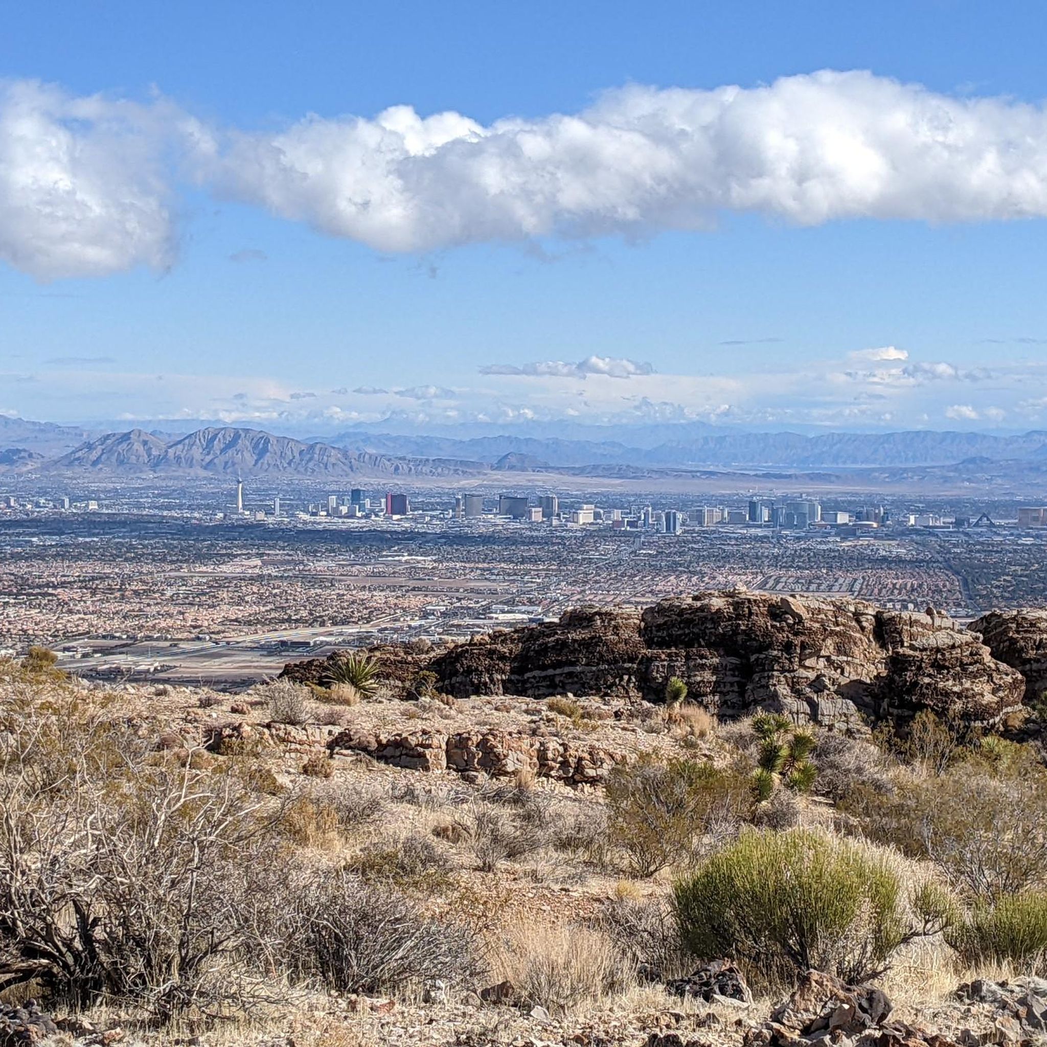
As you ascend, you will leave urban development behind and find yourself immersed in the natural desert environment. The trail provides unique perspectives, with views of the Las Vegas Strip and Valley on one side and the rugged Red Rock Canyon and Spring Mountains on the other. The highlight is reaching the top of the hill where a flagpole stands, marking a fantastic viewpoint.
3
hikers
6.83km
01:47
50m
40m
Embark on the Peccole Ranch Loop for an easy hike spanning 4.2 miles (6.8 km), offering a refreshing escape from the typical desert scenery. You will experience a gentle elevation gain of 162 feet (49 metres) over an estimated 1 hour and 46 minutes, making this a relaxing option for all skill levels. The paved route winds through lush green spaces, providing plenty of shade, mature trees, and vibrant flowers, with charming features like "Birdhouse Alley" adding unique visual interest to your journey.
This accessible trail is thoughtfully integrated into a planned neighborhood, ensuring easy access for your visit. You will find it to be a family-friendly environment, perfect for a leisurely stroll or a quick outdoor workout. The route is also pet-friendly, with convenient amenities such as clean-up bags and trash cans available along the way, and underpasses help you cross busy streets without interruption, maintaining a continuous nature walk.
The Peccole Ranch Loop stands out as a unique green oasis within the Las Vegas area, providing a welcome contrast to the surrounding desert landscape. Its distinctive "Birdhouse Alley" is a notable feature, attracting various local bird species and offering a delightful point of interest for hikers. This well-maintained loop provides a serene setting with picturesque lakes, making it an ideal choice for those seeking a peaceful and convenient outdoor experience close to urban amenities.
2
hikers
2.02km
00:31
10m
10m
Step onto the Red Ridge Park Trail for an easy hike that offers a refreshing escape into nature. This 1.3-mile (2.0 km) route features a gentle ascent of just 30 feet (9 metres), making it a comfortable walk that typically takes around 31 minutes to complete. As you follow the path, you will encounter striking red rock formations beautifully contrasted with areas of lush greenery, providing a scenic desert experience.
Planning your visit to the park is straightforward, with convenient parking readily available directly at the trailhead. The well-maintained path ensures easy access, allowing you to begin your hike without any hassle. This makes it an ideal choice if you are looking for a quick and accessible outdoor activity.
This trail stands out as a tranquil natural retreat conveniently located near the vibrant city of Las Vegas. It offers a unique opportunity to immerse yourself in the desert ambiance and enjoy the quiet beauty of the landscape, providing a perfect balance between urban proximity and natural serenity.
Get access to more routes and recommendations from other explorers.
Already have an account?
Our route recommendations are based on thousands of hikes, rides, and runs completed by other people on komoot.
Start today with a free account
Your next adventure awaits.
Tips from the Community

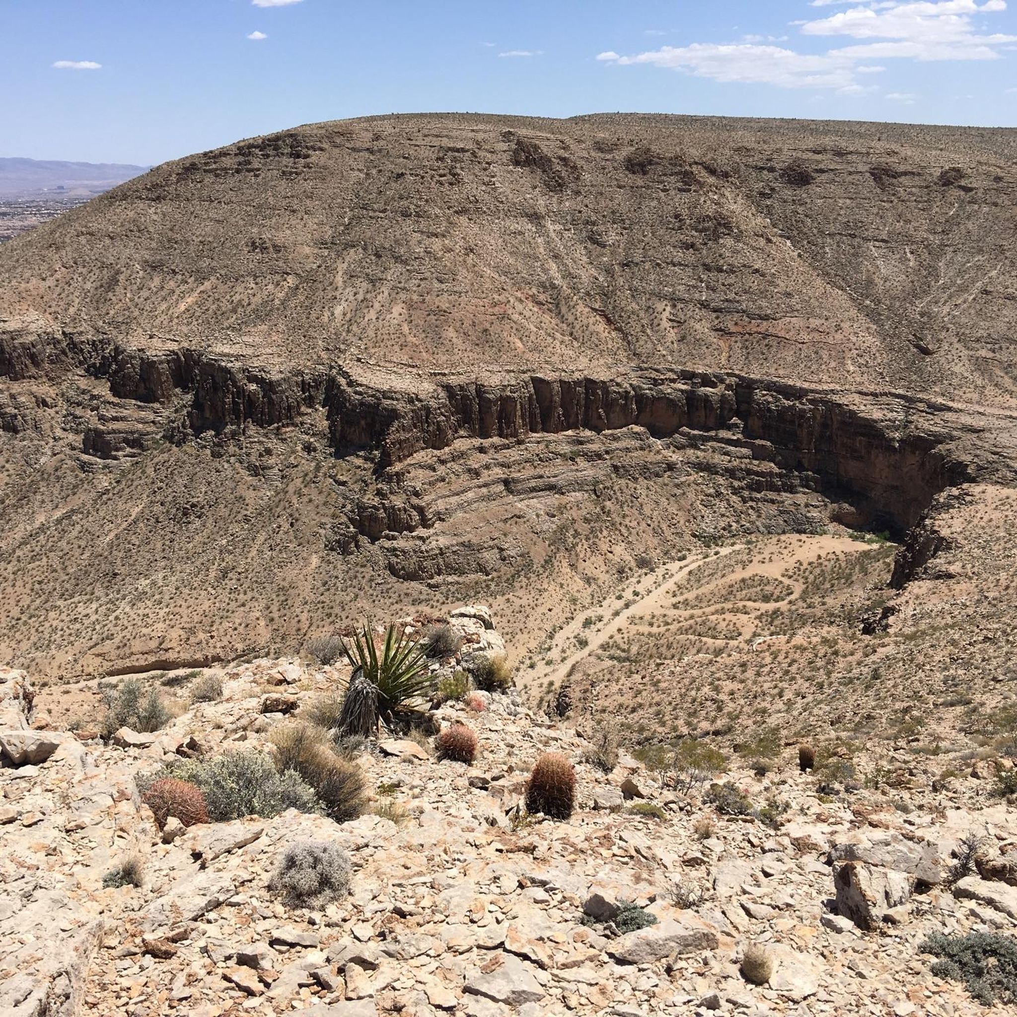
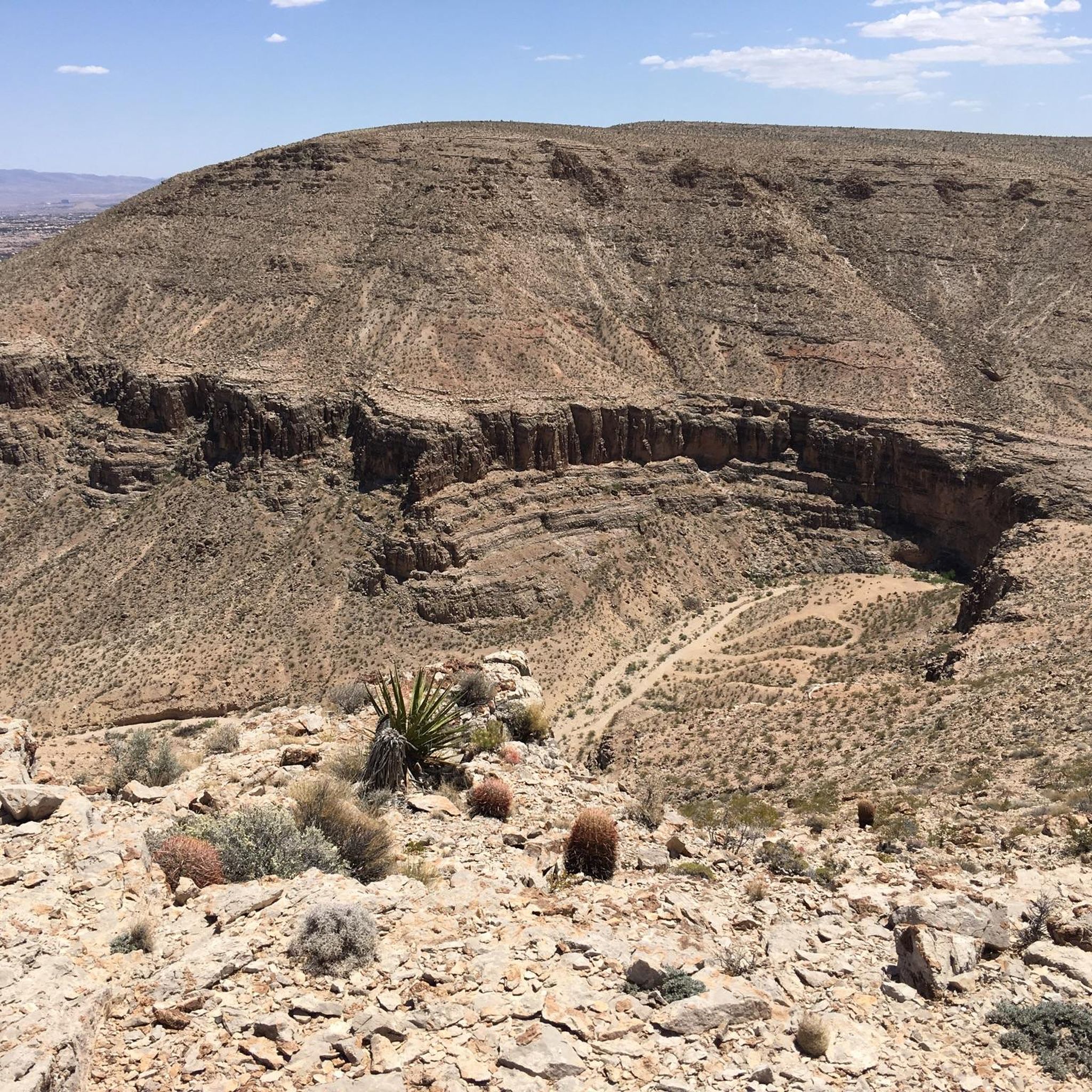
Cottonwood Canyon is a popular urban park in Summerlin. The path is well maintained and well signed. The path is paved and the scenery alternates between grassy and desert.
0
0

Frequently Asked Questions
How many hiking trails are available around Summerlin South?
Summerlin South offers a wide variety of hiking opportunities, with over 70 trails recorded on komoot. These range from easy strolls to more challenging routes, catering to different skill levels.
What kind of terrain can I expect on hikes near Summerlin South?
The terrain around Summerlin South is predominantly desert landscape, characterized by vibrant sandstone formations, especially within the Red Rock Canyon National Conservation Area. You'll find a mix of well-maintained park trails, urban paths, and more rugged desert routes, with both flat sections and elevated areas offering varied experiences.
What is the best time of year to go hiking in Summerlin South?
The best time to hike in Summerlin South and the surrounding Red Rock Canyon area is typically from October to May, when temperatures are milder. During the peak season (October 1 to May 31), timed entry reservations are required for the Red Rock Canyon Scenic Drive. Summer months can be very hot, making early morning or late evening hikes preferable.
Are there easy hiking options suitable for beginners or families in Summerlin South?
Yes, Summerlin South has many easy hiking options perfect for beginners or families. For example, the Cottonwood Canyon — Clark County trail offers serene, well-maintained paths amidst diverse flora. Another great choice is the Desert Breeze Park loop — Las Vegas, which is a large urban park with easy walking trails. The Mesa Park Loop trail also provides both flat and elevated sections suitable for all skill levels.
Are there more challenging hikes for experienced trekkers near Summerlin South?
For experienced trekkers, the Red Rock Canyon National Conservation Area offers more challenging routes. Trails like Turtlehead Peak lead to limestone peaks with panoramic views. While not listed as difficult in the provided komoot data, the region generally offers more strenuous options beyond the easy and moderate trails, especially within the Red Rock Canyon area.
Can I bring my dog on the hiking trails in Summerlin South?
Many trails in and around Summerlin South are dog-friendly. Within the Red Rock Canyon National Conservation Area, dogs are permitted on trails, but must be kept on a leash. They are generally not allowed in buildings or the visitor center. Always check specific park regulations before heading out with your pet.
Are there any circular hiking routes in Summerlin South?
Yes, there are several circular hiking routes available. For example, the Cannibal Crag – Calico Spring loop from Red Rock Canyon Visitor Center and the Red Spring Picnic Area – Calico Basin Trail loop from Red Rock Canyon Visitor Center are popular moderate loop options within the Red Rock Canyon area. Mesa Park also features a 2.5-mile Mesa Park Loop trail.
What interesting landmarks or viewpoints can I see along the hiking trails?
Hiking near Summerlin South offers access to several notable landmarks and viewpoints. Within the Red Rock Canyon area, you can explore the Calico Tanks Trail, which winds through towering sandstone hills, or reach Turtlehead Peak for panoramic views. The Red Rock Canyon Scenic Drive itself offers numerous scenic overlooks. You might also encounter the Sandstone Quarry, a unique man-made feature.
Is parking available at the trailheads in Summerlin South and Red Rock Canyon?
Yes, parking is generally available at trailheads and parks in Summerlin South. For the Red Rock Canyon National Conservation Area, there are designated parking areas along the 13-mile scenic drive. During peak season (October 1 to May 31), timed entry reservations are required for the Scenic Drive, which includes access to many trailheads. It's advisable to check the official BLM website for current parking and reservation requirements: blm.gov.
What do other hikers enjoy most about hiking in Summerlin South?
The hiking experiences in Summerlin South are highly rated by the komoot community, with an average score of 4.8 stars from over 140 reviews. Hikers often praise the diverse desert landscapes, the stunning sandstone formations, and the well-maintained network of trails that offer options for all skill levels, from urban paths to more rugged desert routes.
Are there any hidden gem hikes in Summerlin South?
While Red Rock Canyon is well-known, Cottonwood Canyon Park is often considered a 'hidden gem' within Summerlin. It offers a network of serene, well-maintained trails amidst diverse flora and fauna, making it ideal for those seeking a quieter experience away from the more crowded Red Rock Canyon trails.
Can I access trails in Summerlin South using public transport?
While Summerlin South has a public transport system, many of the more remote trailheads, especially within the Red Rock Canyon National Conservation Area, are best accessed by car. Some urban parks and trails within Summerlin itself, like Pueblo Park or Desert Breeze Park, might be more accessible via local bus routes.
Most popular attractions around Summerlin South

Get inspired with the komoot mobile app


Explore more
Browse the best Hikes in other regions.
