The best walks and hikes around Johnson Lane
5.0
(2)
52
hikers
11
hikes
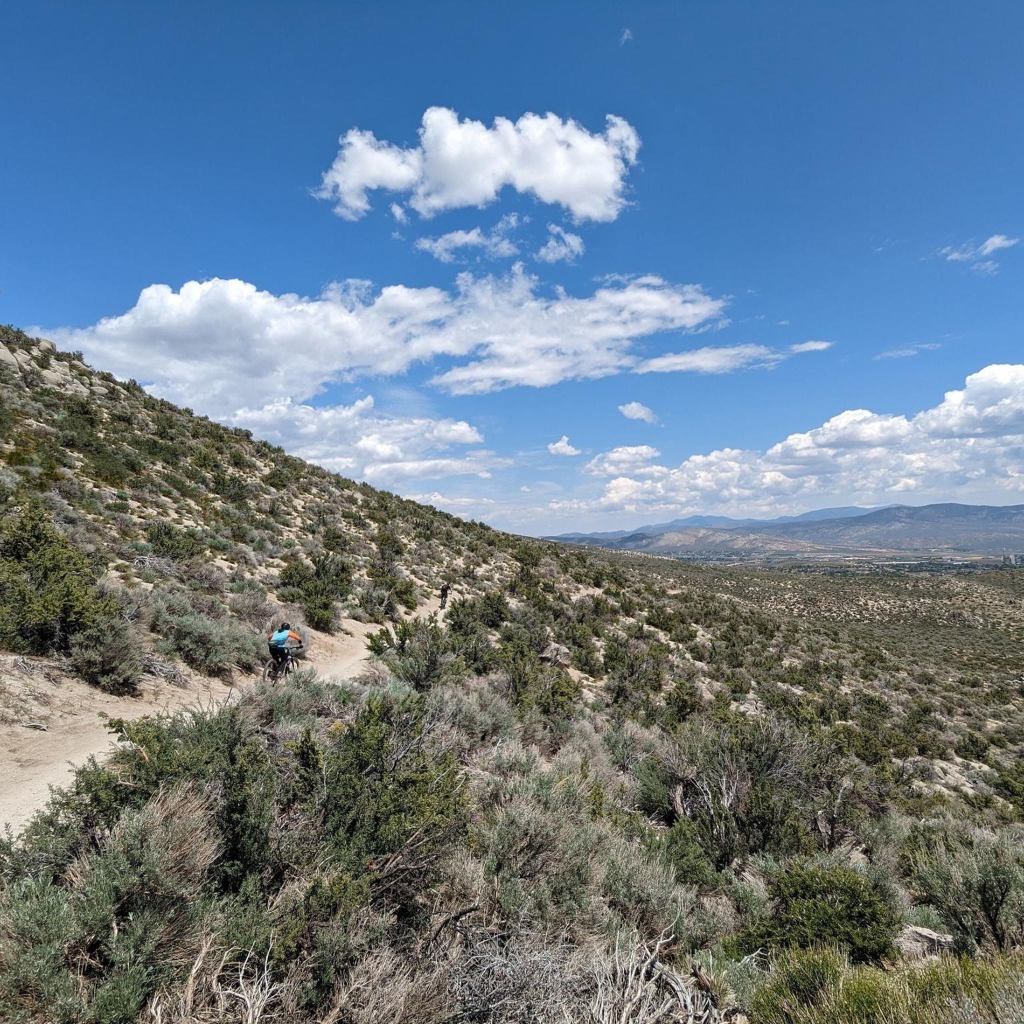
Hiking around Johnson Lane offers access to an extensive network of trails within the Pine Nut Mountains, providing diverse landscapes and scenic vistas. The region features a mix of mountain terrain with views of the Carson Valley and Sierra Nevada, alongside desert environments characterized by sandy and hard-packed dirt trails. Hikers can explore dry riverbeds and experience varied elevations, from gentle slopes to steeper climbs.
Best hiking trails around Johnson Lane
- The most popular hiking route is Hiking loop from…
Last updated: May 11, 2026
3
hikers
4.31km
01:33
370m
40m
Embark on the Genoa Loop Trail for a moderate hike offering expansive views of the Carson Valley and the Pine Nut Range. As you ascend the eastern face of the…
2
hikers
9.98km
03:10
490m
210m
Embark on the Genoa Loop, a moderate hiking route spanning 6.2 miles (10.0 km) with a significant elevation gain of 1611 feet (491 metres). This adventure typically takes around 3…

Sign up for free
10.4km
02:56
330m
50m
The Clear Creek Trail to Knob Point offers a moderate hiking experience through diverse landscapes, from chaparral to forests of Jeffrey Pine and aspen. As you ascend, you'll enjoy panoramic…
12
hikers
8.61km
02:49
380m
380m
Hike the moderate 5.4-mile Genoa Loop Trail for panoramic views of Carson Valley, Genoa Falls, and a rewarding 1247 feet of elevation gain.
5.0
(1)
2
hikers
5.13km
01:13
150m
150m
Hike the moderate 3.2-mile Jacks Valley Loop, offering panoramic views of Carson Valley and the surrounding mountains.
Get access to more routes and recommendations from other explorers.
Sign up for free
Already have an account?
Our route recommendations are based on thousands of hikes, rides, and runs completed by other people on komoot.
Start today with a free account
Your next adventure awaits.
Login or Signup
Other adventures around Johnson Lane

Tips from the Community


The small waterfall treats you with some cool, crystal-clear water and is a nice place to take a break. Genoa Falls is – along with the stunning views – one of the highlights along the Genoa Falls Loop.
2
0

The viewpoint offers nice views into the wide valley and to the mountainous landscape all around.
0
0

This spot is the highest point of the Coloma Trail. There's a nice view of Carson Valley from here.
1
0
This beautiful waterfall is located at the end of the trail. It is definitely worth the effort! Nice spot to relax for a while.
0
0

This point offers wonderful views of the surrounding mountains and Carson Valleys. The trail is suitable for dogs and people with varying skill levels. Keep shade under a hat or wear sunscreen to protect yourself from the sun because this trail will expose you to the sun and wind. Also, the trail was used by bicyclists and they can come around the bends quickly! For specific route: https://www.komoot.com/tour/354182104?ref=wtd
0
0
Frequently Asked Questions
What kind of terrain can I expect on hikes around Johnson Lane?
Hiking around Johnson Lane offers a diverse range of terrain. You'll find extensive multi-use trails within the Pine Nut Mountains, featuring both single and double tracks. The area also includes desert landscapes with sandy and hard-packed dirt trails, and you can even traverse dry riverbeds. Elevations vary from gentle slopes to steeper climbs, providing a varied experience.
Are there any easy hiking trails suitable for beginners in Johnson Lane?
Yes, Johnson Lane offers trails suitable for various skill levels, including easy options. For a gentle introduction, consider the Hiking loop from Genoa, which is an easy 3.7-mile route with gentle gradients.
Can I find trails with waterfalls in the Johnson Lane area?
Yes, you can! The Genoa Canyon Waterfalls – Humboldt Toyabe National Forest trail is a moderate 5.3-mile path that features varied terrain and elevation changes, leading to scenic waterfall views.
Are there any circular hiking routes available around Johnson Lane?
Absolutely. Several trails in the area are loops, perfect for a round trip. You can explore the easy Hiking loop from Genoa, the moderate Coloma Trail Loop – Humboldt Toyabe National Forest, or the Prison Hill Recreation Area loop — Carson City.
What are the best times of year to go hiking in Johnson Lane?
The mild temperatures in Minden, near Johnson Lane, make it conducive for outdoor activities throughout the year. While hiking is generally possible year-round, spring and fall often offer the most comfortable conditions with pleasant weather and vibrant scenery.
What kind of views can I expect on the trails?
Many trails in the Johnson Lane area offer stunning panoramic views. From the upper elevations of the Pine Nut Mountains, you can enjoy spectacular vistas of the beautiful Carson Valley and even the majestic Sierra Nevada mountains. Some trails also feature unique natural features like "Golden Eagle Rock".
Are the trails around Johnson Lane suitable for families with children?
Yes, the extensive trail network includes options for various ability levels. While some trails are more challenging, there are easy routes like the Hiking loop from Genoa that are suitable for families looking for a less strenuous walk.
What do other hikers say about the trails in Johnson Lane?
The hiking routes in Johnson Lane are highly rated by the komoot community, with an average score of 5.0 stars. Hikers often praise the diverse terrain, from mountain views to desert landscapes, and the variety of options available for different skill levels.
Are there any notable landmarks or points of interest to explore near the hiking trails?
Yes, the area around Johnson Lane offers several interesting points. You can explore the historic settlement of Genoa, or visit the Prison Hill Recreation Area. For those interested in scenic trails, the Clear Creek Trail is also nearby.
Are the trails multi-use, and what should I be aware of?
Yes, many trails in the Johnson Lane area, particularly within the Pine Nut Mountains, are multi-use. This means they are popular with hikers, equestrians, and off-highway vehicles (OHVs). Visitors are encouraged to respect other trail users and follow standard trail etiquette to ensure a safe and enjoyable experience for everyone.
Where can I find more information about the Johnson Lane trail system?
For additional details and resources about the Johnson Lane trail system, you can visit the Carson Valley tourism website. They offer information on various outdoor activities in the region, including hiking. Check out their resources at visitcarsonvalley.org.
Most popular routes around Johnson Lane
Most popular attractions around Johnson Lane

Get inspired with the komoot mobile app


Explore more
Browse the best Hikes in other regions.
