The best cycling routes around Sparks
4.7
(11)
312
riders
53
rides
Touring cycling around Sparks, Nevada, features diverse landscapes, including the Truckee River, the Sierra Nevada mountains, and various regional parks. The area offers a mix of paved paths and trails that traverse both urban edges and natural environments. Cyclists can find routes alongside waterways, through desert ecosystems, and with views of surrounding hills. The terrain ranges from flat, leisurely paths to more challenging routes with elevation changes.
Best touring cycling routes around Sparks
- The most popular touring cycling route is…
Last updated: September 27, 2026
5.0
(1)
22
riders
17.5km
01:10
90m
90m
Embark on an easy touring bicycle ride along the Tahoe-Pyramid Bikeway, a route that offers a pleasant journey following the Truckee River. This 10.9-mile (17.5 km) trail features diverse scenery,…
5.0
(1)
8
riders
45.0km
02:52
520m
520m
Embark on a challenging touring cycling adventure with the Reno to Verdi Bike Loop. This difficult route spans 27.9 miles (45.0 km) and involves a significant 1710 feet (521 metres)…

5
riders
3.04km
00:14
10m
10m
Embark on an easy touring cycling route around Sparks Marina, where you can enjoy a quick and accessible ride. This paved loop covers 1.9 miles (3.0 km) with a gentle…
3
riders
42.0km
02:29
150m
150m
Reno's Southeast Highlight Loop offers a moderate touring bicycle ride, blending urban and natural scenery. You'll cover 26.1 miles (42.0 km) with a gentle elevation gain of 495 feet (151…
19.4km
01:18
280m
280m
This 12.1-mile (19.4 km) moderate touring bicycle loop offers 925 feet (282 metres) of elevation gain, taking about 1 hour and 17 minutes.
Get access to more routes and recommendations from other explorers.
Already have an account?
Our route recommendations are based on thousands of hikes, rides, and runs completed by other people on komoot.
Start today with a free account
Your next adventure awaits.

Tips from the Community

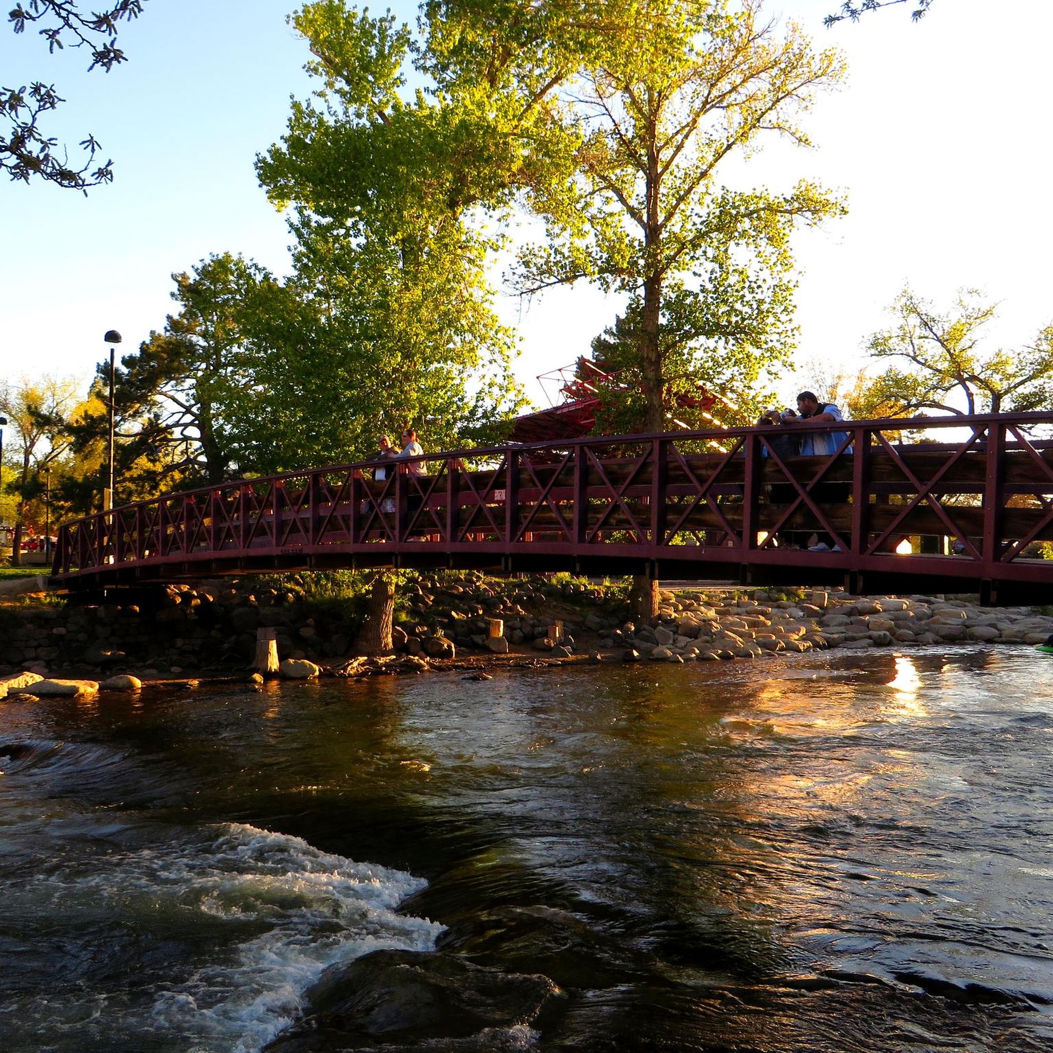
Really cool bridge across the Truckee river. There's picnic tables just off the bridge in a nice shaded area. You can access the river here as well which is a great way to cool off in the summer. The colors in the fall are stunning as well!
1
0
This popular riverside park has a wide paved path, river access, and many more trails across the river leading to Steamboat Ditch & beyond. Mayberry Park also lies along the Tahoe to Pyramid Cycleway which connects the two lakes while mostly paralleling the Truckee River.
0
0
Riverside Drive runs along the Truckee River through a historic neighborhood in West Reno. The treelined paths and sidewalks are stunning in autumn and busy with events and festivals throughout the summer. It can get crowded in summer so going for a morning or evening run will afford you more space.
0
0
Beautiful riverside park with shaded picnic areas and river access. Wonderful place to stop on a ride for a water break and to enjoy the scenery. Even on busier days there's enough room to not feel crowded.
0
0
This is a great spot to ride to with the family. The path is wide and flat so even when it's busy it's easy to navigate. Wonderful views all around and plenty of bird life due to all the water.
0
0
Small park connected to the larger Bartley Ranch park. Good spot to start/finish a ride with a picnic area and great views of the Truckee Meadows, Rattlesnake Mountain, & Downtown Reno.
0
0
Nice little park with a playground, skatepark, covered picnic/bbq area, and large field to let the kids and/or dogs run. There are toilets and water fountains here but they're usually closed during winter.
0
0
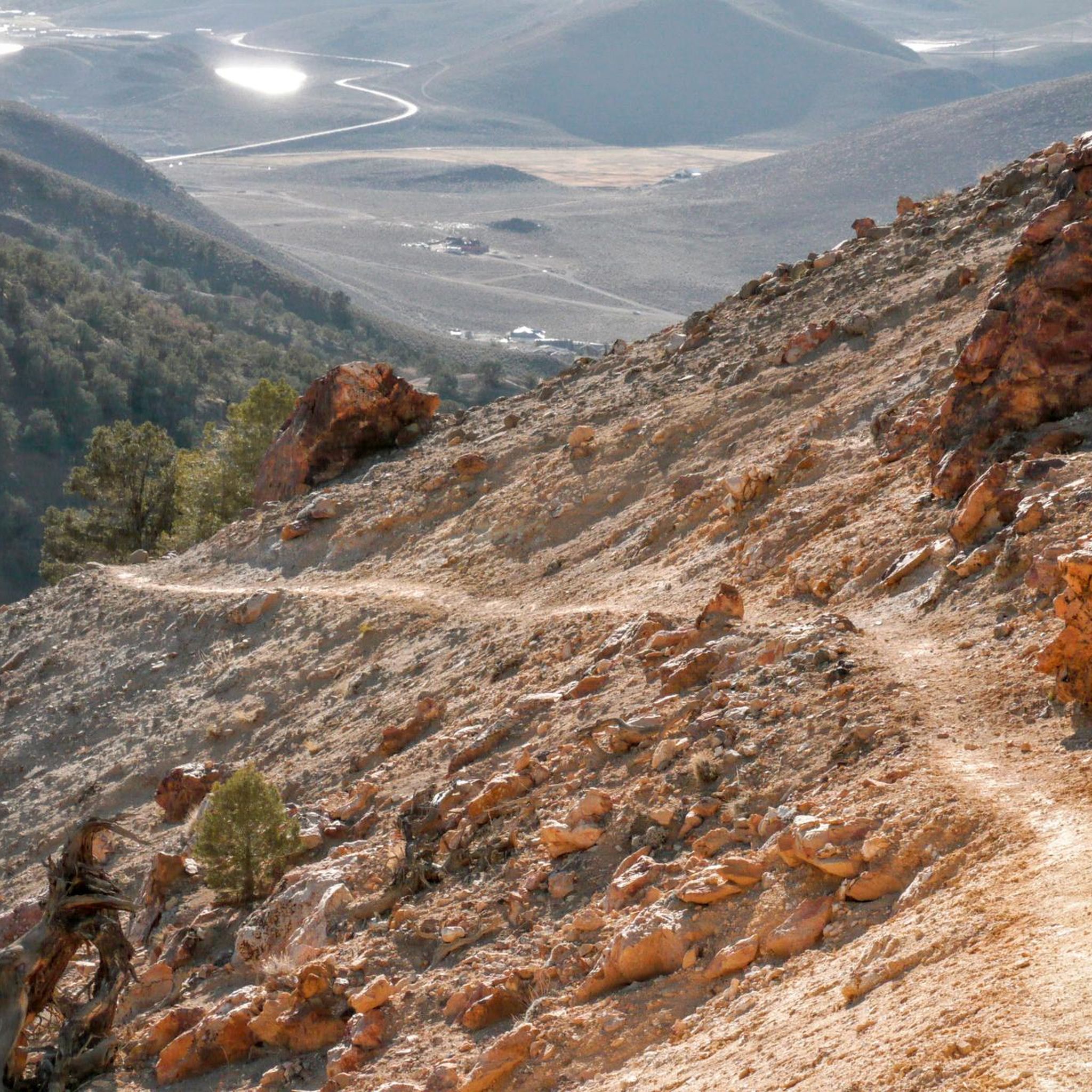
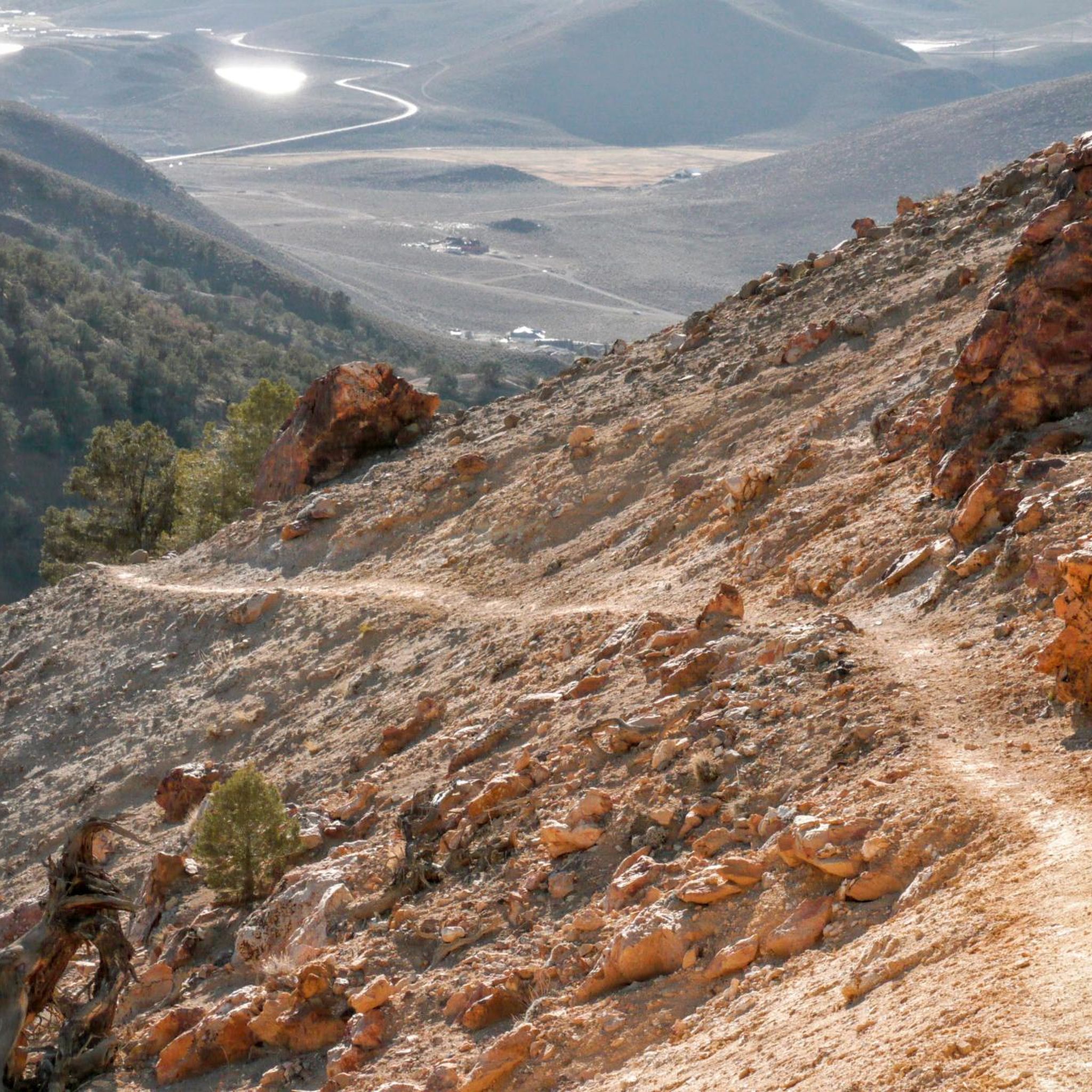
Excellent viewpoint on a quiet road in Northeast Sparks. Any ride around Los Altos should include the small climb to check out the view of Reno, Sparks, and the Sierra Nevada.
0
0
Frequently Asked Questions
How many touring cycling routes are available in Sparks?
There are over 60 touring cycling routes around Sparks, offering a wide range of options for different skill levels and preferences. You can find everything from leisurely rides to more challenging excursions.
Are there easy or family-friendly touring cycling routes in Sparks?
Yes, Sparks offers several easy and family-friendly touring cycling routes. For a short, accessible ride, consider the Sparks Marina Family Loop, which is just over 3 km long and circles the scenic Sparks Marina Park. Lazy 5 Regional Park also features biking trails suitable for families.
What kind of terrain can I expect on touring cycling routes around Sparks?
Touring cycling around Sparks features diverse landscapes. You'll find routes alongside the Truckee River, through suburban areas, and with views of the Sierra Nevada mountains. The terrain varies from flat, paved paths ideal for leisurely rides to more challenging routes with significant elevation changes, especially as you venture towards the foothills.
What natural features or landmarks can I see along the touring cycling routes?
Many routes in Sparks offer scenic views and pass by notable natural features. The Truckee River via Tahoe-Pyramid Bikeway — Reno follows the picturesque Truckee River. You can also explore areas near Sparks Marina, Virginia Lake, and enjoy views from Rattlesnake Mountain Overlook.
Are there any challenging touring cycling routes for experienced riders?
Absolutely. For experienced cyclists seeking a more rigorous experience, the Reno to Verdi Bike Loop is a difficult 45 km path connecting Reno to Verdi, offering varied terrain and mountain backdrops. Pah Rah Mountain Park also provides more challenging trails with stunning mountain views.
What is the best time of year to go touring cycling in Sparks?
The best time for touring cycling in Sparks is generally during the spring and fall months when temperatures are milder and more comfortable. Summers can be hot, especially in the desert areas, while winters can bring cold temperatures and occasional snow, particularly at higher elevations.
Are there any circular touring cycling routes in Sparks?
Yes, Sparks features several circular routes. The Sparks Marina Family Loop is a short, easy loop around the marina. For a longer ride, consider the Los Altos Loop, a moderate 19.4 km route, or the Reno's Southeast Highlight Loop, which is a 42 km trail through suburban areas and rolling hills.
What do other touring cyclists enjoy most about cycling in Sparks?
The touring cycling routes in Sparks are highly rated by the komoot community, with an average score of 4.6 stars. Cyclists often praise the diverse landscapes, from scenic riverfront paths to mountain views, and the variety of options available for different ability levels. The well-maintained trails and accessible regional parks are also frequently highlighted.
Are there options for long-distance touring cycling from Sparks?
Yes, Sparks is part of the larger Tahoe-Pyramid Bikeway network, which offers opportunities for longer-distance touring. While specific multi-day routes aren't detailed here, the presence of this extensive bikeway suggests potential for connecting various segments for an extended journey.
Where can I find parking for touring cycling routes in Sparks?
Many regional parks and trailheads in and around Sparks offer designated parking areas for visitors. For example, Sparks Marina Park and Golden Eagle Regional Park are known to have parking facilities, providing convenient access to their respective trail networks.
Can I bring my dog on touring cycling routes in Sparks?
While many outdoor areas in Sparks are dog-friendly, it's always best to check specific park regulations or trail guidelines before heading out with your pet. Generally, dogs on leashes are welcome on many multi-use paths, but some natural areas may have restrictions to protect wildlife.
Are there any touring cycling routes that offer views of the Sierra Nevada mountains?
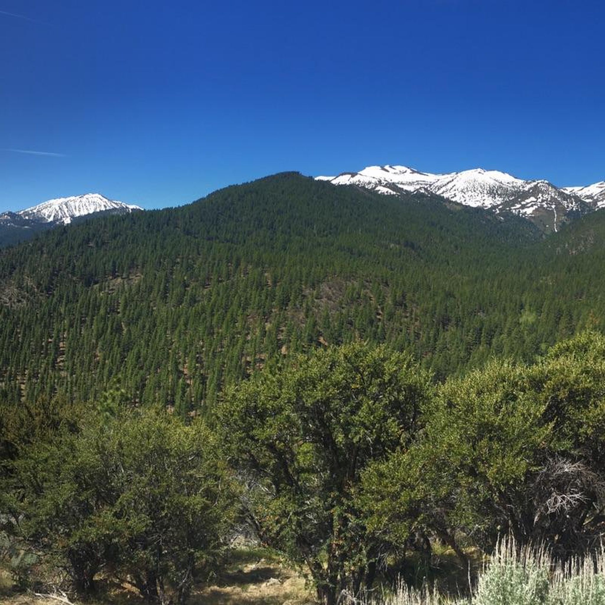
Yes, the Sierra Nevada mountains provide a stunning backdrop for many outdoor activities in Sparks. Routes like the Reno to Verdi Bike Loop and trails in Pah Rah Mountain Park offer excellent opportunities to enjoy panoramic views of the surrounding mountains.
Can I access touring cycling routes using public transport in Sparks?
Sparks has a public transportation system (RTC RIDE) that serves the city and surrounding areas. While specific routes and bike-carrying capabilities vary, some buses are equipped with bike racks, potentially allowing access to certain trailheads. It's advisable to check the local public transport schedule and bike policies for the most current information.
Most popular attractions around Sparks

Get inspired with the komoot mobile app


Explore more
Browse the best Cycling routes in other regions.
