The best road cycling routes around Egling
4.6
(1391)
23,357
riders
249
rides
Road cycling routes around Egling are situated in the Alpine Foothills of Bavaria, offering varied terrain for cyclists. The region features rolling hills, sections along the Isar River, and proximity to Lake Starnberg. Cyclists can expect moderate inclines and scenic vistas across the Bavarian landscape.
Best road cycling routes around Egling
- The most popular road cycling route is Scenic Road to Degerndorf – View over Lake Starnberg loop from Icking, a 22.7 miles (36.5 km) trail that takes 1 hour 44 minutes to complete. This route offers views over Lake Starnberg.
- Another top favourite among local road cyclists is View of the Alps Near Aufhofen – Aufhofen–Thanning Country Road loop from Aufhofen, a moderate 34.9 miles (56.3 km) path. This route provides views of the Alps from country roads.
- Local road cyclists also love the Schäftlarn Abbey – Pupplinger Au loop from Icking, a 28.1 miles (45.3 km) trail leading through the Pupplinger Au nature reserve, often completed in about 1 hour 57 minutes.
- Road cycling around Egling is defined by rolling hills, the Isar River, and views of the Alpine Foothills. The network offers options for different ability levels, from easy paths to more challenging ascents.
- The routes in Egling are highly rated by the komoot community with an average score of 4.7 stars from over 1,200 reviews. More than 22,000 road cyclists have used komoot to explore Egling's varied terrain.
Last updated: June 24, 2026
3.9
(7)
111
riders
36.5km
01:44
400m
400m
Moderate road ride. Good fitness required. Mostly well-paved surfaces and easy to ride.
5.0
(1)
53
riders
Moderate road ride. Good fitness required. Mostly well-paved surfaces and easy to ride.

Sign up for free
45
riders
45.3km
01:57
320m
320m
Moderate road ride. Good fitness required. Mostly well-paved surfaces and easy to ride.
5.0
(1)
36
riders
34.8km
01:29
290m
290m
Easy road ride. Great for any fitness level. Mostly well-paved surfaces and easy to ride.
4.3
(3)
20
riders
Moderate road ride. Good fitness required. Mostly well-paved surfaces and easy to ride.
Get access to more routes and recommendations from other explorers.
Sign up for free
Already have an account?
Our route recommendations are based on thousands of hikes, rides, and runs completed by other people on komoot.
Start today with a free account
Your next adventure awaits.
Login or Signup
Tips from the Community

View of the church in Hohenschäftlarn
1
0

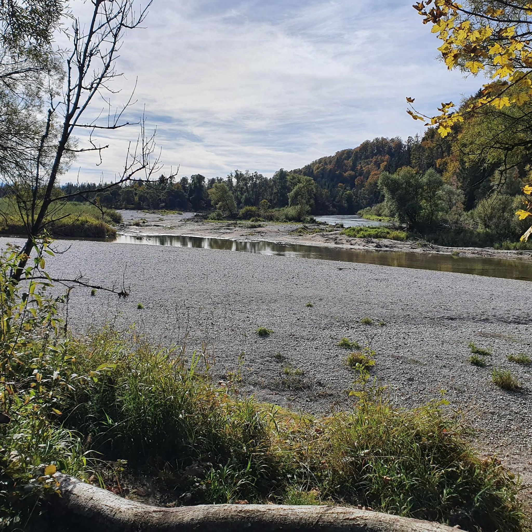
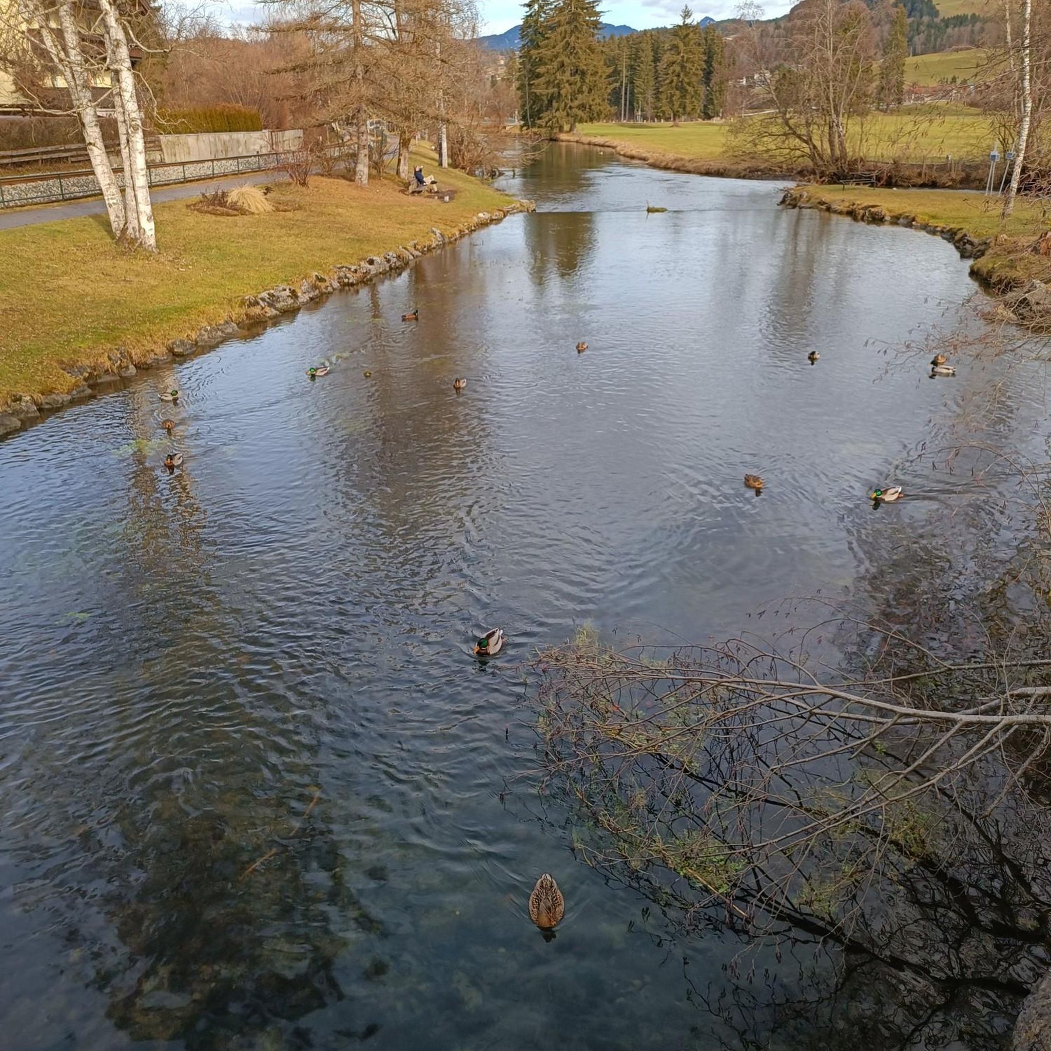
One of many many access points to the lake.
0
0
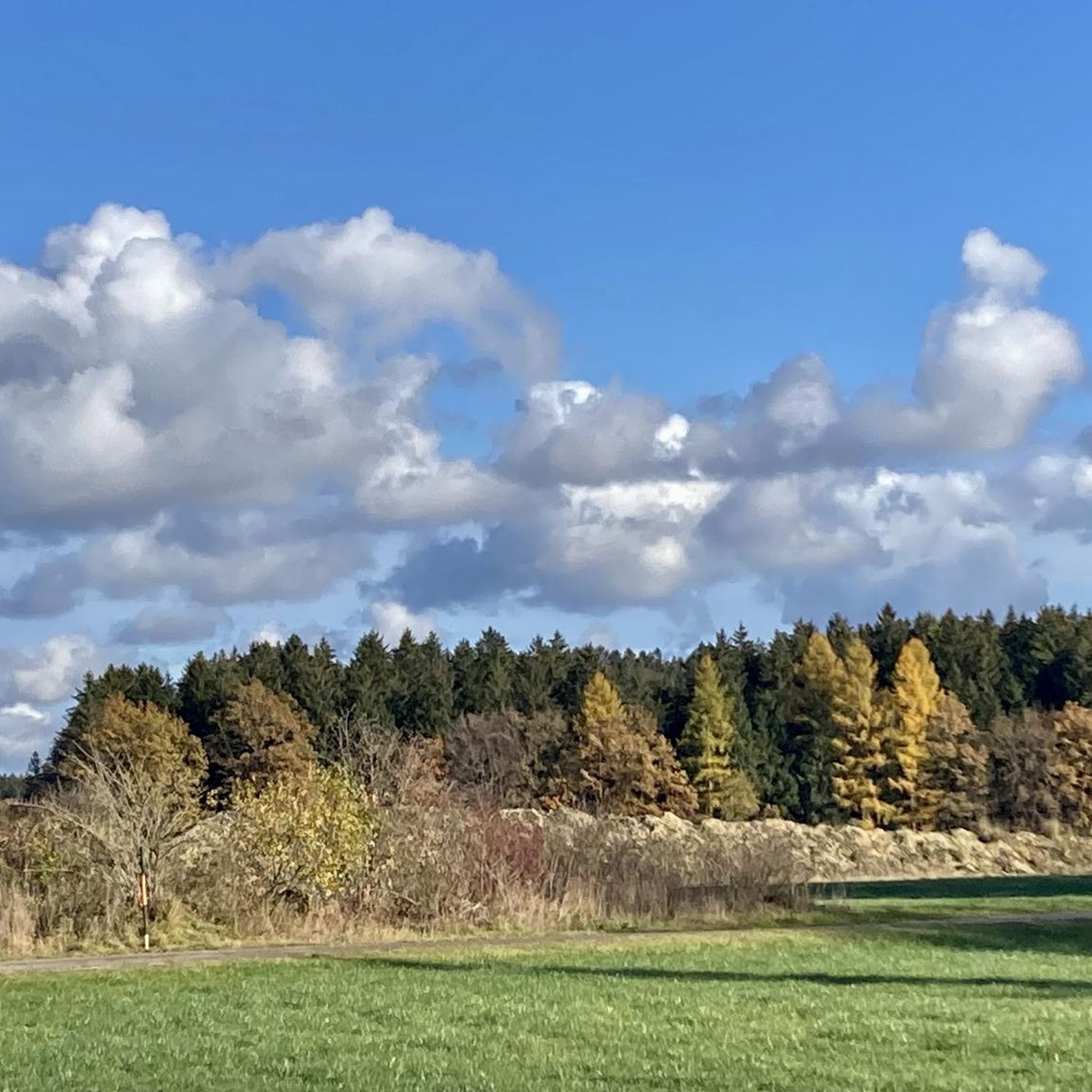
Great view of the Alps
0
0

It is supposedly located on the highest elevation in the Munich district!
0
0


Hermann von Barth (1845–1876), a mountaineer and explorer who made outstanding contributions to the exploration of the Allgäu Alps, Wetterstein Mountains, and Karwendel, spent his childhood at Harmating Castle. (Wikipedia)
0
0
Frequently Asked Questions
How many road cycling routes are available around Egling?
There are over 240 road cycling routes around Egling, offering a wide variety of options for different skill levels and preferences.
What kind of terrain can I expect when road cycling in Egling?
Egling is situated in the Alpine Foothills of Bavaria, so you can expect a mix of rolling hills and moderate inclines. Routes also feature scenic sections along the Isar River and near Lake Starnberg, providing diverse landscapes from riverbanks to elevated viewpoints.
What are the difficulty levels of road cycling routes in Egling?
The routes around Egling cater to various abilities. There are 87 easy routes, 141 moderate routes, and 18 more challenging routes for experienced cyclists looking for greater ascents.
Are there any scenic viewpoints along the road cycling routes in Egling?
Yes, many routes offer stunning vistas. For example, the Scenic Road to Degerndorf – View over Lake Starnberg loop from Icking provides beautiful views over Lake Starnberg. You can also find panoramic views of the Bavarian Alps from places like Ludwigshöhe.
What natural features can I explore while road cycling near Egling?
The region boasts diverse natural beauty. You can cycle along the Isar Riverbank and Trail, explore the serene Ellbach and Kirchsee Moor, or pass through impressive geological formations like the Starzenbach Gorge and Gleißental Valley.
Are there any historical sites or points of interest near the cycling routes?
Yes, the area has historical significance. The Schäftlarn Abbey – Pupplinger Au loop from Icking, for instance, passes by the historic Schäftlarn Abbey and through the Pupplinger Au nature reserve.
Are there road cycling routes suitable for families in Egling?
While many routes feature moderate inclines, there are 87 easy routes that could be suitable for families looking for less strenuous rides. These often follow flatter sections along rivers or through quieter country roads.
Are there circular road cycling routes around Egling?
Yes, many of the road cycling routes around Egling are designed as loops, allowing you to start and end at the same point. Examples include the Arget Forest Road – To Harmating Castle loop from Egling and the View of the Alps Near Aufhofen – Aufhofen–Thanning Country Road loop from Aufhofen.
What do other road cyclists say about the routes in Egling?
The road cycling routes in Egling are highly rated by the komoot community, with an average score of 4.7 stars from over 1,200 reviews. Cyclists often praise the varied terrain, scenic views, and the well-maintained paths.
What is the best time of year for road cycling in Egling?
The spring, summer, and early autumn months generally offer the most pleasant conditions for road cycling in Egling, with milder temperatures and less chance of snow or ice. Always check local weather forecasts before heading out.
Are there places to stop for refreshments along the road cycling routes?
Yes, many routes pass through or near villages where you can find cafes and pubs. While specific establishments vary by route, the region is known for its hospitality, offering opportunities to refuel and relax.
Can I reach road cycling routes in Egling using public transport?
Egling and its surrounding areas are accessible by public transport, particularly regional trains and buses. You can plan your journey to starting points of routes from nearby towns that have train stations, such as Icking, which serves as a starting point for routes like the Eulenschwang–Aufhofen Road – View of the Alps from Thanning loop from Isarauen zwischen Schäftlarn und Bad Tölz.
Most popular attractions around Egling

Get inspired with the komoot mobile app


Explore more
Browse the best Road cycling routes in other regions.
