The best road cycling routes around Papillion
4.6
(11)
799
riders
52
rides
Road cycling routes around Papillion feature an extensive network of paved trails, often following natural corridors along creek systems. The terrain is generally flat to gently rolling, with minimal elevation changes, making it accessible for various skill levels. Key natural features include the Big Papillion Creek and Little Papillion Creek, which provide scenic pathways, and several recreation areas with lakes and wooded sections. The city's commitment to its park and trail system offers a well-integrated environment for road cyclists.
Best…
Last updated: July 2, 2026
4.0
(2)
72
riders
39.3km
02:06
50m
50m
Moderate road ride. Good fitness required. Mostly well-paved surfaces and easy to ride.
27
riders
Moderate road ride. Good fitness required. Some segments of this route may be unpaved and difficult to ride.

Sign up for free
4.0
(2)
70
riders
Moderate road ride. Good fitness required. Mostly well-paved surfaces and easy to ride.
20
riders
52.5km
02:49
140m
140m
Moderate road ride. Good fitness required. Mostly well-paved surfaces and easy to ride.
7
riders
16.0km
00:55
80m
80m
Easy road ride. Great for any fitness level. Mostly well-paved surfaces and easy to ride.
Get access to more routes and recommendations from other explorers.
Sign up for free
Already have an account?
Our route recommendations are based on thousands of hikes, rides, and runs completed by other people on komoot.
Start today with a free account
Your next adventure awaits.
Login or Signup
Popular around Papillion

Tips from the Community

The multi-use Keystone Trail is an important part of Omaha's urban to rural trail system. Linking many of the areas business districts, parks, and Universities to the surrounding rural areas. Much of the trail follows along Little Papillion Creek, with multiple bridges over the water.
0
0

This old railroad bridge reveals the origins of this stretch of trail: It was once part of the country's first transcontinental railroad.
0
0
This pleasant, paved trail runs right past Seymour Smith Park, making it a great option for cycling north or south along the Papillion Creek corridor. Only a little over two miles of the Keystone Trail actually run over the railbed, but you can still see traces of that heritage in pilings, a lingering trestle, and one massive railroad bridge along the trail's length.
0
0

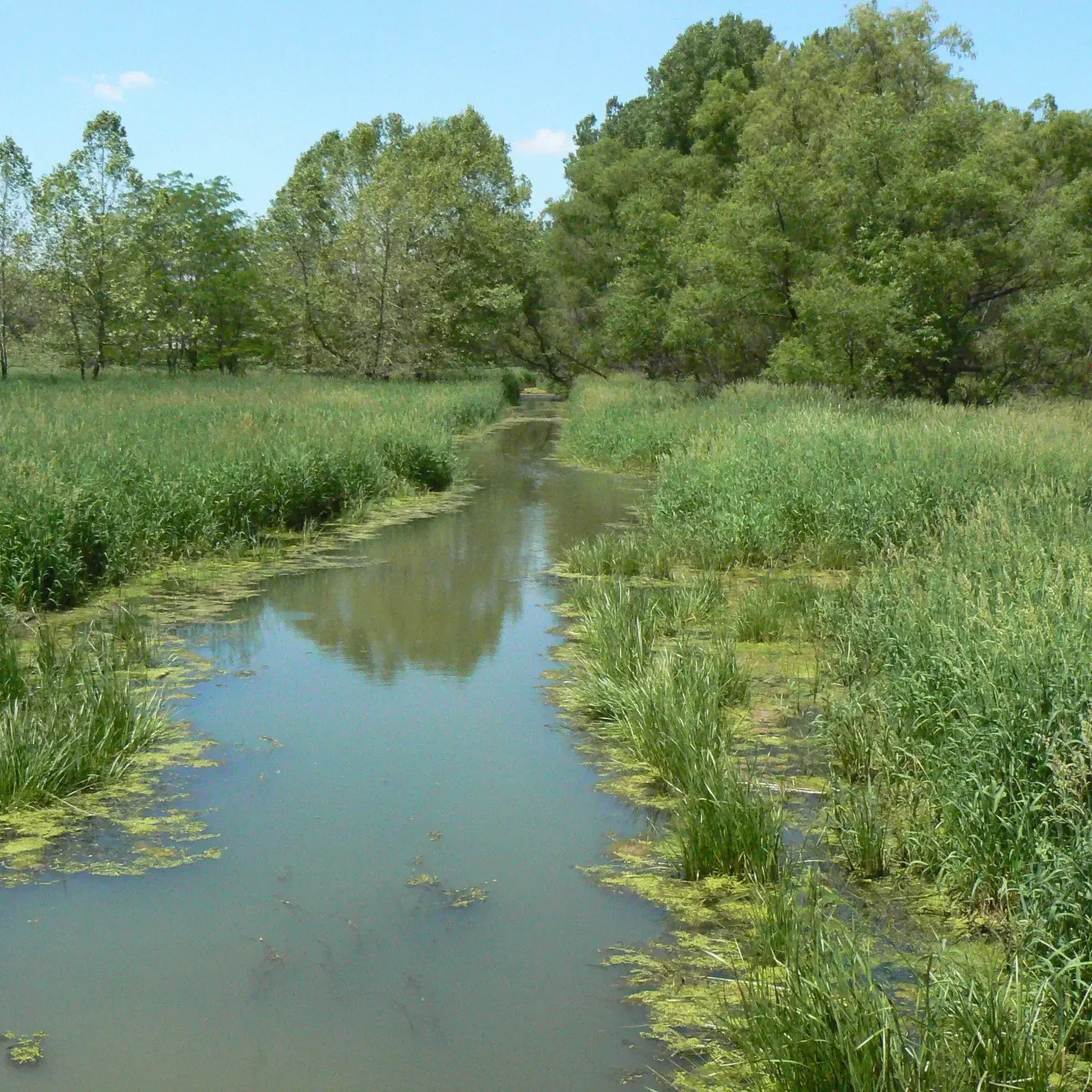
At this spot you cross a nice bridge over West Papio Creek. The water is lined with rushes and tall grasses, which makes the water sometimes a little hard to see from the side, but makes it a popular spot with birds and other wildlife. This is a nice place to slow down and keep an eye out for them!
0
0

Would ride it early, especially in summer, as it can get very hot and the amount of shade is pretty low on some sections of the trail.
0
0

The Cunningham Lake Pavilion is a great spot for a break if you are riding the Lake Cunningham Trail. It is a good place to get out of the sun on a hot day and enjoy the wonderful views of the lake.
1
0

The Big Papio Trail follows Big Papillion Creek pretty much the entire time. It's ten miles each direction and is paved the entire way. There are lots of parks and paths to explore off the side of the path if you want to add on to your ride.
0
0

Keystone Trail is a lovely flat and well paved trail that is perfect for cycling away from busy traffic. Take care to stay on the path and not fall in the creek.
0
0
Frequently Asked Questions
How many road cycling routes are available around Papillion?
There are over 50 road cycling routes around Papillion, offering a wide range of options for different skill levels. You'll find everything from easy loops to more challenging, longer rides, primarily on an extensive network of paved trails.
What kind of terrain can I expect on Papillion's road cycling routes?
Papillion's road cycling routes are predominantly on paved trails, often following natural corridors along creek systems. The terrain is generally flat to gently rolling with minimal elevation changes, making it accessible for various skill levels. You'll find smooth surfaces ideal for road bikes.
Are there any family-friendly road cycling routes in Papillion?
Yes, many of Papillion's paved trails are suitable for families. The generally flat terrain and dedicated trail networks, like sections of the Big Papio Trail or the paved loop around Walnut Creek Recreation Area, provide safe and enjoyable riding experiences away from vehicular traffic. Routes such as the Halleck Park Arboretum loop from Papillion Second II Precinct are particularly easy and pleasant for all ages.
What natural features or landmarks can I see while road cycling in Papillion?
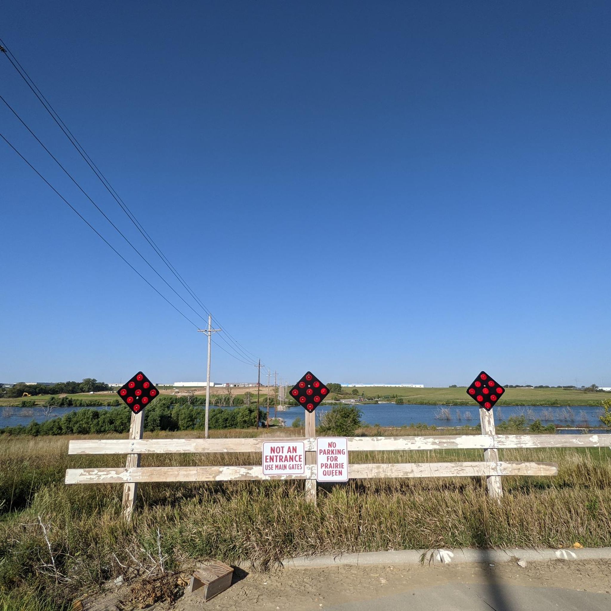
Many routes follow the scenic Big Papillion Creek and Little Papillion Creek corridors, offering pleasant views. You can also cycle around the 105-acre reservoir at Walnut Creek Recreation Area, or explore Halleck Park with its arboretum and pond. The Prairie Queen Trailhead also offers a paved pathway looping around a central lake, providing beautiful outdoor spaces.
Are there any challenging road cycling routes for experienced riders?
While much of Papillion's trail system is relatively flat, experienced riders can find longer, moderate routes that offer extended distances. For example, the Hastings Banner Park – Keystone Trail loop from Gilmore II Precinct covers nearly 50 miles, providing a substantial ride through the region's network.
Where can I find parking for road cycling trails in Papillion?
Many parks and recreation areas that serve as trailheads offer dedicated parking. For instance, Walnut Creek Recreation Area, Halleck Park, and Prairie Queen Recreation Area typically have parking facilities. The extensive trail network also means various access points throughout the city and surrounding areas often have parking available.
Can I access Papillion's road cycling trails using public transport?
Papillion is integrated into the greater Omaha metropolitan area, which has public transport options. While direct access to every trailhead via public transport might vary, key trails like the Big Papio Trail and Keystone Trail run through urban areas, potentially offering closer access points from bus routes. For specific routes, checking local transit schedules for stops near trail access points is recommended.
What is the best time of year for road cycling in Papillion?
The best time for road cycling in Papillion is generally during the spring and fall months when temperatures are mild and comfortable. Summer can also be enjoyable, especially in the mornings or evenings, though humidity might be higher. Winter cycling is possible, but trails may be subject to snow or ice, so checking conditions is advisable.
Are there any loop routes available for road cyclists?
Yes, Papillion offers several excellent loop routes. A popular option is the Big Papio Trail – Keystone Trail loop from Papillion, which connects two major paved trail systems for continuous riding. The paved trail around Walnut Creek Recreation Area also forms a scenic loop, and the Halleck Park Arboretum loop from Papillion Second II Precinct is another pleasant, shorter loop.
What do other road cyclists enjoy most about road cycling in Papillion?
The area is highly rated by the komoot community, with an average score of 4.6 stars from more than 9 reviews. Road cyclists often praise the extensive paved trail network, the scenic creek corridors, and the well-maintained recreation areas with lakes, which provide diverse and enjoyable riding experiences for all ability levels.
Are there any places to stop for refreshments or coffee along the routes?
Given Papillion's integration into the metropolitan area, many trails pass near or through developed areas. While specific cafes or pubs directly on every trail might be limited, detours into downtown Papillion or nearby commercial districts along routes like the Papillion Loop (which utilizes streets like Schram Road, 72nd Street, and 108th Street) can lead to various establishments for refreshments.
Can I bring my dog on the road cycling trails?
Many of Papillion's multi-use paved trails are dog-friendly, provided dogs are kept on a leash and owners clean up after them. Always check specific park or trail regulations, but generally, the extensive trail system welcomes leashed pets, allowing you to enjoy a ride with your canine companion.
Most popular attractions around Papillion

Get inspired with the komoot mobile app


Explore more
Browse the best Road cycling routes in other regions.
