The best walks and hikes around Unionville
4.5
(9)
89
hikers
16
hikes
Hiking around Unionville offers a variety of trails across different North American regions, each with distinct landscapes. In Pennsylvania, the area features extensive state forests and unique geological formations like the Serpentine Barrens, characterized by serpentine rock and distinctive native grasslands. Michigan's Unionville provides trails through parks and national forests, often featuring wetlands and open fields. In Ontario, Canada, the Unionville Valleylands Trail offers a tranquil experience around Toogood Pond, known for its diverse waterfowl and naturalized pond edge.
Best…
Last updated: May 17, 2026
5
hikers
10.3km
03:05
340m
300m
Hike the 6.4-mile Mt. Ascension via Lower DeFord and Aftershock Trail for moderate terrain, Helena Valley views, and 1107 feet of gain.
1
hikers
4.13km
01:14
130m
130m
Enjoy an easy 2.6-mile hike on the Rodney Ridge Loop in Mount Ascension Park, offering spectacular views of Mount Helena and diverse terrain

Sign up for free
9.49km
02:43
210m
270m
Hike the moderate 5.9-mile Mt. Helena Ridge Trail for panoramic views of Helena Valley and surrounding mountains, taking about 2 hours and 4
5.0
(4)
38
hikers
5.55km
01:58
320m
320m
Moderate hike. Good fitness required. Easily-accessible paths. Suitable for all skill levels.
5.0
(3)
11
hikers
4.24km
01:41
320m
320m
Moderate hike. Good fitness required. Mostly accessible paths. Sure-footedness required.
Get access to more routes and recommendations from other explorers.
Sign up for free
Already have an account?
Our route recommendations are based on thousands of hikes, rides, and runs completed by other people on komoot.
Start today with a free account
Your next adventure awaits.
Login or Signup


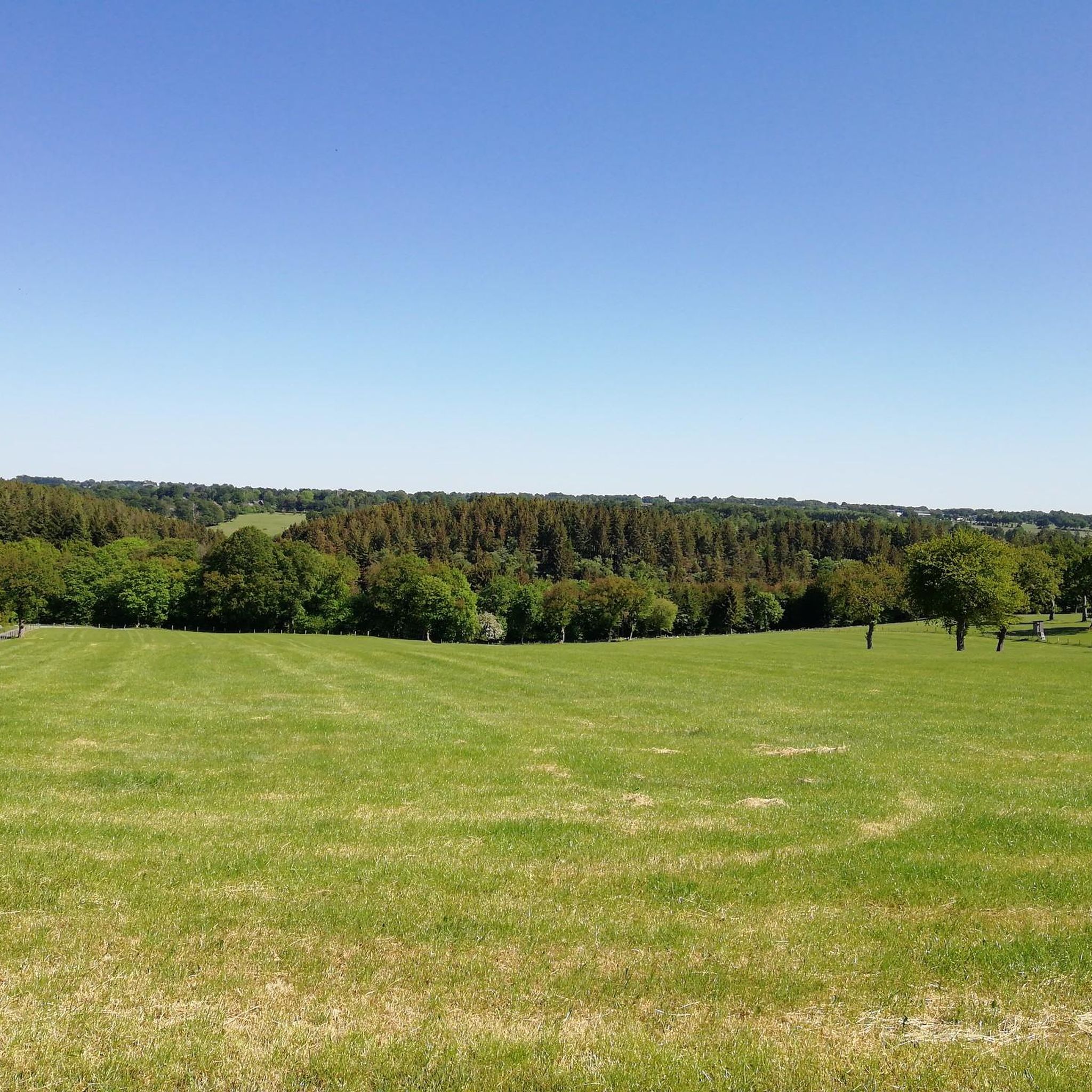

Tips from the Community

This trail is a true local's favorite for hiking and biking, but there may be safety in numbers as grizzly bear are known to be in the area.
0
0

This is the entrance to a small cave called Devil's Kitchen. It is often used as a landmark to identify nearby rock climbing routes.
0
1

Standing 5,468 feet (1,667 m) feet tall, Mount Helena offers great views over the city of the same name. It's essentially the epicenter of a set of trail loops, with no fewer than four ways of hiking to the summit.
1
0
Lots of choices from here. Prospect Shafts, 1906 (uphill only), & Prairie trails are just a few of the options.
0
0
Frequently Asked Questions
How many hiking trails are available in Unionville?
Unionville offers a diverse selection of over 15 hiking trails. These routes cater to various skill levels, with 6 easy trails and 12 moderate options, ensuring there's something for every hiker.
Are there any easy or beginner-friendly hikes in Unionville?
Yes, Unionville has several easy trails perfect for beginners or those seeking a relaxed walk. An excellent option is the Rodney Ridge Loop, an easy 2.6-mile path that provides a gentle walk suitable for a shorter outing.
What kind of unique natural features can I expect to see while hiking in Unionville, Pennsylvania?
In Unionville, Pennsylvania, you can explore the globally rare Serpentine Barrens within the ChesLen Preserve. This unique habitat is characterized by serpentine rock, which supports distinctive native grasslands and stunted oak trees. It's a fascinating area with a history of corundum mining, contributing to its ecological significance.
Are there any circular hiking routes in Unionville?
Yes, Unionville offers several circular routes. For example, the Mount Helena – Devil's Kitchen loop from Helena is a moderate 5.5 km trail, providing a scenic loop experience. Another option is the Mount Helena – Mount Helena Trail Junction loop from Helena, a moderate 4.2 km loop.
What kind of wildlife can be spotted on trails in Unionville, Markham, Ontario?
The Unionville Valleylands Trail around Toogood Pond in Markham, Ontario, is excellent for wildlife observation. You can often spot diverse waterfowl, including Canada Geese, Mallard Ducks, and Blue Herons, as well as snapping turtles and muskrats along the naturalized pond edge.
Are there any notable landmarks or attractions near the hiking trails?
Yes, several interesting attractions are close to Unionville's hiking trails. You can visit the historic Lime Kiln Ruins, explore the Mansion District, or discover the unique geological formation of Devil's Kitchen. For panoramic views, consider hiking towards Mount Helena.
What do other hikers say about the trails in Unionville?
The hiking routes in Unionville are highly regarded by the komoot community, holding an average rating of 4.5 stars from over 10 reviews. Hikers frequently praise the diverse landscapes, which range from extensive state forests to unique geological formations and tranquil pond edges, offering varied experiences for all ability levels.
Are there opportunities for hiking in national forests near Unionville, Michigan?
Yes, outdoor enthusiasts in Unionville, Michigan, have access to numerous hiking opportunities within the Huron National Forest. Additionally, the Pere Marquette Rail Trail and the Chippewa Trail offer scenic routes through wetlands, woods, and open fields, leading to the Chippewa Nature Center.
What is the typical duration for a moderate hike in Unionville?
Moderate hikes in Unionville can vary in duration. For instance, the Mt. Ascension via Lower DeFord and Aftershock Trail, which is 6.4 miles long, typically takes around 3 hours and 5 minutes to complete. Another moderate option, the Mt. Helena Ridge Trail, is 5.9 miles and often completed in about 2 hours 43 minutes.
Are there any paved or multi-use trails suitable for activities other than hiking?
In Unionville, Michigan, the Pere Marquette Rail Trail is known for its paved and well-maintained surface, making it suitable for various activities beyond hiking. Similarly, in Unionville, Connecticut, the Farmington Canal Heritage Trail is a popular multi-use path.
What kind of terrain can I expect on the trails around Unionville?
The terrain around Unionville is quite diverse, reflecting its multiple locations. You can expect everything from extensive state forests and unique geological formations like the Serpentine Barrens in Pennsylvania, to wetlands and open fields in Michigan, and tranquil naturalized pond edges in Ontario. Many trails feature varied terrain, including elevated ridge lines and dirt paths through wooded landscapes.
Most popular routes around Unionville
Most popular attractions around Unionville

Get inspired with the komoot mobile app


Explore more
Browse the best Hikes in other regions.
