The best running trails around Four Corners
5.0
(5)
532
runners
48
runs
Jogging around Four Corners offers diverse landscapes across Arizona, Utah, Colorado, and New Mexico. The region, part of the Colorado Plateau, features a variety of terrains suitable for running, from dry desert environments to pinyon-juniper woodlands and mountainous areas. Iconic red rock formations, buttes, and canyons provide scenic backdrops for running routes, alongside trails through national parks and monuments. This unique area provides a range of experiences for outdoor enthusiasts.
Best jogging routes around Four Corners
- The most popular jogging…
Last updated: September 28, 2026
5.0
(3)
38
runners
9.62km
01:02
90m
90m
Moderate run. Good fitness required. Mostly paved surfaces. Suitable for all skill levels.
16
runners
6.22km
00:39
40m
40m
Moderate run. Good fitness required. Mostly paved surfaces. Suitable for all skill levels.

14
runners
12.8km
01:23
70m
70m
Moderate run. Good fitness required. Mostly paved surfaces. Suitable for all skill levels.
13
runners
6.49km
00:42
40m
40m
Moderate run. Good fitness required. Mostly paved surfaces. Suitable for all skill levels.
8
runners
11.8km
01:16
50m
50m
Moderate run. Good fitness required. Mostly paved surfaces. Suitable for all skill levels.
Get access to more routes and recommendations from other explorers.
Already have an account?
Our route recommendations are based on thousands of hikes, rides, and runs completed by other people on komoot.
Start today with a free account
Your next adventure awaits.
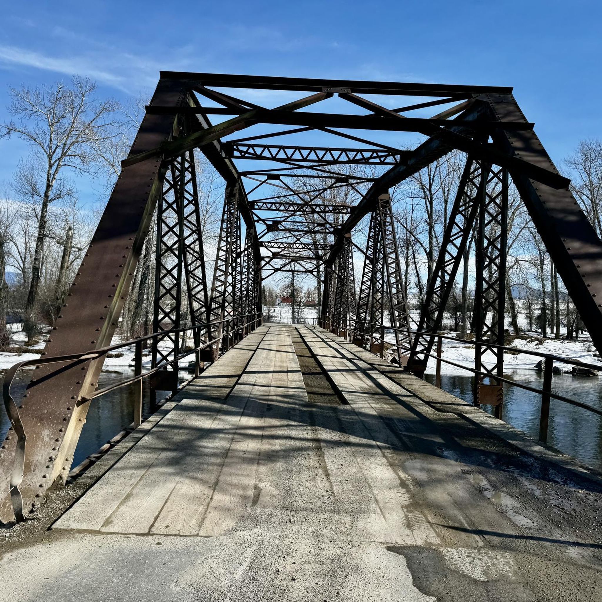
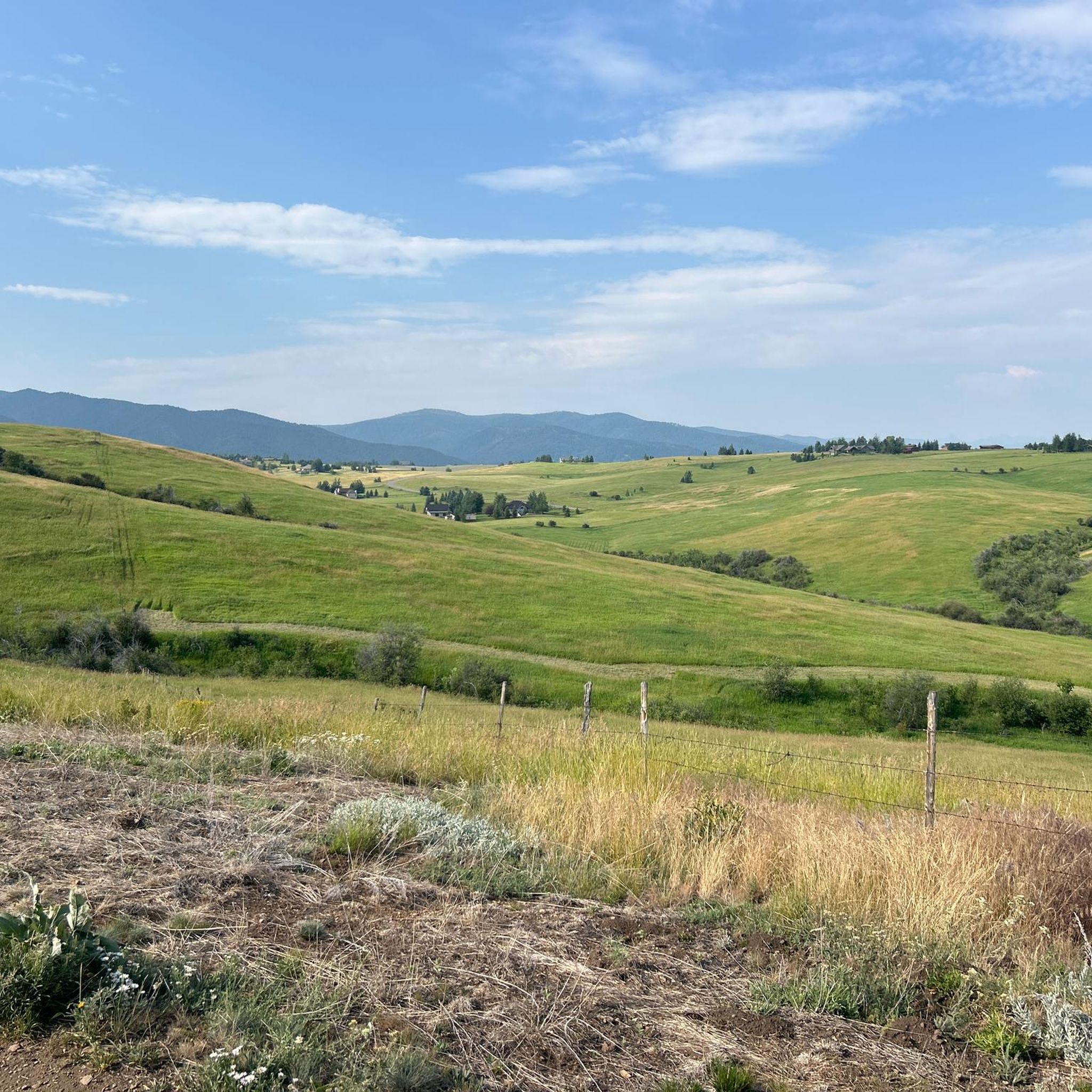
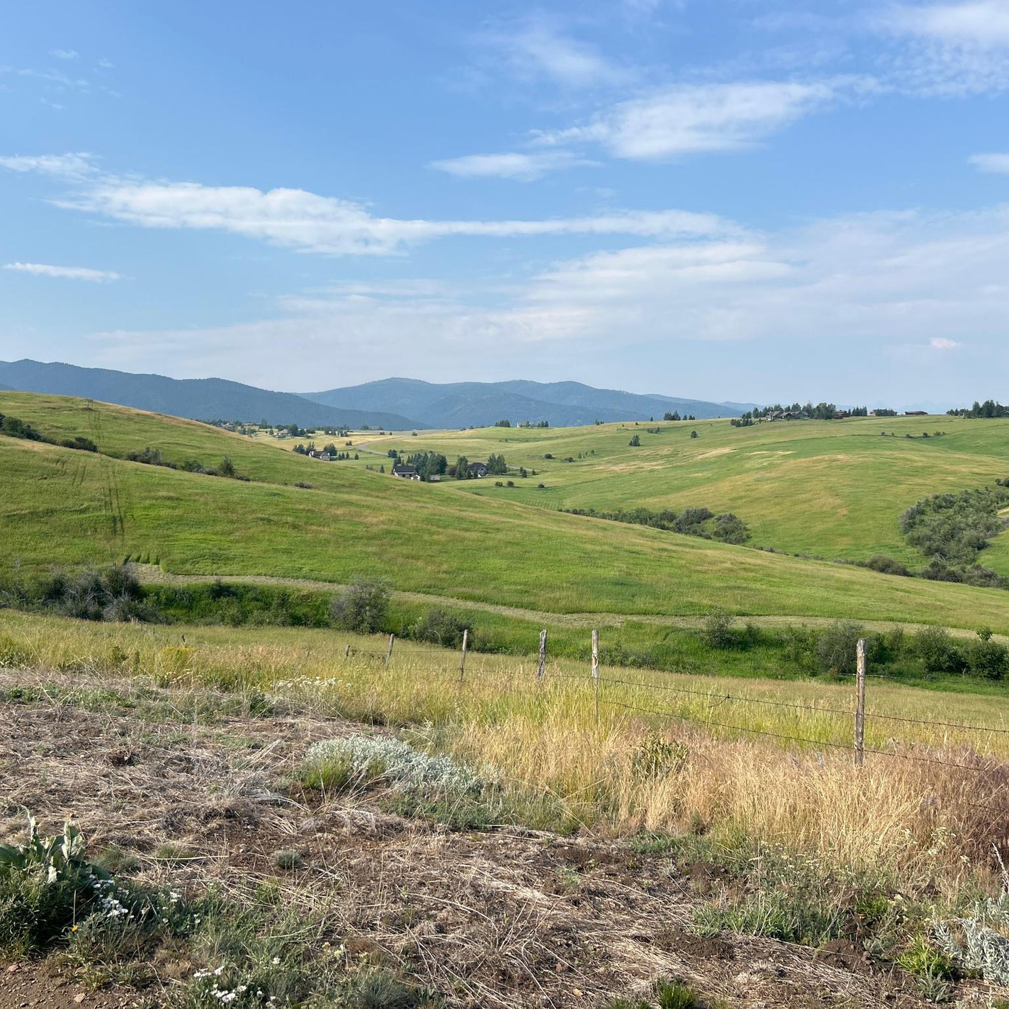

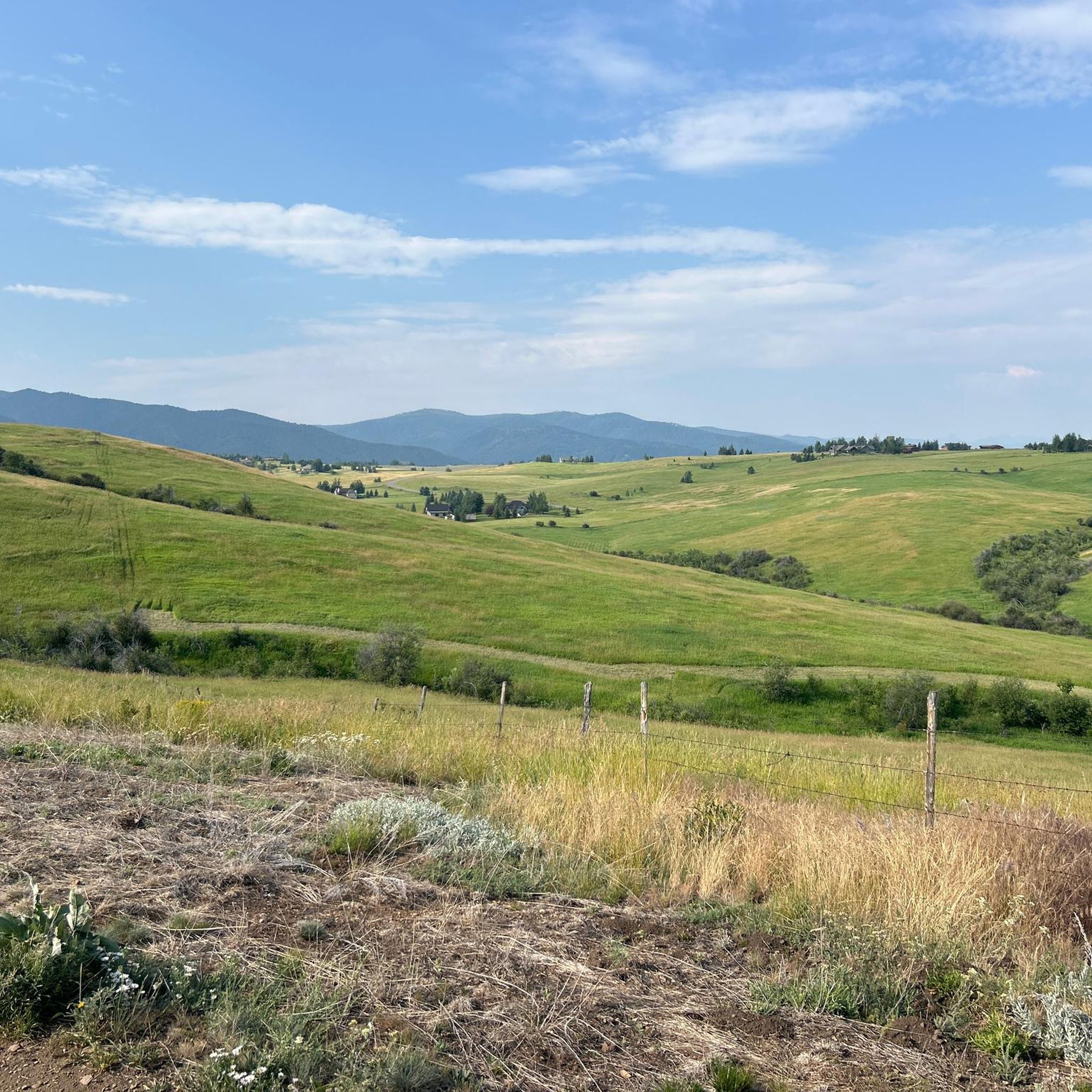
Tips from the Community

This is a nice collection of Ridgeline trails southeast of downtown Bozeman that offer stunning views of the surrounding mountain peaks and the Gallatin Valley. The trails connect the Bozeman Library and extend all the way to Kagy Boulevard.
0
0

Peet's Hill in Burke Park is popularly known for its scenic trails and panoramic views. Peet's Hill has a network of well-maintained trails that weave through grassy meadows and wooded forests.
0
0

Burke Park is a dirt and crushed gravel trail system on a small mesa on the east side of Bozeman. The mesa provides a vantage point with views of several mountain ranges circling around the city, and there is plenty of open space for dogs and kids to run around (though there are signs asking users to control dogs with a leash). The trails range from wide, road width trails to singletrack, but the vertical gain and loss on the park trails is minimal. Pete's Hill is the name of the lookout point with benches on the most northern side of the park. This is a popular park for lots of different trail users, and it's likely you'll encounter others out on a hike.
0
0

The Museum of the Rockies is linked with the Smithsonian and is a vital place for state and federal fossils. It's a fantastic stop for anyone interested in the history of the Northern Rocky Mountain area. You'll find an incredible collection of dinosaur fossils, including a full Montana T. rex skeleton, showcasing its leading role in paleontological research and exhibitions.
0
0
Burke Park is a dirt and crushed gravel trail system on a small mesa on the east side of Bozeman. The mesa provides a vantage point with views of several mountain ranges circling around the city, and there is plenty of open space for dogs and kids to run around (though there are signs asking users to control dogs with a leash). The trails range from wide, road width trails to singletrack, but the vertical gain and loss on the park trails is minimal. Pete's Hill is the name of the lookout point with benches on the most northern side of the park. This is a popular park for lots of different trail users, and it's likely you'll encounter others out on a hike.
1
0
Sourdough Trail is a cross between a nature trail and a commuter trail. It has many spur trails that help connect different neighborhoods to the crushed cinder path, and there are multiple places you could start the trail from. This is a great flatter, in town option for a walk.
0
0

Frequently Asked Questions
How many running routes are available in the Four Corners region?
There are over 40 running routes available in the Four Corners region on komoot, offering a wide range of experiences for runners. These routes are highly rated by the komoot community, with an average score of 4.7 stars.
Are there easy running routes suitable for beginners in Four Corners?
Yes, the Four Corners region offers several easy running routes perfect for beginners or those looking for a less strenuous jog. For example, the Kendena Lake loop from 27th & Baxter is a moderate 3.8-mile (6.2 km) path with minimal elevation gain, ideal for a relaxed run.
What kind of terrain can I expect on running trails in Four Corners?
The Four Corners region, part of the Colorado Plateau, features incredibly diverse terrains. You can expect everything from dry desert environments and pinyon-juniper woodlands to areas with significant elevation changes. Iconic red rock formations, buttes, and canyons provide stunning backdrops for many routes, offering a varied and scenic running experience.
Are there any circular running routes in the Four Corners area?
Yes, many of the running paths in the Four Corners region are designed as loops, allowing you to start and end at the same point. A popular moderate option is the Running loop from Bozeman, which covers 7.2 miles (11.5 km) and offers a balanced running experience with varied terrain.
What are some scenic viewpoints or attractions I can see while running in Four Corners?
The Four Corners region is rich in natural beauty and cultural history. While running, you might encounter scenic viewpoints like Pete's Hill Lookout, Burke Park, or natural preserves such as Highland Glen Nature Preserve. Some routes also pass by tranquil spots like Glen Lake, offering picturesque breaks.
What do other runners enjoy most about jogging in Four Corners?
The running routes in Four Corners are highly rated by the komoot community, with an average score of 4.7 stars from nearly 400 runners. Reviewers often praise the diverse terrains, the stunning red rock formations, and the variety of routes that cater to different ability levels, from easy jogs to more challenging trail runs.
Are there any longer running routes for experienced runners in the Four Corners region?
For experienced runners seeking a challenge, the Four Corners region offers longer and more demanding routes. The College M Trail – Bridger Canyon loop from 19th & Baxter is a difficult 13.8-mile (22.3 km) trail with significant elevation gain, taking approximately 2 hours 30 minutes to complete.
What is the best time of year to go running in Four Corners?
The Four Corners region offers diverse climates. Spring and fall generally provide the most pleasant temperatures for running, avoiding the extreme heat of summer and the colder conditions of winter, especially in higher elevations. However, the varied ecosystems mean that different areas might be enjoyable at different times of the year.
Are there running routes that are suitable for families with children?
While specific 'family-friendly' designations aren't always explicit, routes with lower difficulty grades and shorter distances are generally suitable for families. Look for easy or moderate routes with minimal elevation changes, such as the Kendena Lake loop from 27th & Baxter, which offers a manageable distance and terrain.
Can I find running routes near national parks or monuments in Four Corners?
Yes, the Four Corners region is home to numerous national parks and monuments, many of which offer trails suitable for running and exploration. While komoot routes may not always directly enter these parks, the surrounding areas provide similar stunning landscapes and access to the unique geological and cultural wonders of places like Arches National Park, Mesa Verde, and Petrified Forest National Park.
What should I consider when planning a winter run in Four Corners?
Winter running in Four Corners can be beautiful but requires preparation. While some desert areas might remain mild, mountainous regions will experience snow and colder temperatures. Always check local weather conditions, wear appropriate layers, and be aware that some trails may be inaccessible or require specialized gear due to snow or ice.
Are there any moderate-difficulty running routes in the Four Corners area?
Absolutely. The majority of running routes in Four Corners are classified as moderate, providing a good balance of challenge and accessibility. An example is the Running loop from Atkins, a 7.3-mile (11.8 km) trail that leads through a moderate landscape and is often completed in about 1 hour 16 minutes.
Most popular attractions around Four Corners

Get inspired with the komoot mobile app


Explore more
Browse the best Running Trails & Routes in other regions.
