The best walks and hikes around Oakville
5.0
(1)
135
hikers
29
hikes
If you've ever tried to plan hiking around Oakville, you know how overwhelming the options can be. With so many trails crisscrossing the region, it's tough to tell which routes are genuinely worth your time and effort, and which are just filler. That's where we come in. Our komoot community has mapped, hiked, and reviewed these trails, so we’ve done the legwork to bring you a curated shortlist of the very best.
Hiking in Oakville truly offers a diverse experience,…
Last updated: May 10, 2026
5.0
(1)
16
hikers
5.29km
01:26
60m
90m
The Cliff Cave County Park Loop offers a delightful blend of natural beauty and historical intrigue, making it a popular route for a relaxed outing. You'll wander through diverse woodlands…
1
hikers
5.48km
01:25
30m
30m
The Pomme Creek Park Trail in Arnold, Missouri, offers a wonderfully accessible and easy hiking experience, perfect for a relaxed outing. You'll follow winding paths through open fields and wooded…

Sign up for free
1.61km
00:26
30m
10m
If you're looking for a quick, refreshing walk around a scenic lake, the Fisherman's Trail is a fantastic choice. This easy 1.0-mile (1.6 km) loop takes you along the shores…
12
hikers
7.32km
01:55
50m
50m
The Spring Valley Trail and Inner Loop Trail to river overlook offers a delightful escape into nature, perfect for an easy outing. This 4.5-mile (7.3 km) hike, with a gentle…
12
hikers
6.24km
01:35
20m
20m
The Meramec Greenway offers a delightful, generally flat journey through riverfront forests and past limestone bluffs, providing scenic views of the Meramec River. You'll find a mix of paved, natural,…
Get access to more routes and recommendations from other explorers.
Sign up for free
Already have an account?
Our route recommendations are based on thousands of hikes, rides, and runs completed by other people on komoot.
Start today with a free account
Your next adventure awaits.
Login or Signup
Popular around Oakville


Tips from the Community

A 525 acre park with two primary mtb trails. The Spring Valley Trail is a flowy beginner level trail that rolls in and around the trees. The River Bluff Trail is a more technical loop that flows through rock gardens and a ledge drop. Both take you through heavily wooded areas with ponds, sinkholes, and a variety of wildlife.
0
0

Bee Tree Lake is located within Bee Tree County Park. Surrounding the lake are picnic benches, walking trails and a playground.
0
0

There are three main trails in Cliff Cave County Park. The Spring Valley Trail here offers the best chance to stretch your legs, but the trail continues in a secondary, inner loop that lets you add on to your walk if you so desire, and a River Bluff Trail to the north that leads to a nice overlook of the river. The third trail is down below the cliffs and should be reached via an easy walk. Don't believe any mapping apps that try to steer you down steep, dangerous-looking terrain — those are technical rock climbing routes!
1
0
Most of the Meramec Greenway is paved and runs through the woods alongside the Meramec River. There are some unpaved side trails you may want to explore.
2
0
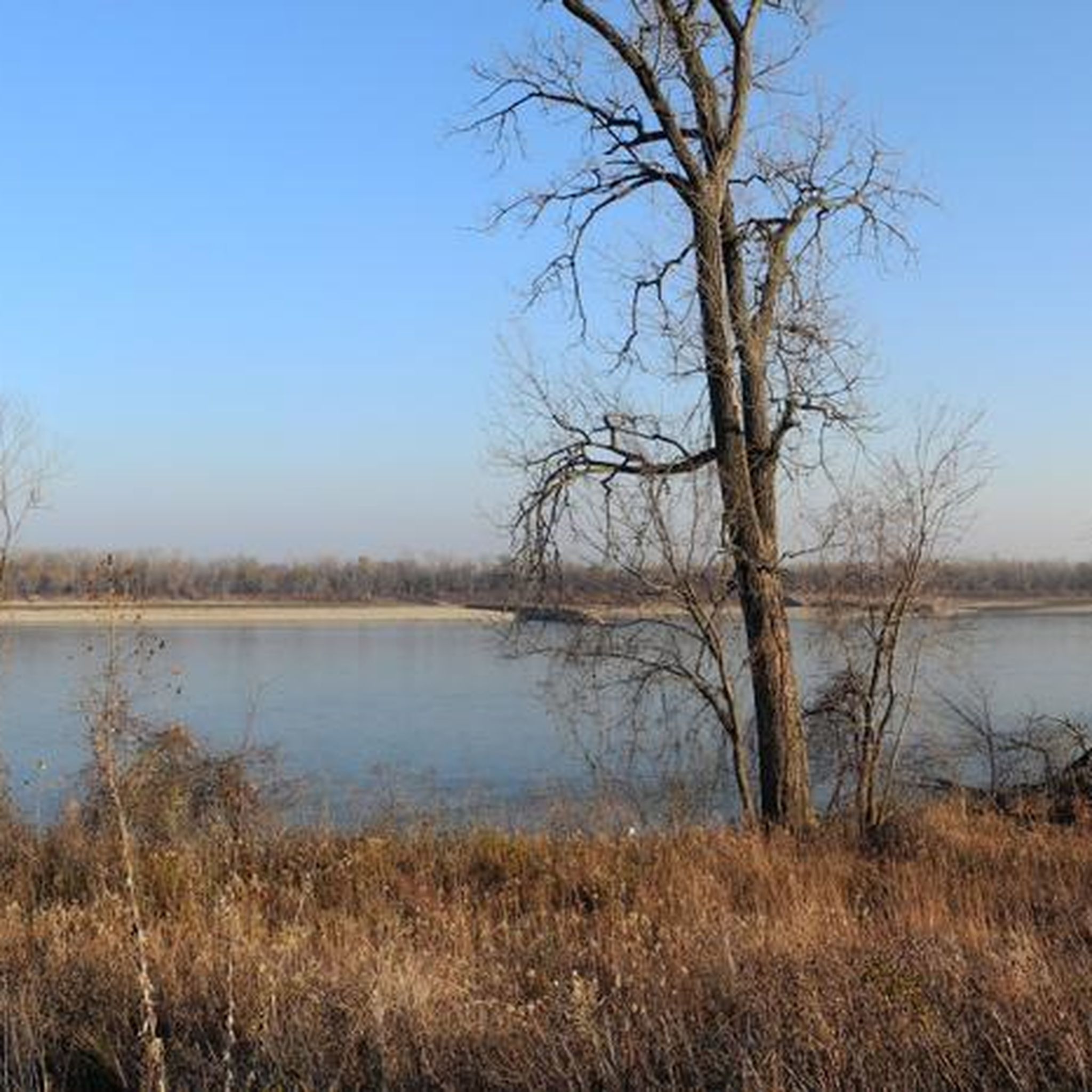
When the trees are bare, you can get a pretty overlook for the Mississippi River from this viewpoint.
1
0
Frequently Asked Questions
What kind of terrain can I expect on hiking trails in Oakville?
Oakville's hiking trails offer a diverse range of terrain, from deep ravines and lush forested paths to open meadows. You'll find gentle topography with some moderate elevation changes, particularly along the numerous creek valleys like Bronte Creek and Sixteen Mile Creek. This variety ensures options for different ability levels.
Are there any family-friendly hiking options in Oakville?
Yes, many trails in Oakville are well-maintained and suitable for families. For example, the Cliff Cave County Park Loop is an easy 5.3 km route with gentle elevation changes, perfect for a family outing. The region's generally gentle topography makes it accessible for various ages.
Can I bring my dog on the hiking trails in Oakville?
Oakville is known for its dog-friendly outdoor spaces. Many trails, especially those in parks and along creek systems, welcome dogs, often requiring them to be on a leash. Always check specific park regulations before heading out to ensure a pleasant experience for everyone.
Are there any circular hiking routes available?
Yes, circular routes are a popular option in Oakville. The Cliff Cave County Park Loop Trail is a 7.1 km circular path that allows you to experience natural landscapes without retracing your steps. Bronte Creek Provincial Park also features a massive 17-kilometer loop.
What natural features or landmarks can I see while hiking in Oakville?
Oakville's trails are rich with natural beauty. You can explore numerous creek systems like Sixteen Mile Creek and Joshua's Creek, which often feature scenic bridges and water views. Highlights include the River overlook, and the picturesque waterfront along Lake Ontario. The Iroquois Shoreline Woods Park also features staircases descending a steep hill marking the ancient shoreline of Lake Iroquois.
How long are the typical hiking trails in Oakville?
Hiking trails in Oakville vary in length to suit different preferences. You can find shorter routes like the Fisherman's Trail, which is about 1.6 km, or longer excursions such as the Spring Valley Trail and Inner Loop Trail to river overlook, spanning 7.3 km.
What do other hikers say about the trails in Oakville?
The hiking routes in Oakville are highly rated by the komoot community, with an average score of 5.0 stars. Hikers often praise the varied terrain, the calming sounds of the creek systems, and the well-maintained paths that offer options for all skill levels.
Are there any easy hiking trails for beginners in Oakville?
Absolutely. All 10 of the hiking routes listed in this guide are rated as easy, making Oakville an excellent destination for beginners. The Fishermen's Trail, for instance, is an easy 2.9 km path, perfect for a gentle introduction to hiking in the area.
Is public transport available to reach hiking trailheads in Oakville?
Oakville has a public transit system (Oakville Transit) that connects various parts of the town. While specific routes to every trailhead may vary, key areas like Lions Valley Park along the Sixteen Mile Creek Trail are generally accessible by public transport, making it convenient to reach many popular starting points.
What is the best time of year to go hiking in Oakville?
Oakville offers enjoyable hiking experiences throughout the year. Spring brings lush greenery and flowing creeks, while autumn showcases vibrant fall foliage. Summer is great for longer days, and even winter hiking can be beautiful, especially along the frozen creek systems, though appropriate gear is recommended.
Are there any parks or specific areas known for extensive trail networks?
Yes, Bronte Creek Provincial Park, located just 15 minutes east of Oakville, offers a vast network of trails through an expansive valley and forest. Within Oakville itself, the Sixteen Mile Creek Trail system and Iroquois Shoreline Woods Park are also known for their extensive and scenic trail networks.
Most popular attractions around Oakville

Get inspired with the komoot mobile app


Explore more
Browse the best Hikes in other regions.
