The best road cycling routes around High Ridge
4.8
(6)
100
riders
16
rides
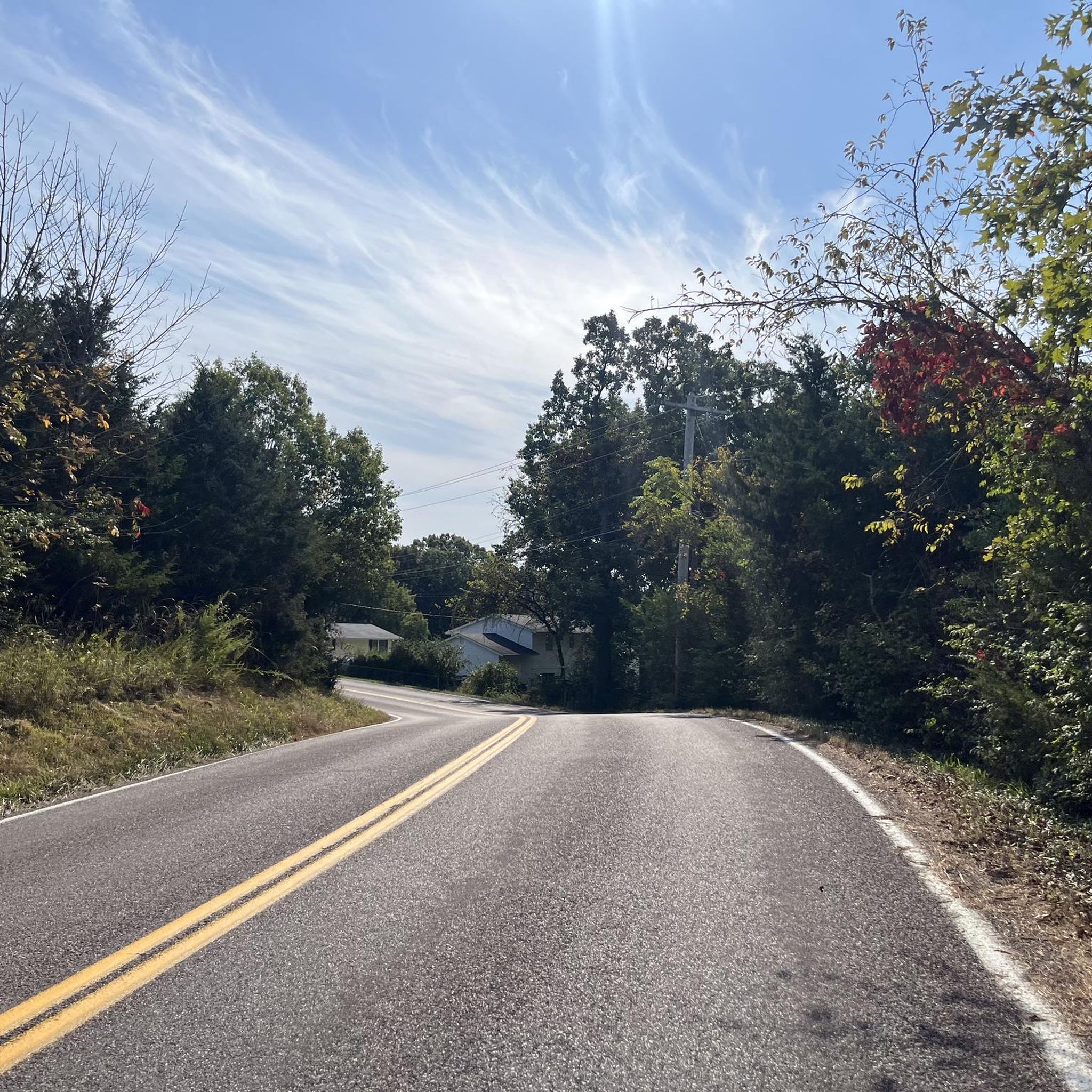
Road cycling routes around High Ridge, Missouri, are characterized by the region's varied terrain within the Ozark foothills. The landscape features rolling hills, numerous creeks, and proximity to the Meramec River, providing diverse scenery for cyclists. This area offers a network of routes that navigate through woodlands and along riverine stretches, presenting both challenging climbs and rewarding descents. The natural setting provides a mix of paved roads and well-maintained paths suitable for road cycling.
Best road cycling routes around High…
Last updated: July 2, 2026
4
riders
74.3km
03:21
560m
560m
Moderate road ride. Good fitness required. Mostly well-paved surfaces and easy to ride.
4.5
(4)
34
riders
21.3km
00:59
60m
60m
Easy road ride. Great for any fitness level. Mostly well-paved surfaces and easy to ride.

Sign up for free
20
riders
66.6km
03:22
710m
710m
Moderate road ride. Good fitness required. Some segments of this route may be unpaved and difficult to ride.
5.0
(2)
14
riders
Moderate road ride. Great for any fitness level. Some segments of this route may be unpaved and difficult to ride.
7
riders
56.5km
02:42
530m
530m
Moderate road ride. Good fitness required. Some segments of this route may be unpaved and difficult to ride.
Get access to more routes and recommendations from other explorers.
Sign up for free
Already have an account?
Our route recommendations are based on thousands of hikes, rides, and runs completed by other people on komoot.
Start today with a free account
Your next adventure awaits.
Login or Signup



Tips from the Community


Nice park next to the Meramec River. There’s a weird one-way system in place that makes it easier to cross the park from west to east than the other way round.
0
0
Scenic ride on Woods Avenue through the woods. Moderate climb if you’re going Eastbound, downhill otherwise.
0
0
Bike share the road with cars, but there is usually not that much traffic
0
0
Frequently Asked Questions
What kind of terrain can I expect on road cycling routes around High Ridge?
Road cycling around High Ridge, nestled in the Ozark foothills, features a diverse landscape. You'll encounter rolling hills, offering both challenging climbs and rewarding descents, along with scenic stretches near creeks and the Meramec River. The routes navigate through extensive woodlands and along riverine areas, providing varied scenery.
Are there easy road cycling routes suitable for beginners or families in High Ridge?
Yes, High Ridge offers routes suitable for various skill levels. For an easier, family-friendly option, consider the Meramac Greenway Trail loop from Valley Park. This 13.2-mile path follows the scenic Meramec Greenway Trail, winding along the river and limestone bluffs with minimal elevation gain, making it ideal for a relaxed ride.
Where can I find challenging road cycling routes with significant elevation gain?
For a more challenging ride with substantial elevation, the Melrose Road – Manchester Road loop from Route 66 State Park is an excellent choice. This 46.0-mile route features over 730 meters of elevation gain, taking you through varied terrain characteristic of the Ozark foothills.
Are there any long-distance road cycling routes in the High Ridge area?
Absolutely. For a longer ride, the Eureka to Missouri River loop covers 46.2 miles, connecting to the Missouri River and offering an extensive cycling experience. Another option is the Melrose Road – Manchester Road loop from Route 66 State Park, which is 46.0 miles long.
What do other road cyclists enjoy most about the routes in High Ridge?
The road cycling routes in High Ridge are highly rated by the komoot community, with an average score of 5.0 stars. Cyclists often praise the varied terrain, which includes rolling hills and scenic riverine stretches, and the well-maintained paths that offer both challenging and relaxed riding experiences through woodlands and along bluffs.
Are there any circular road cycling routes available?
Yes, many of the routes around High Ridge are designed as loops, providing a convenient circular journey. Examples include the popular Eureka to Missouri River loop and the Meramac Greenway Trail loop from Valley Park. These loops allow you to start and end at the same point, making logistics easier.
What are some scenic highlights or natural features I can see along the road cycling routes?
The region is rich in natural beauty. Many routes offer views of the Meramec River and limestone bluffs, especially along the Meramec Greenway Trail. You might also encounter highlights like the Lone Wolf Trail, Forest 44 Conservation Area, and the Riverscene Trail, which showcase the area's woodlands and riverine scenery.
Are there any specific routes that pass by cafes or places to stop for refreshments?
While specific cafes directly on every route aren't detailed, routes like the Café Regale – Four Ridge Road loop from High Ridge are named to suggest proximity to such amenities. Many routes pass through or near towns where you can find places to refuel. It's always a good idea to check the route map for towns and services along your chosen path.
What is the best time of year to go road cycling in High Ridge, Missouri?
The best time for road cycling in High Ridge is typically during the spring and fall. These seasons offer pleasant temperatures, vibrant foliage, and generally drier conditions. Summer can be hot and humid, while winter may bring colder temperatures and potential for ice or snow, making spring and autumn ideal for enjoying the scenic routes.
Are there routes that offer good parking options for cyclists?
Many routes in the High Ridge area originate from or pass by locations with convenient parking. For instance, the Melrose Road – Manchester Road loop starts from Route 66 State Park, which typically offers parking facilities. Similarly, the West Rock Creek Road – Four Ridge Road loop begins near Saline Valley Fire Protection District Station #1, suggesting accessible starting points.
How many road cycling routes are available to explore around High Ridge?
There are 9 road cycling routes available around High Ridge, offering a variety of distances and difficulties to suit different preferences. These routes have been explored by over 100 road cyclists using komoot.
Most popular routes around High Ridge
Most popular attractions around High Ridge

Get inspired with the komoot mobile app


Explore more
Browse the best Road cycling routes in other regions.
