The best MTB trails around Gray Summit
5.0
(1)
99
riders
7
rides
Mountain biking around Gray Summit, Missouri, offers diverse landscapes where the rolling prairie lands meet the Ozark Mountains. The region features dedicated trail systems with varied terrain, including dirt surfaces, rocky sections, and steep climbs. Riders can explore extensive woodlands, glades, prairies, and wetlands, often along bluffs overlooking the Meramec River. This unique geographical position contributes to a rich variety of ecosystems suitable for mountain biking.
Best mountain bike trails around Gray Summit
- The most popular mountain bike trail is…
Last updated: October 11, 2026
39
riders
20.9km
01:57
320m
320m
Moderate mountain bike ride. Good fitness required. Suitable for all skill levels.
2.63km
00:15
50m
60m
Easy mountain bike ride. Great for any fitness level. Suitable for all skill levels.

11
riders
10.4km
00:59
170m
170m
Easy mountain bike ride. Great for any fitness level. Suitable for all skill levels.
16
riders
21.6km
01:58
370m
370m
Moderate mountain bike ride. Good fitness required. Suitable for all skill levels.
10
riders
8.90km
00:51
150m
150m
Easy mountain bike ride. Great for any fitness level. Suitable for all skill levels.
Get access to more routes and recommendations from other explorers.
Already have an account?
Our route recommendations are based on thousands of hikes, rides, and runs completed by other people on komoot.


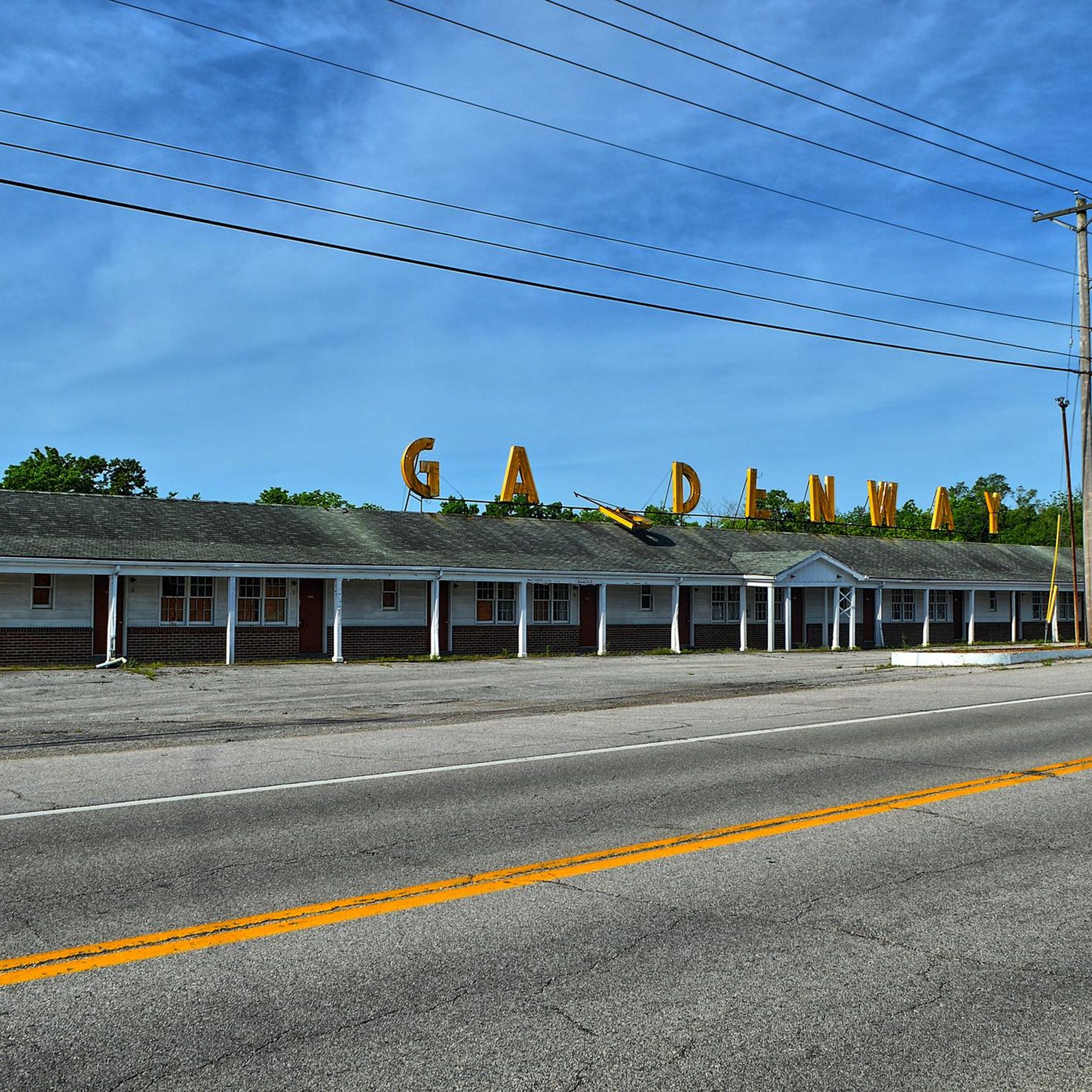
Tips from the Community

These waterproof aid boxes can be found at trail junctions throughout the park. A 29“ tube, tire lever and a few CO2 cartridges. A phone number to PayPal $ to. A great idea! I saw at least 6 of them.
0
0
Picnic table and a bench. Great place to refuel and recoup.
0
0

Greensfelder County Park has about 30 miles of trails that are accessible for mountain biking. The most popular loop is a challenging ride of with steep climbs and rock gardens with a good balance of flow along the Dogwood, Declue, Greenrock and Eagle Valley trails.
1
0
This scenic park on the banks of the Misouri River has about 4 miles of natural surface and paved trails. The MTB trails are mainly short but fun and challenging runs that can be ridden multiple times if you use the pavement and connector trails between them.
0
0
While this trail is only a little over a mile long, it is a fun and thrilling downhill run. The trail can easily be ridden multiple times since you can take the pavement back to the top of the bluff and do it again. Tight switchbacks, exposed slopes and ledges, and short climbs make up the terrain you will encounter on this trail.
0
0

The trailhead for this path is located right off of the Declue Trail at the parking area off Alerton Six Flags Road. The Dogwood Trail is a 2.3-mile loop within the southwestern section of Greensfelder Park. It's an easy to navigate and well marked trail.
0
0
Stunning and windy trail that is known for being steep and rocky. While the wooded areas surrounding the Declue Trail are familiar, the off-trail environment offers a unique savannah and prairie ecosystem. Grassland vegetation, and wildflowers define this landscape. The local flora has adapted to thrive in these dry conditions, with trees often growing horizontally due to limited competition from other trees or shrubs.
0
0
This well-marked trail offers peace of mind, making it hard to lose your way. You'll be thankful for the cool shade provided by the dense woods throughout much of the hike. As you traverse the trail, take in the vibrant greenery and numerous wildflowers. The landscape is nourished by small seeps and springs, ensuring both the vegetation and creek thrive. Be prepared to cross the creek multiple times, but keep in mind that flash flooding can be a concern on this route.
0
0
Frequently Asked Questions
What kind of terrain can I expect on mountain bike trails around Gray Summit?
The mountain bike trails around Gray Summit offer a diverse range of terrain. You'll encounter mostly dirt surfaces, but also rocky sections and steep climbs, especially in areas like Matson Hill Park. The region's unique geography, where prairie lands meet the Ozark Mountains, means you'll ride through extensive woodlands, glades, prairies, and wetlands, with some trails offering views over the Meramec River.
Are there mountain bike trails suitable for beginners in Gray Summit?
Yes, Gray Summit has several trails suitable for beginners. For an easy and pleasant ride, consider the Hogsback Trail, which is about 1.6 miles long. Another good option for an easier ride is the Aid boxes! loop from Six Flags St. Louis, which covers about 7.9 miles through wooded areas.
What are some challenging mountain bike trails in the Gray Summit area?
For more challenging rides, look for trails with significant elevation changes and technical sections. Matson Hill Park is known for its steep climbs, including a segment called 'Cardiac Hill,' and rocky sections. The 'Donkey Kong Loop' nearby also offers a steep, rocky experience with natural sandstone drop-offs, providing options for advanced riders.
Are there any loop trails for mountain biking in Gray Summit?
Yes, there are several excellent loop trails. The Eagle Valley and DeClue Trail Loop is a popular moderate option, spanning about 13 miles. You can also explore the Dogwood Trail – Scenic Overlook Trail loop from Six Flags St. Louis, an easy 6.7-mile ride, or the longer Dogwood Trailhead – Beulah Trail loop from Six Flags St. Louis, a moderate 13.3-mile route.
What natural attractions or landmarks can I see while mountain biking in Gray Summit?
The Gray Summit area is rich in natural beauty. While riding, you might encounter diverse ecosystems including prairies, glades, and woodlands. The nearby Shaw Nature Reserve, though primarily for hiking, showcases the region's natural features like wetlands and bluffs overlooking the Meramec River. For specific points of interest, consider visiting Greensfelder Park or Klondike Park, which are popular natural areas in the vicinity.
What is the best time of year for mountain biking in Gray Summit?
The spring and fall seasons generally offer the most pleasant conditions for mountain biking in Gray Summit, with milder temperatures. Trails in heavily shaded areas, like parts of Matson Hill Park, can be enjoyable during warmer months, but they may take longer to dry after rain. Always check local trail conditions before heading out, especially after precipitation.
Are there any family-friendly mountain bike trails in Gray Summit?
Yes, several trails are suitable for families. Easy routes like the Hogsback Trail offer a pleasant experience for riders of varying skill levels. The region's diverse trail network includes options that are less technical and have gentler elevation changes, making them ideal for family outings.
What do other mountain bikers enjoy most about the trails in Gray Summit?
The mountain bike trails in Gray Summit are highly rated by the komoot community, with an average score of 5.0 stars. Riders often praise the diverse ecosystems, shaded woodlands, and varied terrain, which includes both challenging rocky sections and scenic river views. The availability of options for easy, moderate, and advanced riders is also frequently highlighted.
How many mountain bike trails are available in the Gray Summit area?
There are several mountain bike trails available in the Gray Summit area. Komoot features around 8 distinct mountain bike routes, offering a variety of experiences from easy to moderate difficulty.
Are there any places to explore near the mountain bike trails in Gray Summit?
Absolutely. Beyond the mountain biking, the region offers several interesting places. The Katy Trail, a well-known state park, is nearby and offers a different biking experience on a paved surface. You can also explore the charming settlement of Augusta or visit Greensfelder Park for more outdoor activities.
What is the typical elevation gain on mountain bike trails in Gray Summit?
The elevation gain varies significantly depending on the trail. For instance, an easy route like the Hogsback Trail has an elevation gain of around 54 meters. More moderate trails, such as the Eagle Valley and DeClue Trail Loop, can feature climbs of over 320 meters, offering a good workout for riders.
Most popular routes around Gray Summit
Most popular attractions around Gray Summit

Get inspired with the komoot mobile app


Explore more
Browse the best MTB trails in other regions.
