The best road cycling routes around Clarkson Valley
4.7
(23)
551
riders
52
rides
Road cycling routes around Clarkson Valley, Missouri, traverse a landscape characterized by river valleys, rolling hills, and expansive parklands. The region offers a mix of paved paths and well-maintained gravel trails suitable for road bikes, particularly along the Missouri River. Cyclists can expect varied terrain, from flat levee trails to routes with moderate elevation changes through forested areas and open prairies. This environment provides diverse road cycling experiences within and around the Clarkson Valley area.
Best road cycling routes around…
Last updated: July 2, 2026
4.5
(4)
107
riders
40.6km
01:50
100m
100m
Moderate road ride. Great for any fitness level. Some segments of this route may be unpaved and difficult to ride.
5.0
(1)
16
riders
46.1km
02:20
490m
490m
Moderate road ride. Good fitness required. Mostly well-paved surfaces and easy to ride.

Sign up for free
16
riders
51.4km
02:09
260m
260m
Moderate road ride. Good fitness required. Mostly well-paved surfaces and easy to ride.
5.0
(1)
13
riders
Moderate road ride. Great for any fitness level. Some segments of this route may be unpaved and difficult to ride.
10
riders
44.6km
02:15
470m
470m
Moderate road ride. Good fitness required. Mostly well-paved surfaces and easy to ride.
Get access to more routes and recommendations from other explorers.
Sign up for free
Already have an account?
Our route recommendations are based on thousands of hikes, rides, and runs completed by other people on komoot.
Start today with a free account
Your next adventure awaits.
Login or Signup



Tips from the Community

take the time to stop and enjoy the view while crossing the bridge
1
0

Quiet streets near a small airport
0
0
Super broad bike paths on the shoulders make for a great and relatively safe ride
0
0
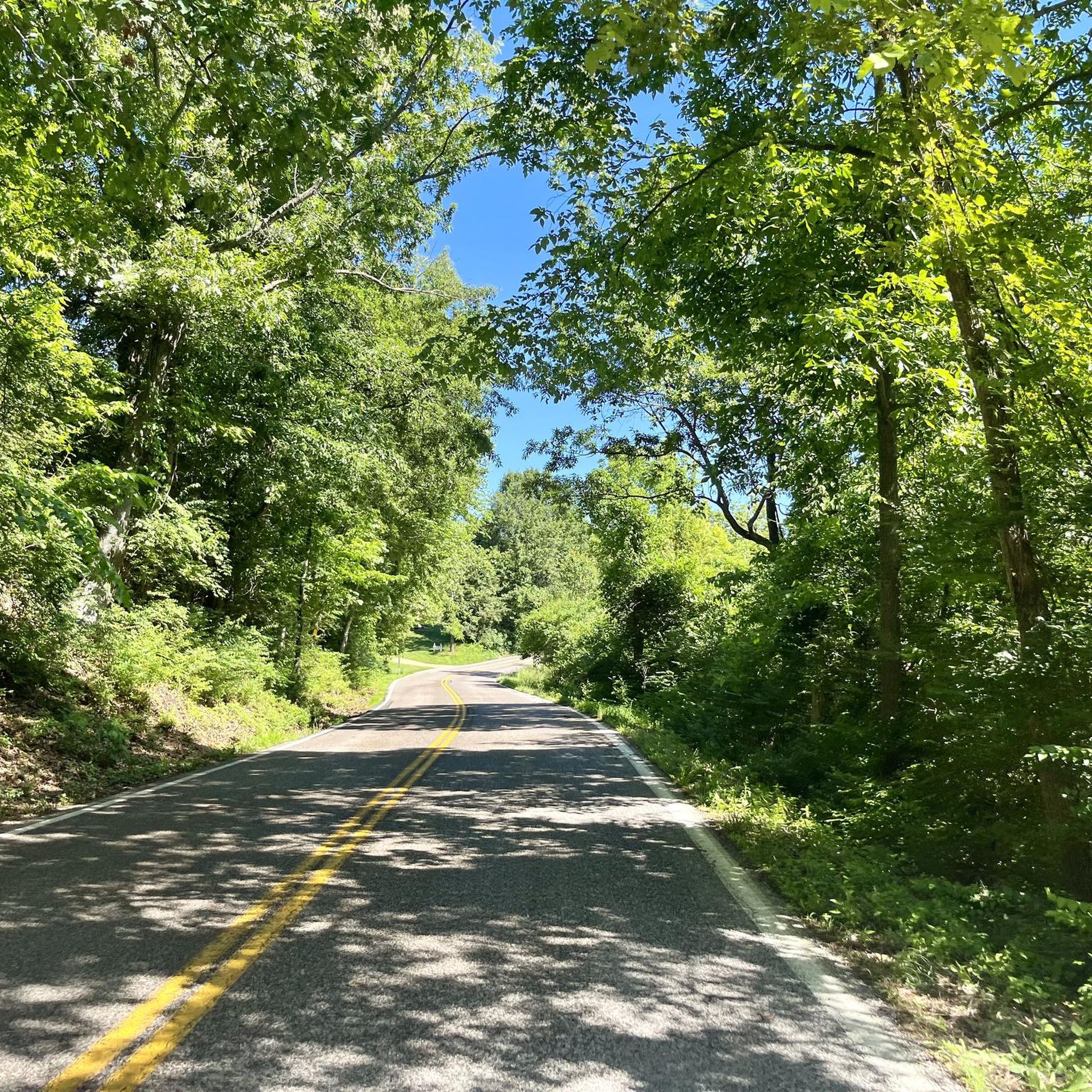
Scenic ride on Woods Avenue through the woods. Moderate climb if you’re going Eastbound, downhill otherwise.
0
0

One of 3 major highway bridges over the Missouri between Weldon and St Charles, MO. The KATY trail through here is as smooth as concrete and the scenery is beautiful!
1
0
Fantastic bike path over the Daniel Boone Bridge. Great views of the Missouri.
1
0
Frequently Asked Questions
How many road cycling routes are available around Clarkson Valley?
There are over 50 road cycling routes available around Clarkson Valley, offering a wide range of options for different skill levels and preferences. The komoot community has explored 59 routes in total.
Are there road cycling routes suitable for beginners in Clarkson Valley?
Yes, Clarkson Valley offers several easy road cycling routes perfect for beginners. There are 16 routes classified as easy, providing relatively flat rides through scenic landscapes. A great option is the Chesterfield Settlers Cemetery – Le Cave Memorial Trailhead loop from Chesterfield, which is 25.6 miles (41.3 km) long with minimal elevation gain.
What kind of terrain can I expect on road cycling routes in Clarkson Valley?
Road cycling routes in Clarkson Valley feature diverse terrain, from flat levee trails along the Missouri River to routes with moderate elevation changes through forested areas and open prairies. You'll find a mix of paved paths and well-maintained gravel sections, particularly on trails like the Katy Trail, which offers both smooth and compact gravel surfaces.
Are there more challenging road cycling routes for experienced riders?
Absolutely. For experienced riders seeking a challenge, Clarkson Valley offers 42 moderate routes and 1 difficult route. An example of a longer, more challenging ride is the Centaur Road – Wild Horse Creek Road loop from Chesterfield, which spans 58.4 miles (94.0 km) with significant elevation gain.
What are the typical lengths of road cycling routes in the area?
Route lengths vary significantly, catering to different preferences. You can find shorter rides, such as the 23.9-mile (38.4 km) Monarch Levee Trail – Centaur Road loop from Chesterfield, or longer excursions like the 58.4-mile (94.0 km) Centaur Road – Wild Horse Creek Road loop from Chesterfield. Many routes fall within the 20-40 mile range.
Are there family-friendly road cycling options near Clarkson Valley?
Yes, Queeny Park, located nearby, offers a network of paved footpaths that are excellent for family-friendly road cycling. These paths wind through diverse landscapes, including native trees and prairies, providing a safe and enjoyable environment for all ages. Additionally, some sections of the Katy Trail are smooth and suitable for families.
What interesting sights or viewpoints can I expect along road cycling routes?
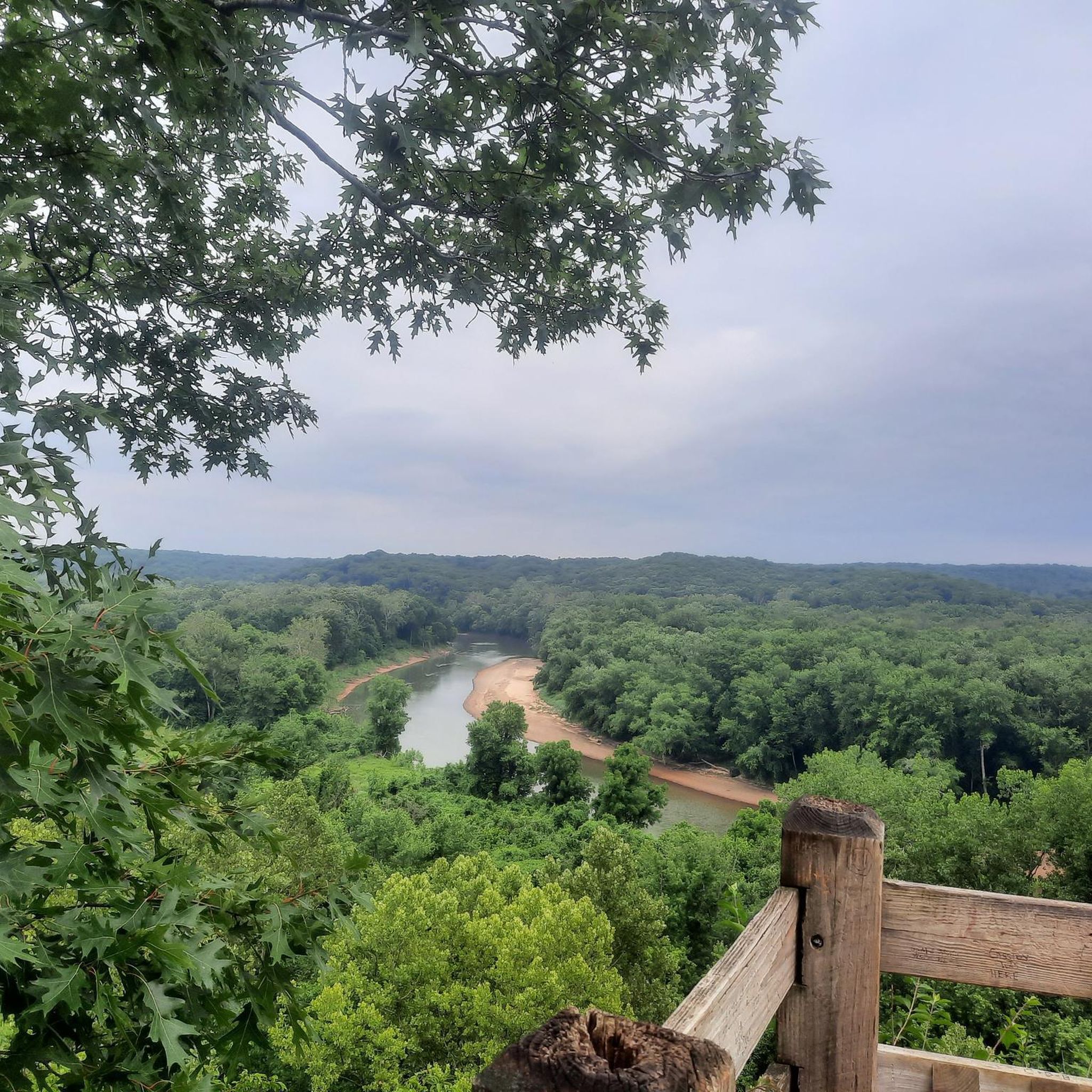
Many routes offer scenic views, especially along the Missouri River. You can find viewpoints like the Missouri River Overlook and the View of the Missouri River from Katy Trail State Park. The Katy Trail itself is a major attraction, offering picturesque riverine landscapes. Nearby Castlewood State Park also features trails like the Lone Wolf Trail with woodland views.
What do other road cyclists enjoy most about road cycling in Clarkson Valley?
The road cycling routes in Clarkson Valley are highly rated by the komoot community, with an average score of 5.0 stars from 5 reviews. Cyclists often praise the varied terrain, from flat levee trails with open views to routes with moderate elevation through forested areas, providing diverse and engaging experiences. The well-maintained surfaces and scenic beauty are frequently highlighted.
Are there any loop trails for road cycling in Clarkson Valley?
Yes, many of the road cycling routes around Clarkson Valley are designed as loops, allowing you to start and end at the same point. Examples include the Chesterfield Settlers Cemetery – Le Cave Memorial Trailhead loop from Chesterfield and the Rockwoods Reservation – Manchester Road loop from Robin Park parking.
What is the best time of year for road cycling in Clarkson Valley?
The region generally offers good cycling conditions from spring through fall, with pleasant temperatures and vibrant scenery. Spring brings blooming wildflowers, while autumn showcases beautiful fall foliage. Summer can be warm, so early morning or late afternoon rides are often preferred. Winter cycling is possible, but conditions may vary with colder temperatures and potential for ice or snow.
Where can I find parking for road cycling routes in Clarkson Valley?
Many routes originate from areas with accessible parking. For instance, the Rockwoods Reservation – Manchester Road loop starts from Robin Park parking. For routes accessing the Katy Trail or Queeny Park, designated parking lots are typically available at trailheads and park entrances.
Are there any specific trails known for their smooth surfaces for road bikes?
Yes, sections of the Katy Trail are described as being 'as smooth as concrete,' making them ideal for road bikes. Additionally, the paved footpaths within Queeny Park offer excellent smooth surfaces for road cycling. The Monarch Levee Trail also provides smooth surfaces with open views.
Most popular attractions around Clarkson Valley

Get inspired with the komoot mobile app


Explore more
Browse the best Road cycling routes in other regions.
