The best walks and hikes around Echtershausen
4.5
(1670)
5,737
hikers
13
hikes
Hiking around Echtershausen offers diverse landscapes within the South Eifel Nature Park, characterized by rolling hills, dense forests, and the clear Prüm river. The region features varied topography, including the scenic Prüm Valley and the Bitburg Reservoir, providing a range of natural environments for outdoor activities. Trails often traverse comfortable forest and field paths, with some routes offering views of the Eifel countryside. The area's elevation changes are generally moderate, making it accessible for various hiking abilities.
Best hiking trails…
Last updated: July 1, 2026
4.8
(8)
34
hikers
Moderate hike. Good fitness required. Mostly accessible paths. Sure-footedness required.
4.9
(7)
20
hikers
11.7km
03:23
300m
300m
Moderate hike. Good fitness required. Easily-accessible paths. Suitable for all skill levels.

Sign up for free
4.8
(4)
18
hikers
4.75km
01:27
170m
170m
Easy hike. Great for any fitness level. Easily-accessible paths. Suitable for all skill levels.
5.0
(2)
10
hikers
15.9km
04:36
410m
410m
Moderate hike. Good fitness required. Easily-accessible paths. Suitable for all skill levels.
5.0
(1)
8
hikers
6.28km
01:54
210m
210m
Easy hike. Great for any fitness level. Easily-accessible paths. Suitable for all skill levels.
Get access to more routes and recommendations from other explorers.
Sign up for free
Already have an account?
Our route recommendations are based on thousands of hikes, rides, and runs completed by other people on komoot.
Start today with a free account
Your next adventure awaits.
Login or Signup
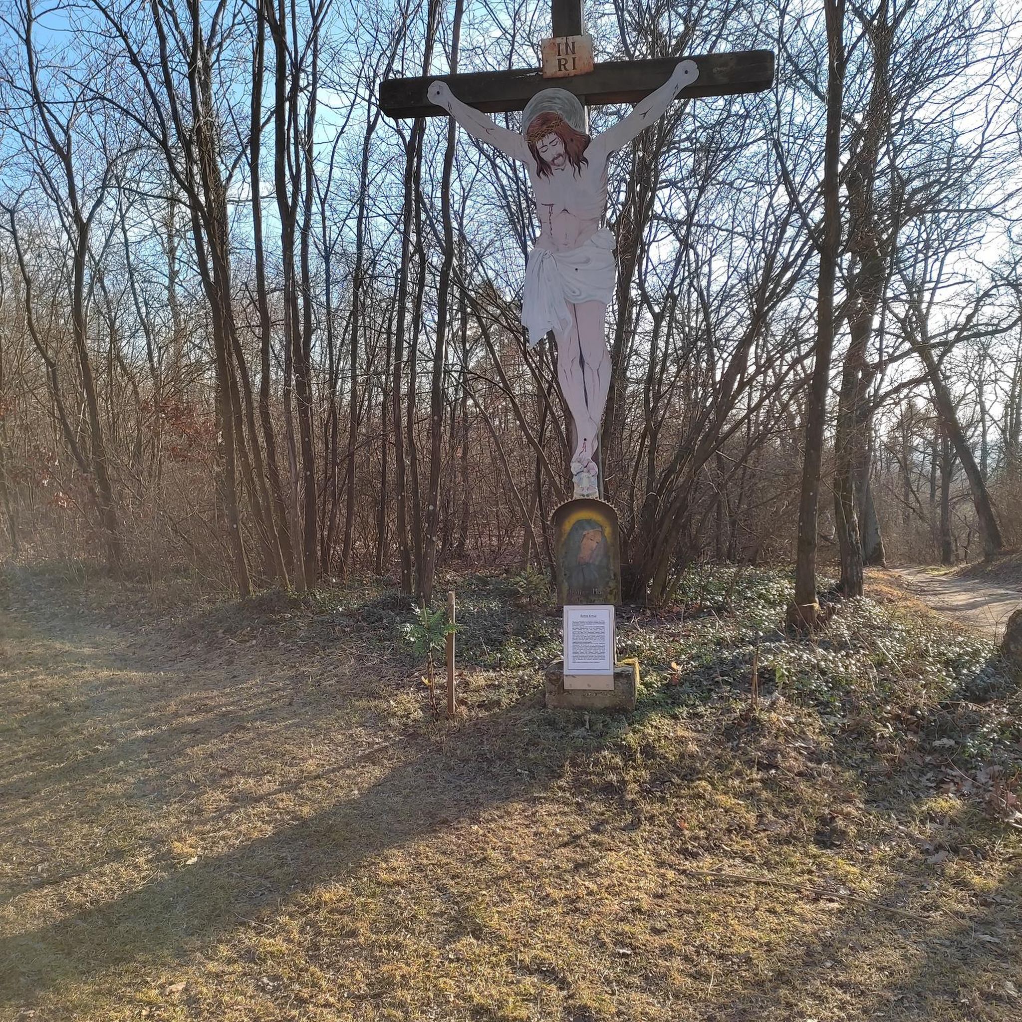
Tips from the Community

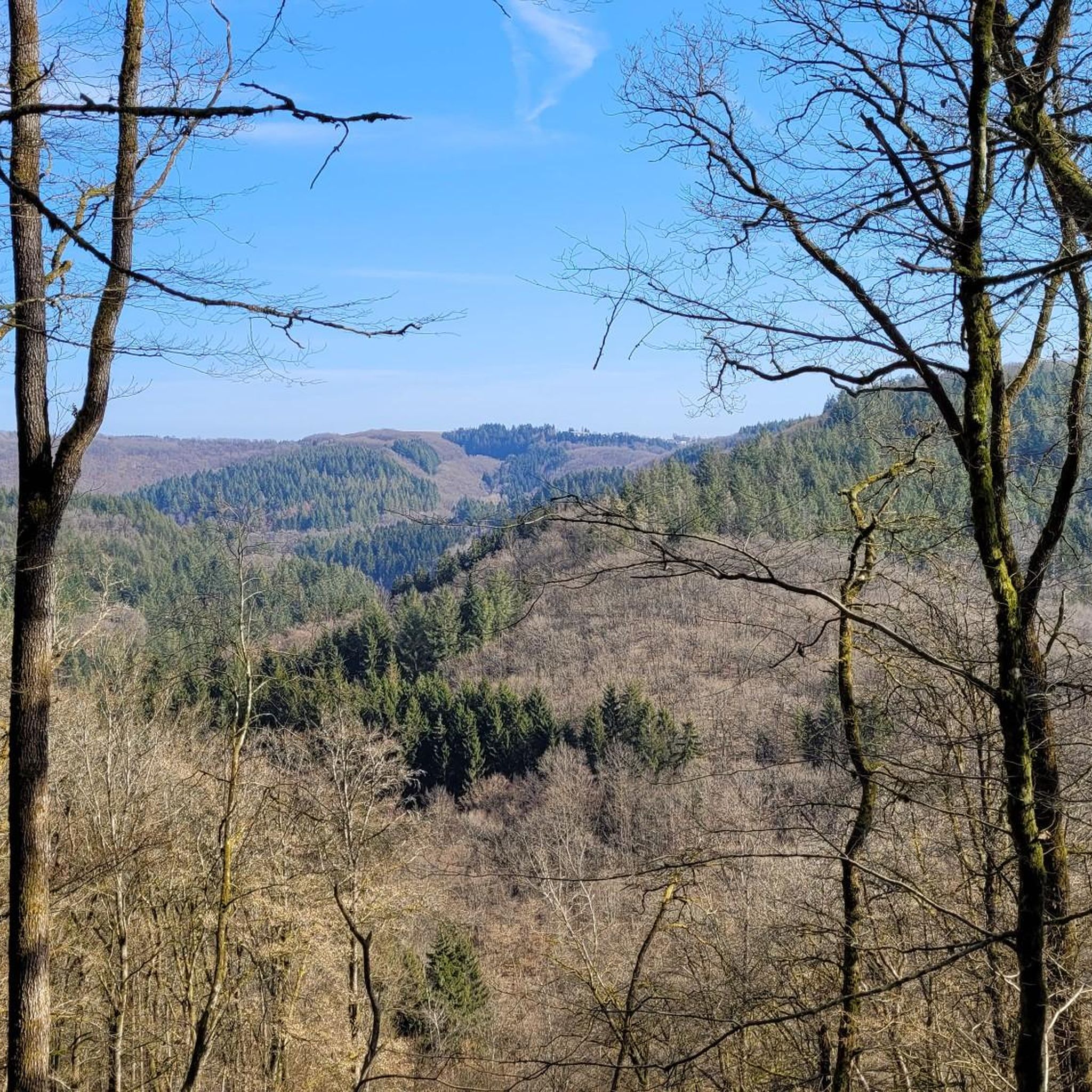
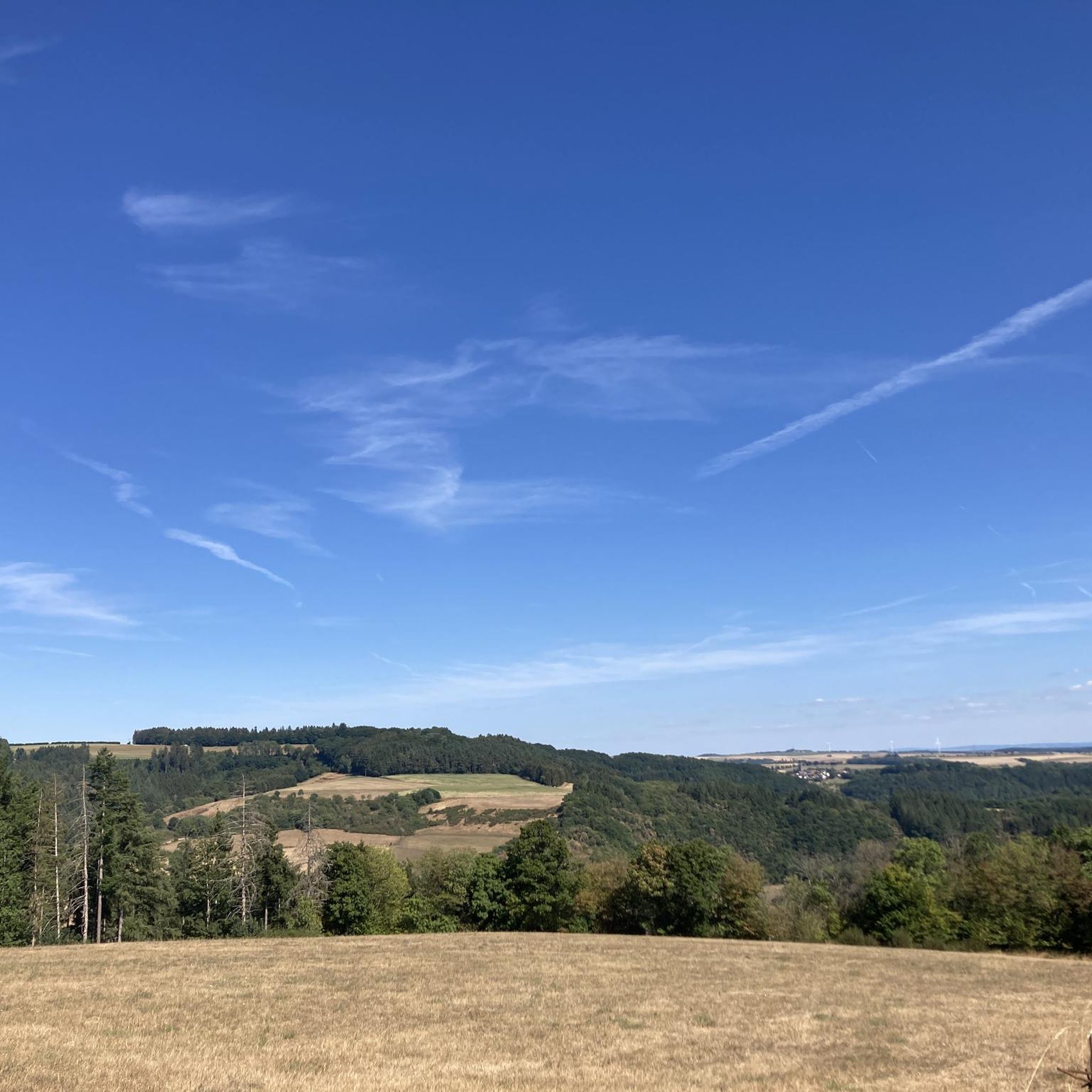
In clear weather, a great view over the Eifel towards Trier (up to the wind turbines in Eisenach).
0
0

Beautiful view down to the reservoir
0
0

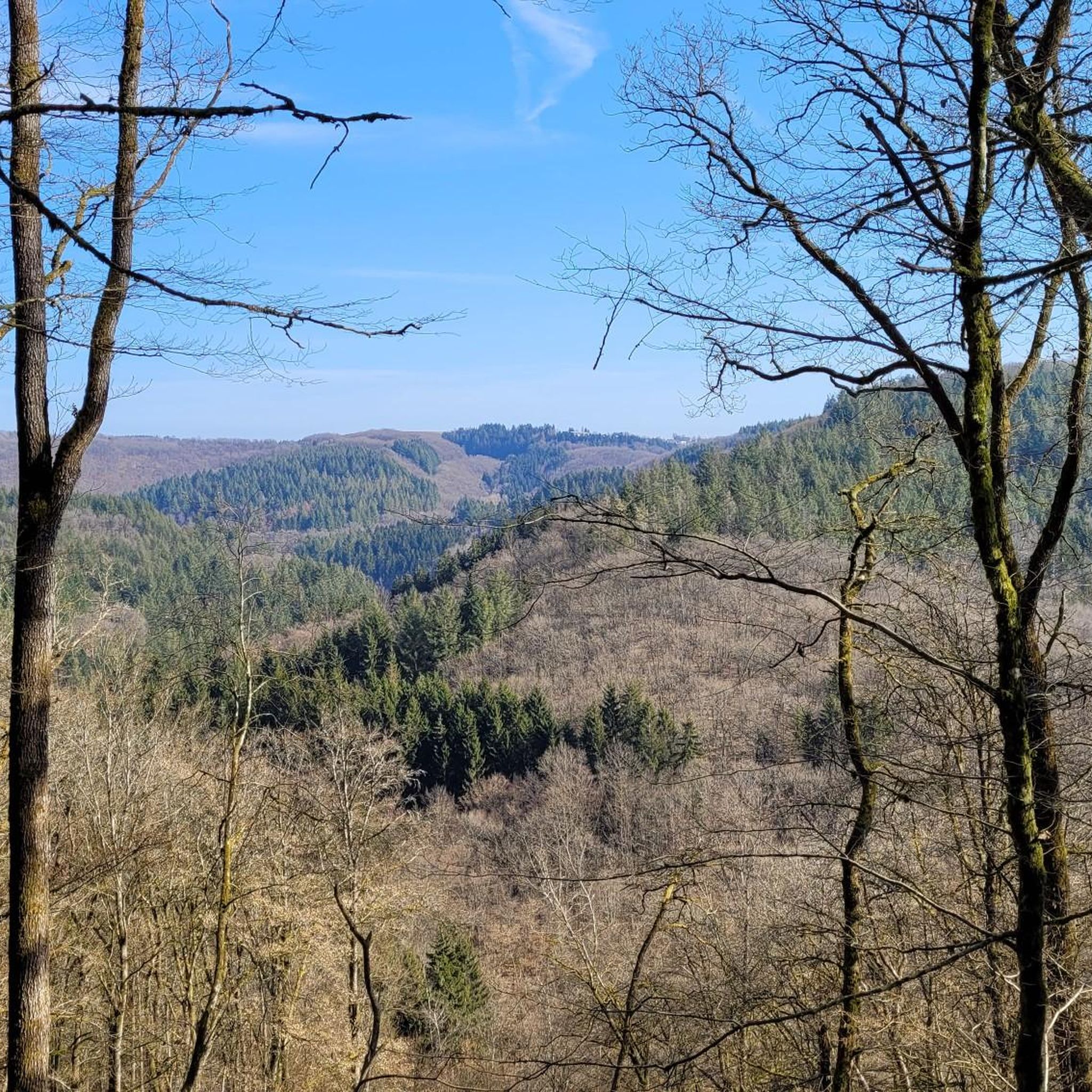
Prum valley is enclosed and has very beautiful views.
0
0

beautiful valley with a bridge over the Prüm
0
0
Beautiful hiking route with a wonderful view.
0
0

the trail is along the left
1
0

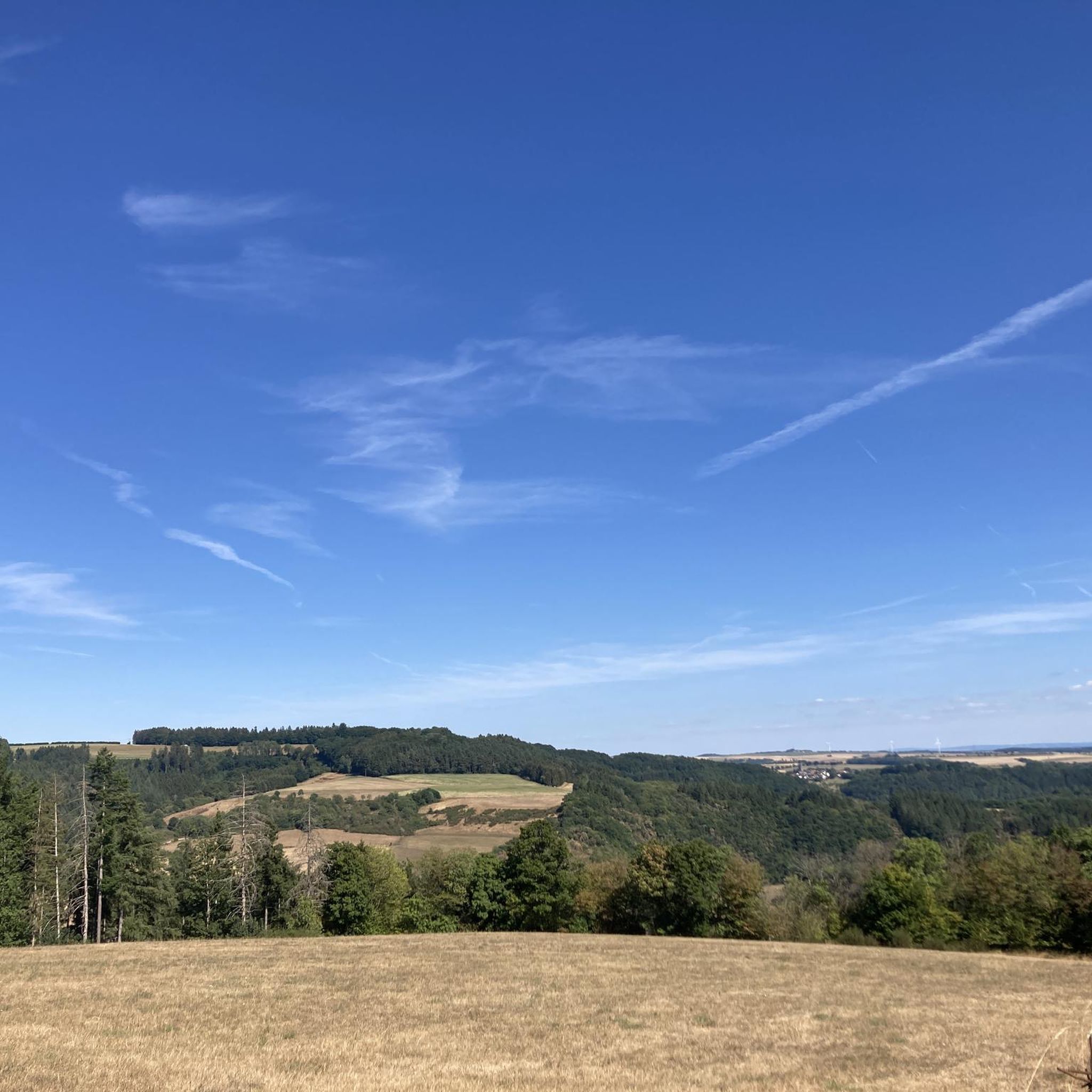
At 413 meters above sea level, the Ringelstein offers a great view over the gentle hills of the southern Eifel to the heights of the Hunsrück beyond the Moselle valley.
5
1
Nice place to pause for a moment and enjoy the great view.
3
0
Frequently Asked Questions
What kind of terrain can I expect on hikes around Echtershausen?
Hikes around Echtershausen primarily feature rolling hills, dense forests, and paths along the clear Prüm river valley. You'll find a mix of comfortable forest and field paths, offering varied scenery within the South Eifel Nature Park.
Are there hiking trails for all skill levels in Echtershausen?
Yes, Echtershausen offers a range of hiking options. The area has 13 routes in total, including 5 easy trails and 8 moderate trails, making it suitable for various hiking abilities from beginners to more experienced trekkers. There are no difficult trails listed.
What natural features or landmarks can I see while hiking near Echtershausen?
Many trails offer views of the scenic Prüm Valley and the Bitburg Reservoir. You can also explore highlights like the Mariensäule Waxweiler or the Roter Puhl Sandstone Cliffs on the Enz. The Bitburg Reservoir itself is a significant landscape feature with dedicated routes.
Are there any historical sites or castles accessible by hiking trails?
Yes, the area combines natural beauty with cultural points of interest. For example, the Old Wayside Cross – Merkeshausen Castle loop from Echtershausen takes you past Merkeshausen Castle. Additionally, Rittersdorf Castle is another notable attraction in the vicinity.
Are there family-friendly hiking trails suitable for children in Echtershausen?
Yes, Echtershausen offers several easy routes that are well-suited for families. Trails like the Old Wayside Cross loop from Echtershausen, which is 2.8 miles (4.6 km) long, provide comfortable forest and field paths ideal for a family outing.
When is the best time of year to go hiking in Echtershausen?
The South Eifel Nature Park is beautiful year-round. Spring and autumn offer pleasant temperatures and vibrant colors, while summer provides lush greenery. The well-marked paths along the Prüm valley are generally accessible, making it a good destination for hiking in most seasons.
What do other hikers enjoy most about hiking in Echtershausen?
The hiking experiences in Echtershausen are highly rated by the komoot community, with an average score of 4.5 stars from over 1600 reviews. Hikers often praise the diverse landscapes, the tranquility of the Prüm Valley, and the well-maintained trails that offer expansive views of the Eifel countryside.
Are there any circular hiking routes available in Echtershausen?
Yes, many routes in Echtershausen are designed as loops, allowing you to start and end at the same point. Examples include the popular View of the Südeifel Highlands – View of the Eifel Countryside loop from Echtershausen and the View of the Prüm River – View of the Eifel Hills loop from Echtershausen.
Can I find trails with good viewpoints in the Echtershausen area?
Absolutely. Many trails are known for their scenic vistas. The View of the Südeifel Highlands – View of the Eifel Countryside loop from Echtershausen is specifically highlighted for its expansive views of the surrounding Eifel landscape. The Prüm Valley also offers numerous picturesque spots.
Is parking available at the trailheads in Echtershausen?
While specific parking information for each trailhead is not detailed, Echtershausen is a well-established hiking destination within the South Eifel Nature Park. It is generally expected that parking facilities are available near popular starting points for trails, especially in and around the village.
Are there any long-distance hiking trails that pass through Echtershausen?
Yes, for more experienced hikers, the renowned Eifelsteig, a 313-kilometer long-distance trail from Aachen to Trier, passes through the Eifel region, offering an immersive experience of the landscape. While not starting directly in Echtershausen, sections are accessible nearby.
What is the typical elevation gain on trails in Echtershausen?
The elevation changes in Echtershausen are generally moderate, reflecting the rolling hills of the region. For instance, a moderate route like the View of the Südeifel Highlands – View of the Eifel Countryside loop from Echtershausen has an elevation gain of around 268 meters.
Most popular routes around Echtershausen
Most popular attractions around Echtershausen

Get inspired with the komoot mobile app


Explore more
Browse the best Hikes in other regions.
