The 20 Most Amazing Peaks around Bad Sobernheim
Best mountain peaks around Bad Sobernheim are characterized by rolling hills, scenic valleys, and wooded areas. The region offers elevated points and hiking trails that provide notable views and natural attractions. These locations present opportunities for hiking and experiencing the tranquil beauty of the Bad Sobernheim region. The trails cater to various fitness levels, from easy strolls to moderate hikes.
Best mountain peaks around Bad Sobernheim
- The most popular mountain peaks is Koppenstein Tower and Ruins, a castle that…
Last updated: May 11, 2026
Ellerspring
Highlight • Summit
Translated by Google •
Tip by

Lemberg Viewpoint
Highlight • Viewpoint
Translated by Google •
Tip by

Sign up now to discover places like this
Get recommendations on the best single tracks, peaks, & plenty of other exciting outdoor places.
Sign up for free
Koppenstein Tower and Ruins
Highlight • Castle
Translated by Google •
Tip by

Alteburg Tower
Highlight • Monument
Translated by Google •
Tip by

Simmerkopf — Highest Point in the Rhein-Hunsrück District
Highlight • Summit
Translated by Google •
Tip by

Sign up for free to discover even more peaks around Bad Sobernheim.
Sign up for free
Already have an account?
Start today with a free account
Your next adventure awaits.
Login or Signup
Popular around Bad Sobernheim
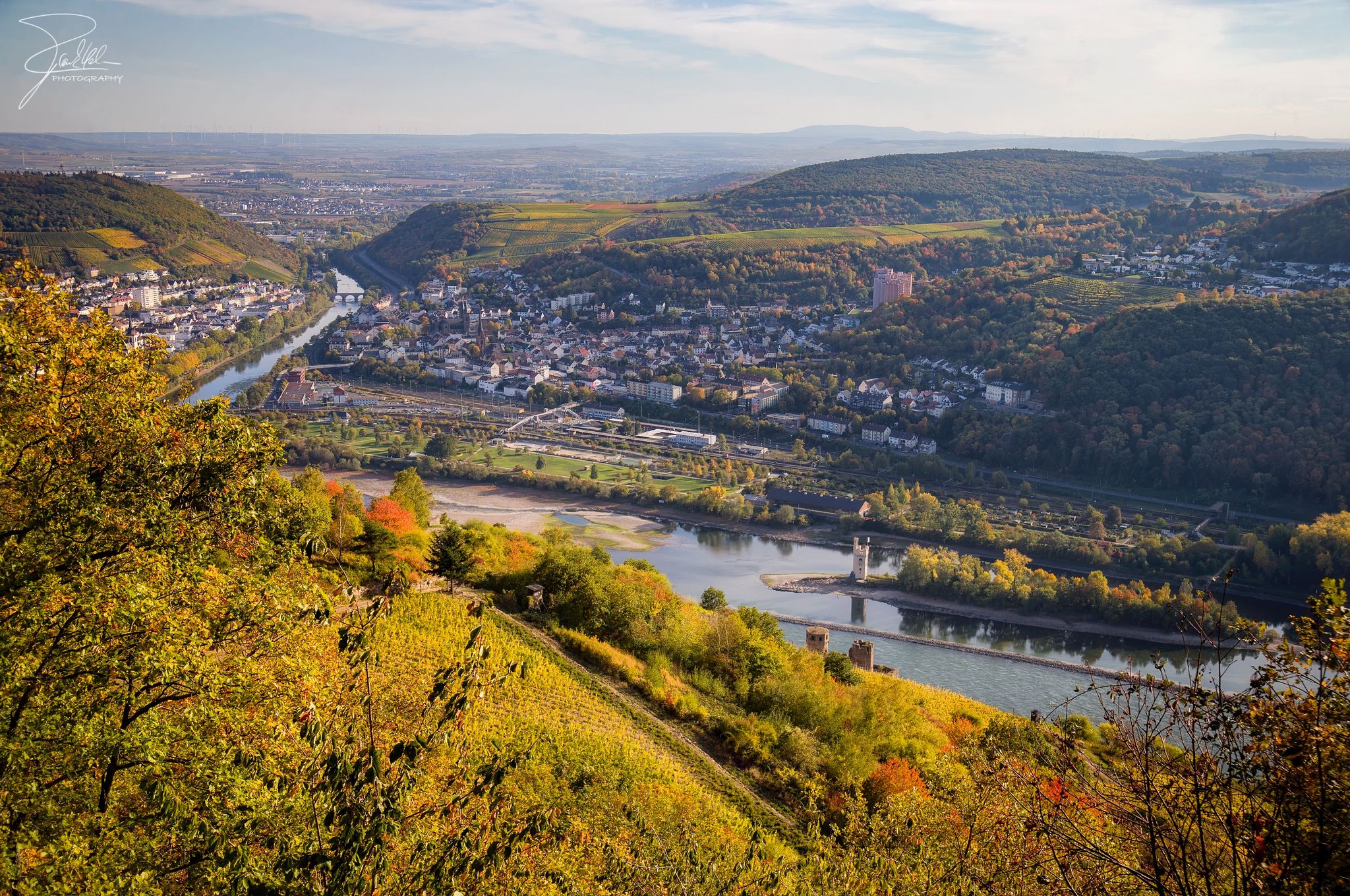
The Nahe Cycle Path – Between Rocks and Vines
The National Natural Landscapes in Rheinland-Pfalz
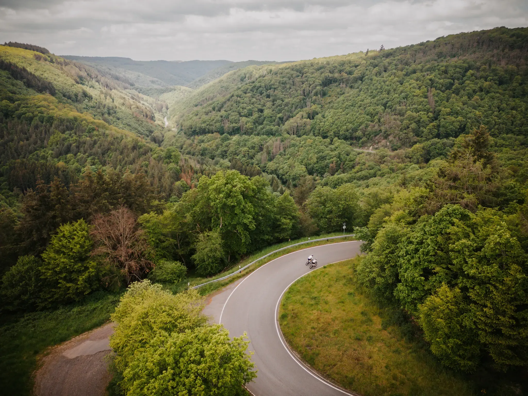
Make your road cycling dreams come true in the Hunsrück-Nahe region
The Soonwaldsteig – A 6-stage trek in the Hunsrück
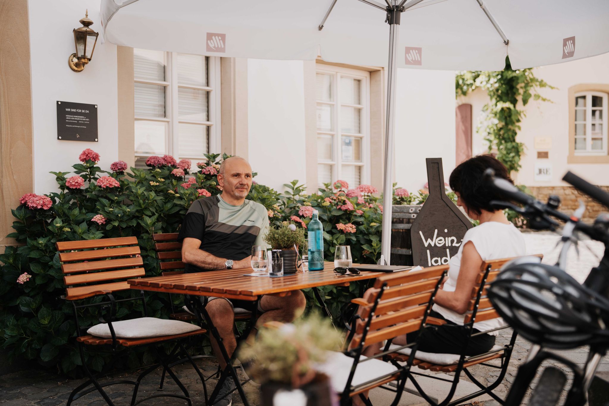
Genussradeln an der Nahe
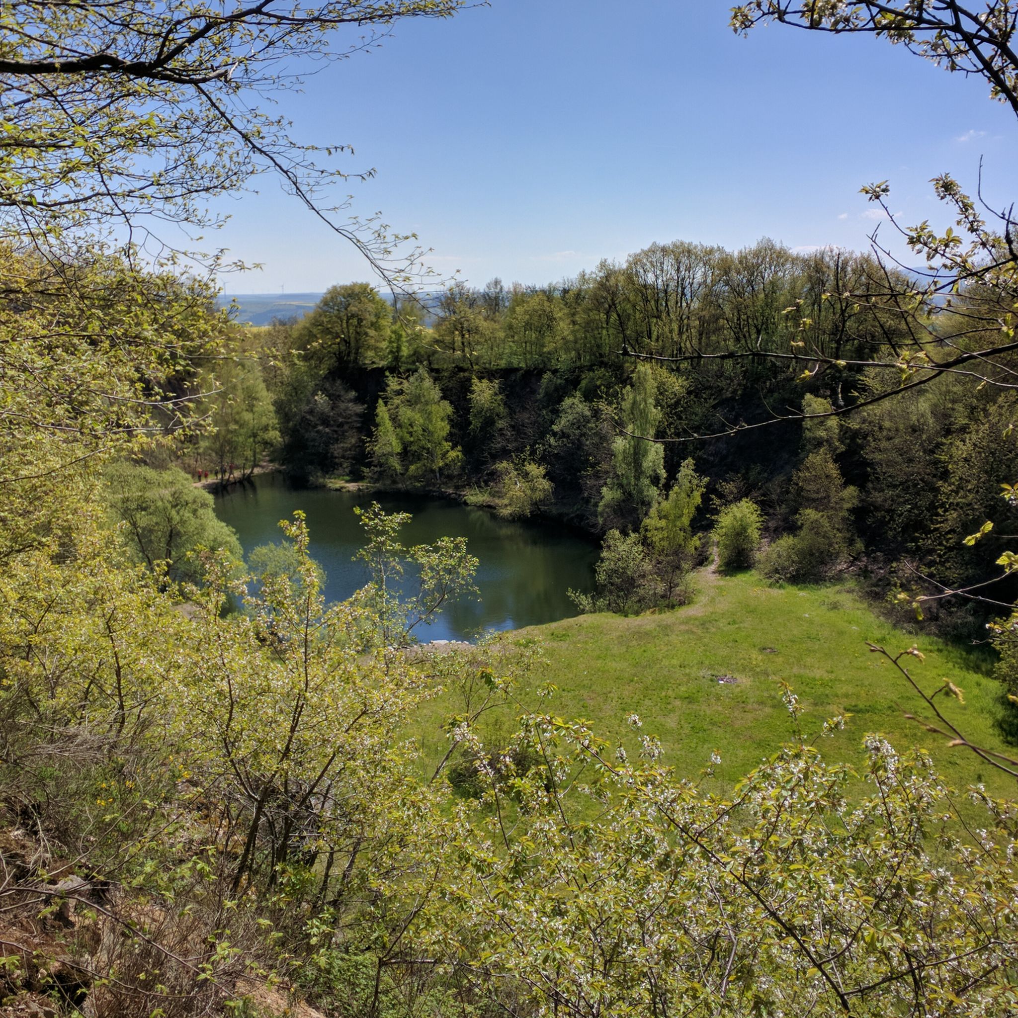
Hiking around Bad Sobernheim
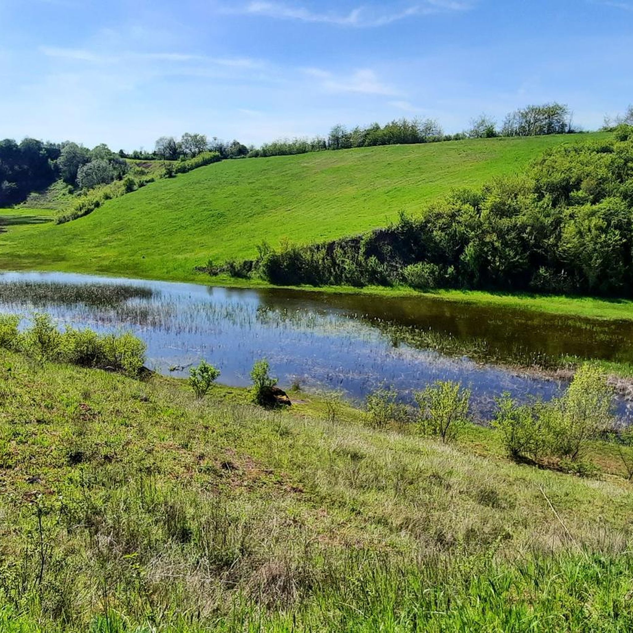
Road Cycling Routes around Bad Sobernheim
Running Trails around Bad Sobernheim
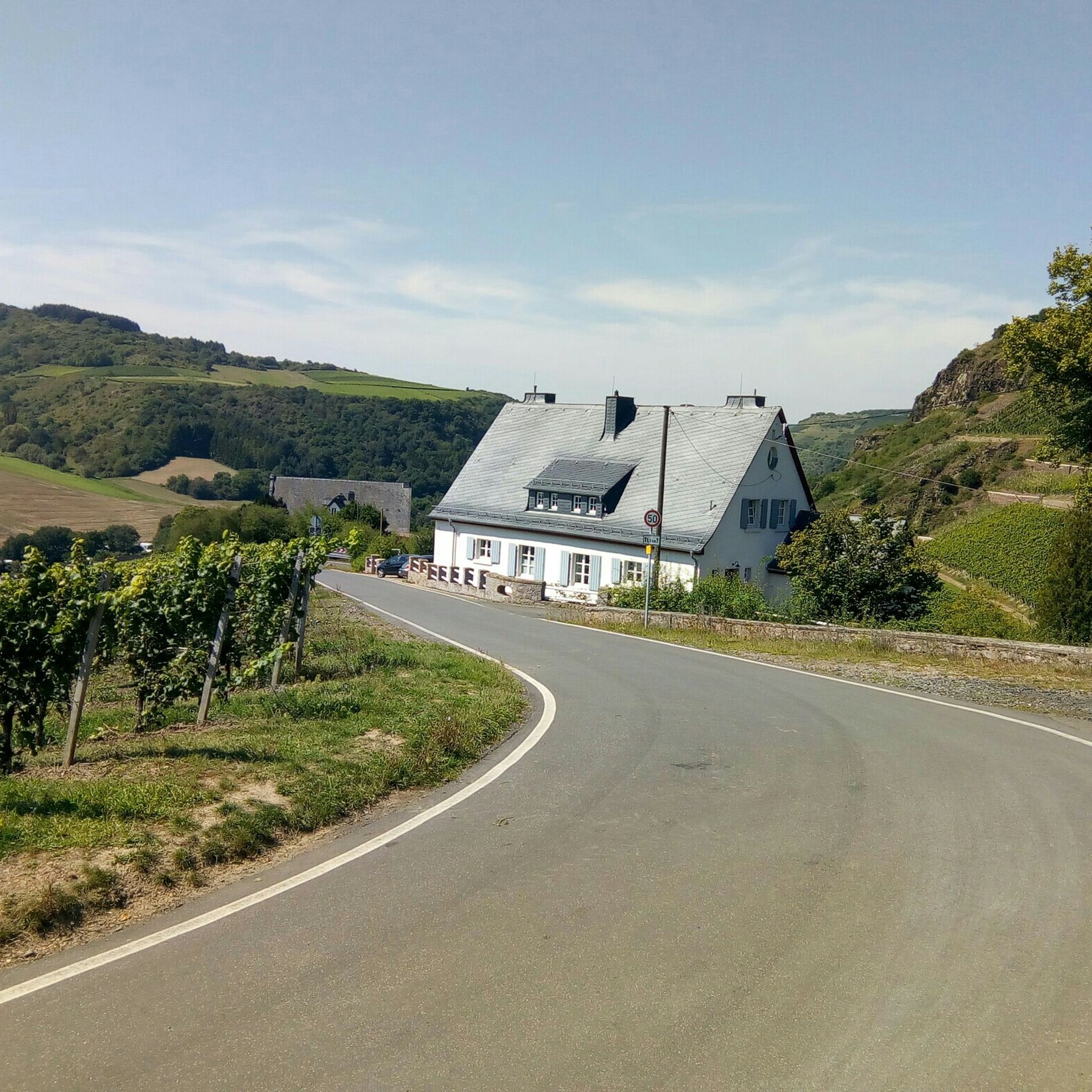
Cycling around Bad Sobernheim
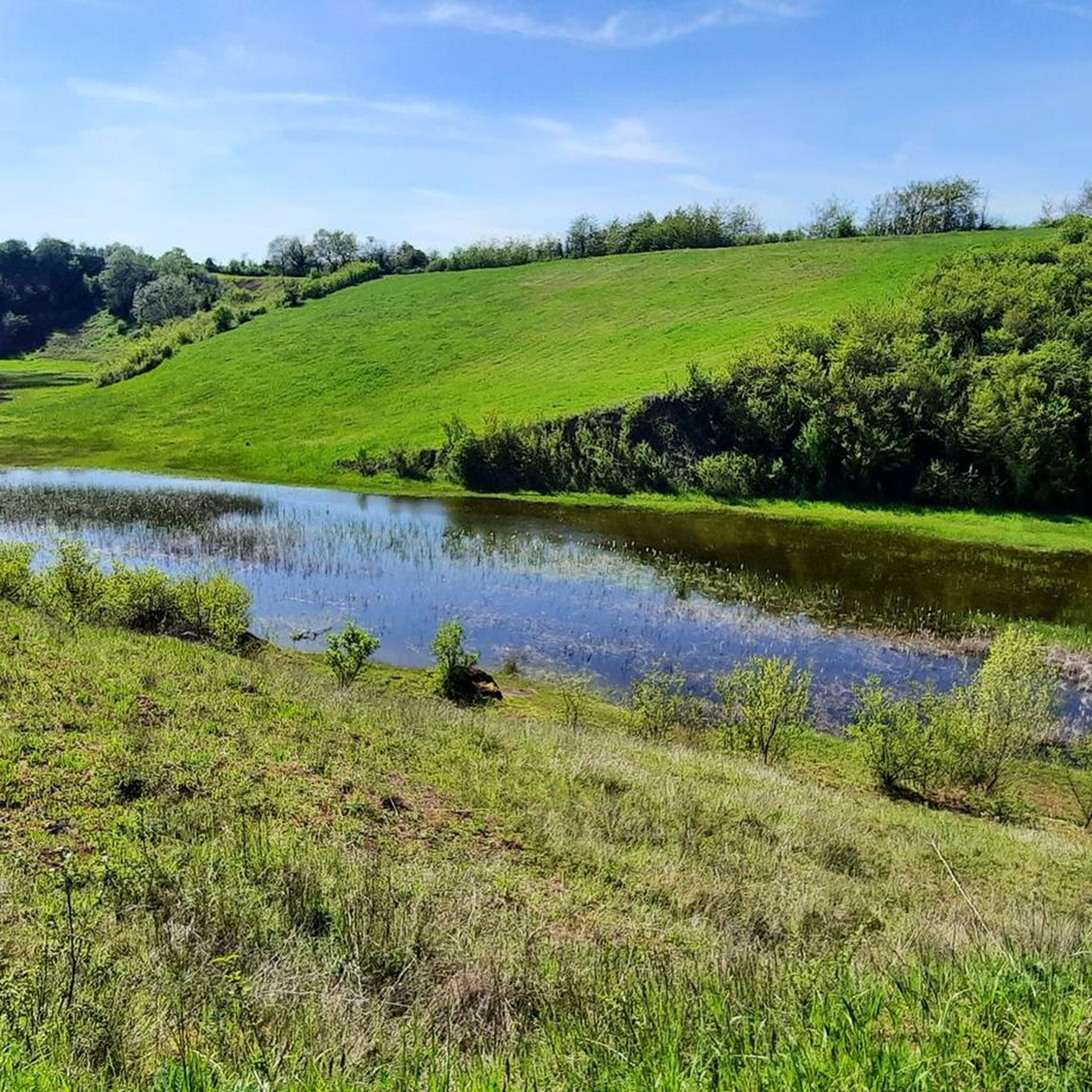
MTB Trails around Bad Sobernheim
Other adventures around Bad Sobernheim


Tips from the Community

Right next to the cross there is a table with a bench, a great place for a rest.
1
0

This impressive tower can be seen from far away
1
0

Great forest lots of opportunities for biking
1
0

An imposing tower and especially with snow and sun - it is fenced in but you can walk around the fence
0
1

Northeast of the Ellerspring summit is the 107 m high Ellerspring radio tower, which was built as a type tower FMT 11 in reinforced concrete. It is owned by Deutsche Telekom AG. TV and radio stations used to be fed into the cable from there. The tower supplied the districts of Bad Kreuznach, Birkenfeld, Mainz-Bingen and Alzey-Worms as well as the Rhein-Hunsrück district and Donnersberg district. Today it only serves as a reserve for TV and radio, but forwards the signal for cable TV via radio relay to the Bad Kreuznach radio tower for supplying Bad Kreuznach. Source: http://wikimapia.org/29299283/de/Funkmeldeturm-Ellerspring
3
0

Why don't you write the same way as you get to this trekking camp. Why do I have to do some research first
1
6

! DUPLICATE of the marking - original marking is called "tower"! Very nice observation tower, but relatively well visited. For mountain bikers, the trail up or back down is more of a highlight :) The tower briefly in the video at 9:48-10:25 https://www.youtube.com/watch?v=3bRo8vTaEs8
2
0
Nice spot with a place to rest. Lots of exciting forest paths nearby - also some trails. In the video at 21:02: https://www.youtube.com/watch?v=IQgBtcGjaiM
4
0
Frequently Asked Questions
What are some of the most popular elevated points and viewpoints around Bad Sobernheim?
Visitors frequently enjoy the Koppenstein Tower and Ruins, which offers a 360-degree panoramic view of the Hunsrück plateau. Another favorite is the Alteburg Tower, providing wide landscape views from its 20-meter high lookout. The View of the Nahe Valley from Lemberghütte Observation Platform is also highly rated for its well-secured deck overlooking the Nahe valley.
Are there any historical sites or ruins to explore on these elevated points?
Yes, the region offers a blend of natural beauty and history. The Koppenstein Tower and Ruins is a significant historical site featuring a climbable 16-meter high keep. Additionally, the Disibodenberg area, while not a towering peak, is known for its monastery ruins and can be explored as part of a moderate hiking loop.
What kind of views can I expect from the elevated points in the Bad Sobernheim region?
The elevated points around Bad Sobernheim offer diverse scenic vistas. From the Koppenstein Tower, you can enjoy a 360-degree panoramic view of the Hunsrück plateau. The Alteburg Tower provides expansive views over the wide landscape. For river valley scenery, the Lemberghütte Observation Platform offers excellent views over the Nahe valley.
Are there family-friendly hiking options among the elevated areas?
Yes, several spots are suitable for families. The View of the Nahe Valley from Lemberghütte Observation Platform is considered family-friendly, featuring a well-secured observation deck. The Maasberg also offers the 'Felke Healing and Active Forest Healing Forest Trail,' which includes stations for nature observation and meditation, providing a restorative experience for all ages.
What are some options for easy hikes around Bad Sobernheim's elevated points?
For easier walks, you can explore routes like the 'Gottesbrünnlein Fountain – Nahe River Barefoot Crossing loop' or the 'View of Bad Sobernheim – Gottesbrünnlein Fountain loop.' The 'Zwei Eichen Natural Monument – Maasberg Forest Nature Trail loop' is also an easy option, focusing on the natural oak forest. You can find more easy hikes in the Easy hikes around Bad Sobernheim guide.
Are there more challenging hikes for experienced trekkers?
While the region is characterized by rolling hills, some trails offer moderate challenges. The loop hike featuring Ellerspring, the highest mountain in the Soonwald, includes intricate single trails. The Simmerkopf, the highest point in the Rhein-Hunsrück district, is also part of routes that can be combined for longer, more demanding treks.
What outdoor activities, besides hiking, can I do near these elevated points?
Beyond hiking, the Bad Sobernheim region offers opportunities for mountain biking and general cycling. You can find various routes, such as the 'Bridge Houses in Bad Kreuznach – View of Ebernburg Castle loop' for MTB enthusiasts, or the 'Nahe Cycle Route – Wehrfritzsche Paper Mill loop' for touring cyclists. Explore more options in the MTB Trails around Bad Sobernheim and Cycling around Bad Sobernheim guides.
What do visitors enjoy most about the elevated points in Bad Sobernheim?
Visitors particularly appreciate the panoramic views, especially from locations like the Koppenstein Tower, which offers a 360-degree vista. The well-secured observation deck at the Lemberghütte Observation Platform is also a favorite for its stunning views of the Nahe valley. Many also enjoy the blend of nature and history, such as the monastery ruins at Disibodenberg.
Are there any hidden gems or less-known spots worth visiting?
While popular spots are well-loved, the Ellerspring, the highest mountain in the Soonwald, offers a unique experience with its hidden trekking camp. Booking in advance provides GPS coordinates to this secluded spot, offering a more off-the-beaten-path adventure for those seeking tranquility.
What is the highest point in the Bad Sobernheim region?
The highest point in the Rhein-Hunsrück district, which includes parts of the Bad Sobernheim region, is the Simmerkopf, standing at 653 meters above sea level. While its summit is forested, it features a cross with explanations and a resting bench, marking this significant elevation.
Can I find places for rest or shelter along the trails?
Yes, some elevated points offer facilities for rest. The Alteburg Tower includes a small shelter in addition to its observation deck. The Maasberg area features the Hubertuslust rest area along the 'Felke Healing and Active Forest Healing Forest Trail,' providing a place to pause and enjoy nature.
Most popular routes around Bad Sobernheim
Most popular attractions around Bad Sobernheim

Get inspired with the komoot mobile app


Explore more
See even more amazing summits around Bad Sobernheim with these guides:
