The 20 Most Amazing Peaks around Bad Salzungen
Best mountain peaks around Bad Salzungen are situated within the Thuringian Forest, offering diverse natural landscapes. This region provides access to various summits, each presenting unique features for exploration. Visitors can find panoramic views, historical insights, and notable geological formations. The area is suitable for hikers seeking both challenging routes and family-friendly excursions.
Best mountain peaks around Bad Salzungen
- The most popular mountain peaks is Pleß Tower, a viewpoint that offers extensive panoramic vistas of the surrounding landscape. It…
Last updated: September 27, 2026
Pleß Tower
Highlight • Viewpoint
Translated by Google •
Tip by

Öchsenberg Summit and Celtic Cross
Highlight • Summit
Translated by Google •
Tip by

Sign up now to discover places like this
Get recommendations on the best single tracks, peaks, & plenty of other exciting outdoor places.
Gläserberg Summit and Dermbach Hut
Highlight • Summit
Translated by Google •
Tip by

Oechsenberg Hut (Öchsenberg Summit Hut)
Highlight • Mountain Hut
Translated by Google •
Tip by

Krayenburg Castle Ruins
Highlight • Castle
Translated by Google •
Tip by

Sign up for free to discover even more peaks around Bad Salzungen.
Already have an account?
Start today with a free account
Your next adventure awaits.
Popular around Bad Salzungen
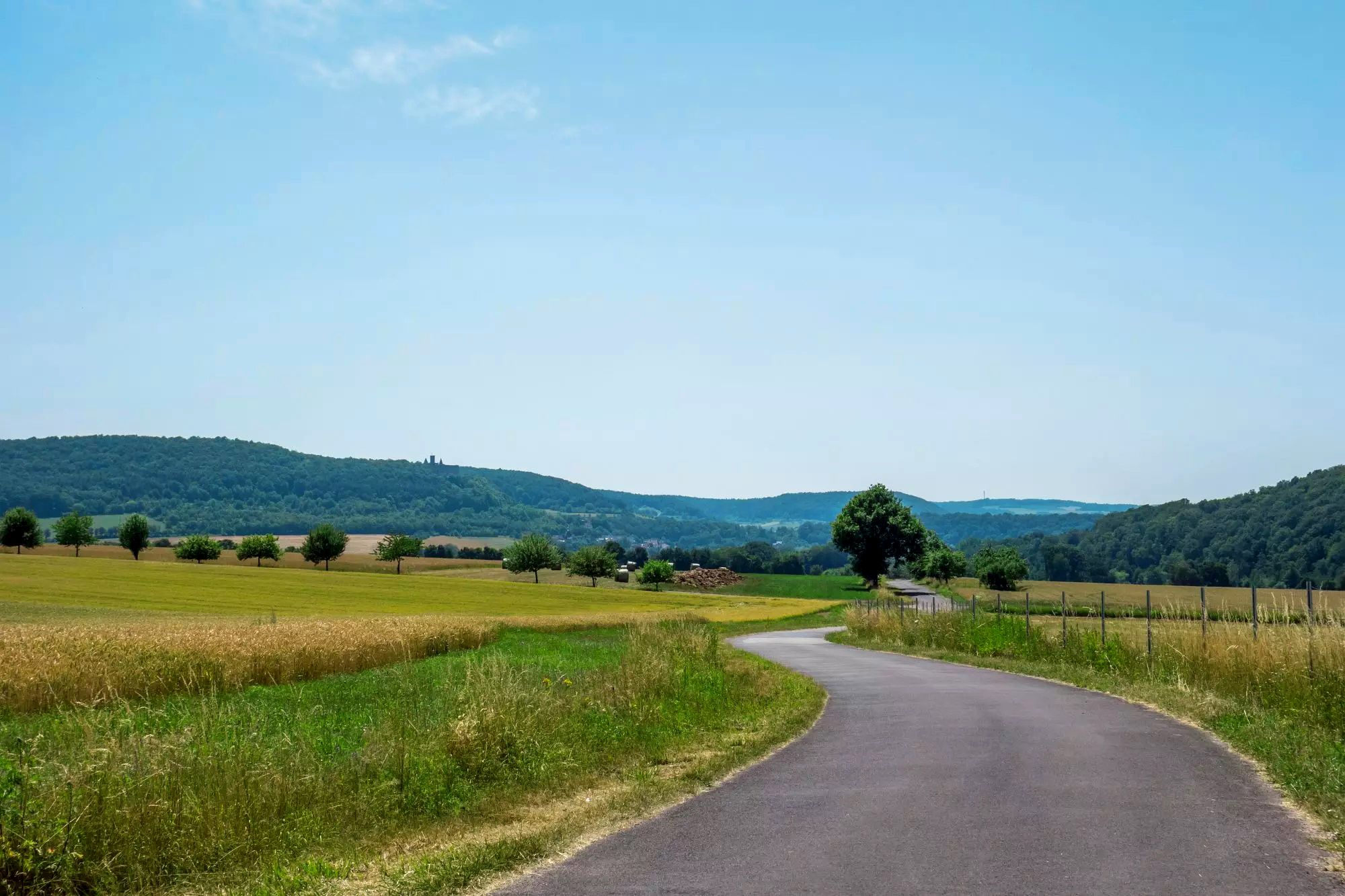
Rhön Cycleway in Germany – Cycling in the Land of Open Distances
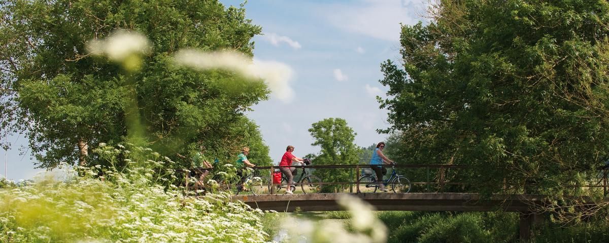
The most beautiful long-distance cycle paths in Franconia
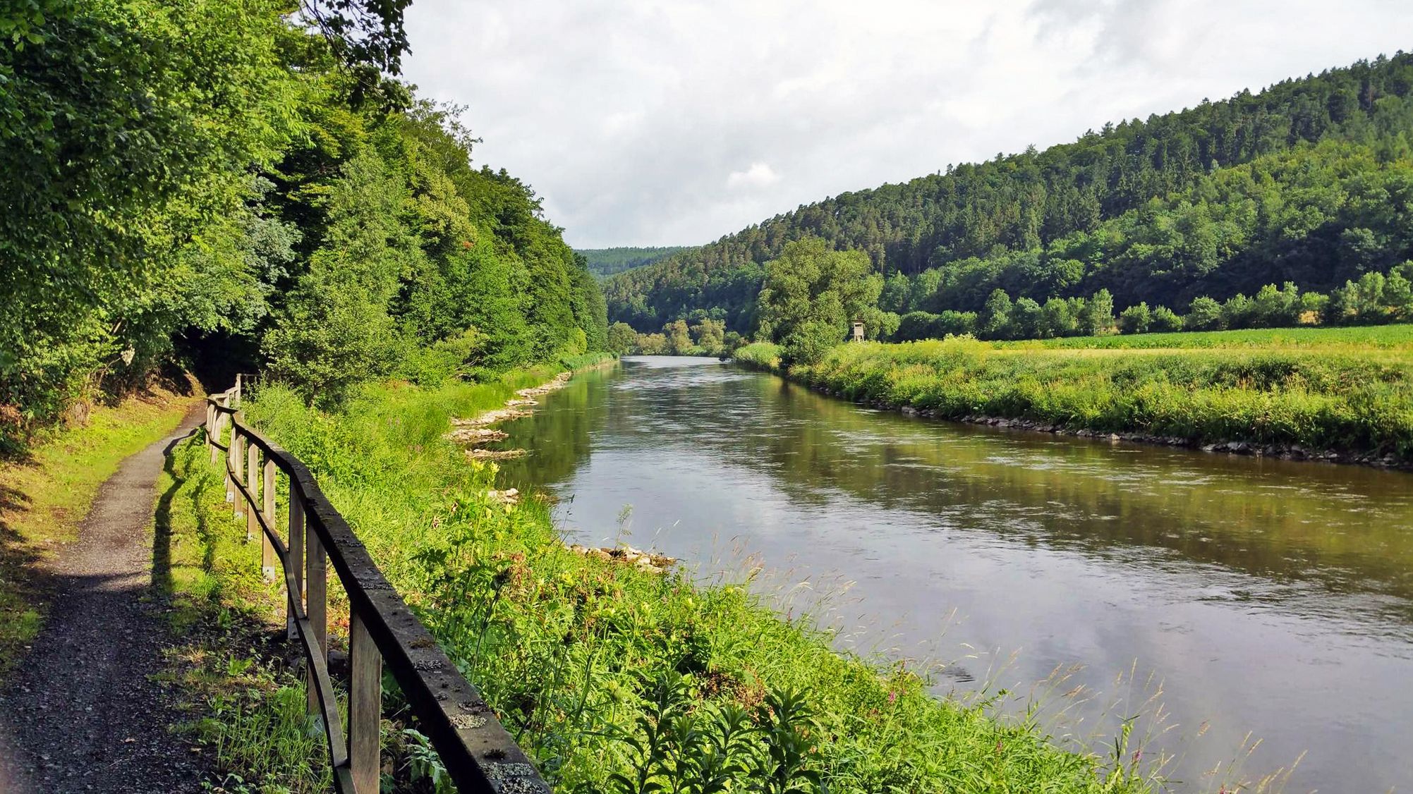
Werratal cycle path — 6 stages along the Werra to the Fulda
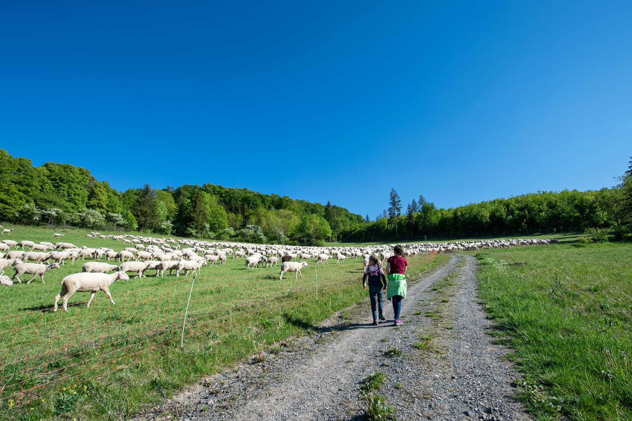
Family paths - on the way with kids in the Rhön
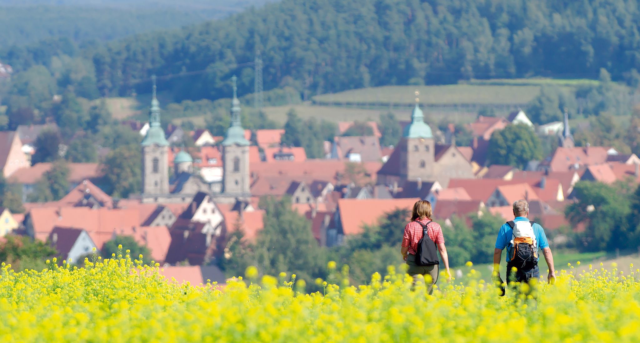
Unforgettable panoramic views — the most beautiful long-distance hikes in Franconia
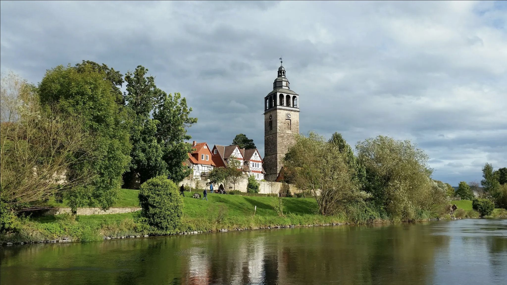
Werra-Burgen-Steig trail – castles and forests in 3 states
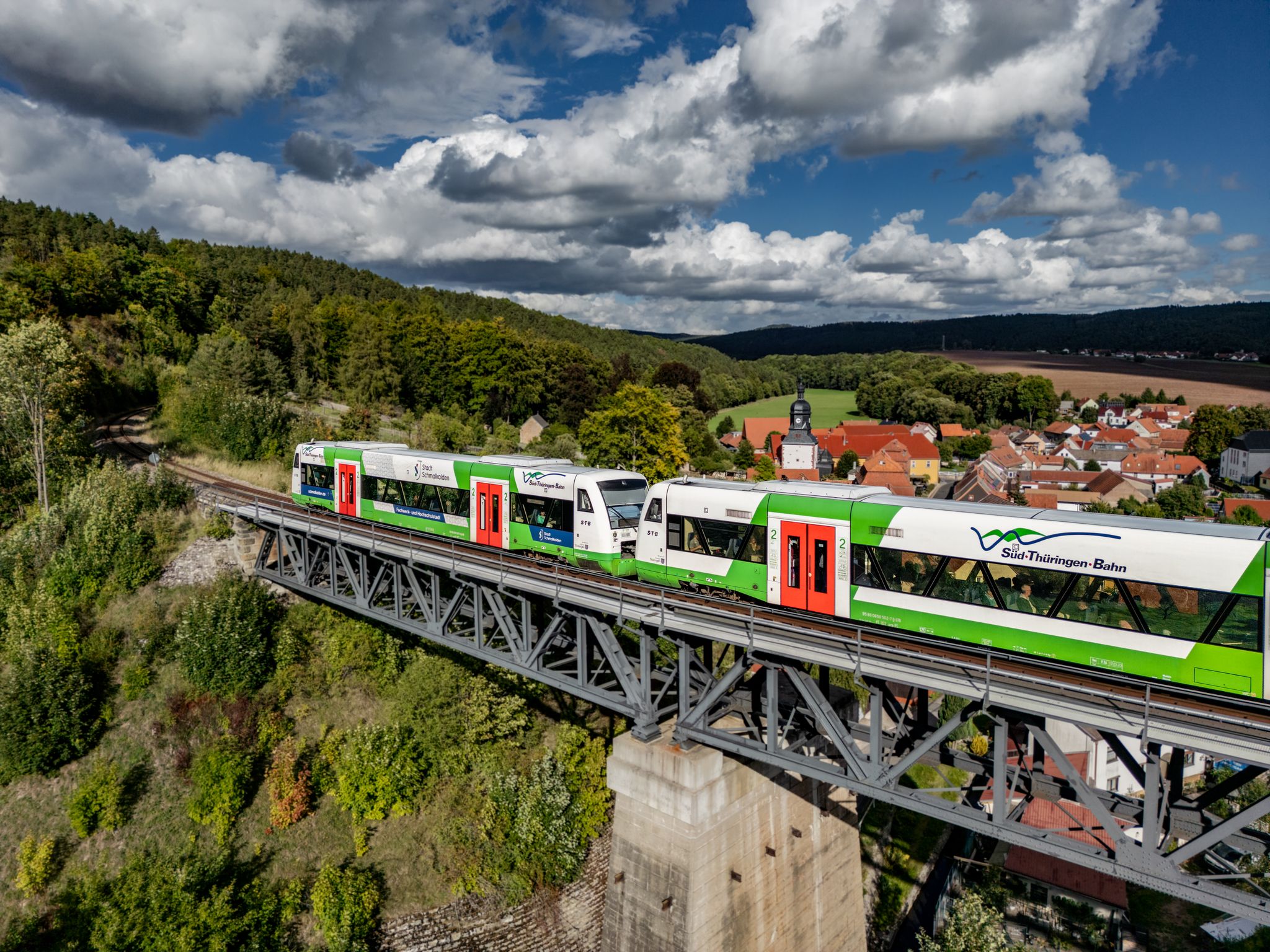
Zwischen Werra und Wartburg – Wandern mit der Süd•Thüringen•Bahn
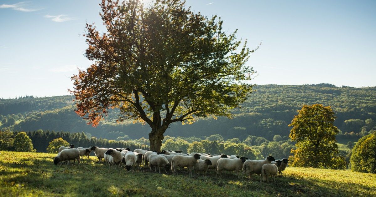
Hoch hinaus und weit geschaut – Die schönsten Radrouten der Rhön
Cycling around Bad Salzungen
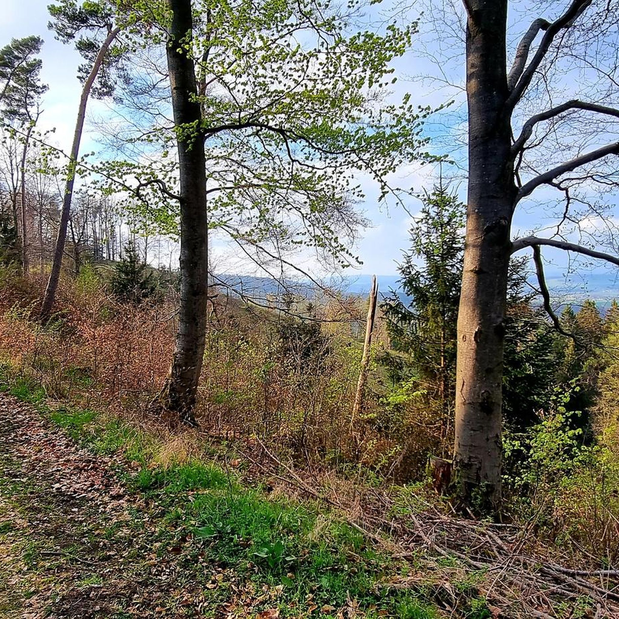
Hiking around Bad Salzungen
Other adventures around Bad Salzungen


Tips from the Community

The hut is open every Sunday from April to October, as well as on all Thuringian holidays, from 10 a.m. to 6 p.m. If the crowds that gather up here in good weather are too much and too loud for you, it's better to go up on other days.
1
0

Next to the ruins of the old Krayenburg is the new Krayenburg. Unfortunately, it is only open on a few weekends.
6
0
The ruins of the Krayenburg on the Krayenberg are a place with ancient history. The ruins are not directly accessible, but can be viewed.
6
0

This view is unparalleled and makes hikers pause in awe on the summit of the Gläserberg. No tree, no bush obscures the view from the bare mountaintop, which greets visitors from afar. Anyone who has managed the climb to the 671-metre-high Gläserberg is rewarded with a fantastic panoramic view. A panorama that stretches far beyond the borders, with the Wartburg (34 km) in the north, the Schneekopf (47 km) in the east, the Heidelstein (26 km) in the south and the Rößberg (14 km) in the west at the hiker's feet. A beautiful spot on earth, which was sung about in the Gläserlied long ago with the words: "Happy hikers will flock from all over the wide Rhön to look out into the distant lands from your proud heights!" Source:https://www.rhoenforum.de/tourismus-tipps/wanderh%C3%BCtten/dermbacher-h%C3%BCtte-gl%C3%A4serberg/
13
1

To the west of Tiefenort, the conical hill of the 431 m high Krayenberg rises above the Werra valley. The ruins of Krayenburg castle stand on the summit
17
0


Even without catering, the Krayenburg is worth a trip. The paths are easy to hike and don't require any major skills
4
0

Wonderful view of the Thuringian Rhön.
14
2
Frequently Asked Questions
What are some of the most popular mountain peaks to visit around Bad Salzungen?
Among the most popular peaks are the Pleß Tower, offering extensive panoramic views, and the Öchsenberg Summit and Celtic Cross, known for its distinctive Celtic cross and scenic vistas along the “Celtic Path” hiking route. Another favorite is the Gläserberg Summit and Dermbach Hut, which provides wide views over the Rhön to the Thuringian Forest.
What kind of views can I expect from the mountain peaks near Bad Salzungen?
The mountain peaks around Bad Salzungen offer diverse and expansive views. From the Pleß Tower, you can enjoy a wonderful all-round panorama of the surrounding landscape. The Gläserberg Summit provides a wide view stretching across the Rhön to the Thuringian Forest and the Rennsteig trail. From the Geißköpfchen on the Dietrichsberg, near the Geiskopf Blockfield and Summit, you can see the Rhön region, including the Wasserkuppe.
Are there any historical or geological points of interest on these peaks?
Yes, several peaks offer unique historical and geological insights. The Öchsenberg Summit features a distinctive Celtic cross, shaped by decades of basalt mining, making it a significant highlight along the “Celtic Path.” The Geiskopf Blockfield and Summit is known for its geological block heap, protected since 1979, which was formed by the collapse of large basalt columns.
Are there family-friendly mountain peaks or trails near Bad Salzungen?
Yes, several peaks and nearby routes are suitable for families. The Pleß Tower and Gläserberg Summit and Dermbach Hut are both categorized as family-friendly. Additionally, for easy hikes with children, you can explore routes like the “Family hiking trail Storchenstieg” which is part of the Easy hikes around Bad Salzungen guide.
What facilities or resting spots are available on the mountain peaks?
Many peaks offer convenient facilities for hikers. The Pleß Tower has benches and tables for resting, along with a hut managed on weekends. At the Öchsenberg Summit, you'll find benches and a hut open on weekends slightly further down. The Gläserberg Summit hosts the Dermbacher Hütte, a popular stop open on Sundays and public holidays.
What outdoor activities can I do near these mountain peaks?
Beyond peak bagging, the region around Bad Salzungen offers a variety of outdoor activities. You can find numerous hiking trails, including easy, moderate, and difficult options, as detailed in the Hiking around Bad Salzungen guide. Cycling is also popular, with routes like the Werra Cycle Route, which you can explore through the Cycling around Bad Salzungen guide.
Are there any challenging hiking routes to reach the peaks?
Yes, for those seeking more challenging routes, there are options available. For example, the “Rossdorfer Tor Forest Path – Pleß Tower loop from Langenfeld” is a difficult hiking route that leads to the Pleß Tower. You can find more challenging trails in the Hiking around Bad Salzungen guide.
What do visitors enjoy most about the mountain peaks around Bad Salzungen?
Visitors frequently praise the stunning panoramic views and the peaceful natural environment. Many appreciate the well-maintained trails and the presence of huts like the Dermbacher Hütte on Gläserberg Summit or the hut near Öchsenberg Summit, which provide welcome refreshments. The unique geological features and historical landmarks also add to the appeal.
Can I bring my dog on the trails to these mountain peaks?
Yes, some of the trails and peaks are dog-friendly. For instance, the Pleß Tower is categorized as dog-friendly, making it a great option for hiking with your canine companion. Always check specific trail conditions and local regulations before heading out.
What is the best time to hike the mountain peaks near Bad Salzungen?
While specific seasonal conditions can vary, the region is generally enjoyable for hiking from spring through autumn. During these seasons, the weather is typically milder, and the trails are more accessible. Always check local weather forecasts before your visit, especially for higher elevations.
Are there any circular hiking routes that include these peaks?
Yes, many of the peaks can be incorporated into circular routes. For example, Heimshöhe, while not a towering peak itself, is part of a family-friendly circular route around Bad Salzungen's local mountain, offering superb panoramic views of the town and the Werra Valley. You can find various loop trails in the Hiking around Bad Salzungen guide.
Most popular routes around Bad Salzungen
Most popular attractions around Bad Salzungen

Get inspired with the komoot mobile app


Explore more
See even more amazing summits around Bad Salzungen with these guides:
