The 5 Most Amazing Peaks around Bad Rappenau
Best mountain peaks around Bad Rappenau are found within the northeastern Kraichgau region, characterized by a high plateau and undulating terrain. While traditional mountain peaks are not present, the area features prominent elevations near Bad Rappenau, with a maximum height of 326 meters. This landscape offers numerous opportunities for leisurely hikes and bike rides, allowing visitors to explore scenic countryside, forests, and rivers. The region provides an environment suitable for enjoying natural beauty and various outdoor activities.
Best mountain peaks…
Last updated: July 1, 2026
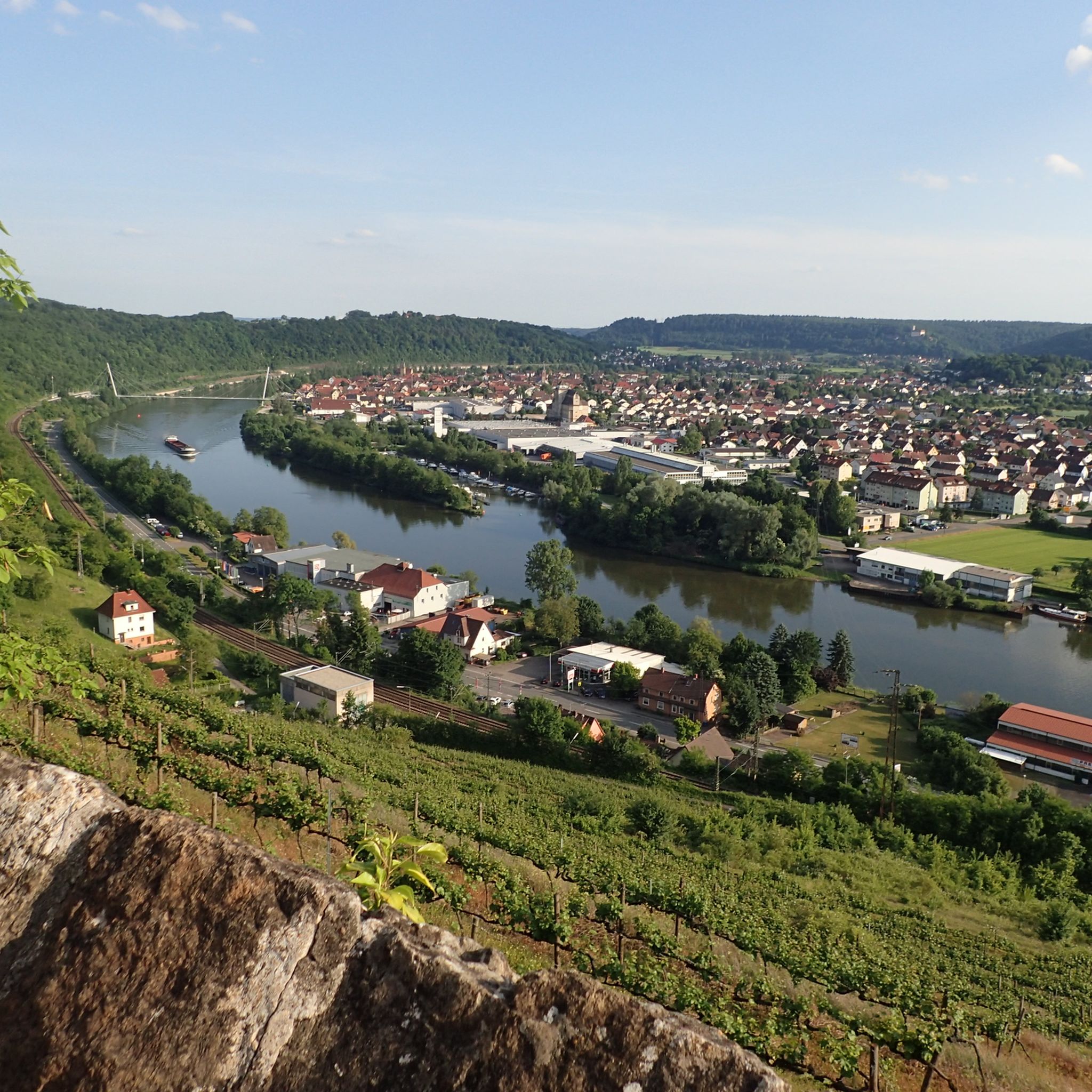
View of Neckarsulm and Heilbronn from the Scheuerberg
Highlight • Viewpoint
Translated by Google •
Tip by

Bismarck Tower Odenwald
Highlight • Monument
Translated by Google •
Tip by

Sign up now to discover places like this
Get recommendations on the best single tracks, peaks, & plenty of other exciting outdoor places.
Sign up for free
Heuchlinger Spitze
Highlight • Summit
Translated by Google •
Tip by

Heuchelberg Summit Cross with Trail Register
Highlight • Summit
Translated by Google •
Tip by
Summit Cross Leingarten
Highlight • Summit
Translated by Google •
Tip by

Sign up for free to discover even more peaks around Bad Rappenau.
Sign up for free
Already have an account?
Start today with a free account
Your next adventure awaits.
Login or Signup
Popular around Bad Rappenau
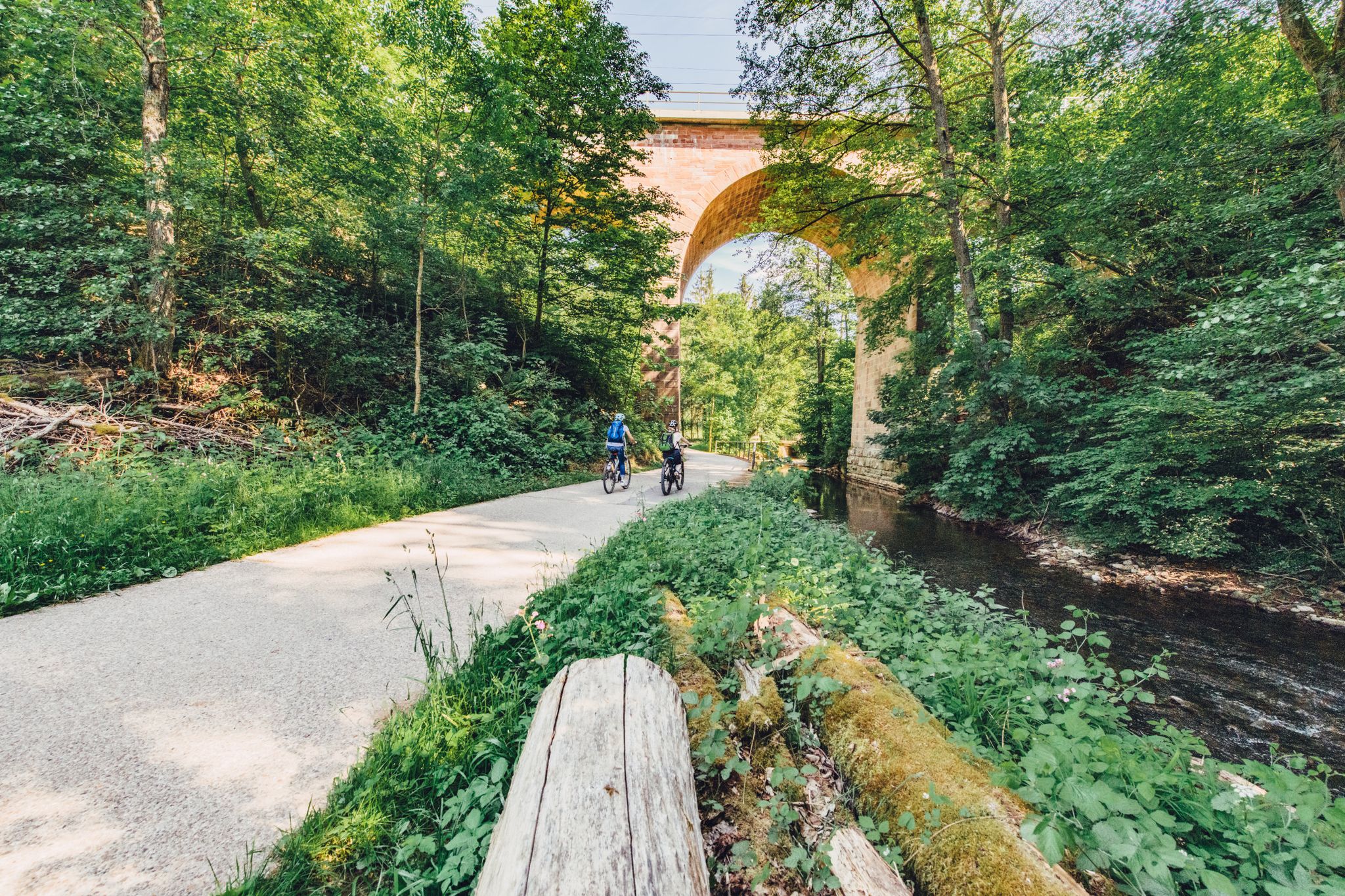
Weekend rides along the Kocher, Jagst and Neckar rivers in Germany
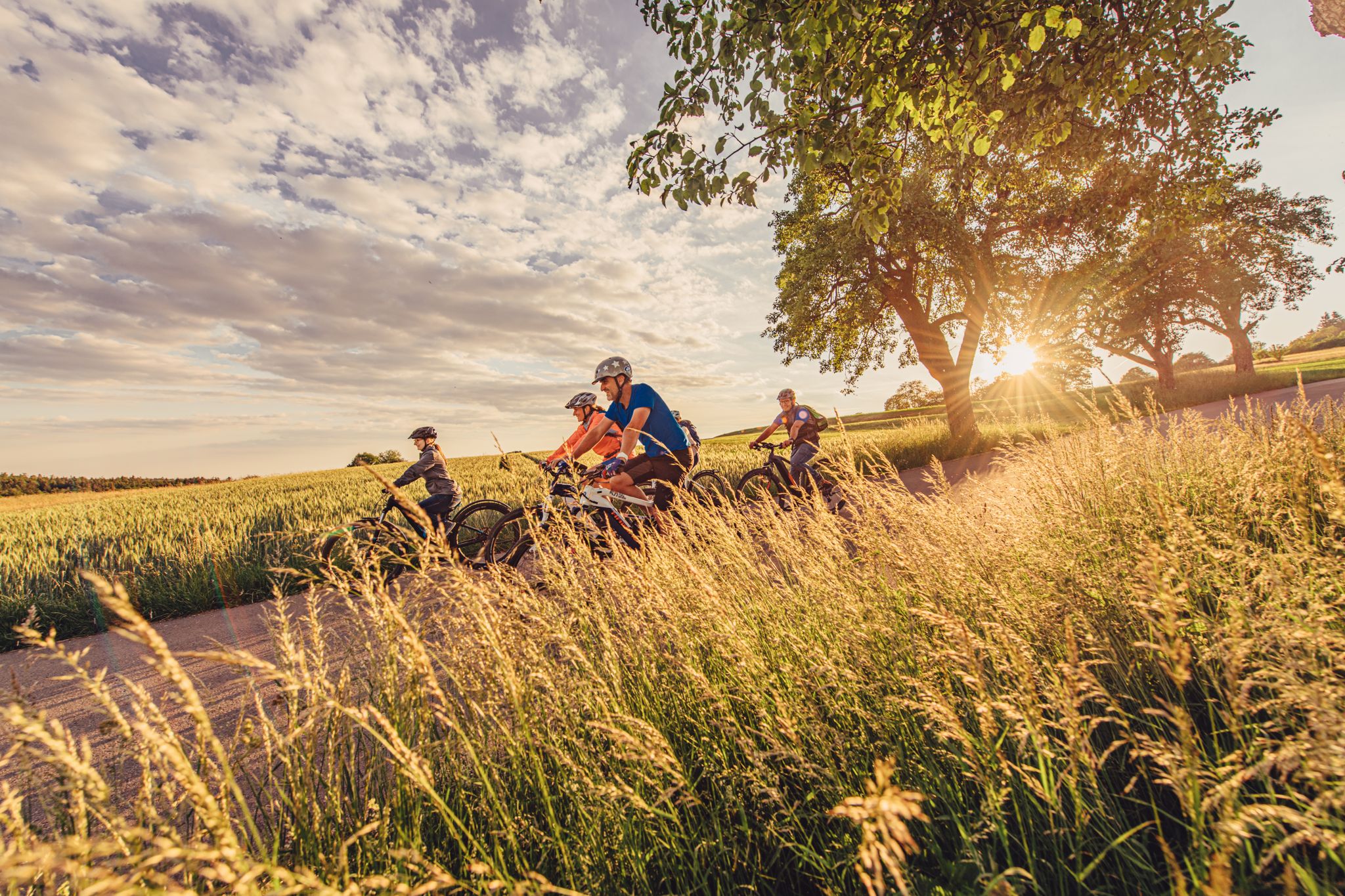
Rivers, forests and mills – the most beautiful rides in the Odenwald in Germany
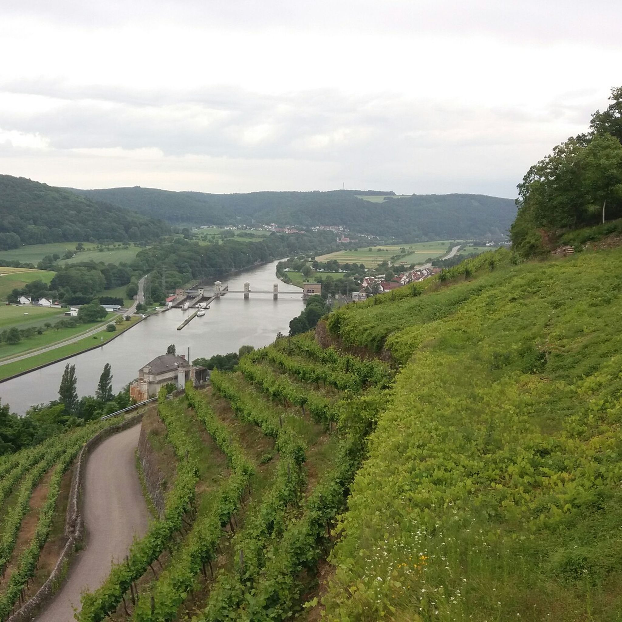
Hiking around Bad Rappenau
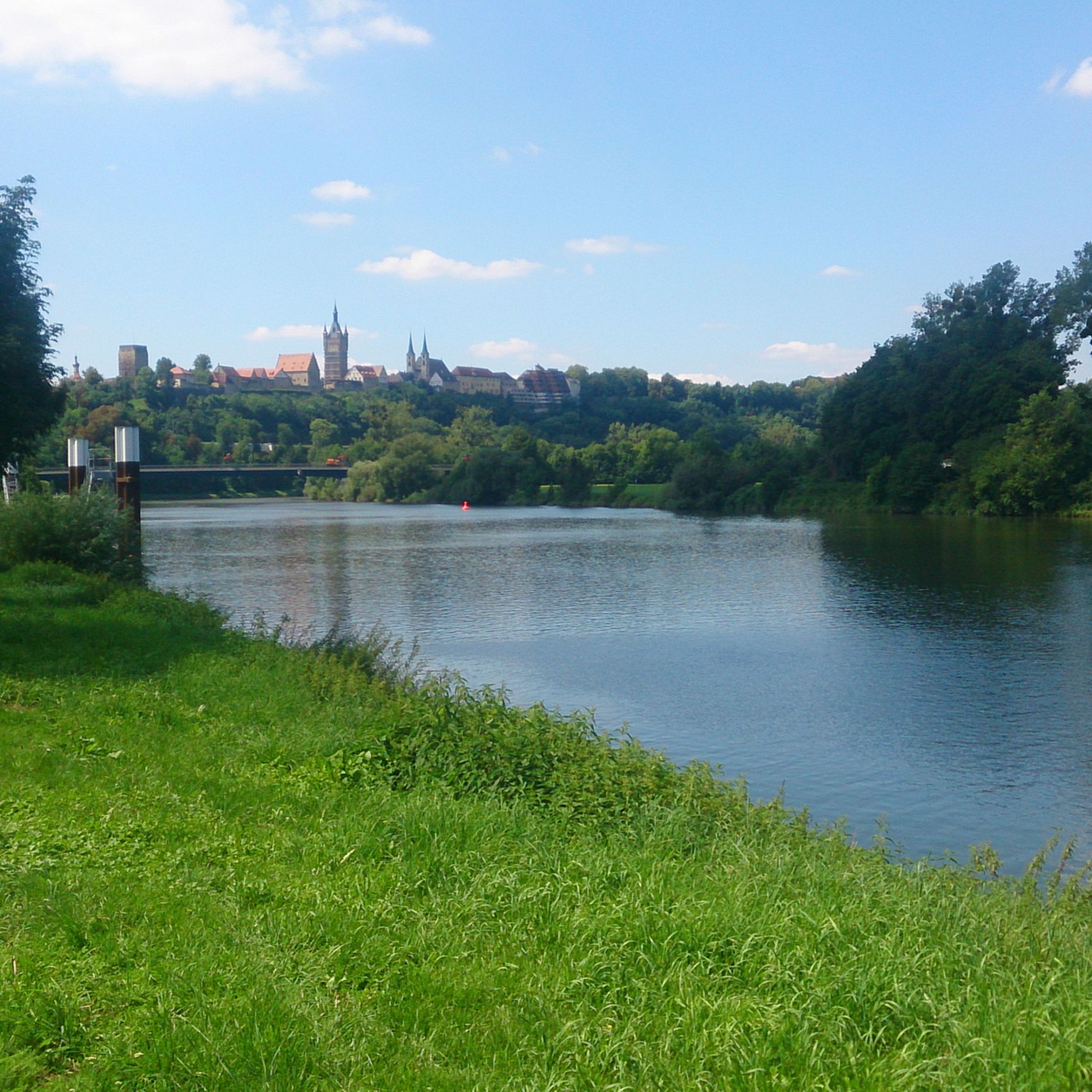
Cycling around Bad Rappenau
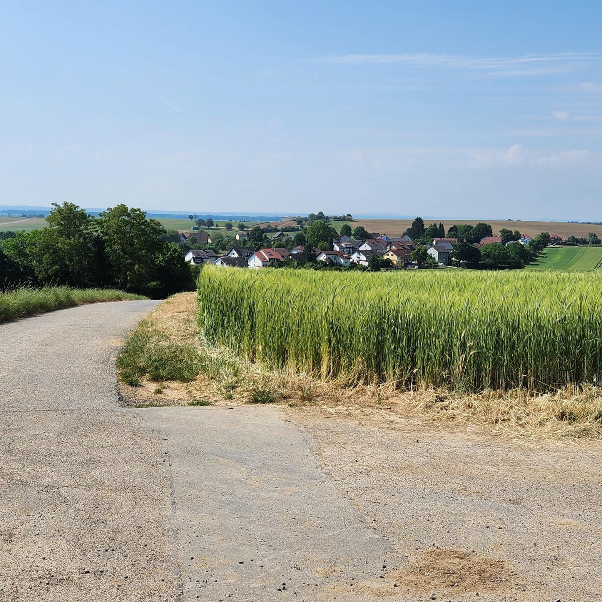
Running Trails around Bad Rappenau
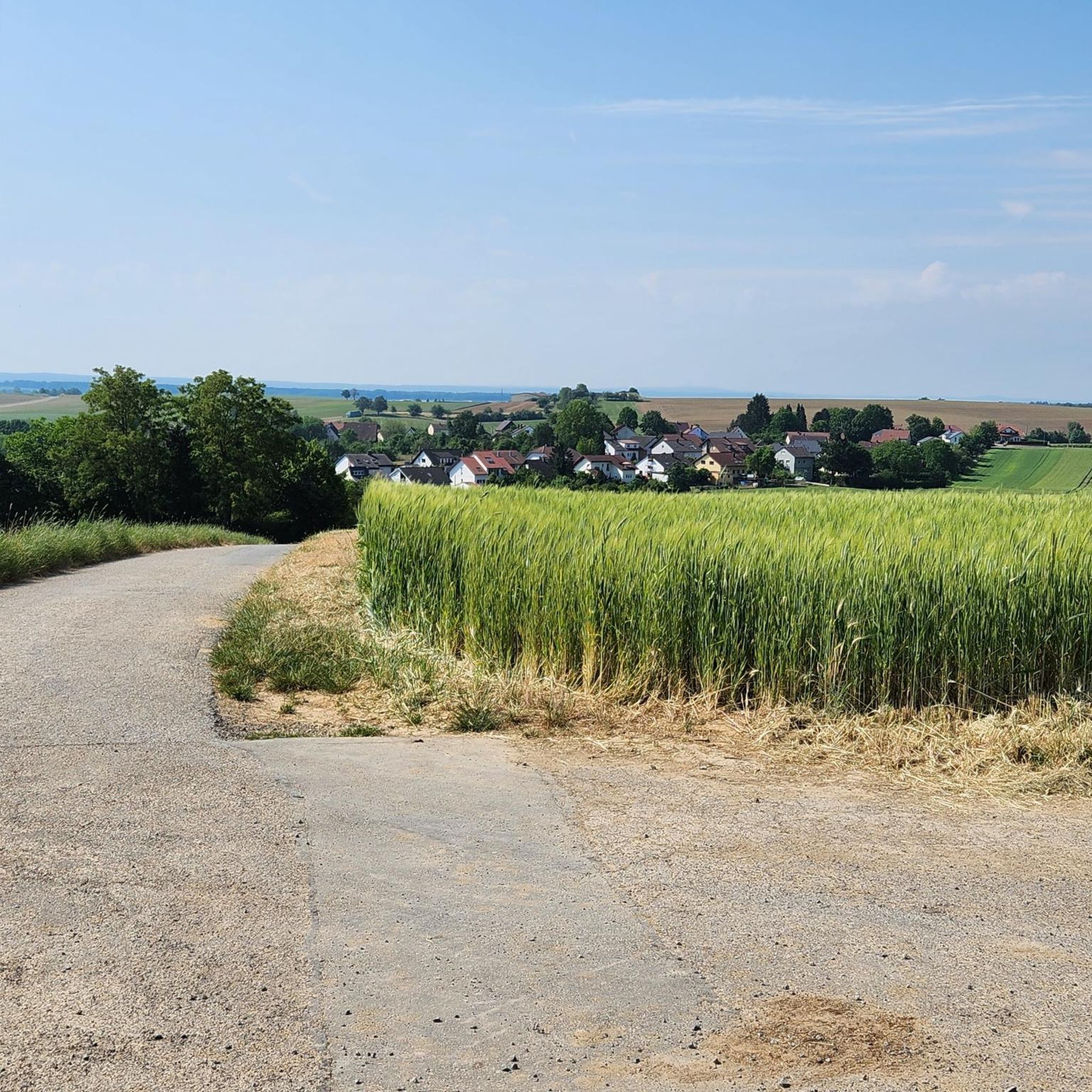
Road Cycling Routes around Bad Rappenau
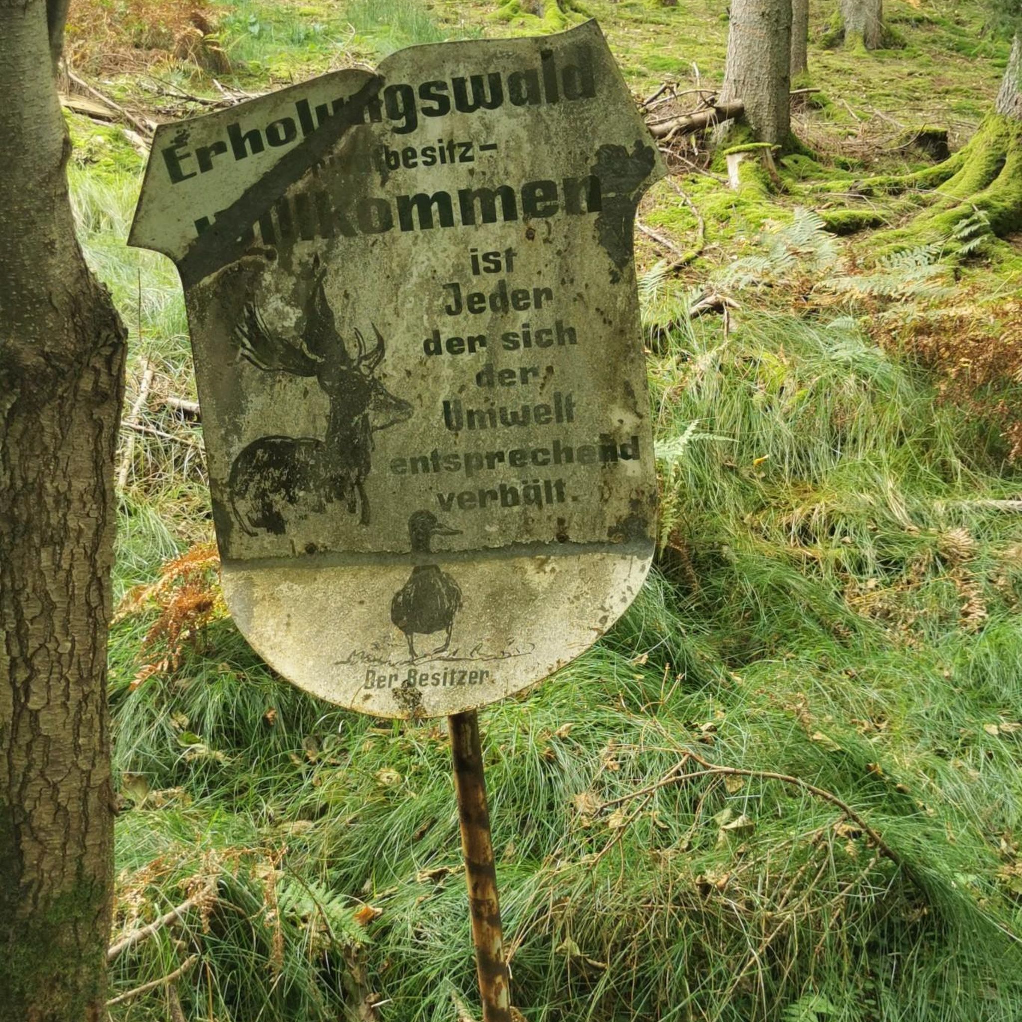
MTB Trails around Bad Rappenau
Gravel biking around Bad Rappenau


Tips from the Community

Trail: Not too long, not too steep—ideal for people who say "hiking" but mean "walking." 😎 Atmosphere: 100% relaxation, 0% Wi-Fi—truly pure nature.
4
0

The Scheuerberg (Schuire - Scheuwer - Scheune or Schûre - Schauer) is 306 m high and 350 m long. It is a so-called witness mountain and stands as the last, western foothill of the Löwenstein Mountains, visible from afar. It consists of Keuper marl and a layer of Letten coal that begins at a depth of 150 m. The actual, obligatory cover layer (of reed sandstone) is missing. It was probably removed to obtain building material for the castle and town. It has two "forehills" north of the Hohberg and south of the Hasenbiegel. It acquired its current form through the vineyard reorganization process (1967–1996), during which the hill was radically redesigned. It is THE local mountain of the people of Neckarsulm and closely linked to the town's history.
9
0
The Scheuerberg near Neckarsulm in the Heilbronn district is an approximately 310-meter-high elevation in the Sulm mountain plain. In the Middle Ages, Scheuerberg Castle stood on the summit of the Scheuerberg, but it was not rebuilt after the Peasants' War around 1525. Today, the Scheuerberg is a popular hiking destination, offering fantastic views of Neckarsulm and the surrounding area. The hiking trails around the Scheuerberg are well signposted and offer varying levels of difficulty, so both beginners and experienced hikers will find something to suit their needs.
15
1
Here at the "summit cross" of the Heuchelberg, which is located directly on the side of the path, passing hikers can sign the hiking book.
12
0

I've been up there many times. But I've never seen a summit book.
10
1

Beautiful tower, unfortunately no access
3
0

Unfortunately closed - although I suspect that you wouldn't really see much more from the top of the tower - the forest is probably too high by now. Possibly as a tower for the glider airfield ;-)
2
0

The tower is located directly at the glider airfield
1
1
Frequently Asked Questions
What are the most prominent elevations or 'peaks' around Bad Rappenau?
While Bad Rappenau is characterized by a high plateau and undulating terrain rather than traditional mountain peaks, the region features several prominent elevations. The highest point in the immediate area reaches approximately 326 meters. Notable spots include the Summit Cross Leingarten, which marks the highest point of Leingarten at 327 meters, and the View of Neckarsulm and Heilbronn from the Scheuerberg, offering views from 310 meters above sea level.
What kind of outdoor activities can I enjoy near these elevations?
The hilly and undulating terrain around Bad Rappenau is ideal for various outdoor activities. You can enjoy leisurely hikes, bike rides, and explore scenic countryside, forests, and rivers. For more structured routes, consider exploring the many options for hiking, road cycling, or mountain biking in the region.
Are there family-friendly spots among the elevations near Bad Rappenau?
Yes, several locations are suitable for families. The View of Neckarsulm and Heilbronn from the Scheuerberg is considered family-friendly and offers historical context. The general landscape with its gentle hills and trails is conducive to family outings and leisurely walks.
What historical sites can be found on or near these prominent elevations?
The Scheuerberg, for instance, was once home to Scheuerberg Castle. A massive stone wall from the former complex was uncovered in 1974, providing evidence of its historical significance. The region as a whole has a rich history, with various historical sites scattered throughout the landscape.
Are there specific trails or paths to reach these elevations?
Many of the prominent elevations are accessible via well-maintained trails. For example, Heuchlinger Spitze is a summit with a trail suitable for walking, offering a relaxing atmosphere. The Heuchelberg Summit Cross with Trail Register is located directly on the side of a path, inviting hikers to sign the hiking book.
What natural features can I expect to see when exploring the Bad Rappenau region?
The region around Bad Rappenau is known for its natural beauty, featuring rivers, forests, and mills. You'll encounter scenic countryside and diverse flora, making it an appealing destination for those who appreciate natural landscapes.
Can I find challenging hiking or cycling routes in this area?
While the terrain is generally undulating, there are options for more challenging activities. For mountain biking, the Fünfmühlental Trail is noted as a difficult route. For hiking, you can find moderate trails like the 'Guttenberg Castle – Sommersmühle loop' within the hiking guide.
What do visitors particularly enjoy about the elevations and trails near Bad Rappenau?
Visitors appreciate the fantastic views, such as those from the Scheuerberg, and the relaxing atmosphere found on trails like the one leading to Heuchlinger Spitze. The opportunity to sign a hiking book at spots like the Heuchelberg Summit Cross also adds a unique touch to the experience.
Is the Sackberg a significant elevation to visit?
The Sackberg is a hill with an altitude of 207 meters, located near the towns of Waibstadt and Epfenbach. While not one of the highest points, it contributes to the diverse hilly landscape of the region and offers another spot for exploration.
Are there any specific viewpoints that offer panoramic scenery?
Yes, the View of Neckarsulm and Heilbronn from the Scheuerberg is a highly recommended viewpoint, offering a fantastic panorama of Neckarsulm and the surrounding area. The Heuchelberg Summit Cross also serves as a viewpoint.
What is the best time of year to explore the elevations around Bad Rappenau?
The region's undulating terrain and forested areas are enjoyable throughout much of the year. Spring and autumn offer pleasant temperatures and beautiful foliage, while summer is great for longer days outdoors. Even in winter, the landscape can be appealing for walks, though some trails might be less accessible depending on conditions.
Can I find information on public transport options to reach hiking areas near Bad Rappenau?
While specific public transport details for individual trailheads are not provided here, Bad Rappenau itself is connected by public transport. For detailed planning, it's advisable to check local transport schedules to see how they align with your chosen hiking or cycling starting points.
Most popular routes around Bad Rappenau
Most popular attractions around Bad Rappenau

Get inspired with the komoot mobile app


Explore more
See even more amazing summits around Bad Rappenau with these guides:
