The best road cycling routes around Eberstein
4.6
(30)
1,304
riders
52
rides
Road cycling routes around Eberstein traverse a landscape characterized by rolling hills and valleys, often featuring historic landmarks and natural water bodies. The region includes areas around Völkermarkt, known for its main square and reservoir, and the Längsee. Elevation gains are common, indicating varied terrain suitable for different levels of road cycling.
Best road cycling routes around Eberstein
- The most popular road cycling route is Völkermarkt Main Square – Völkermarkt Reservoir Bridge loop from Diex, a 39.6 miles (63.7…
Last updated: July 5, 2026
5.0
(4)
57
riders
63.7km
03:25
1,220m
1,220m
Hard road ride. Very good fitness required. Mostly well-paved surfaces and easy to ride.
52
riders
48.1km
02:07
400m
400m
Moderate road ride. Good fitness required. Mostly well-paved surfaces and easy to ride.

Sign up for free
5.0
(1)
10
riders
32.7km
02:09
930m
930m
Hard road ride. Very good fitness required. Mostly well-paved surfaces and easy to ride.
11
riders
54.0km
02:51
950m
950m
Hard road ride. Very good fitness required. Mostly well-paved surfaces and easy to ride.
8
riders
138km
06:52
2,070m
2,070m
Hard road ride. Very good fitness required. Mostly well-paved surfaces and easy to ride.
Get access to more routes and recommendations from other explorers.
Sign up for free
Already have an account?
Our route recommendations are based on thousands of hikes, rides, and runs completed by other people on komoot.
Start today with a free account
Your next adventure awaits.
Login or Signup
Popular around Eberstein
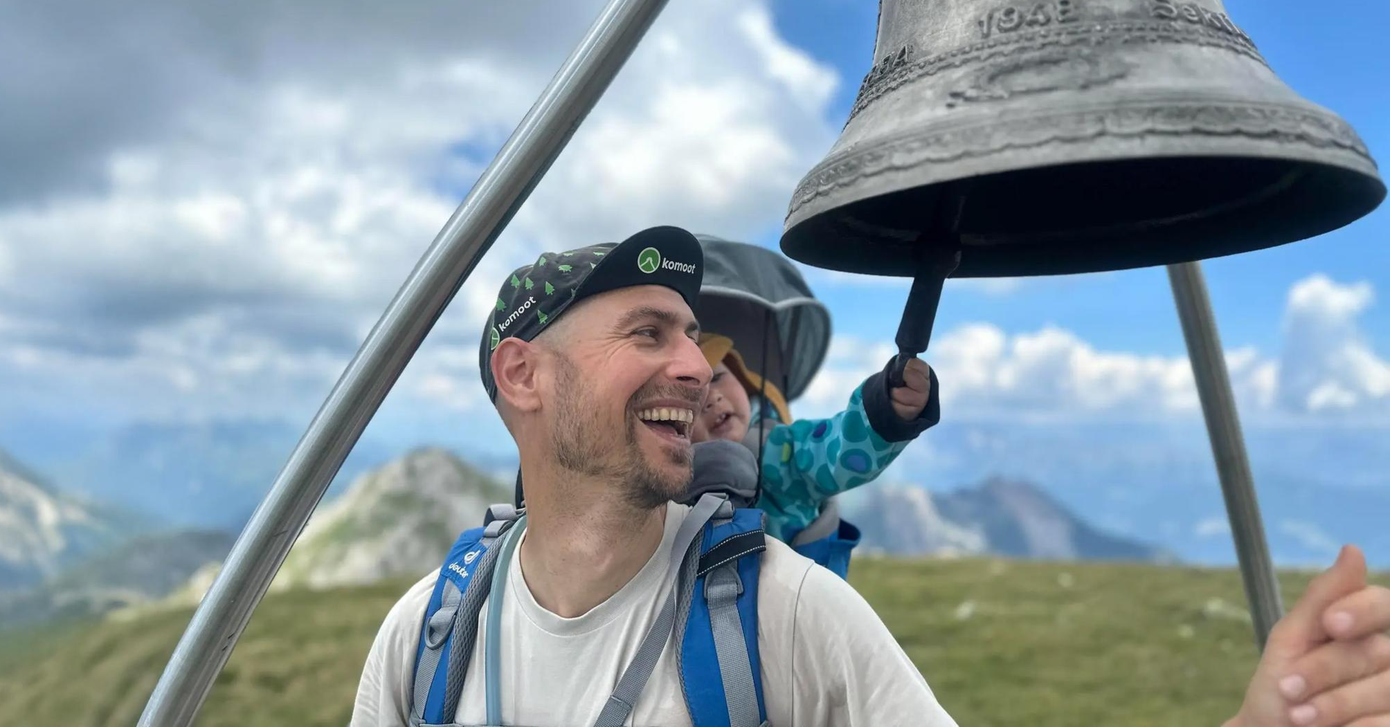
Summit hikes for families – discovery routes with a view in Carinthia
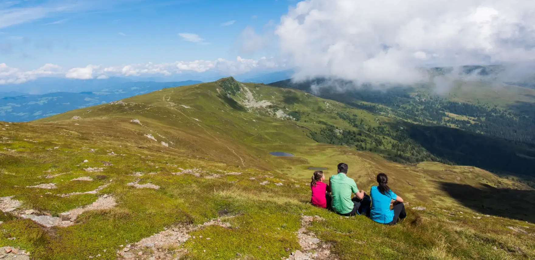
Even more spectacular from above – hikes with a view in Central Carinthia
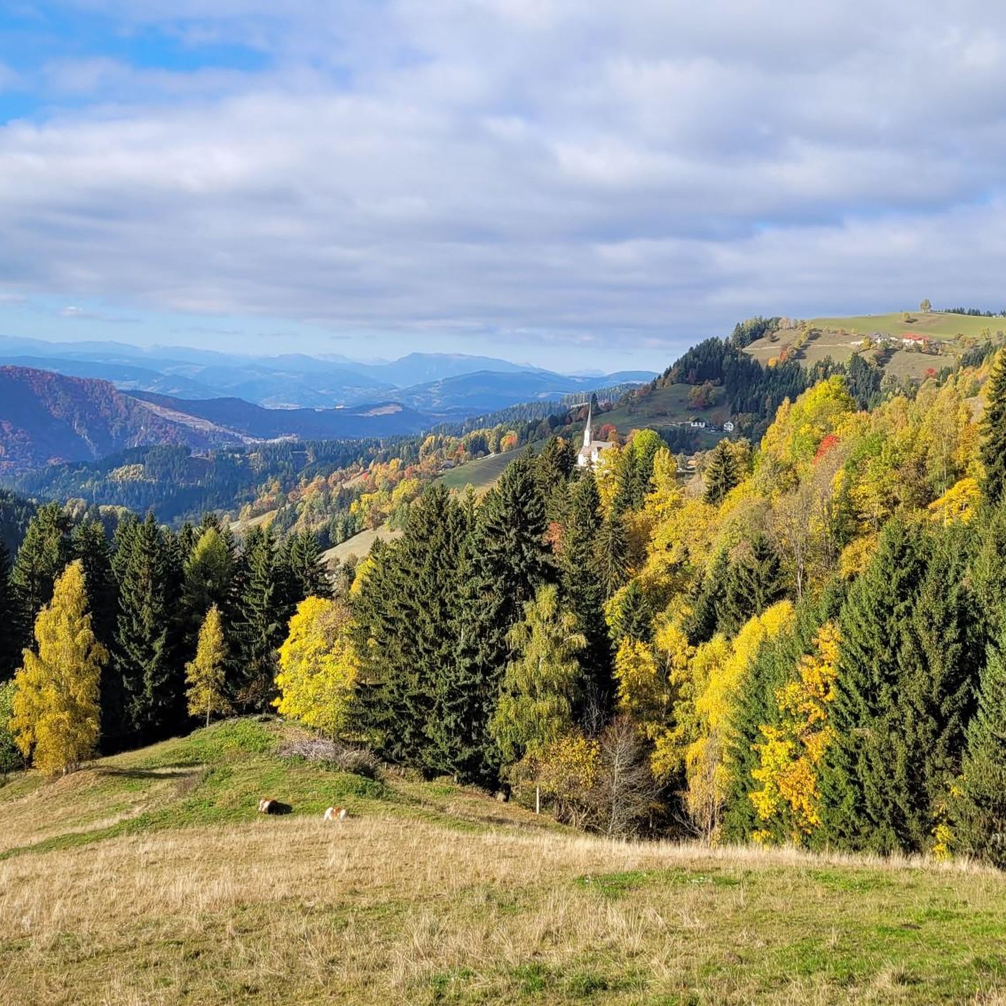
Hiking around Eberstein
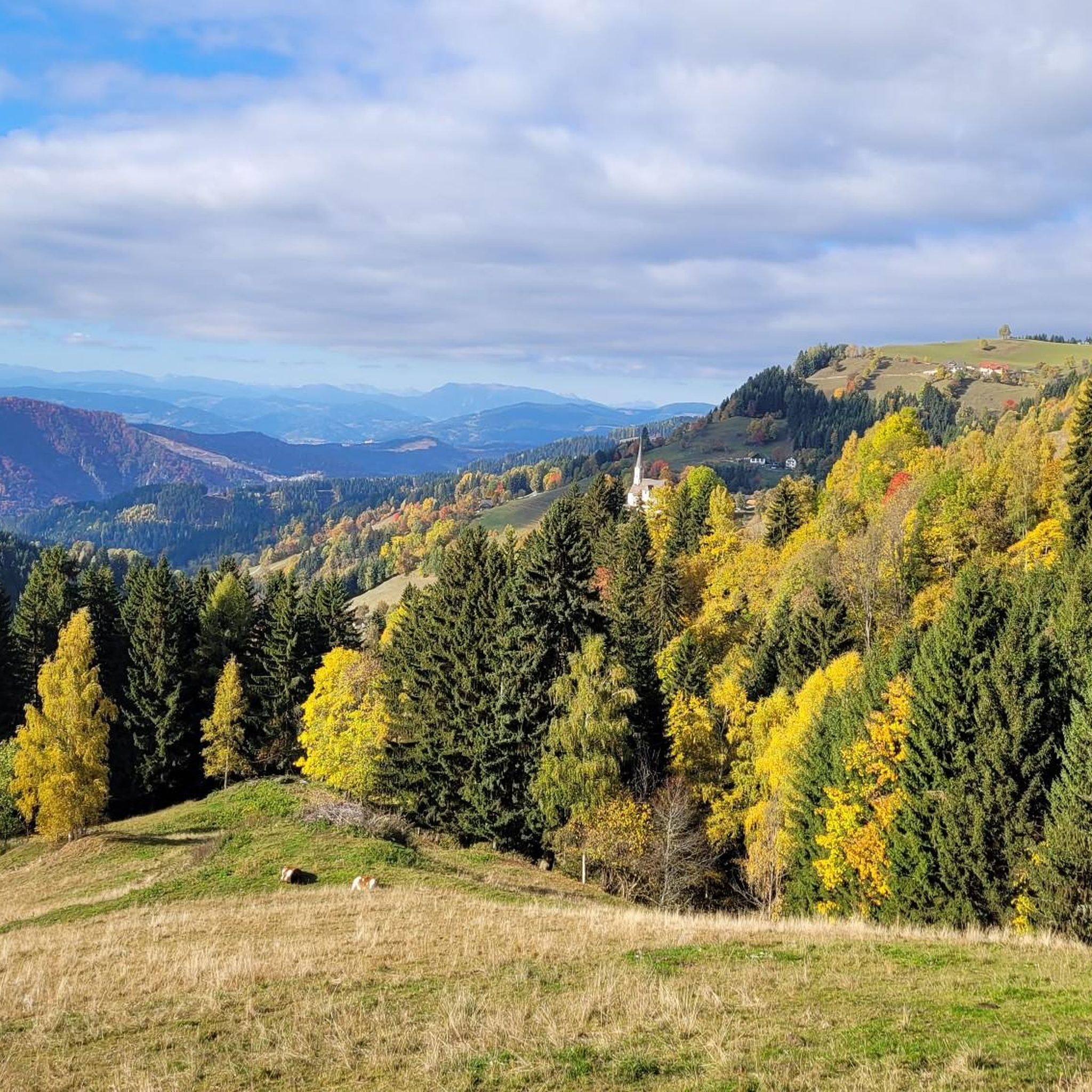
MTB Trails around Eberstein
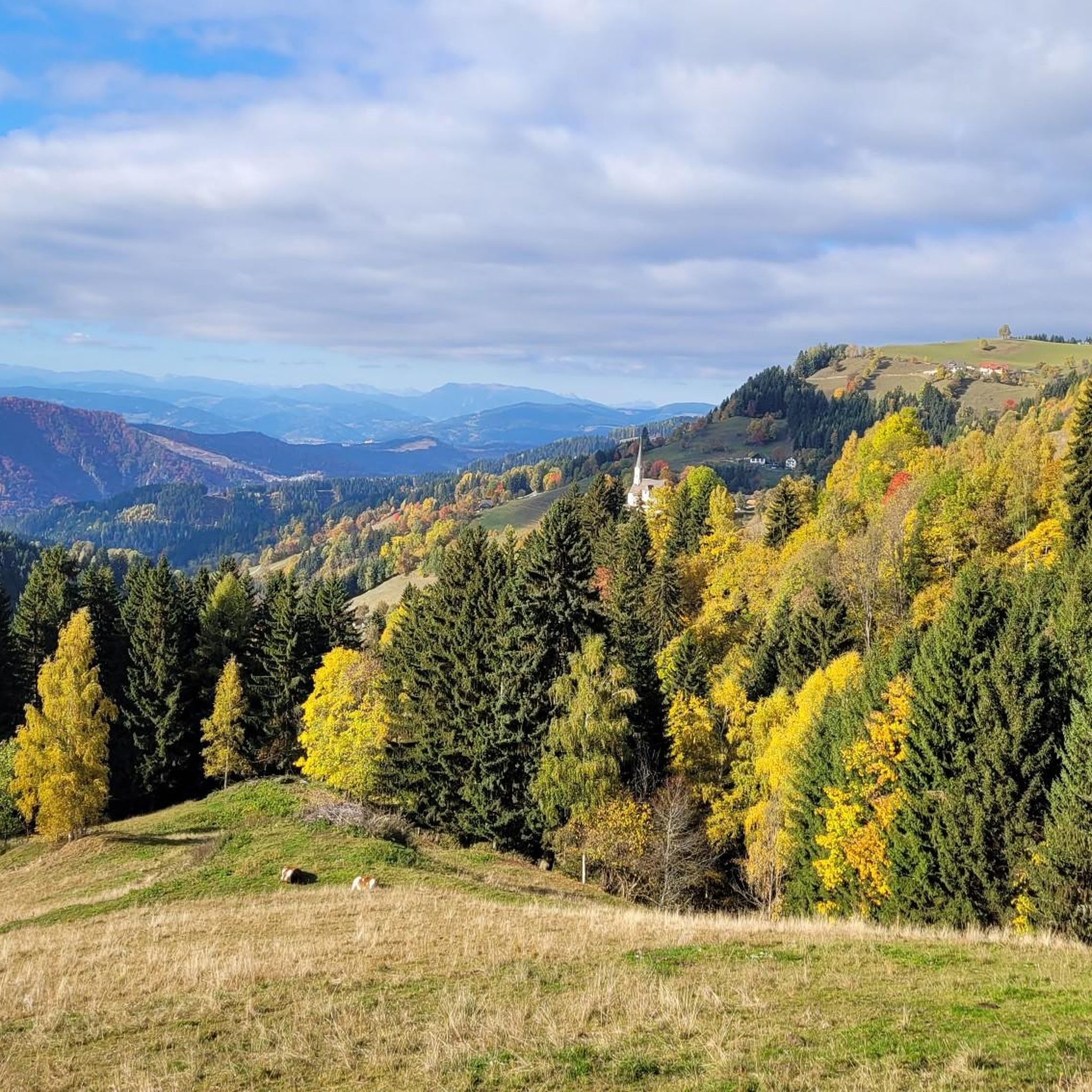
Cycling around Eberstein
Gravel biking around Eberstein
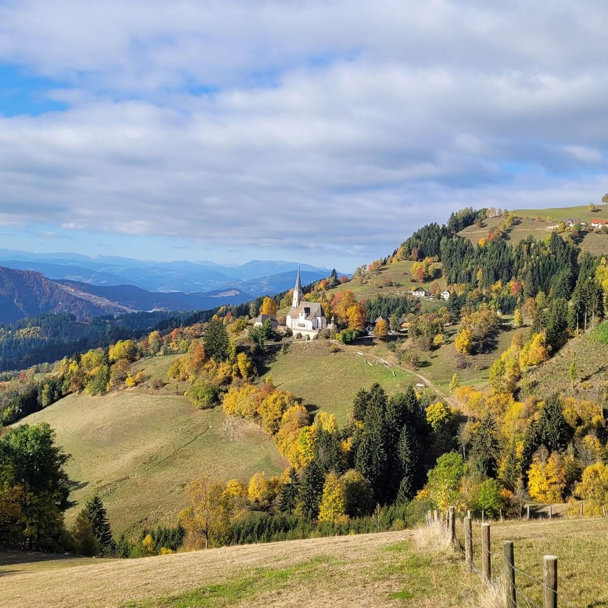
Running Trails around Eberstein
Mountain Hikes around Eberstein


Tips from the Community

Striking hotel somewhat in the style of Hundertwasser.
2
0

Dreamlike section along the Klopeiner See with a view of the Karawanken!
0
0

It is best to check the opening hours beforehand: https://www.georgium.at/
0
0

Starting point for the Geierkogel. However, the Klippitztörl is not 1,842 m but only 1,642 m high.
0
0

Surroundings of Stift Griffen. On the ranch you can observe happy horses.
2
0


Really beautiful here, especially in autumn.
0
0

At the fountain at the top of the pass, you can rinse the sweat from your face and fill your bottles.
0
0
Frequently Asked Questions
How many road cycling routes are available around Eberstein?
There are over 50 road cycling routes around Eberstein, offering a diverse range of experiences for cyclists of all levels. These routes traverse a landscape characterized by rolling hills, historic landmarks, and natural water bodies.
What is the best time of year for road cycling in Eberstein?
The most pleasant time for road cycling in Eberstein is typically from spring through autumn. During these seasons, the weather is generally mild, and the scenic landscapes, including lakes and castles, are at their most inviting. Winter cycling might be challenging due to the region's elevation gains and potential for colder conditions.
Are there challenging road cycling routes in Eberstein for experienced riders?
Yes, Eberstein offers a good selection of challenging routes. Approximately 16 of the routes are classified as difficult. For instance, the Völkermarkt Main Square – Völkermarkt Reservoir Bridge loop from Diex is a demanding 39.6-mile (63.7 km) trail with significant elevation gain, connecting urban areas with natural water features.
Are there any easier road cycling routes suitable for beginners in Eberstein?
While many routes feature rolling hills, there are options suitable for beginners. Around 8 routes are classified as easy. These routes often provide a gentler introduction to the region's beautiful scenery without overly strenuous climbs.
What kind of scenic views can I expect on road cycling routes around Eberstein?
Road cycling routes in Eberstein offer diverse scenic views, including historic castles, tranquil lakes, and rolling hills. You can enjoy sights like the Magdalensberg Summit or the Zingerle Cross, which provide panoramic vistas of the surrounding landscape.
Are there any long-distance road cycling routes in the Eberstein area?
Yes, for those seeking longer rides, Eberstein has several extended routes. The View of Hochosterwitz Castle – Hochosterwitz Castle loop from Eberstein is a substantial 86.9-mile (139.9 km) difficult route, offering a comprehensive tour of the region's highlights and requiring significant endurance.
Can I find loop road cycling routes around Eberstein?
Many of the road cycling routes in Eberstein are designed as loops, allowing you to start and finish at the same point. Examples include the Längsee – Hochosterwitz Castle loop from Brückl, a moderate 29.9-mile (48.2 km) path, and the Diex Fortified Church – Diex Parish Church loop from Diex, which is 20.3 miles (32.7 km) long.
What do other road cyclists enjoy most about road cycling in Eberstein?
The komoot community highly rates road cycling in Eberstein, with an average score of 4.7 stars from over 20 reviews. Cyclists often praise the varied terrain, the combination of historic landmarks like castles and churches, and the beautiful natural scenery, including lakes and rolling hills.
Are there any historic landmarks or points of interest along the road cycling routes?
Absolutely. The region is rich in history. Routes often pass by significant landmarks such as the Diex Fortified Church and the Diex Parish Church, as seen on the Diex Fortified Church – Diex Parish Church loop from Diex. You can also find highlights like the Wolfsberger Hut or the Gertrusk Summit.
Are there routes that combine natural beauty with cultural sights?
Many routes in Eberstein offer a blend of natural beauty and cultural sights. For example, the Längsee – Hochosterwitz Castle loop from Brückl provides views of the Längsee lake and the impressive Hochosterwitz Castle, offering a rich experience for cyclists.
What kind of terrain can I expect on road cycling routes in Eberstein?
The terrain around Eberstein is characterized by rolling hills and valleys, with common elevation gains. This means you can expect a mix of climbs and descents, providing varied and engaging rides. The routes often connect urban areas with natural water features and historic sites.
Most popular attractions around Eberstein

Get inspired with the komoot mobile app


Explore more
Browse the best Road cycling routes in other regions.
