The best walks and hikes around Ebersbach-Musbach
4.5
(4876)
21,896
hikers
16
hikes
Hiking around Ebersbach-Musbach offers diverse natural landscapes, characterized by the Federsee Nature Reserve, the Altdorfer Forest, and panoramic viewpoints. The region features extensive moorland areas, reed belts, and dense woodlands, providing varied terrain for outdoor activities. Trails often traverse meadows and fields, with some routes offering views of the Alps and the Allgäu region. The area includes accessible paths suitable for different fitness levels, from gentle gradients to moderate elevation changes.
Best hiking trails around Ebersbach-Musbach
- The most popular hiking…
Last updated: May 23, 2026
4.0
(2)
15
hikers
3.63km
00:57
20m
20m
Easy hike. Great for any fitness level. Easily-accessible paths. Suitable for all skill levels.
5.0
(1)
13
hikers
3.42km
00:56
50m
50m
Easy hike. Great for any fitness level. Easily-accessible paths. Suitable for all skill levels.

Sign up for free
5.0
(1)
19
hikers
9.43km
02:33
130m
130m
Moderate hike. Good fitness required. Easily-accessible paths. Suitable for all skill levels.
5.0
(2)
12
hikers
3.32km
00:52
30m
30m
Easy hike. Great for any fitness level. Easily-accessible paths. Suitable for all skill levels.
6
hikers
5.66km
01:32
80m
80m
Easy hike. Great for any fitness level. Easily-accessible paths. Suitable for all skill levels.
Get access to more routes and recommendations from other explorers.
Sign up for free
Already have an account?
Our route recommendations are based on thousands of hikes, rides, and runs completed by other people on komoot.
Start today with a free account
Your next adventure awaits.
Login or Signup
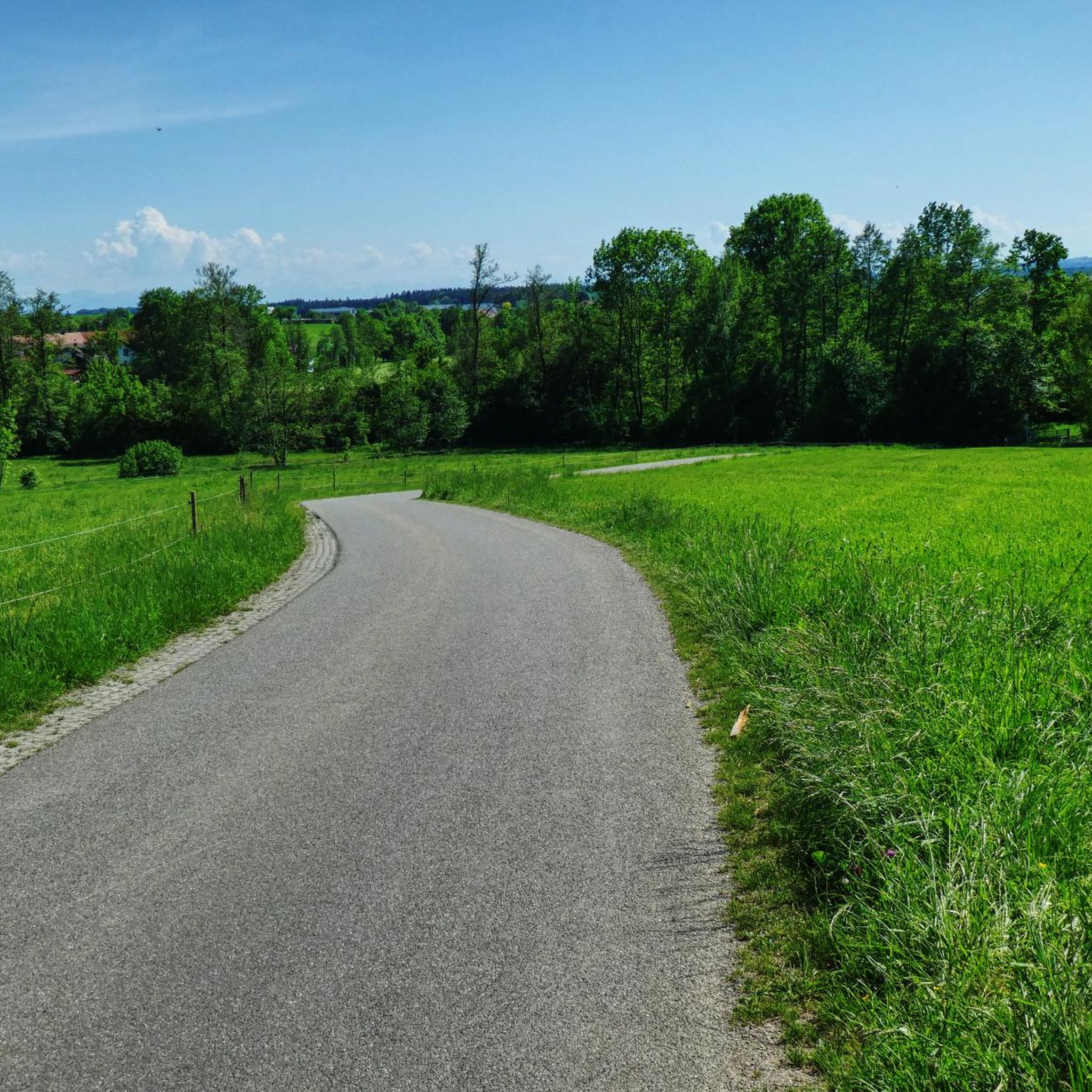
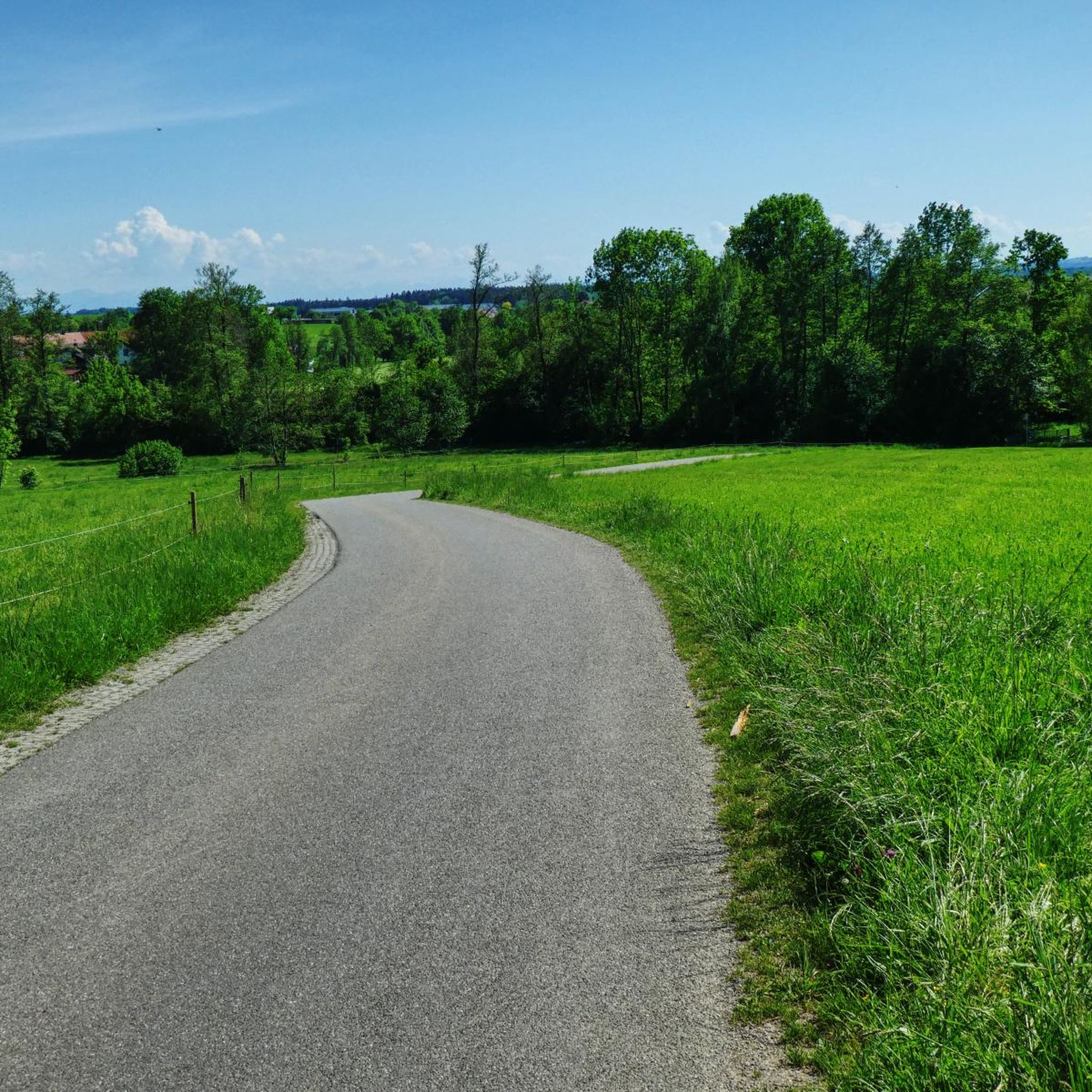
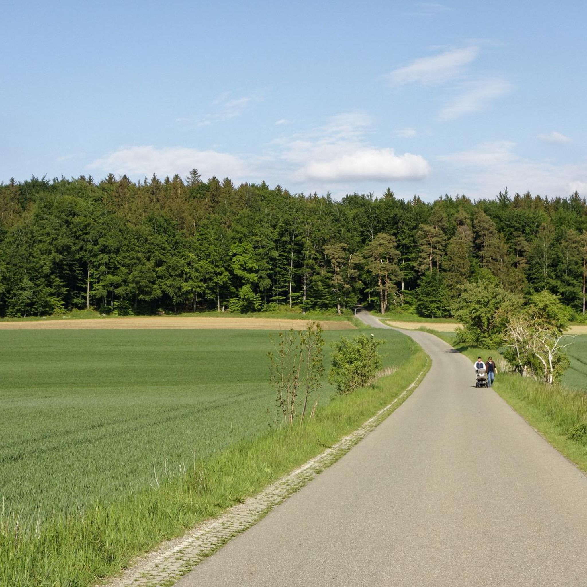
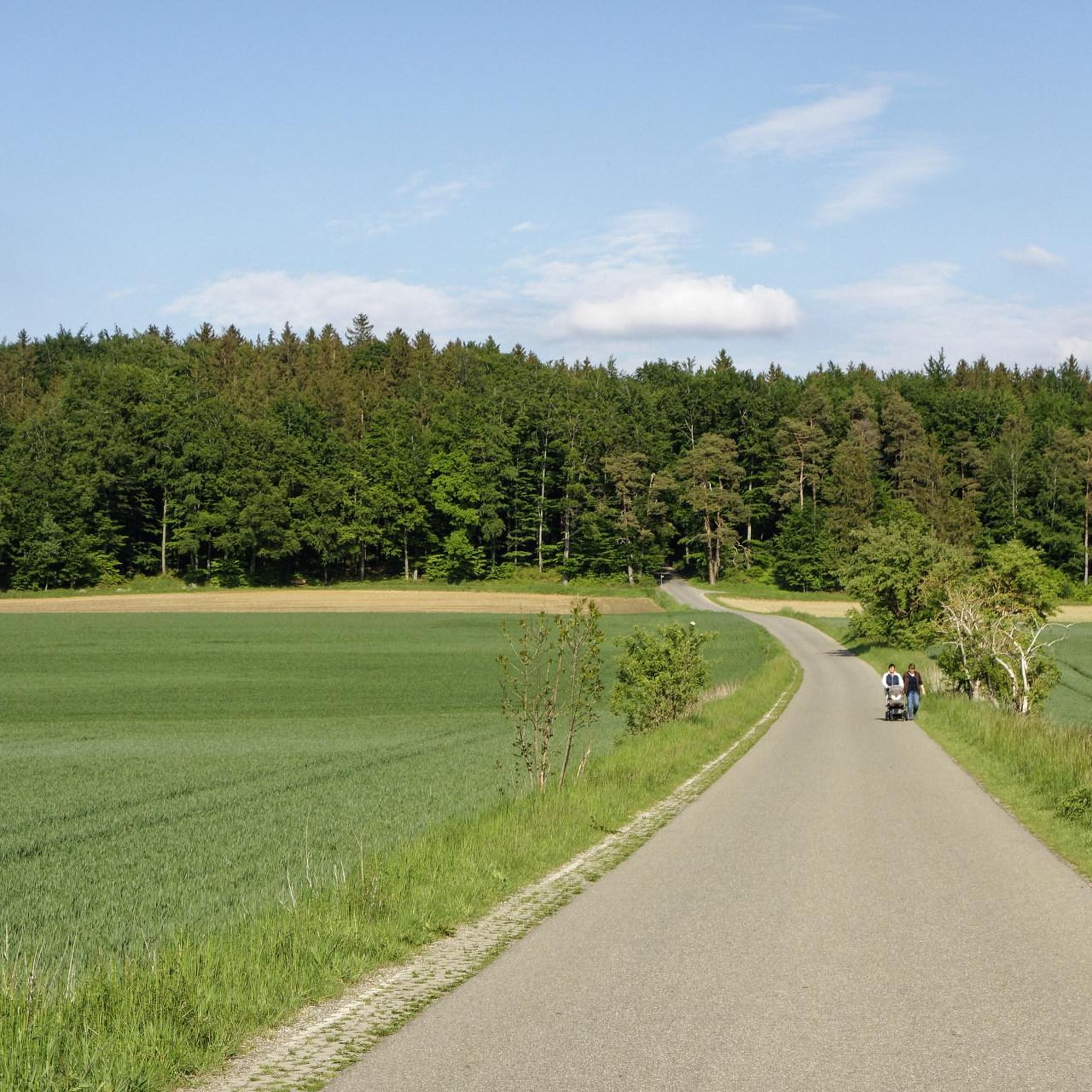

Tips from the Community

If you pass by during the hike
0
0

Lake Roggensee is believed to be a dead ice hole (created by glacial melting during the last ice age) and was completely dry around 2020. It has since recovered somewhat, albeit with a much lower water level than before 2015. https://www.pressreader.com/germany/schwaebische-zeitung-biberach/20210320/281921660813361?srsltid=AfmBOoqwqCIFS9D_lrbsvKOCpPqORW1o6QbtiNP3YQFSxi1mIwtMP-KW
0
0

There are 2 benches to take a rest and enjoy the peace
0
0
There are 2 benches to take a rest and enjoy the peace and quiet.
0
0


The Roggensee is a dead ice hole from the Ice Age A dead ice hole is a glacial hollow shape. If a glacier thaws quickly, it can leave behind large masses of dead ice that gradually disintegrate. The glacier's meltwater streams deposit sediment around the dead ice blocks. After the final melting, hollow shapes remain in place of the ice blocks.
2
0
Frequently Asked Questions
How many hiking trails are there in Ebersbach-Musbach?
Ebersbach-Musbach offers a selection of 16 hiking routes, catering to various preferences. You'll find 9 easy trails and 7 moderate options, ensuring there's something for every hiker.
What kind of landscapes can I expect to see while hiking in Ebersbach-Musbach?
The region is characterized by diverse and picturesque landscapes. You'll hike through dense sections of the Altdorfer Forest, explore accessible moorlands, and enjoy panoramic views that sometimes even stretch to the distant Alps and the Allgäu region. Trails often traverse open meadows and fields, offering a varied experience.
Are there any easy or beginner-friendly hikes in the area?
Yes, Ebersbach-Musbach has several easy trails perfect for beginners or those looking for a relaxed stroll. An excellent option is the 3.5-mile (5.7 km) Galloway cattle paddock of Buch loop from Ebersbach, which offers pleasant views of open landscapes and grazing cattle. Another gentle choice is the Kreuzbrünnele – Kreuzbrünnele loop from Otterswang, a 2.1-mile (3.3 km) path that takes about 52 minutes to complete.
What are some notable natural attractions or landmarks to see on a hike?
You can discover several interesting natural and cultural highlights. The Federseesteg Boardwalk Through Federsee Moor is a significant natural area with a 1.5 km boardwalk leading through moor and reed belts to a viewing platform, perfect for birdwatching. You might also encounter the Häckler Pond, which offers free swimming access in warmer months, or the historic Pilgrimage Church of Steinhausen.
Are there any circular walks available?
Many of the trails in Ebersbach-Musbach are designed as circular routes, allowing you to start and end at the same point. A popular moderate circular option is the Roggensee – Abandoned Campus by the Forest loop from Bierstetten, which covers 5.9 miles (9.4 km) and explores forest areas around the Roggensee.
What is the best time of year to go hiking in Ebersbach-Musbach?
The spring and autumn seasons are particularly recommended for hiking in Ebersbach-Musbach. During spring, nature is in full bloom, while autumn offers vibrant displays of color, making for a beautiful backdrop to your outdoor adventures.
Are the hiking trails in Ebersbach-Musbach suitable for families?
Yes, many trails are suitable for families. The region offers accessible paths with gentle gradients, and attractions like the Federsee boardwalk are even accessible for wheelchairs and strollers, making it easy for families with young children to enjoy nature. Easy loops like the Holzmühleweiher loop from Ebersbach are great for shorter family outings.
What do other hikers enjoy most about Ebersbach-Musbach?
The hiking routes in Ebersbach-Musbach are highly rated by the komoot community, with an average score of 4.5 stars from nearly 5,000 reviews. Hikers often praise the diverse natural landscapes, the well-maintained trails, and the peaceful atmosphere of the forests and moorlands.
Are there any shorter hiking options for a quick outing?
Absolutely. If you're looking for a shorter walk, the Kreuzbrünnele – Kreuzbrünnele loop from Otterswang is an easy 2.1-mile (3.3 km) trail that can be completed in about 52 minutes. Another good choice is the Hiking loop from Bierstetten, which is 3.4 km long and also considered easy.
Are there any trails that offer panoramic views?
Yes, several routes in the Ebersbach-Musbach region provide excellent panoramic views. Some trails offer glimpses of the distant Alps and the Allgäu region. The Natur- und Panoramastation Atzenberg is a popular spot specifically designed for enjoying and understanding the landscape, featuring a special diopter to identify distant features.
Most popular routes around Ebersbach-Musbach
Most popular attractions around Ebersbach-Musbach

Get inspired with the komoot mobile app


Explore more
Browse the best Hikes in other regions.
