The best road cycling routes around Utica
5.0
(3)
115
riders
7
rides
Road cycling routes around Utica offer diverse terrain within the Mohawk Valley, characterized by rolling hills and varied landscapes. The region features accessible, mostly flat sections along the historic Erie Canalway Trail, providing scenic views of the canal. Urban cycling experiences are available through an integrated park system, including the Olmsted Trail. This combination of canal paths, urban routes, and valley scenery provides a range of options for road cyclists.
Best road cycling routes in Utica
- The most popular road…
Last updated: October 2, 2026
17
riders
Moderate road ride. Good fitness required. Mostly well-paved surfaces and easy to ride.
5.0
(1)
16
riders
Easy road ride. Great for any fitness level. Mostly well-paved surfaces and easy to ride.

5.0
(1)
15
riders
20.0km
00:45
20m
20m
Easy road ride. Great for any fitness level. Mostly well-paved surfaces and easy to ride.
6
riders
Moderate road ride. Good fitness required. Some segments of this route may be unpaved and difficult to ride.
5.0
(1)
17
riders
17.8km
00:43
30m
30m
Easy road ride. Great for any fitness level. Mostly well-paved surfaces and easy to ride.
Get access to more routes and recommendations from other explorers.
Already have an account?
Our route recommendations are based on thousands of hikes, rides, and runs completed by other people on komoot.
Start today with a free account
Your next adventure awaits.


Tips from the Community

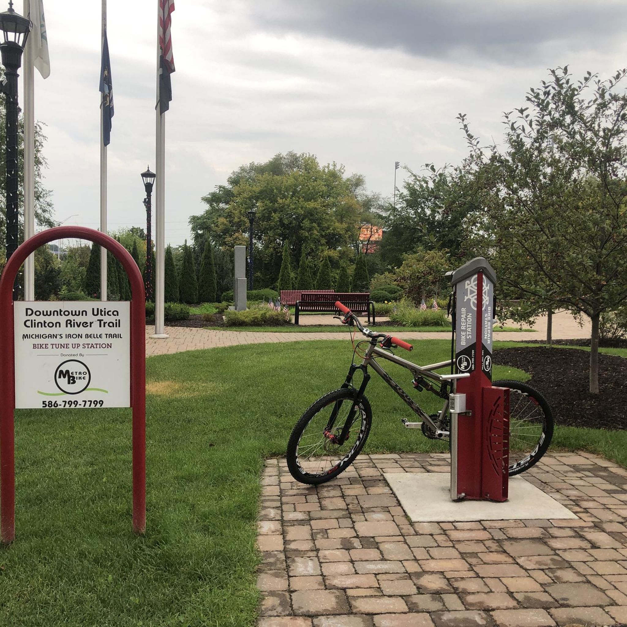
Clinton River Park follows along the banks of its namesake river and connects with Dodge Park, Donovan Park, and Farmstead Park. All together this park system has everything you need for a day in the outdoors. You'll find hiking and mountain biking trails, picnic pavillions, river access, and more.
0
0
This is the main walking path through the park and you'll have great views of the river along the way. Keep your eyes open and there's a good chance to spot some wildlife that still calls the park home.
1
0
This bridge spans the Clinton River and joins Dodge Park to Clinton River Park. Dodge Park has a playground, picnic area, and splash pad. While Clinton River park has hiking and biking trails through the woods.
1
0

Lake St. Clair, also known as Lake St. Clair, is a freshwater lake located between the Canadian province of Ontario and the U.S. state of Michigan, north of Detroit. It is sometimes referred to as "the sixth Great Lake," although it is not considered part of the Great Lakes system.
2
0

There is some repair and work being done in the park so just be ready to adjust. Certainly they will be done in time for prime park use (May - Sept)
0
0

Beautiful section of the Macomb Orchard trail
0
0
Frequently Asked Questions
How many road cycling routes are available around Utica?
There are 12 road cycling routes around Utica documented on komoot, offering a variety of experiences for cyclists. These include 5 easy routes and 7 moderate routes, ensuring options for different skill levels.
What kind of terrain can I expect on road cycling routes in the Utica area?
Road cycling in Utica offers diverse terrain. You'll find flat, paved pathways, especially along the historic Erie Canalway Trail. The region also features urban park routes like the Olmsted Trail, and the broader Mohawk Valley landscape provides varied backdrops. While many routes are flat, some moderate options will include gentle elevation changes.
Are there any family-friendly road cycling routes in Utica?
Yes, Utica offers several family-friendly road cycling options. The flat terrain of the Erie Canalway Trail is particularly suitable for families. Additionally, routes like the Mount Vernon Pavilion loop are easy and feature gentle elevation changes, making them great for a leisurely family ride.
What are some notable landmarks or natural features to see while road cycling near Utica?
Utica's road cycling routes offer access to several interesting features. You can explore the historic Erie Canalway Trail, which runs alongside the canal. The Olmsted Trail allows you to experience Utica's unique Olmsted-designed parks. For nature lovers, the Utica Marsh Wildlife Management Area, accessible from the Canalway Trail, offers opportunities for wildlife observation, especially birdwatching, with its diverse marsh habitats and a viewing tower.
Are there any circular road cycling routes in the Utica area?
Yes, many of the routes around Utica are designed as loops, providing convenient circular rides. Examples include the easy Twin Lake – Stony Creek Lake View loop and the moderate Schroeder Park – Saint and Sinners Fountain loop, allowing you to start and end at the same point.
What do other road cyclists say about the routes in Utica?
The road cycling routes in Utica are highly regarded by the komoot community, with an impressive average rating of 4.9 stars from over 20 reviews. Cyclists often praise the accessible canal paths, the scenic urban park routes, and the overall variety offered by the Mohawk Valley landscape.
Where can I find parking for road cycling routes in Utica?
Parking is generally available at various access points along the Erie Canalway Trail. For urban routes like the Olmsted Trail, parking can often be found near the parks it traverses, such as F.T. Proctor Park. It's advisable to check specific route details for designated parking areas.
Are there options for more advanced road cyclists looking for a challenge?
While Utica itself offers easy to moderate routes, its proximity to the vast Adirondack Park provides opportunities for more challenging road cycling. The Adirondack Region, including areas around Whiteface Mountain and Gore Mountain, features scenic rural roads and more demanding terrains for experienced riders.
Can I access the Adirondack Park from Utica for road cycling?
Utica is nestled at the base of the Adirondack Mountains, offering access to the vast Adirondack Park. While direct road cycling into the deepest parts might require a drive, the region's proximity means you can find picturesque vistas and challenging routes within the wider Adirondack Region. For more information on cycling in the Adirondacks, you can visit visitadirondacks.com.
What is the best time of year for road cycling in Utica?
The spring, summer, and fall months generally offer the best conditions for road cycling in Utica. These seasons provide pleasant temperatures and vibrant scenery, especially along the canal paths and through the Olmsted-designed parks. Winter cycling might be possible on cleared paths, but conditions can be challenging due to snow and ice.
Are there any specific trails for exploring Utica's parks by bike?
Yes, the Olmsted Trail is specifically designed to help you explore Utica's unique Frederick Law Olmsted-designed park and parkway system. This eight-mile trail consists of two interlocking corridors, making it easy to cycle through several of Utica's green spaces, including F.T. Proctor Park. More details can be found at oneidacountytourism.com.
How long do road cycling routes in Utica typically take to complete?
The duration of road cycling routes in Utica varies depending on the distance and your pace. For example, an easy route like the Twin Lake – Stony Creek Lake View loop (36 km) typically takes about 1 hour 34 minutes, while a moderate route such as the Schroeder Park – Saint and Sinners Fountain loop (60 km) can take around 2 hours 50 minutes.
Most popular routes around Utica
Most popular attractions around Utica

Get inspired with the komoot mobile app


Explore more
Browse the best Road cycling routes in other regions.
