The 5 Most Amazing Peaks around Hagen
Best mountain peaks around Hagen are characterized by hills and elevated areas rather than towering mountains. Situated between the wooded heights of the Sauerland and the flatter lands of the Ruhr region, the landscape offers a mix of forests, river valleys, and elevated viewpoints. These areas provide numerous hiking trails and scenic viewpoints for outdoor enthusiasts. The region is known for its diverse recreational opportunities and accessible natural beauty.
Best mountain peaks around Hagen
- The most popular mountain peaks is…
Last updated: May 20, 2026
Hagen Bismarck Tower
Highlight • Monument
Translated by Google •
Tip by

Kaiser Friedrich Tower
Highlight • Viewpoint
Translated by Google •
Tip by

Sign up now to discover places like this
Get recommendations on the best single tracks, peaks, & plenty of other exciting outdoor places.
Sign up for free
Freiherr-vom-Stein Tower
Highlight • Monument
Translated by Google •
Tip by

Summit Cross Hagen
Highlight • Summit
Translated by Google •
Tip by

Raffenburg Ruins
Highlight • Castle
Translated by Google •
Tip by
Panoramic View of the Ruhr Area
Highlight • Viewpoint
Translated by Google •
Tip by
Amtsstein
Highlight • Summit
Translated by Google •
Tip by

Start today with a free account
Your next adventure awaits.
Login or Signup
Popular around Hagen
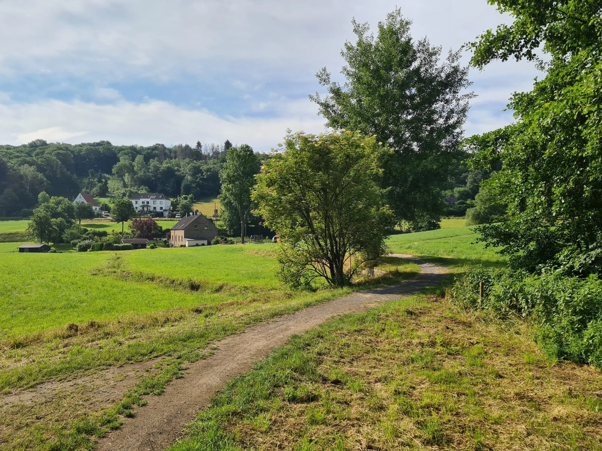
Trail running south of Dortmund – around the Hohensyburg
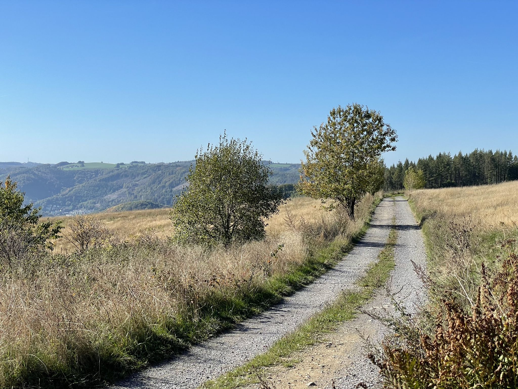
Harkortweg (X 17)
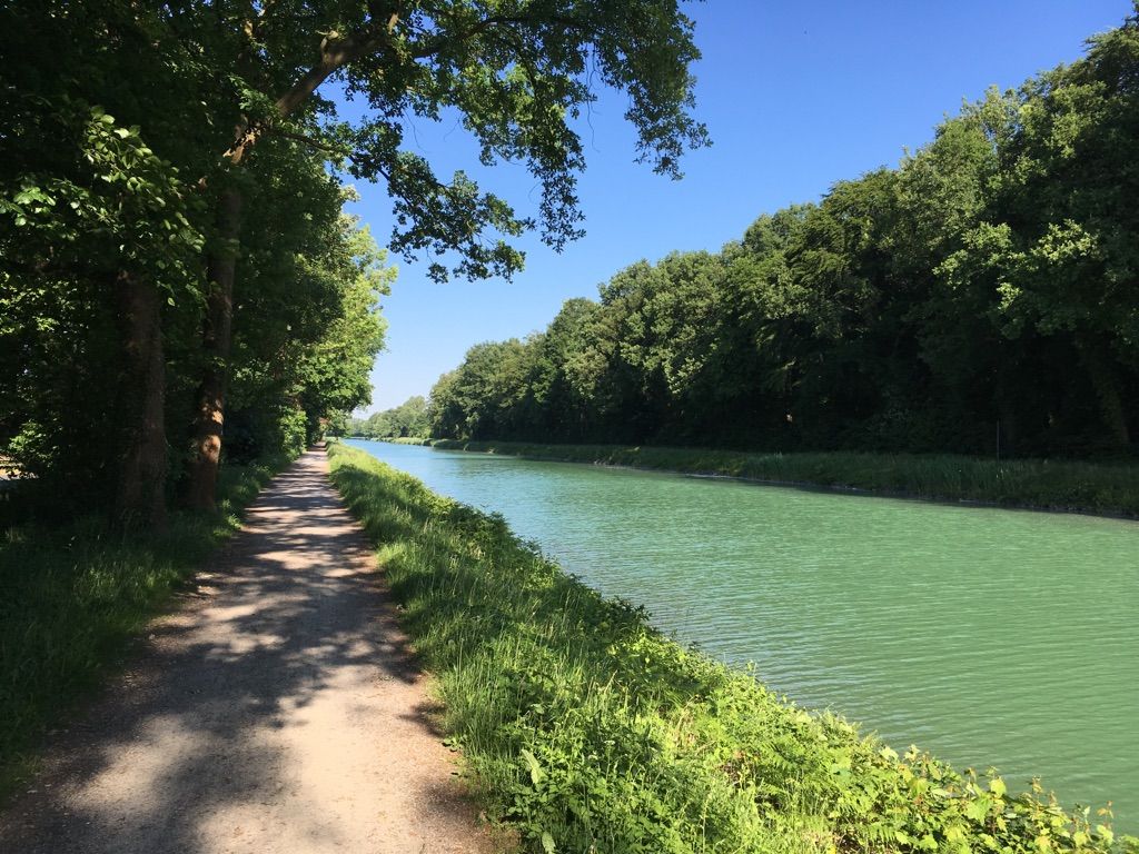
The Ruhr Area Circuit – cycling on the trail of industrial culture
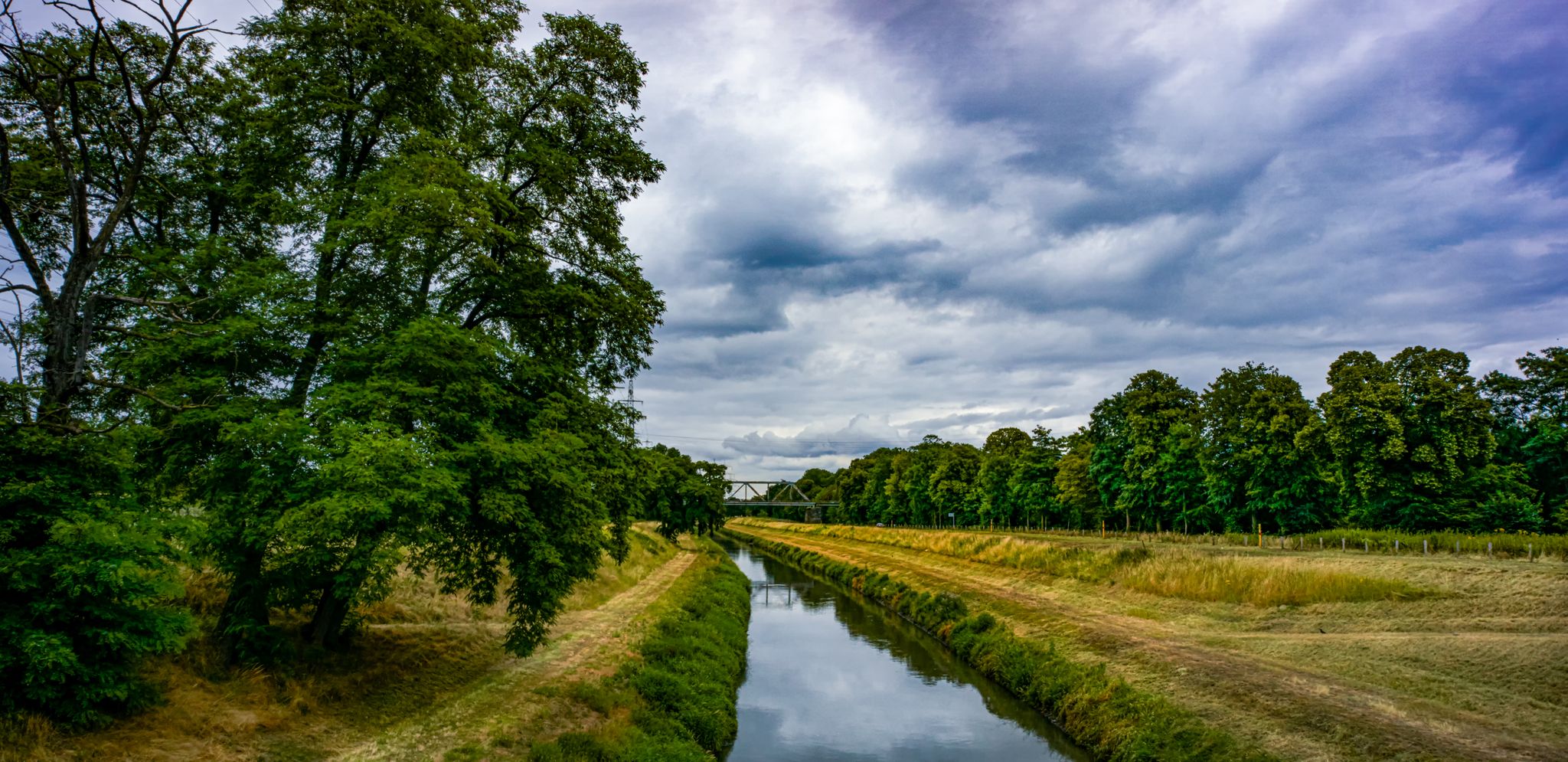
7 extraordinary overnight adventures in the Ruhr area
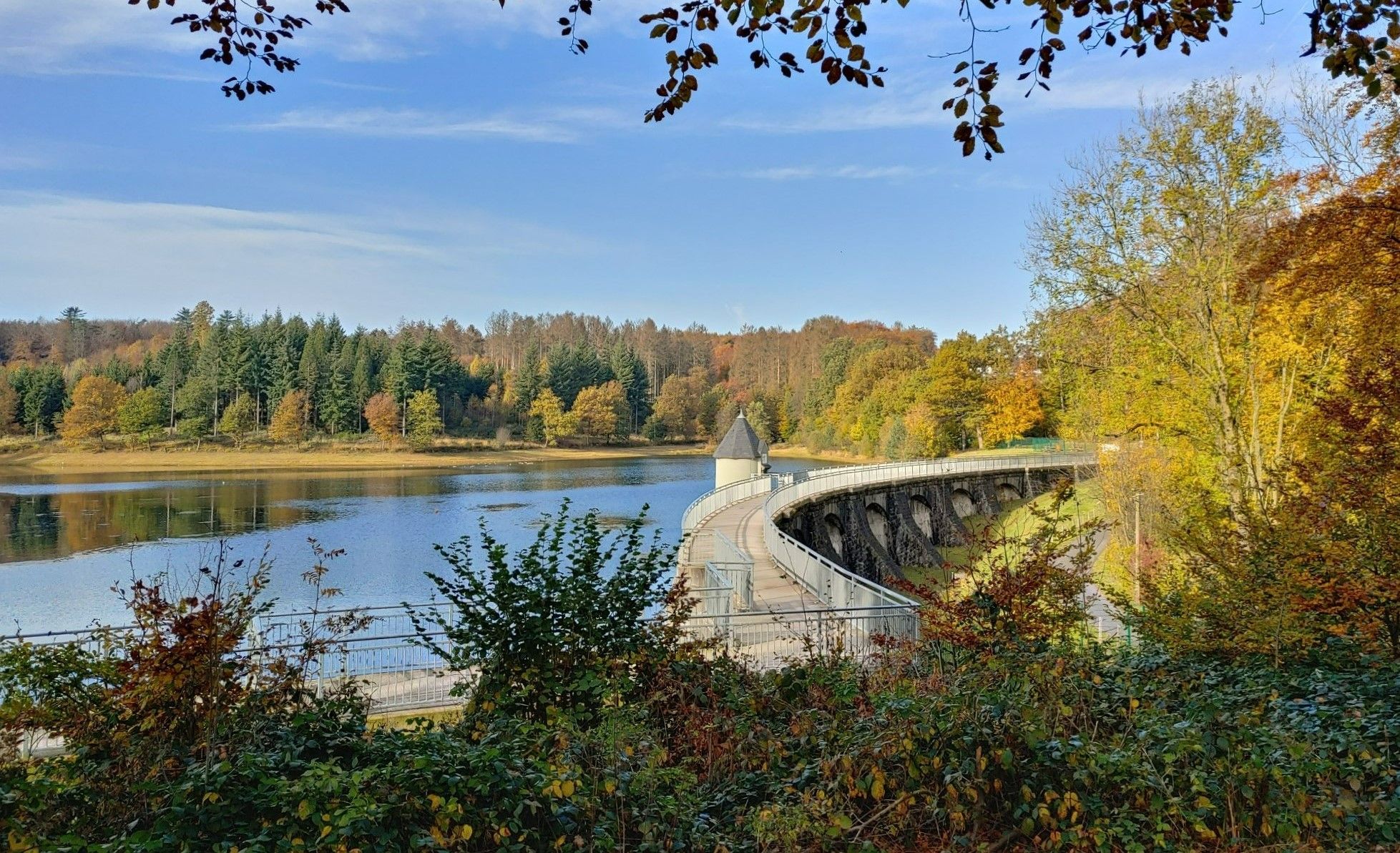
Reservoir hikes — easy walks in the Bergisch Land
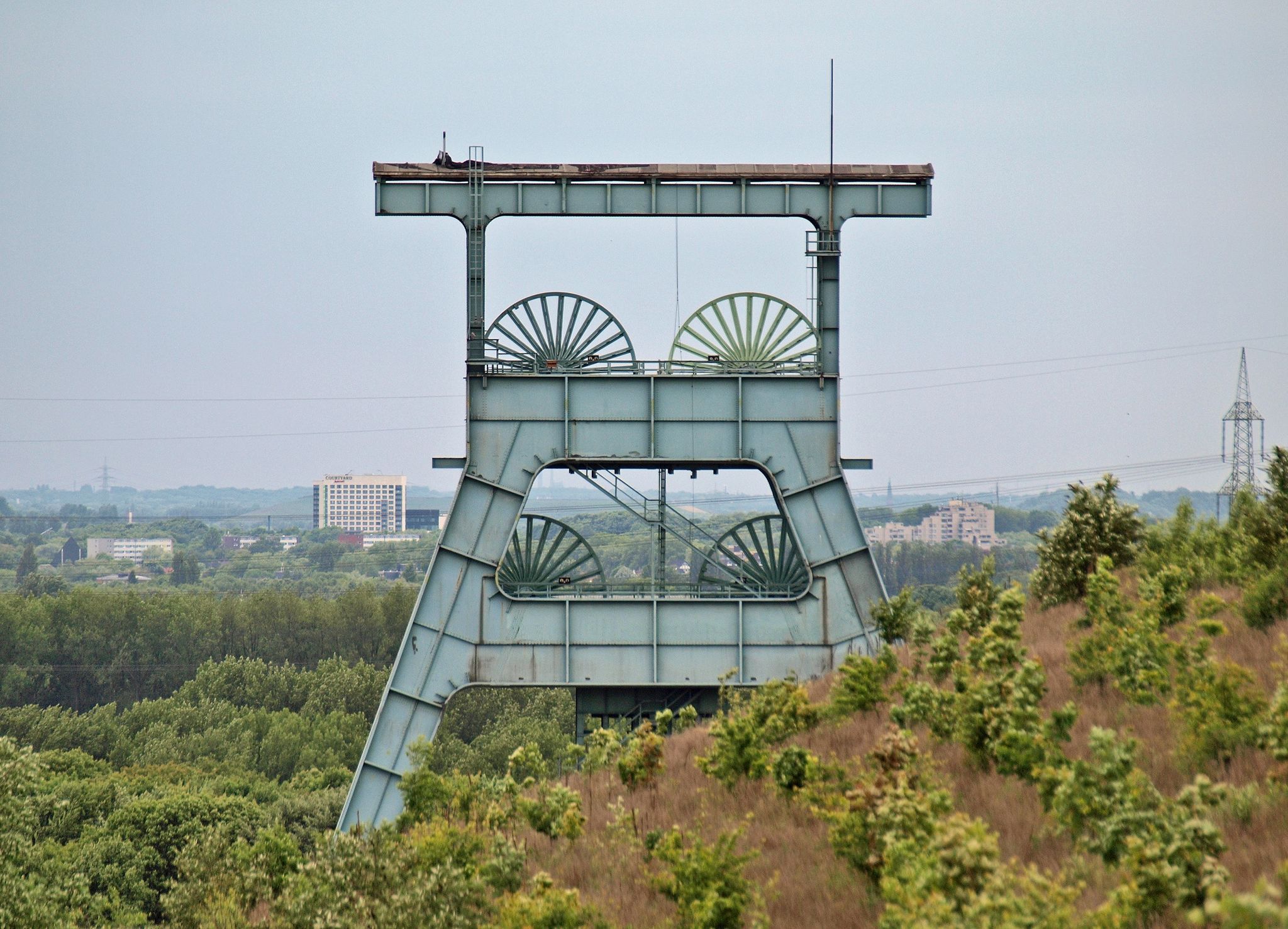
Chasing the flow on coal mines
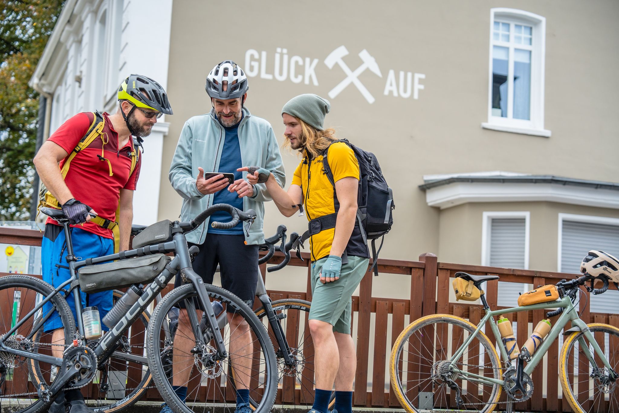
Die lässigsten Graveltouren im radrevier.ruhr
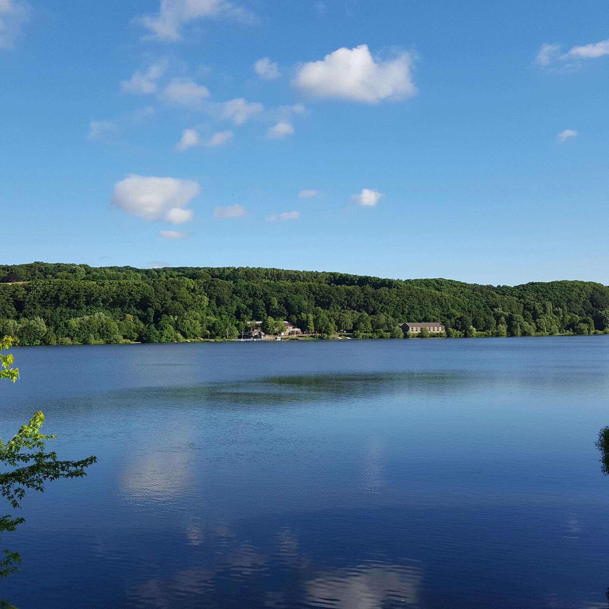
Hiking around Hagen
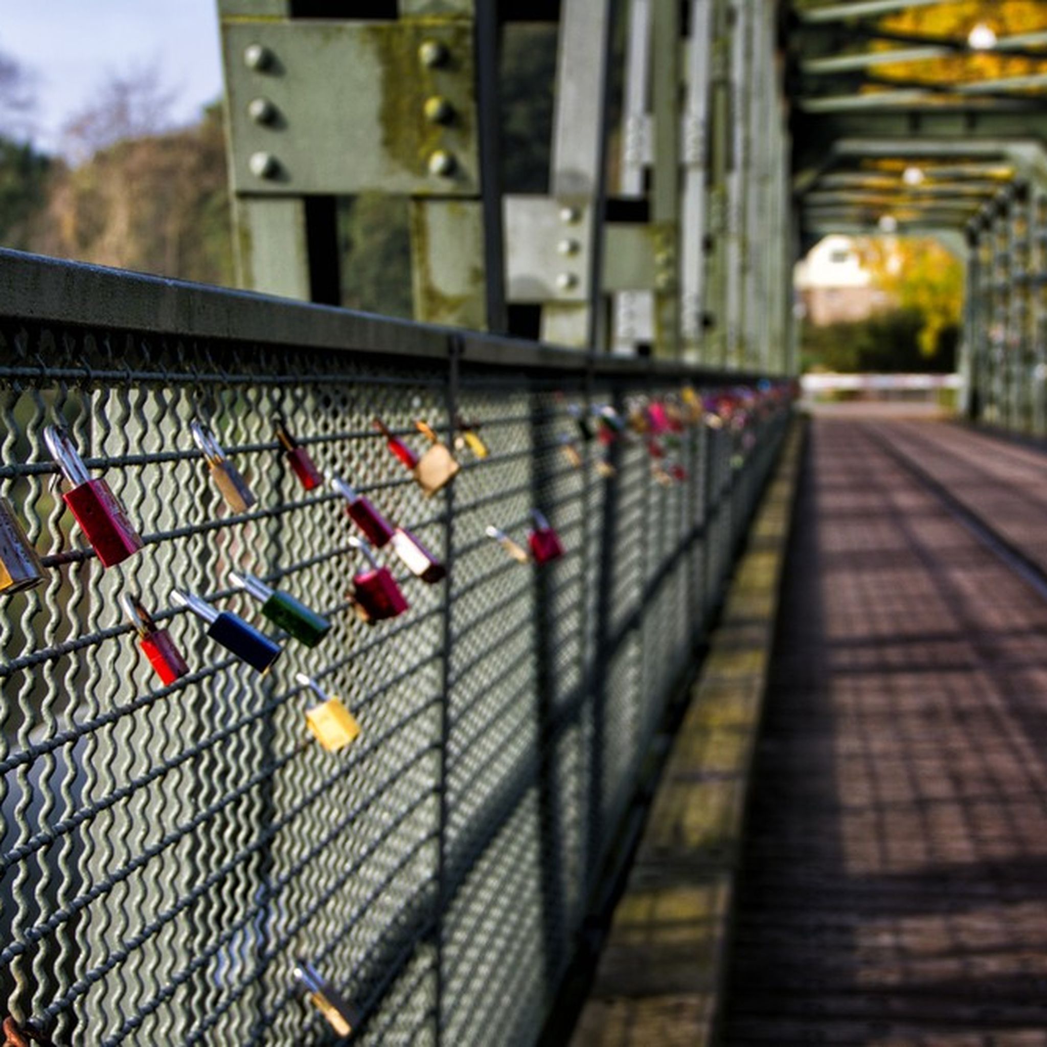
Cycling around Hagen
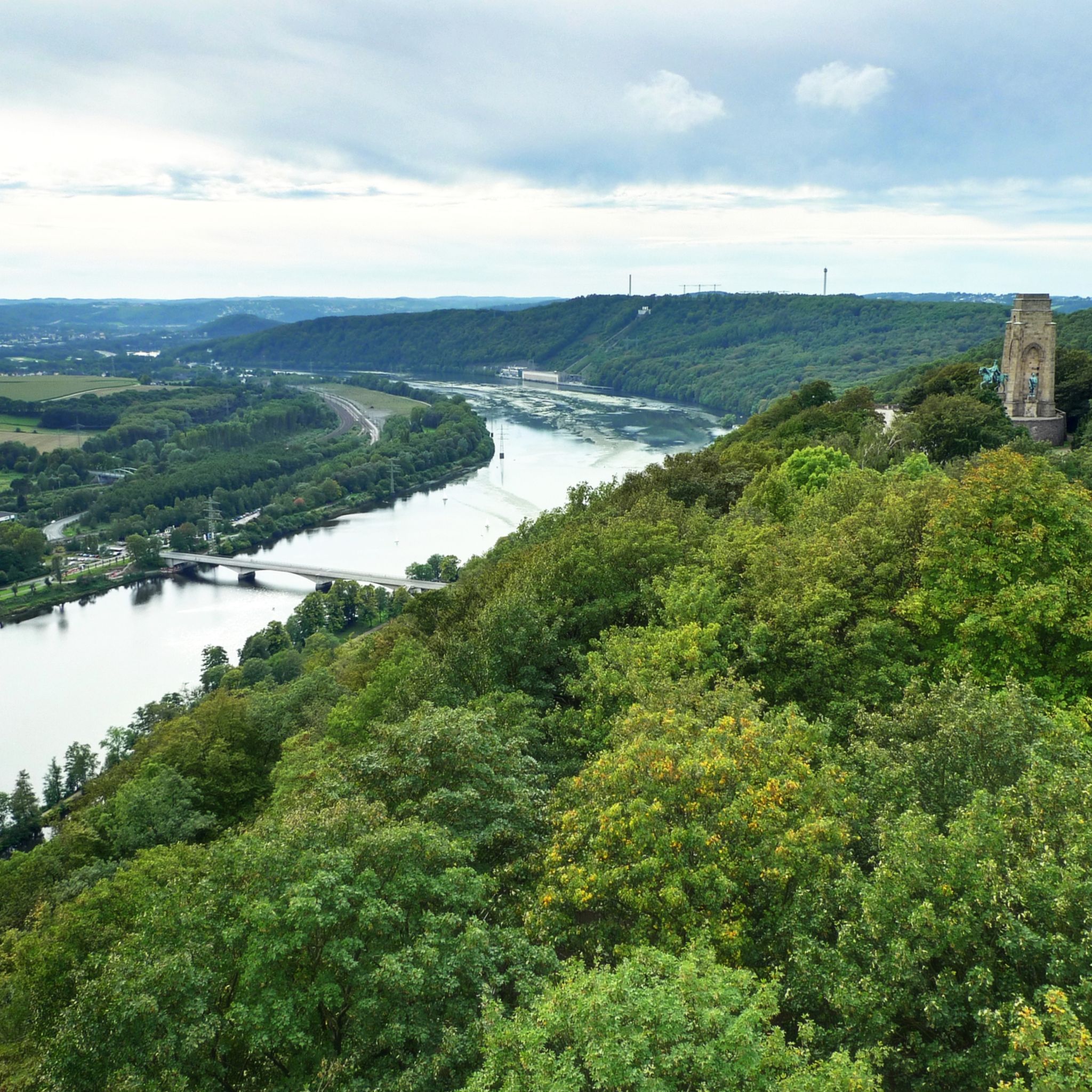
MTB Trails around Hagen
Other adventures around Hagen


Tips from the Community

The ruins of a medieval castle. The Raffenburg was destroyed in 1288. The climb up is not without its challenges, but you'll be rewarded with incredible panoramic views. Perhaps a picnic?
0
0

There is hardly anything left of the castle
1
0

The ruins of Raffenburg on the Raffenberg lie above the Lennetal. It was one of a series of castles that were built since the 12th century to assert the power of the Archbishopric of Cologne.
2
0


Great all-round panoramic view over Hagen and the surrounding area, very nice location
6
0

Built in honor of the Iron Chancellor. Based on the Götterdämmerung design by the architect Wilhelm Kreis
12
0

Panoramic view to the Ruhr area.
5
0
Frequently Asked Questions
What are the most popular elevated areas to visit around Hagen?
Visitors frequently enjoy the Kaiser Friedrich Tower, which offers the highest viewing point in Hagen at 372 meters and includes a restaurant. Another popular spot is the Hagen Bismarck Tower, a 24-meter-high historical monument providing wide views over the valleys. The Panoramic View of the Ruhr Area is also highly regarded for its extensive vistas over Hagen and beyond.
Are there family-friendly elevated areas or viewpoints in Hagen?
Yes, several elevated areas and viewpoints around Hagen are suitable for families. The Kaiser Friedrich Tower, Hagen Bismarck Tower, Summit Cross Hagen, and the Panoramic View of the Ruhr Area are all categorized as family-friendly, offering accessible experiences and scenic views.
What kind of historical sites can I find on or near Hagen's elevated areas?
Hagen's elevated areas are rich in history. You can visit the Hagen Bismarck Tower, a significant monument built in 1901. The Kaiser Friedrich Tower and Freiherr-vom-Stein Tower are also historical viewpoints. Additionally, the Raffenburg Ruins, a mountain castle ruin, offers a glimpse into the region's past, situated within a nature reserve.
What are the highest points in Hagen and what views do they offer?
The highest point within Hagen is Mollberg, reaching 412 meters. While specific details about its individual features are limited, it likely offers panoramic views. The Kaiser Friedrich Tower, located on a 372-meter-high elevation, provides the highest accessible viewing point in Hagen, with magnificent panoramic views. The Summit Cross Hagen is also considered a high point with great views.
Are there hiking trails with significant elevation gain around Hagen?
Yes, the region offers trails with noticeable elevation changes. For a challenging experience, consider the "Hagen Bismarck Tower – Kaiser Friedrich Tower loop" which is part of the Mountain Hikes around Hagen guide. This route connects two prominent elevated landmarks and provides a good workout with rewarding views.
What outdoor activities can I do near the elevated areas of Hagen?
Beyond exploring the elevated areas themselves, Hagen offers diverse outdoor activities. You can find numerous mountain hikes, road cycling routes, and gravel biking trails. Popular routes include those around Lake Hengstey, the Ruhr Viaduct, and through nature reserves like Elbschebach.
Are there places to eat or drink near the elevated viewpoints in Hagen?
Yes, some viewpoints offer amenities. The Kaiser Friedrich Tower has a restaurant and beer garden where you can enjoy a meal or a drink. Near the Hagen Bismarck Tower, there is a small kiosk. The wider area around the 3 Towers Trail also features pubs and cafes.
What is the most prominent elevated area in Hagen?
Kaisberg, at 199 meters, is noted as the most prominent elevated area in Hagen. Its distinct position makes it a significant feature in the landscape, often integrated into hiking routes that explore historical landmarks and varied scenery.
Can I bring my dog on trails around Hagen's elevated areas?
Many hiking trails around Hagen's elevated areas are dog-friendly, allowing you to explore the scenic beauty with your canine companion. It's always advisable to keep dogs on a leash, especially in nature reserves or areas with wildlife, and to check local regulations for specific trails.
What natural features can I expect to see when visiting Hagen's elevated areas?
The elevated areas around Hagen offer a mix of natural beauty. You'll find extensive forests, river valleys, and panoramic viewpoints. From spots like the Panoramic View of the Ruhr Area, you can observe the blend of urban and natural landscapes. The region is situated between the wooded Sauerland and the flatter Ruhr region, providing diverse scenery.
What do visitors enjoy most about the elevated areas in Hagen?
Visitors particularly appreciate the expansive views and the recreational opportunities. Many enjoy the sense of achievement from reaching a summit or viewpoint, the historical significance of towers like the Hagen Bismarck Tower, and the chance to relax at places like the Kaiser Friedrich Tower with its restaurant. The blend of nature, history, and accessibility makes these spots highly valued.
Are there any hidden or less-known elevated spots worth exploring in Hagen?
While the main highlights are well-known, exploring the numerous trails can lead to quieter, less-trafficked elevated spots. Areas like Eilper Berg, Nöckel, and Stoppelberg, though not as frequently highlighted, contribute to Hagen's hilly landscape and offer serene hiking experiences away from the busiest viewpoints. The Amtsstein is another summit that offers a viewpoint.
Most popular routes around Hagen
Most popular attractions around Hagen

Get inspired with the komoot mobile app


Explore more
See even more amazing summits around Hagen with these guides:
