The 20 Most Amazing Peaks around Landkreis Bad Dürkheim
Mountain peaks Landkreis Bad Dürkheim are located within the Palatinate Forest, providing a variety of elevated points. This region features natural summits, observation towers, and historical monuments. These locations offer views of the surrounding landscape, including the Rhine plain and the Haardt Mountains. The area's mountains are integrated into extensive hiking and cycling networks.
Best mountain peaks around Landkreis Bad Dürkheim
- The most popular mountain peaks is Bismarck Tower on Peterskopf, a man_made_monument that serves as a junction for…
Last updated: July 7, 2026
Bismarck Tower on Peterskopf
Highlight • Monument
Showing Translation
Tip by

Eckkopf Observation Tower
Highlight • Viewpoint
Translated by Google •
Tip by

Sign up now to discover places like this
Get recommendations on the best single tracks, peaks, & plenty of other exciting outdoor places.
Sign up for free
Flag Tower, Bad Dürkheim
Highlight • Monument
Translated by Google •
Tip by

Pine Forest Trail to the Heidenlöcher
Highlight (Segment) • Trail
Translated by Google •
Tip by

Zeppelinturm (Schneckennudel) observation tower
Highlight • Viewpoint
Translated by Google •
Tip by

Kamelkopf Rock Formation
Highlight • Natural Monument
Translated by Google •
Tip by

Krummholzer Stuhl (Roman quarry)
Highlight • Historical Site
Source (quoted verbatim): tourenplaner-rheinland-pfalz.de/de/punkt/felsen/krummholzer-stuhl/13353106/#caml=a14,1cgehp,86n3qd,0,0
Translated by Google •
Tip by

Schlagbaum Trail Junction
Highlight • Trail
The quickest and easiest way is via the Weilach (Leistadt district).
From there, many hikes and bike tours are possible in all directions.
Towards …
Translated by Google •
Tip by

Kieskautberg (461 m)
Highlight (Segment) • Summit
The Kieskautberg is a 461 m high mountain two kilometers south of Carlsberg.
Translated by Google •
Tip by

Hinterer Stoppelkopf Summit (566 m)
Highlight • Summit
In seasons when the trees have leaves, it can also look different ...
Translated by Google •
Tip by
Sign up for free to discover even more peaks around Landkreis Bad Dürkheim.
Sign up for free
Already have an account?
Start today with a free account
Your next adventure awaits.
Login or Signup
Popular around Landkreis Bad Dürkheim
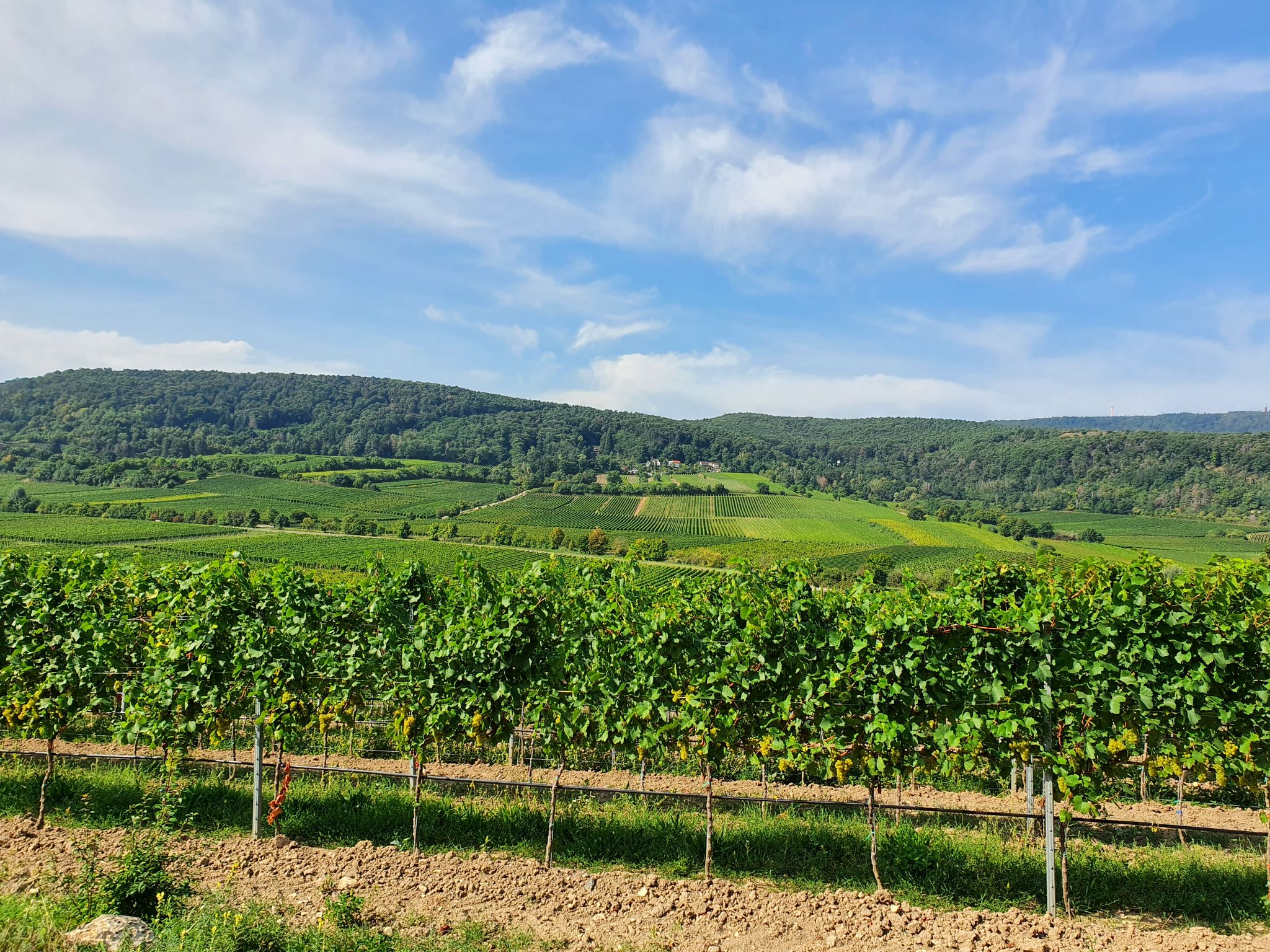
The German Wine Route through the Palatinate — Come here, walk away!
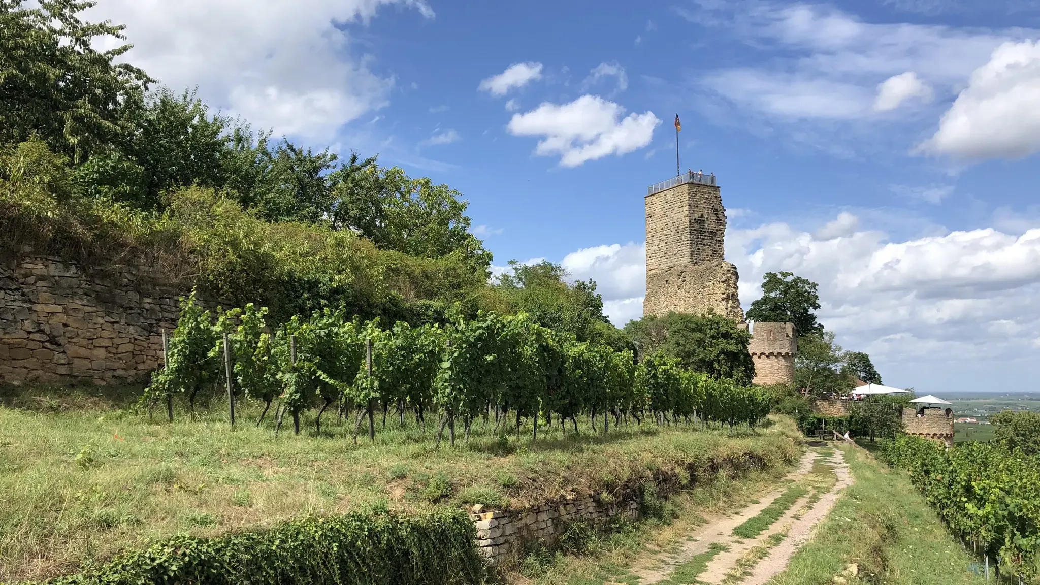
Pfälzer Weinsteig trail – 11 stages along forests and vinyards
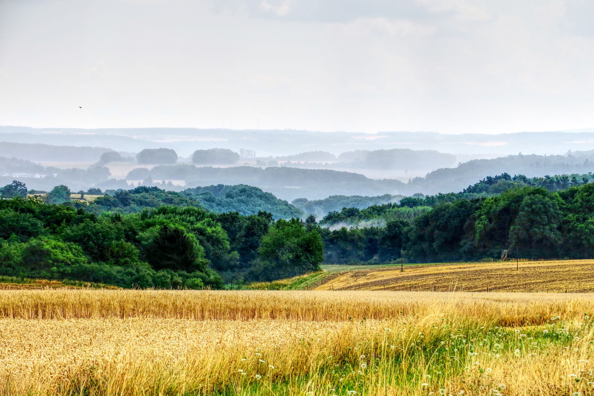
The National Natural Landscapes in Rheinland-Pfalz
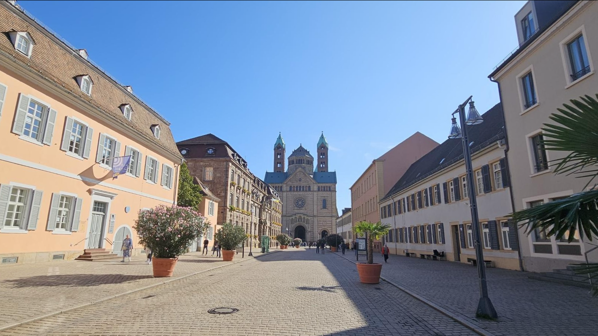
Culture and Nature in the Vorderpfalz - The Salier Cycle Path
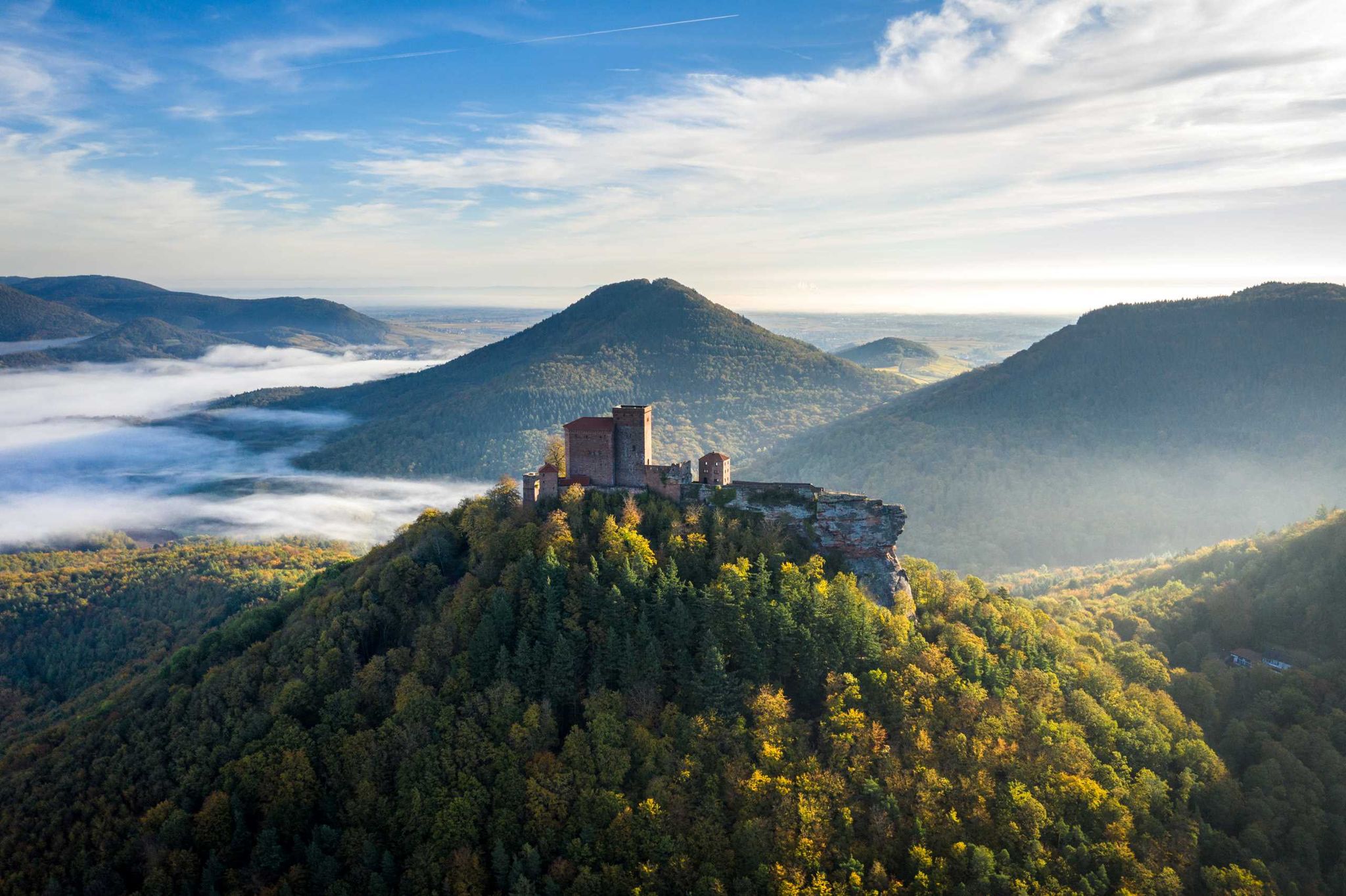
Hiking Menu – luggage free in the beautiful Palatinate
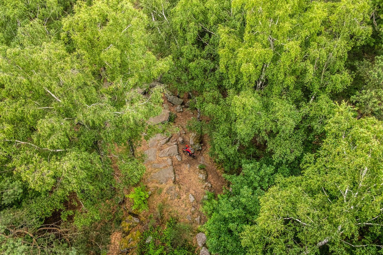
Pfälzerwald-Bikepacking: Four stages with the Gravelbike
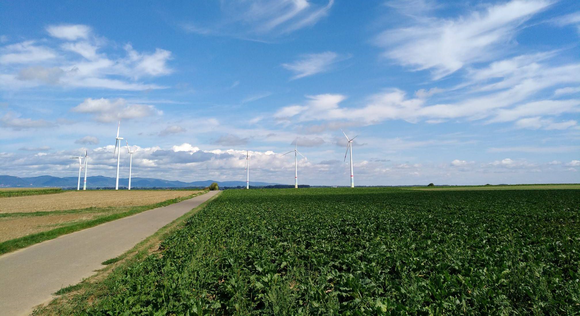
The 'Kraut und Rüben' cycleway — through the Palatinate in 3 stages
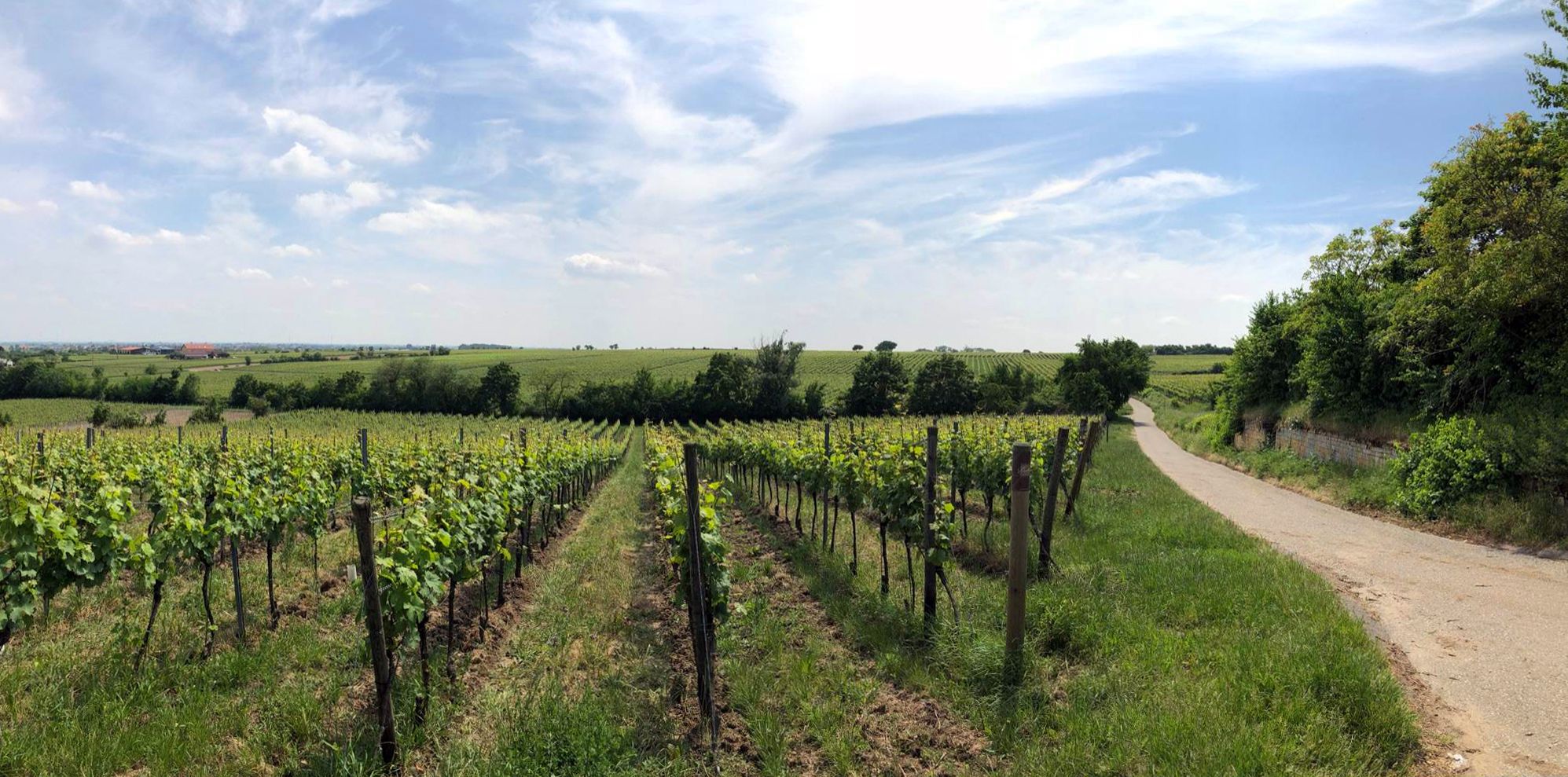
Explore the Palatinate region — German Wine Cycle Route
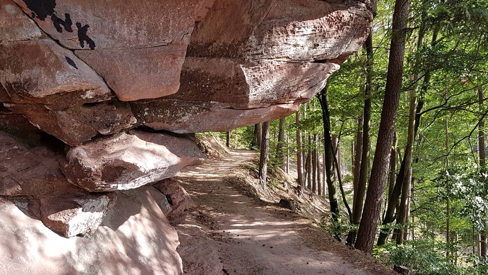
Rocks, forests and hospitality — Trail paradise in the Palatinate
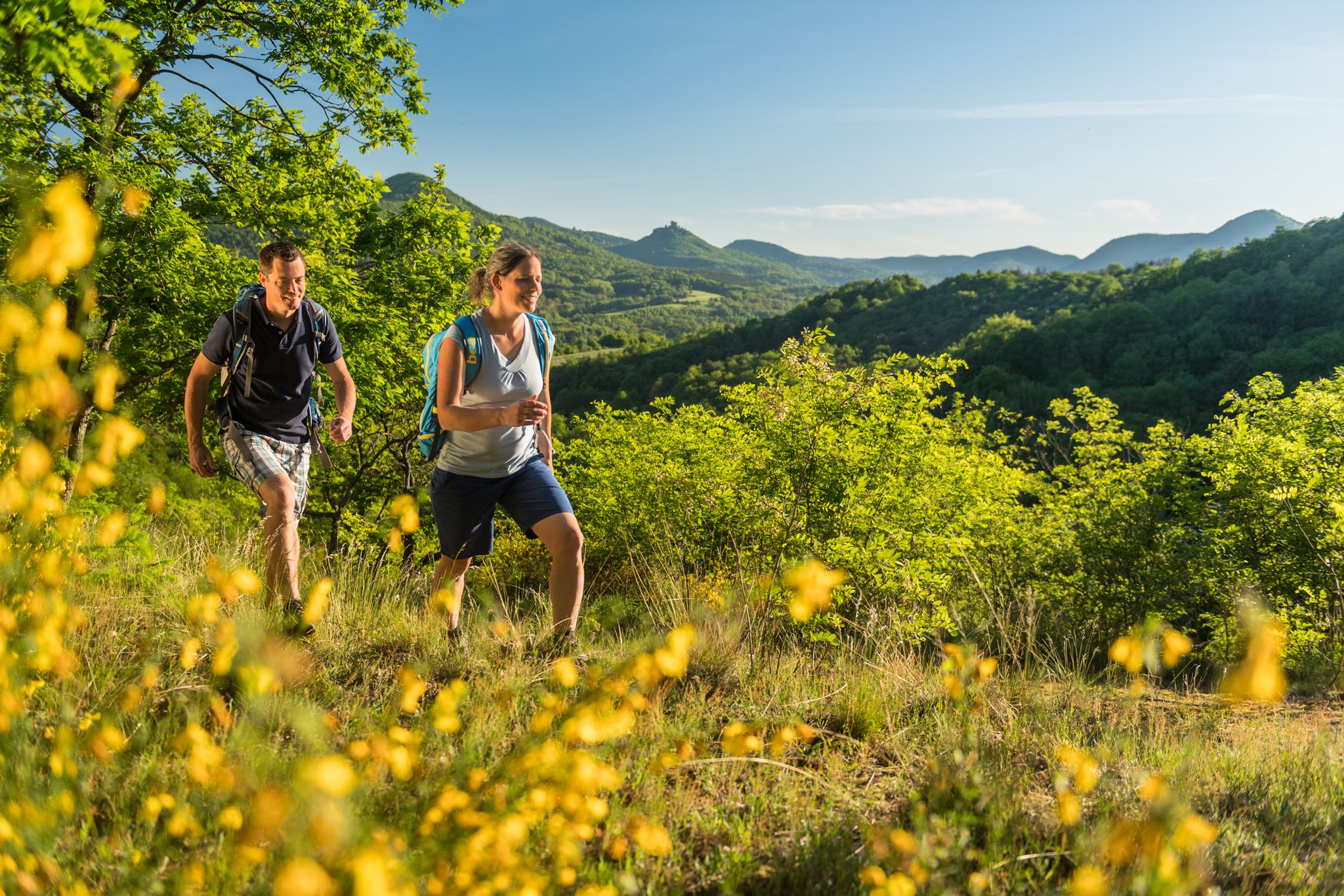
Palatinate hiking menu - immersive day hikes
Other adventures around Landkreis Bad Dürkheim


Tips from the Community

A wonderful forest that reminded me in places of campsites in France. 🧑🌾
0
0

small cross on the Stoppelkopf, the way there is great.
1
0

This impressive rock on the Leininger Burgenweg actually looks a bit like a camel's head.
2
2

From the barrier, easy-to-drive forest roads branch off in all directions.
0
0

"The border between the Freinsheim collective municipality [south; you can see that from the 2 benches] and Grünstadt-Land [north] runs above the Kieskautberg." Source (quoted verbatim): https://www.tourenplaner-rheinland-pfalz.de/de/tour/wanderung/leininger-klosterweg-premiumwanderweg-mit-audio-und-video-stationen/12182719/
2
0

- because of the summit book that you can sign in :)
2
1


More than 1800 years ago the rock was used by the Romans as a quarry. Stone coffins are said to have been made from its stone, as well as parts of the city wall of the former imperial city of Worms am Rhein. In any case, the Krumholzer Stuhl also served as an important boundary mark for the Ganerben, as evidenced by numerous boundary marks in the stone. Source: https://www.pfalz.de/de/sehenswuerdigkeit/pfaelzerwald-krumholzerstuhl
4
0
Frequently Asked Questions
What are some of the most popular mountain peaks and viewpoints in Landkreis Bad Dürkheim?
Visitors frequently enjoy the Bismarck Tower on Peterskopf, a monumental observation tower offering fantastic views. The Eckkopf Observation Tower is another favorite, providing a wonderful panorama from 516 meters above sea level. Additionally, the Flag Tower, Bad Dürkheim, known locally as "Kaffeemühlchen," offers extensive views over the Haardt Mountains and the Rhine plain.
Which mountain peak is the highest point in Landkreis Bad Dürkheim?
The highest point in Landkreis Bad Dürkheim is Bloskülb, standing at 589 meters. While not featuring specific visitor amenities, its status as the region's loftiest point makes it a notable destination for those seeking to conquer the highest elevation.
Are there any historical mountain peaks or towers to visit in the region?
Yes, the region is rich in historical sites. The Bismarck Tower on Peterskopf, built in 1902, is a significant monument. Another historical highlight is the Zeppelinturm (Schneckennudel) observation tower on Ebersberg, which has a history dating back to 1854 as the Malakoff Tower and was renamed in 1909 to commemorate Count Ferdinand von Zeppelin's airship tour.
What kind of views can I expect from the mountain peaks in Landkreis Bad Dürkheim?
The mountain peaks and observation towers in Landkreis Bad Dürkheim offer diverse and stunning views. From locations like the Flag Tower and Eckkopf Observation Tower, you can enjoy panoramic vistas of the Haardt Mountains, the vast Rhine plain, and even the Odenwald on clear days. The Hinterer Stoppelkopf Summit also provides brilliant, albeit sometimes partially obscured, views.
Are there family-friendly mountain peaks or viewpoints suitable for children?
Several spots are great for families. The Bismarck Tower, Kallstadt, offers a great view and has facilities. The Zeppelinturm (Schneckennudel) observation tower is also considered family-friendly. Additionally, the Schlagbaum Trail Junction is a family-friendly trail highlight with forest views.
What outdoor activities can I do near these mountain peaks?
The mountain peaks are integrated into extensive hiking and cycling networks. You can explore various trails, including challenging routes like the Leininger Castle Trail or more moderate options such as the Esthaler Brunnenweg. For gravel biking enthusiasts, there are routes like the 'Eckkopf Observation Tower – Pechstein Trail loop from Bad Dürkheim'. You can find more details on these activities in the Hiking around Landkreis Bad Dürkheim and Gravel biking around Landkreis Bad Dürkheim guides.
Are there any mountain peaks with unique natural features?
Yes, the region offers unique natural features. The Hinterer Stoppelkopf Summit is a prominent natural summit. The Drachenfels (563 m) is a legendary colorful sandstone rock reef featuring several viewing rocks, a dragon's cave, and a dragon's "pulpit," making it a popular spot for scenic circular hikes.
Where can I find refreshments or a place to rest near the mountain peaks?
Many popular spots offer facilities for a break. The Eckkopf Observation Tower often has local clubs hosting hikers and cyclists at its base. The Lindemannsruhe Forest Inn is a hut with restaurant facilities. Additionally, the Bismarck Tower, Kallstadt, has a kiosk with warm food and cakes.
What is the best time to visit the mountain peaks for clear views?
For the best panoramic views, it is advisable to visit on clear days. Locations like the Flag Tower are particularly popular attractions for many visitors when the weather is good, allowing for unobstructed sights of the surrounding landscape.
Are there any lesser-known or 'hidden gem' mountain peaks worth exploring?
While not a hidden gem in the traditional sense, the Kieskautberg (461 m) is a beautiful area, with a section of the Leininger Klosterweg running about it, offering a serene hiking experience away from the most crowded spots.
What makes the Hinterer Stoppelkopf a notable peak?
The Hinterer Stoppelkopf Summit (575 m) is the most prominent mountain in Landkreis Bad Dürkheim. It offers a sense of achievement for hikers and features a summit cross and a guest book. Despite some branches potentially obscuring parts of the panorama, it provides brilliant views.
Can I find observation towers with unique architecture or history?
Absolutely. Besides the historical Zeppelinturm and the Bismarck Tower on Peterskopf made of Palatinate red sandstone, the Flag Tower, Bad Dürkheim is popularly known as "Kaffeemühlchen" due to its distinctive shape, offering a beautiful all-round view.
Most popular routes around Landkreis Bad Dürkheim
Most popular attractions around Landkreis Bad Dürkheim

Get inspired with the komoot mobile app


Didn’t find what you were looking for?
Discover Landkreis Bad Dürkheim’s best peaks and summits by region:
Explore more
See even more amazing summits around Landkreis Bad Dürkheim with these guides:
