Top 20 Mountain Passes in the Bezirk Bludenz
Mountain passes in the Bezirk Bludenz, located in Vorarlberg, Austria, offer routes through the Alps. This region is characterized by its alpine landscapes, connecting valleys and states. The passes provide access to diverse natural features, including glaciated peaks, alpine meadows, and reservoirs. These routes have historical significance, serving as trade links and engineering marvels.
Best mountain passes in the Bezirk Bludenz
- The most popular mountain passes is Cavelljoch (Gafalljoch), a mountain pass that offers views and the opportunity to…
Last updated: June 26, 2026
Wormser Hut
Highlight • Mountain Hut
Showing Translation
Tip by

Silvretta Reservoir Dam
Highlight • Lake
Translated by Google •
Tip by

Sign up now to discover places like this
Get recommendations on the best single tracks, peaks, & plenty of other exciting outdoor places.
Sign up for free
Tiefensee Saddle
Highlight • Mountain Pass
Translated by Google •
Tip by

Cavelljoch (Gafalljoch) with a view of the Lünersee
Highlight • Mountain Pass
Translated by Google •
Tip by

St. Antönier Joch Border Crossing
Highlight • Mountain Pass
Translated by Google •
Tip by

Bielerhöhe and Silvretta Reservoir
Highlight • Mountain Pass
Translated by Google •
Tip by

Klamparasättle
Highlight • Mountain Pass
Translated by Google •
Tip by

Kristbergsattel
Highlight • Mountain Pass
The mountain bike tour to Bartholomäberg and around the Itonskopf with the best panoramic view is recommended from here.
Translated by Google •
Tip by

Stierloch Pass
Highlight • Mountain Pass
Translated by Google •
Tip by

Faschinajoch Pass (1,486 m)
Highlight • Mountain Pass
The Faschinajoch is a mountain pass in the Alps (Eastern Alps, Northern Limestone Alps) at 1486 m above sea level. It connects the valley of the …
Translated by Google •
Tip by

Sign up for free to discover even more mountain passes in the Bezirk Bludenz.
Sign up for free
Already have an account?
Start today with a free account
Your next adventure awaits.
Login or Signup
Popular around Bezirk Bludenz
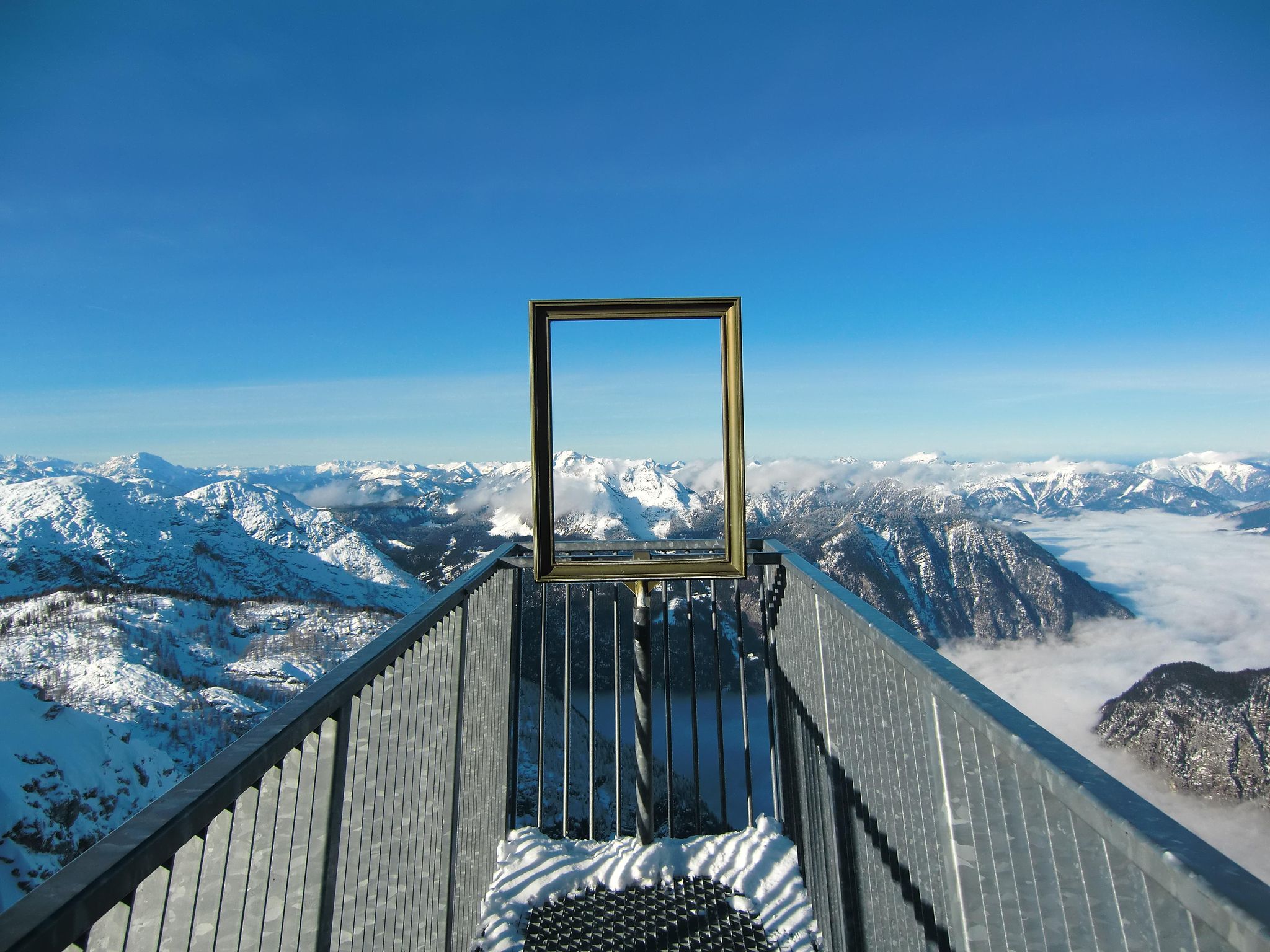
#Winterlove — 14 tips for your winter adventure in Austria
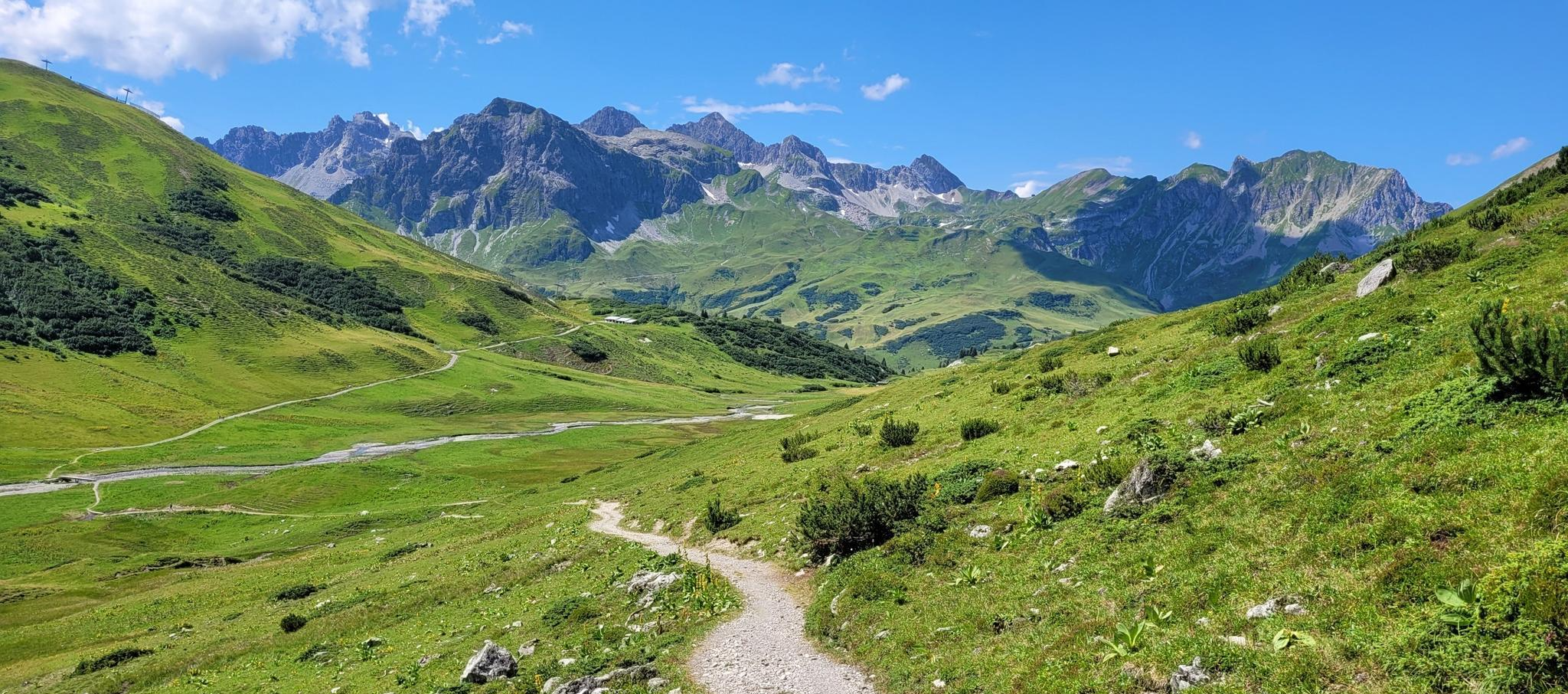
The RUN2 from Lech to Ischgl – Transalpine Run for beginners

North Alpine Trail 01 – Hike across Austria in 49 days

Min Weag long-distance hiking trail – From Lake Constance to the Alps
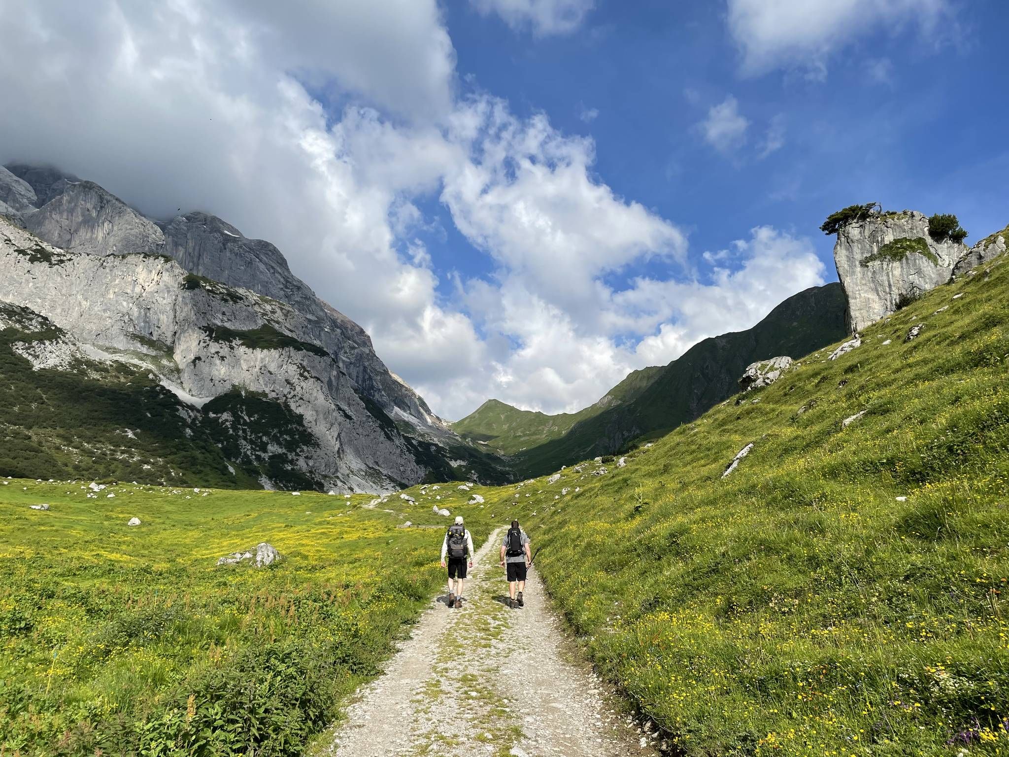
Montafon Hut-to-Hut Hiking Trail – 13 days in Western Austria
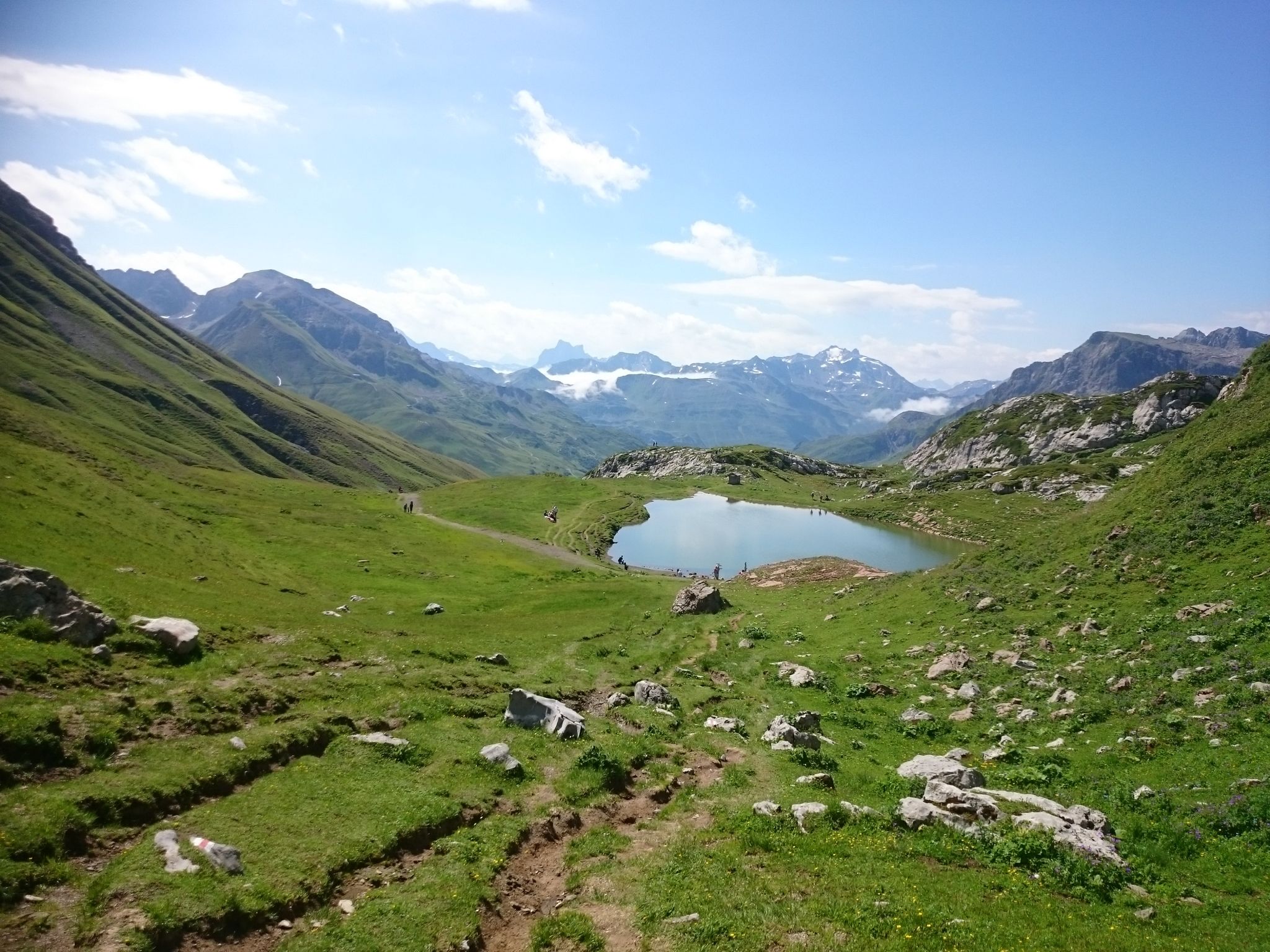
The Green Ring – hiking the fabled mountains of Austria's Arlberg
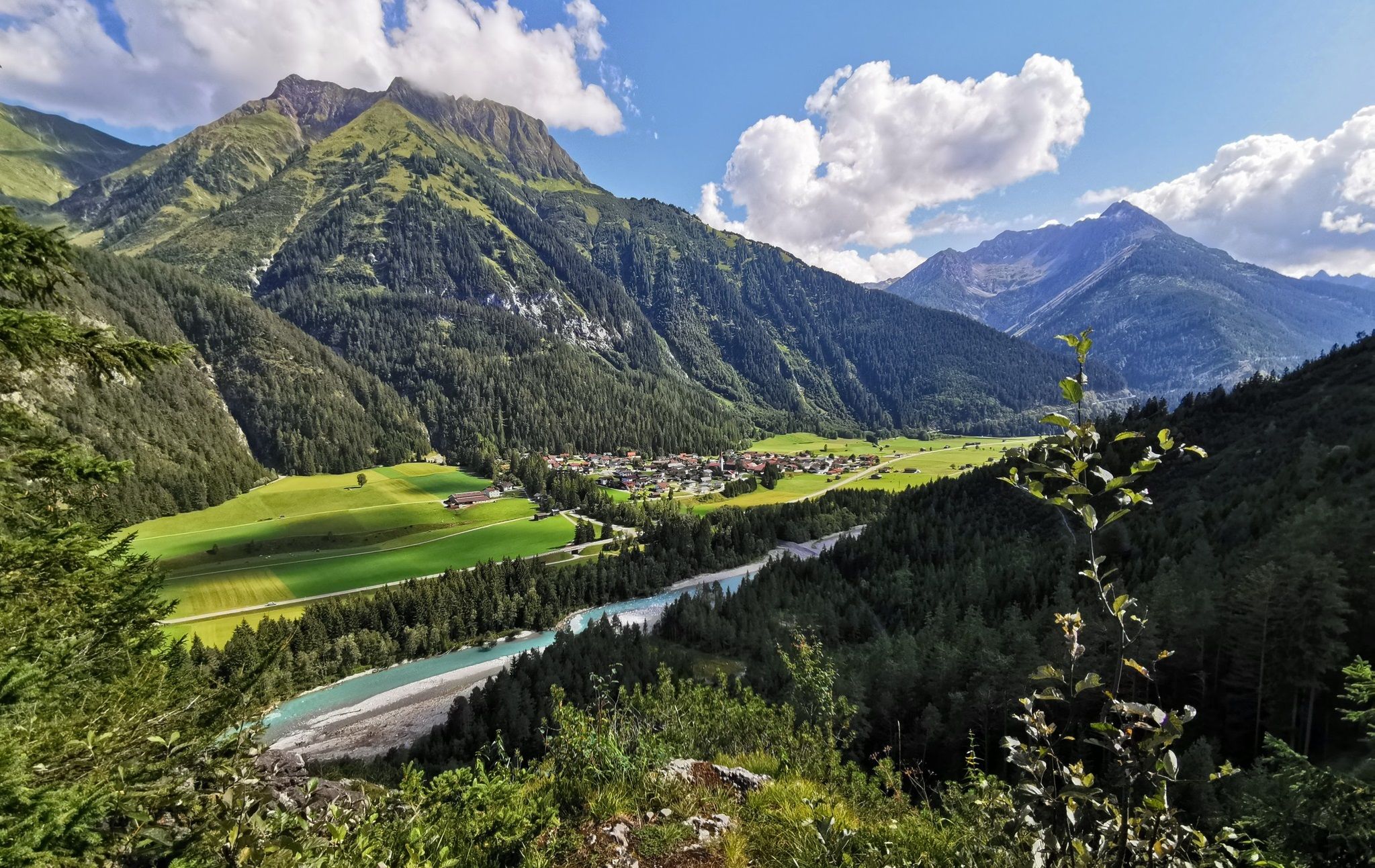
The Lechweg — eight days on Austria's wildest river
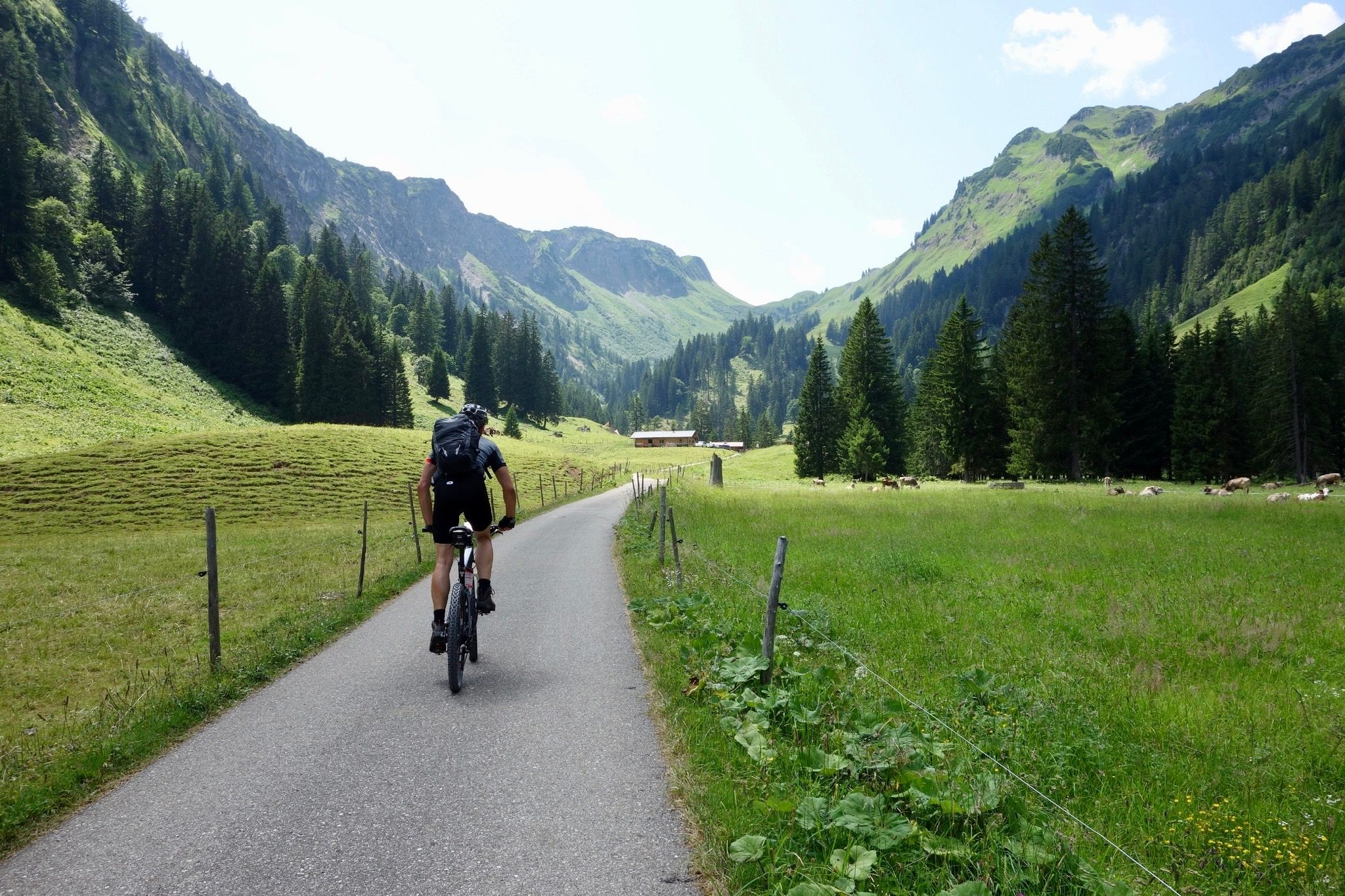
Heckmair Transalp – the original Alpine Crossing
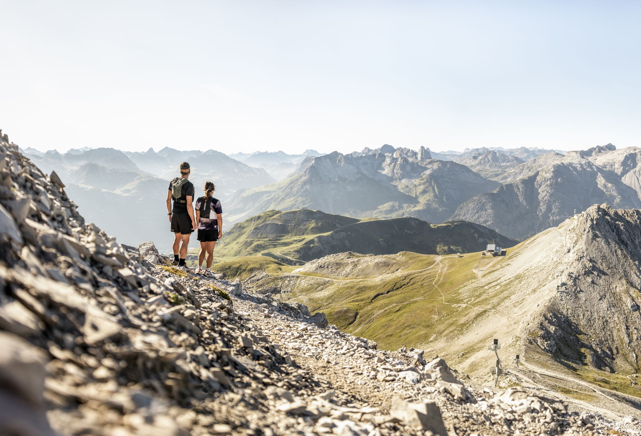
Trail running Lech Zürs – the region's most beautiful trails
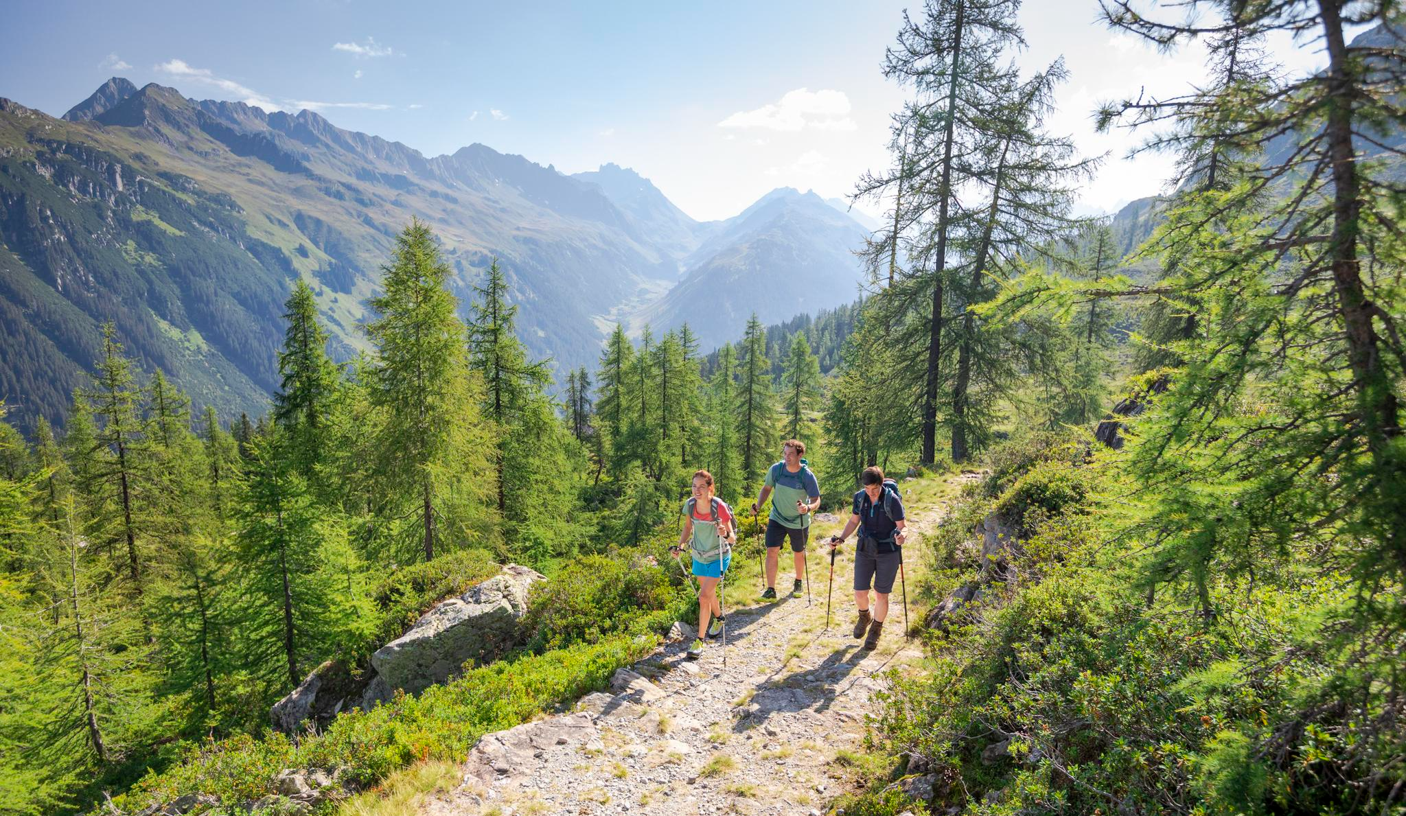
Between Maisäß and Alpe – hiking in Montafon
Other adventures in the Bezirk Bludenz


Tips from the Community

Stierlochjoch (2.009 m) A scenic pass above Lech. Wide mountain panoramas, fresh alpine air, and a perfect spot for a short break in the middle of the flow.
0
0

Transition from the Walgau to the large Walsertal valley. Waypoint between Hoher Fraßen (Rapenschrofenweg) to the west, Breithorn and Els Alpe to the east.
0
0

It's beautiful up here. When I was up here, I was able to not only enjoy the impressive mountain panorama, but also watch the marmots that make their homes here in considerable numbers. I chose the much easier climb over Lake Spullersee; the other side is so steep that it requires full concentration when descending, as the loose gravel can quickly become slippery, and you have to constantly apply both brakes firmly but carefully. The view down into the deeply cut valley is simply beautiful.
1
0

I think most people take a break here; it's a nice spot, but then it goes up a bit further.
3
0

Easy to ride road over the Stierlochjoch from Spullersee to Lech am Arlberg and finally without asphalt!
0
0

There is a marked winter hiking trail around the lake. However, it is only partially groomed and therefore very suitable for snowshoes.
5
0

From here you can walk to the top of the moon (45 min.)
0
1

Found along the Prättigau High Trail. On the Austrian side, directly on the border with Switzerland.
4
0
Frequently Asked Questions
What are some of the most popular mountain passes in the Bezirk Bludenz?
The Bezirk Bludenz is home to several well-known mountain passes. Among the most popular are the Bielerhöhe and Silvretta Reservoir, which is part of the scenic Silvretta High Alpine Road, the historic Arlberg Pass, and the tranquil Faschina Pass. Other highly-rated passes by the komoot community include Cavelljoch (Gafalljoch) and St. Antönier Joch Border Crossing.
Are there family-friendly mountain passes or activities in the Bezirk Bludenz?
Yes, several mountain passes in the Bezirk Bludenz offer family-friendly experiences. The Faschina Pass, located in the UNESCO Biosphere Reserve Großes Walsertal, is known for its quiet, family-friendly atmosphere and the Flower Hiking Trail. The area around Bielerhöhe and Silvretta Reservoir also provides easy walking trails, such as a loop around Silvretta Lake, suitable for families. Additionally, highlights like Kristbergsattel and Klamparasättle are categorized as family-friendly.
What kind of natural features can I expect to see along the mountain passes?
The mountain passes in Bezirk Bludenz offer diverse natural beauty. Along the Silvretta High Alpine Road and Bielerhöhe, you'll encounter glaciated peaks, alpine meadows, and the deep-blue Vermunt and Silvretta lakes. The Arlberg Pass provides spectacular views of the Lechtal Alps and Rosanna Valley. The Faschina Pass offers panoramic views of the Großes Walsertal Biosphere Reserve and the Lechquellengebirge mountains, including the Rote Wand.
What is the best time of year to visit the mountain passes in Bezirk Bludenz?
The best time to visit depends on your desired activities. For driving, cycling, and summer hiking, late spring to early autumn (May to October) is ideal when most passes are fully open and snow-free. The Silvretta High Alpine Road, for instance, is a toll road typically open from late spring to autumn. For winter sports like skiing, ski touring, or snowshoeing, the winter months (December to April) are best, especially around the Arlberg and Faschina passes, which have dedicated ski areas. The Arlberg Pass road itself is generally accessible year-round, with temporary closures only during acute avalanche danger.
Are there historical sites or cultural points of interest along these passes?
Yes, the region's mountain passes have a rich history. The Arlberg Pass served as a crucial trade route as early as the 14th century, connecting Vorarlberg and Tyrol. The Silvretta High Alpine Road itself is a marvel of Alpine engineering, originally built in connection with a hydroelectric power project. You can also visit St. Antönier Joch Border Crossing, a mountain pass and historical site that forms the border between Austria and Switzerland, known as a former smugglers' path.
What outdoor activities can I do near the mountain passes in Bezirk Bludenz?
The mountain passes serve as excellent starting points for various outdoor activities. Near the Silvretta High Alpine Road and Bielerhöhe, you can enjoy walking, hiking, fishing, and climbing via ferratas. The Arlberg region is world-renowned for alpine skiing in winter, and in summer, it's popular for hiking, biking, canyoning, rafting, and paragliding. The Faschina Pass area is great for hiking, including the Flower Hiking Trail, and offers a ski area in winter. For more detailed routes, explore the hiking guides or road cycling guides for the Bezirk Bludenz.
Are there options for public transport or parking near the mountain passes?
Accessibility varies by pass. The Silvretta High Alpine Road is a toll road, but in winter, the area around Bielerhöhe can be accessed via the Vermuntbahn cable car and tunnel bus when the road is closed. Parking is available at key points like the Silvretta Reservoir. The Arlberg Pass is generally toll-free and accessible, though a tunnel handles most traffic, leaving the pass road less congested. Specific parking information for each pass is best checked locally or through regional tourism boards.
What do visitors enjoy most about the mountain passes in Bezirk Bludenz?
Visitors frequently praise the breathtaking panoramic views and the sense of accomplishment after reaching the summits. For example, the ascent to Bielerhöhe and Silvretta Reservoir is often described as being rewarded with a wonderful panorama. Hikers at Cavelljoch (Gafalljoch) appreciate the stunning views and the unique experience of standing with one foot in Switzerland and one in Austria. The delicious food and cozy atmosphere at mountain huts, such as the Wormser Hut near Wormser Hut, are also highly valued.
Can I find accommodation or places to eat near the mountain passes?
Yes, there are various options for accommodation and dining. Along the Silvretta High Alpine Road, you'll find restaurants at the top of the Bielerhöhe pass near the reservoir. The Arlberg region is well-developed with numerous resorts like St. Anton, Lech, and Zürs offering a wide range of hotels, restaurants, and pubs. Mountain huts, such as Wormser Hut, also provide food and sometimes overnight stays.
Are there specific hiking trails recommended for different difficulty levels?
Yes, the region offers trails for various fitness levels. Around Bielerhöhe, there are easy, short loops suitable for light footwear, as well as more challenging routes up to the peaks. The St. Antönier Joch Border Crossing is described as a demanding trail requiring good shoes, surefootedness, and a head for heights due to scree fields. For easier options, consider the easy hikes in the Bezirk Bludenz guide, or for more challenging adventures, consult the general hiking guide.
What is unique about the Silvretta High Alpine Road and Bielerhöhe Pass?
The Silvretta High Alpine Road, often called the 'Dream Road of the Alps,' is a 22.3-kilometer toll road featuring 34 hairpin bends and an elevation gain of 1,051 meters. Its highest point is the Bielerhöhe Pass at 2,032 meters. It's renowned for its stunning panoramic views of glaciated peaks and the deep-blue Vermunt and Silvretta lakes. A unique experience is walking through an illuminated tunnel near the reservoir. You can learn more about this iconic route on austria.info.
Is the Arlberg Pass suitable for cycling?
Yes, the Arlberg Pass road offers a scenic alternative to the tunnel for cyclists. While the tunnel handles the majority of traffic, the pass road provides a less congested route with spectacular views of the surrounding mountains. It features around 9 hairpin bends and an average gradient of 6%, making it a rewarding challenge for road cyclists. You can find specific routes in the Road Cycling Routes in the Bezirk Bludenz guide.
Most popular routes in the Bezirk Bludenz
Most popular attractions in the Bezirk Bludenz

Get inspired with the komoot mobile app


Didn’t find what you were looking for?
Find even more amazing mountain passes in the Bezirk Bludenz organized by region:
