The best running trails around Williamstown
5.0
(2)
277
runners
26
runs
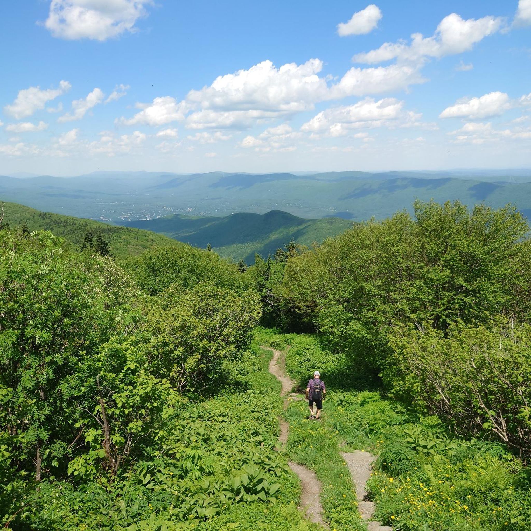
Jogging routes around Williamstown offer a diverse environment for outdoor activity, characterized by its position at the base of Mount Greylock, the highest point in Massachusetts. The region features a mix of mountain trails, dense woods, and open fields, providing varied terrains for runners. Rivers like the Hoosic and Green River also contribute to the landscape, offering scenic riverside paths. This combination of natural features creates a dynamic setting for running.
Best jogging routes around Williamstown
- The most popular jogging…
Last updated: October 2, 2026
14
runners
6.47km
00:41
60m
60m
Moderate run. Good fitness required. Mostly paved surfaces. Suitable for all skill levels.
15
runners
9.59km
01:03
110m
110m
Moderate run. Good fitness required. Mostly paved surfaces. Suitable for all skill levels.

10
runners
19.0km
02:29
590m
590m
Hard run. Very good fitness required. Mostly paved surfaces. Suitable for all skill levels.
17
runners
7.63km
00:49
20m
20m
Moderate run. Good fitness required. Mostly paved surfaces. Suitable for all skill levels.
9
runners
15.9km
01:55
260m
260m
Hard run. Very good fitness required. Mostly paved surfaces. Suitable for all skill levels.
Get access to more routes and recommendations from other explorers.
Already have an account?
Our route recommendations are based on thousands of hikes, rides, and runs completed by other people on komoot.
Start today with a free account
Your next adventure awaits.
Popular around Williamstown
Tips from the Community

The 1753 House stands as a faithful reproduction of a settler's home from 1753 in The Berkshires. Situated in Field Park at Williamstown's west end, it was built by volunteers in 1953 to commemorate the town's Bicentennial. Early settlers in the Hoosac Valley, including Williamstown and North Adams, were obligated by contract to construct a house of specific dimensions and clear a designated amount of land to secure their lot. You can see the house from the roadside.
0
0

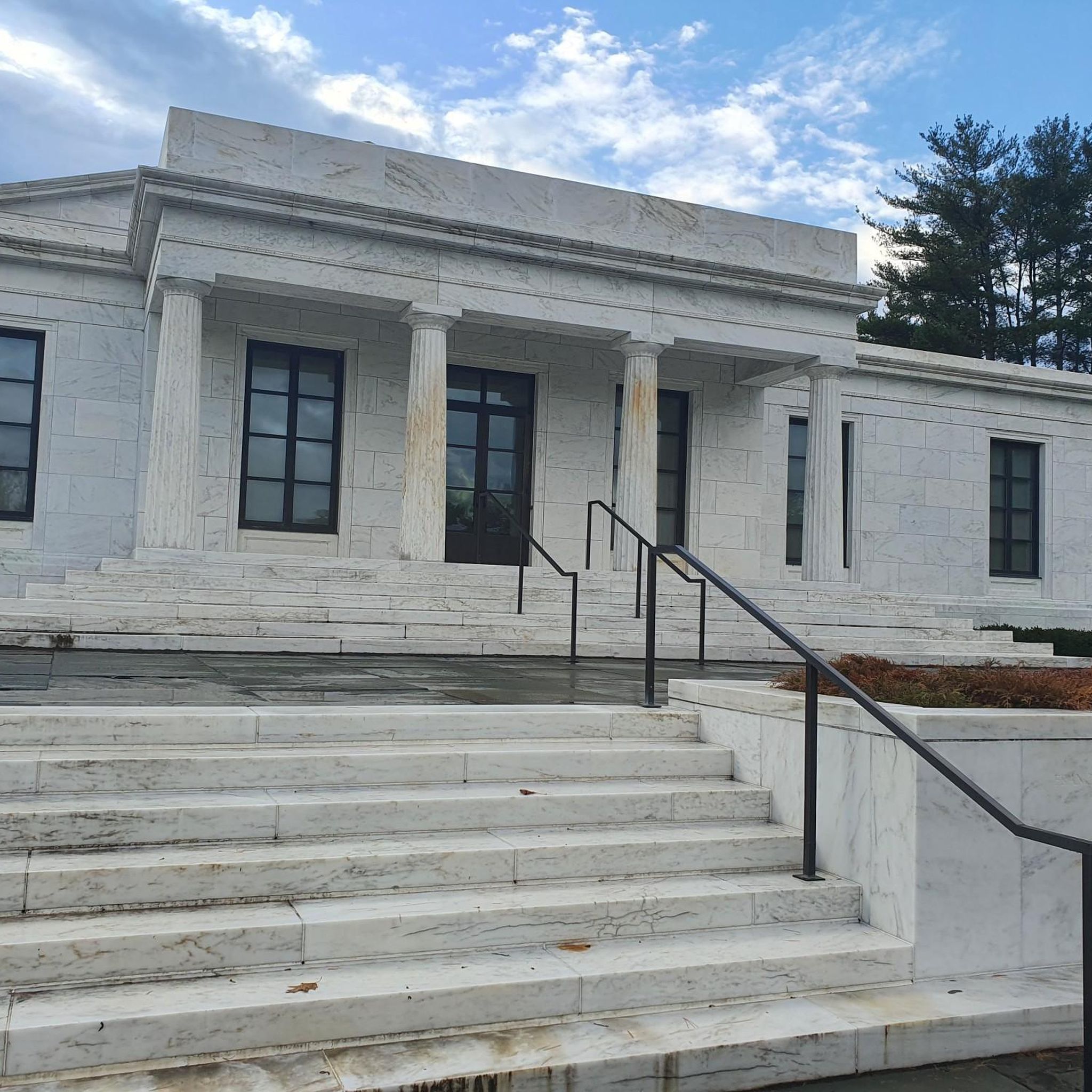
Great trail that runs through the Clark Art Institute. There are great views into the valley and you will come across some sculptures during your walk.
1
0

The Fitch Memorial Lands, located in Williamstown, Massachusetts, is a great small nature preserve with some nice hiking trails through the woods and open fields. This is a nice spot to keep an eye out for livestock and wildlife as you ride on Bee Hill Road. There is also a picnic table under a tree just off the parking area if you want a scenic spot to sip some water and eat a snack.
0
0
The Fitch Memorial Lands, located in Williamstown, Massachusetts, is a great small nature preserve with some nice hiking trails through the woods and open fields. This is a nice spot to keep an eye out for livestock and wildlife as you ride on Bee Hill Road. There is also a picnic table under a tree just off the parking area if you want a scenic spot to sip some water and eat a snack.
1
0

The beautiful Hoosic River runs through three states and is fed by streams from the Green Mountains of Vermont, the Taconics of New York and the lofty sides of Mount Greylock, the highest peak in Massachusetts (3,491 ft.). Its meandering journey travels 70 miles from where it begins at the Cheshire Reservoir in Massachusetts, to where it eventually enters the Hudson River at Stillwater, NY.
0
0

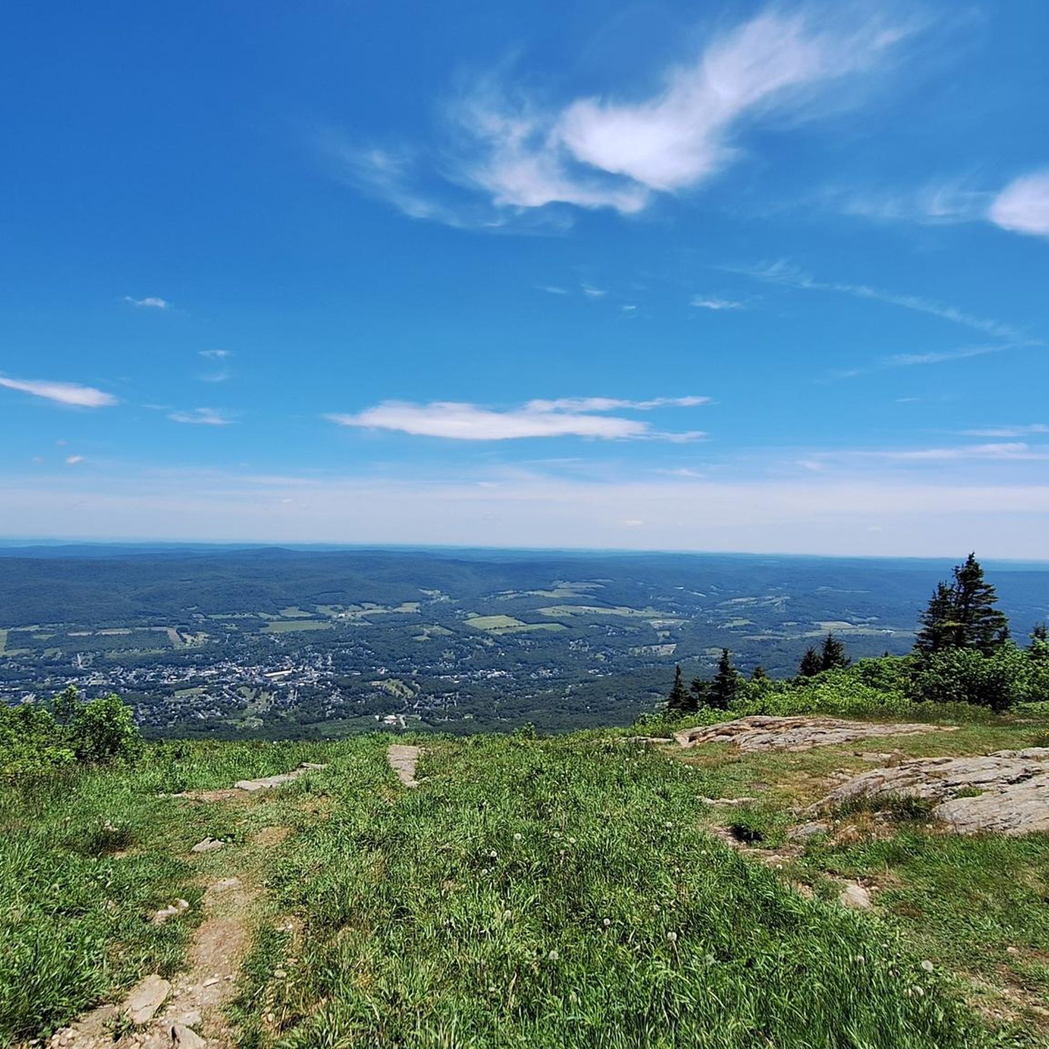
Wonderful view from the art hiking trail into the valley
0
1
Frequently Asked Questions
What kind of terrain can I expect on running routes in Williamstown?
Williamstown offers a diverse range of running terrains. You'll find everything from challenging mountain trails at the base of Mount Greylock and its prominent feature, The Hopper, to serene riverside paths along the Hoosic and Green Rivers. There are also forested loops with varying elevation gains, such as those in Hopkins Memorial Forest, and open fields, providing options for all fitness levels.
Are there any easy or beginner-friendly running trails in Williamstown?
Yes, Williamstown has options suitable for beginners. The 1753 House loop from The Clark Art Institute is a moderate 4.0-mile (6.5 km) trail that offers pleasant running with relatively gentle elevation changes. Additionally, the Mohican Recreational Path, a multi-use, mostly paved trail along the Hoosic River, provides an accessible and scenic 2.5-mile route.
What are some scenic viewpoints or natural features I can see while jogging in Williamstown?
Williamstown's routes are rich with scenic beauty. You can enjoy sweeping views of rolling mountains and forests from Stone Hill, accessible via trails from The Clark Art Institute. The Pine Cobble Trail offers rewarding views of the town after a good climb. For river scenery, the Hoosic and Green Rivers provide picturesque backdrops, and Mount Hope Park features small trails through hemlock forests with views of rushing cascades. Don't miss the mountain vistas at Mountain Meadow Preserve.
Are there any running routes in Williamstown that are suitable for families?
For family-friendly running, the Mohican Recreational Path is an excellent choice. It's a mostly paved, multi-use trail along the Hoosic River, making it accessible and safe for all ages. Linear Park also offers pleasant, easy paths suitable for a family outing. For a slightly longer option, the Running loop from Williams College provides pleasant running options around the college grounds and Linear Park.
Can I bring my dog on the jogging trails in Williamstown?
Many outdoor areas in Williamstown are dog-friendly, but it's always best to check specific trail regulations. Generally, trails in natural areas like Hopkins Memorial Forest and the Mohican Recreational Path are popular with dog owners. Please ensure your dog is leashed and you clean up after them to maintain a pleasant experience for everyone.
Are there circular running routes available in Williamstown?
Yes, many of the routes in Williamstown are designed as loops, offering a varied experience without retracing your steps. For instance, the Hopkins Memorial Forest loop from Williamstown is a 4.4-mile (7.1 km) trail that takes you through varied elevation gains within the forest. The trails at The Clark Art Institute, such as the 1753 House – Smith Hill loop, also offer longer circular options.
What are the parking options like for Williamstown's running trails?
Parking is generally available at trailheads and popular starting points. For example, The Clark Art Institute offers parking for those accessing trails from there. The Pine Cobble Trailhead and Pine Cobble Road also provide access. For routes around Williams College, street parking or college lots may be available. It's advisable to check specific location details before heading out.
What landmarks or attractions can I explore near Williamstown's running routes?
Williamstown's routes often pass by or are near significant attractions. The Clark Art Institute itself offers access to trails and is a renowned art museum. You can also find trails leading to Veterans' War Memorial Tower at the summit of Mount Greylock, offering panoramic views. Other nearby points of interest include Bascom Lodge and Thunderbolt Shelter, Mount Greylock, which can be reached via more challenging routes.
How many jogging routes are there in Williamstown?
Komoot features over 25 jogging routes around Williamstown, offering a wide variety of distances and difficulty levels. This includes 2 easy routes, over 20 moderate routes, and a few challenging options for experienced runners.
What do other runners enjoy most about jogging in Williamstown?
The running routes in Williamstown are highly rated by the komoot community, with an average score of 5.0 stars from more than 2 reviews. Runners often praise the diverse landscapes, from challenging mountain trails to serene riverside paths, and the beautiful natural features that make each run a unique experience. The variety of options for different ability levels is also frequently highlighted.
Are there any challenging running routes for experienced runners in Williamstown?
Absolutely. Williamstown, being at the base of Mount Greylock, offers strenuous options. Trails leading to the summit of Mount Greylock provide significant elevation gain. The Pine Cobble Trail is another good climb, and the 1753 House – Fitch Memorial Lands loop from The Clark Art Institute is a difficult 9.9-mile (15.9 km) route with substantial elevation changes, perfect for those seeking a demanding workout.
What is the best time of year for jogging in Williamstown?
Williamstown offers excellent jogging opportunities throughout much of the year. Spring and fall provide comfortable temperatures and beautiful foliage, making them ideal. Summer is also great, especially for shaded trails. While winter jogging is possible, be prepared for snow and ice, particularly on mountain trails, and check local conditions. The town's diverse terrain means you can find suitable routes in most seasons.
Most popular attractions around Williamstown

Get inspired with the komoot mobile app


Explore more
Browse the best Running Trails & Routes in other regions.
