The best running trails around South Lancaster
69
runners
8
runs
Jogging routes around South Lancaster traverse a landscape characterized by rolling hills, farmlands, and dense woodlands. The region offers varied terrains, including paths along the Susquehanna River and through natural preserves. These running routes provide opportunities to experience both open agricultural areas and forested sections.
Best jogging routes around South Lancaster
- The most popular jogging route is New England Botanic Garden Loop Trail, a 1.1 miles (1.7 km) trail that takes 11 minutes to complete. This easy route offers…
Last updated: June 28, 2026
1.70km
00:11
20m
20m
Jog the easy 1.1-mile New England Botanic Garden Loop Trail through varied landscapes, including woods, meadows, and views of Wachusett Rese
24
runners
Moderate run. Good fitness required. Mostly paved surfaces. Suitable for all skill levels.

Sign up for free
14
runners
4.50km
00:33
20m
30m
Easy run. Great for any fitness level. Mostly paved surfaces. Suitable for all skill levels.
7
runners
9.01km
00:59
130m
130m
Moderate run. Good fitness required. Mostly paved surfaces. Suitable for all skill levels.
6
runners
4.57km
00:28
10m
10m
The West Waushacum Pond loop offers a serene jogging experience through woodlands and wetlands, providing lovely vistas across West Waushacum Lake and The Quag. The trail follows the Mass Central…
Get access to more routes and recommendations from other explorers.
Sign up for free
Already have an account?
Our route recommendations are based on thousands of hikes, rides, and runs completed by other people on komoot.
Start today with a free account
Your next adventure awaits.
Login or Signup
Popular around South Lancaster


Tips from the Community

This section of the Mass Central Rail Trail passes under the interstate bridge built to cross the Quinapoxet River. There is some greenery surrounding the path, and it looks up towards the bridge way above.
0
0

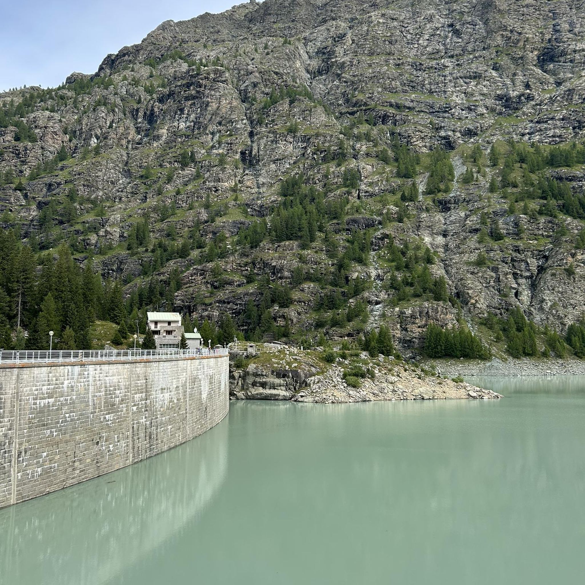
The second-largest water body in Massachusetts, the Wachusett Reservoir is as beautiful as it is huge. It can hold a whopping 65 billion US gallons of water. The Quinapoxet and Stillwater rivers and the Quabbin Aqueduct feed into the reservoir. Bear in mind that camping and swimming isn't allowed in some places around the reservoir.
0
0

This trail is part of a planned 104 mile path from Boston to Northampton. It is laid over an old rail bed that was destroyed during a hurricane in 1938. This section is mostly hard packed crushed stone that is great for biking, running and walking. There are some short segments of grassy double track.
0
0
The Mass Central Rail Trail totals just over 100 miles on its way from Boston to Northampton. There are sections where the route utilizes roadways and sidewalks to connect segments of the trail, but the maintained sections are mostly smooth dirt and crushed gravel. This is a really popular trail for running, biking, and walking.
1
0
This section of the Mass Central Rail Trail passes under the interstate bridge built to cross the Quinapoxet River. There is some greenery surrounding the path, and it looks up towards the bridge way above.
0
0

The area is meticulously maintained and showcases a stunning array of flowers. There is an entrance fee to access the garden, and certain sections of the park are designated for walking the trails to fully appreciate and respect its beauty.
2
0
This trail is part of a planned 104 mile path from Boston to Northampton. It is laid over the an old railbed that was destroyed during a hurricane in 1938. This section is hardpacked crushed stone that is great for biking and walking.
1
0
The second largest water body in Massachusetts, the Wachusett Reservoir is as beautiful as it is huge. It can hold a whopping 65 billion US gallons of water. The Quinapoxet and Stillwater rivers and the Quabbin Aqueduct feed into the reservoir. Bear in mind that camping and swimming isn't allowed in some places around the reservoir.
0
0
Frequently Asked Questions
How many running routes are available in South Lancaster?
South Lancaster offers nearly 10 dedicated running routes. These paths cater to various preferences, from easy loops to more challenging trails with elevation changes.
What types of terrain can I expect on jogging trails in South Lancaster?
The region provides a diverse range of terrains. You'll find relatively flat, forgiving surfaces along old railroad beds like portions of the Enola Low Grade Trail and the Northwest Lancaster County River Trail. Other areas, such as Susquehannock State Park and Tucquan Glen Nature Preserve, offer more challenging, uneven terrain with hills, rocks, and roots, ideal for trail running.
Are there any easy running routes suitable for beginners or a relaxed jog?
Yes, South Lancaster has easy routes perfect for beginners or a gentle run. A great option is the New England Botanic Garden Loop Trail, which is 1.1 miles long and offers a pleasant, gentle path through cultivated gardens.
Where can I find scenic viewpoints or natural features along the running paths?
Many routes offer beautiful scenery. The Susquehanna River is a major highlight, with trails like the Turkey Hill Overlook Trail providing stunning river views. You can also find panoramic vistas at the View of Carville Basin or the Prospect Hill Road and the Fruitlands Museum. For a challenging run with rewarding views, consider the Mount Pisgah Summit – Warren S. Oberg Overlook loop.
Are there any running routes that pass by water features like lakes or waterfalls?
Yes, you can enjoy water features on your runs. The Wachusett Reservoir – Mass Central Rail Trail loop offers views of the beautiful Wachusett Reservoir. Additionally, natural areas like Theodore A. Parker III County Park and Tucquan Glen Nature Preserve are known for their streams and cascading waterfalls, providing a refreshing element to your run.
What do other runners say about the jogging routes in South Lancaster?
The running routes in South Lancaster are highly regarded by the komoot community, with an average rating of 5.0 stars. Runners often praise the varied terrain, from gentle garden paths to challenging hill climbs, and the scenic beauty of the region's farmlands, woodlands, and river views.
Are there any longer running routes for endurance training?
For longer runs, you can explore routes like the Mount Pisgah Summit – Warren S. Oberg Overlook loop, which covers approximately 7.2 miles (11.6 km) and includes significant elevation changes. The Enola Low Grade Trail and Conestoga Trail also offer extensive mileage for ambitious runners.
Can I find running routes through forested areas or nature preserves?
Absolutely. South Lancaster is rich in forested areas and nature preserves. The Lancaster State Forest – Cook Conservation Area loop takes you through woodlands. Other notable areas include Susquehannock State Park, Tucquan Glen Nature Preserve, and the Mount Pisgah Wildlife Management Area, all offering trails through dense forests.
Are there any circular running routes in the area?
Yes, many of the routes in South Lancaster are designed as loops, offering a convenient circular experience. Examples include the New England Botanic Garden Loop Trail, the Wachusett Reservoir – Mass Central Rail Trail loop, and the Hill Land loop from Drs Amin and Nahid Rathore Conservation Restriction.
What are some unique cultural sights I might encounter while running in South Lancaster?
Running through South Lancaster offers a chance to experience the unique cultural landscape of Pennsylvania Amish farmlands. You might encounter charming and historic PA Dutch covered bridges, adding a distinctive element to your run through the countryside.
Are there any running routes suitable for families with children?
For families, the easier, flatter routes are generally best. The New England Botanic Garden Loop Trail is an excellent choice, offering a short, gentle path through a pleasant environment that is manageable for younger runners.
What is the best time of year to go running in South Lancaster?
South Lancaster offers enjoyable running experiences throughout the year. Spring and fall provide pleasant temperatures and vibrant scenery, with blooming flowers or colorful foliage. Summer mornings and evenings are ideal to avoid the heat, while winter running can be beautiful, especially on well-maintained trails, though conditions may vary.
Most popular routes around South Lancaster
Most popular attractions around South Lancaster

Get inspired with the komoot mobile app


Explore more
Browse the best Running Trails & Routes in other regions.
