The best walks and hikes around Ocean Bluff-Brant Rock
3.5
(2)
39
hikers
14
hikes
Hiking around Ocean Bluff-Brant Rock offers a compelling blend of coastal and inland natural environments. The region features a dynamic coastline with sandy beaches and rocky outcroppings along Massachusetts Bay. Inland, hikers can explore extensive salt marshes, estuaries, and woodlands, contributing to a diverse ecological landscape. This varied terrain provides options for different ability levels, from easy strolls to more moderate trails.
Best hiking trails in Ocean Bluff-Brant Rock
- The most popular hiking route is Pond Loop Trail, a…
Last updated: August 22, 2026
4.0
(1)
9
hikers
4.77km
01:15
30m
40m
Easy hike. Great for any fitness level. Easily-accessible paths. Suitable for all skill levels.
4
hikers
2.96km
00:45
0m
0m
Easy hike. Great for any fitness level. Easily-accessible paths. Suitable for all skill levels.

Sign up for free
3.0
(1)
4
hikers
3.96km
01:02
20m
20m
Easy hike. Great for any fitness level. Easily-accessible paths. Suitable for all skill levels.
1
hikers
4.21km
01:06
30m
30m
Easy hike. Great for any fitness level. Easily-accessible paths. Suitable for all skill levels.
1
hikers
2.39km
00:37
10m
10m
Easy hike. Great for any fitness level. Easily-accessible paths. Suitable for all skill levels.
Get access to more routes and recommendations from other explorers.
Sign up for free
Already have an account?
Our route recommendations are based on thousands of hikes, rides, and runs completed by other people on komoot.
Start today with a free account
Your next adventure awaits.
Login or Signup
Tips from the Community

North Hill Marsh Pond is a 38-acre body of water in Duxbury. The pond is surrounded by a wildlife sanctuary, so the pond is a popular place for birdwatchers. There is also a trail that encircles the pond, which is used by walkers and mountain bikers.
0
0

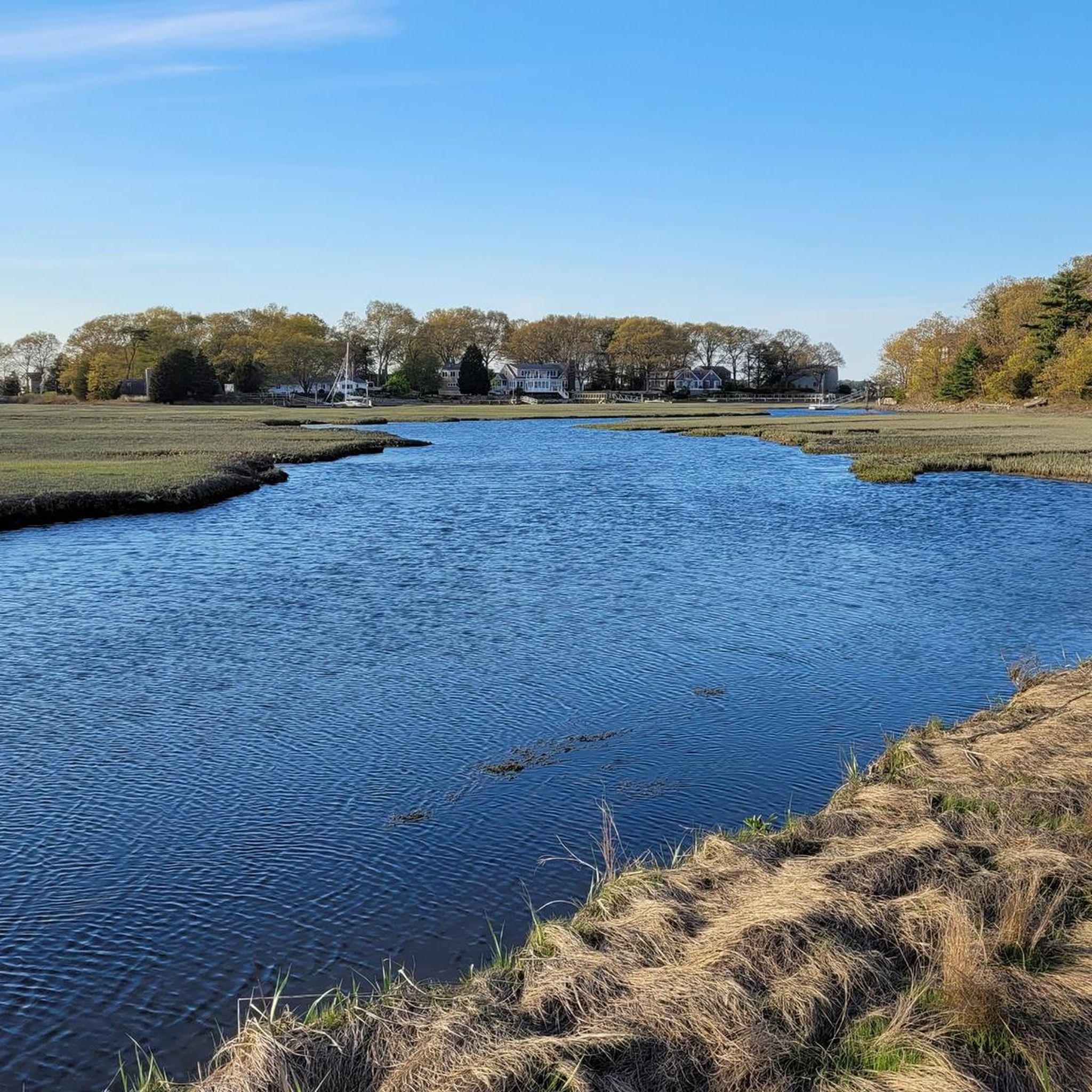
The Herring River has its source in the town of Scituate. The stream flows through the First Herring Brook Reservoir and downstream to the Old Oaken Bucket Pond, passing two dams. The Herring River flows into the North River at The Spit just before it empties into the Atlantic Ocean. https://www.nsrwa.org/listing/herring-river-trail/
2
0
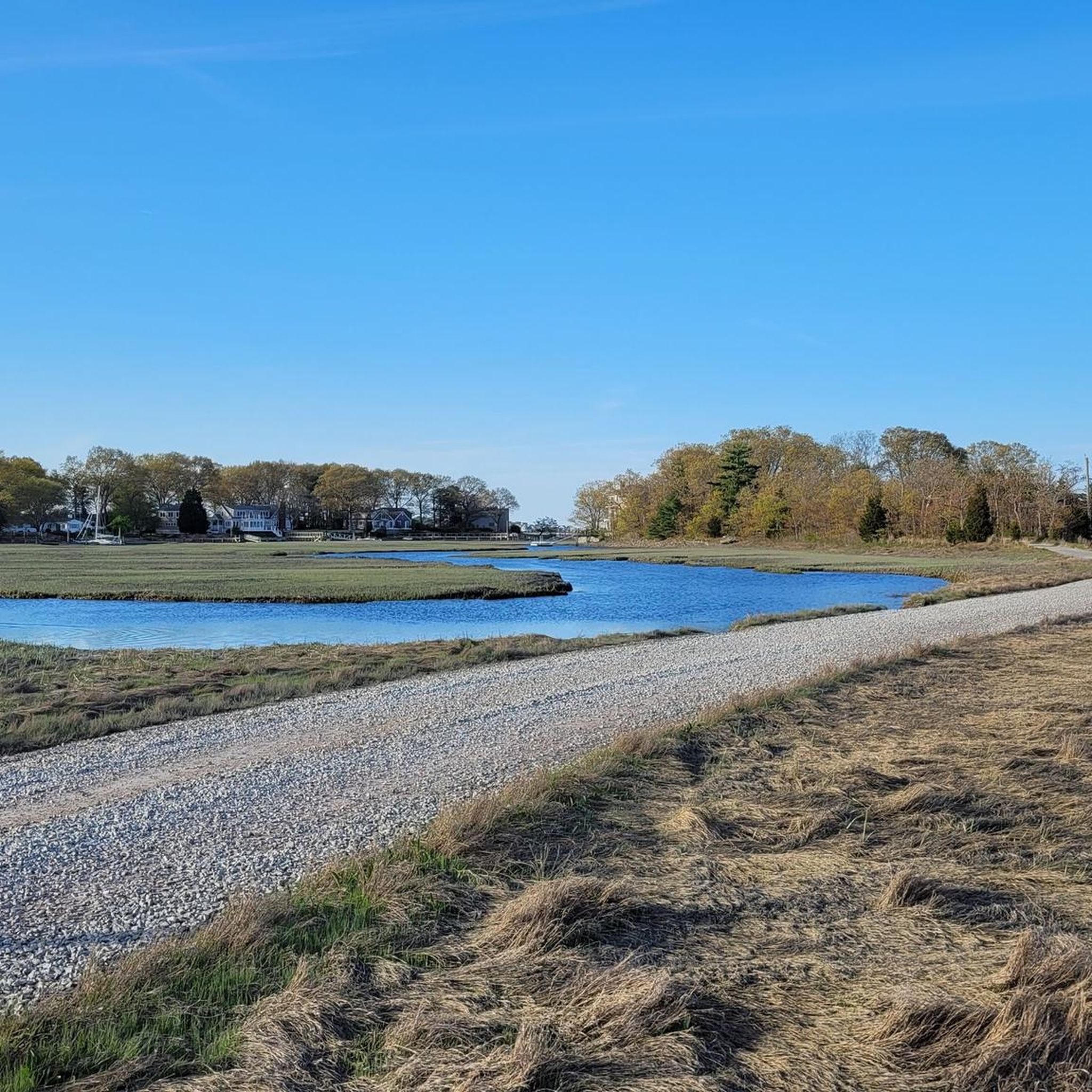
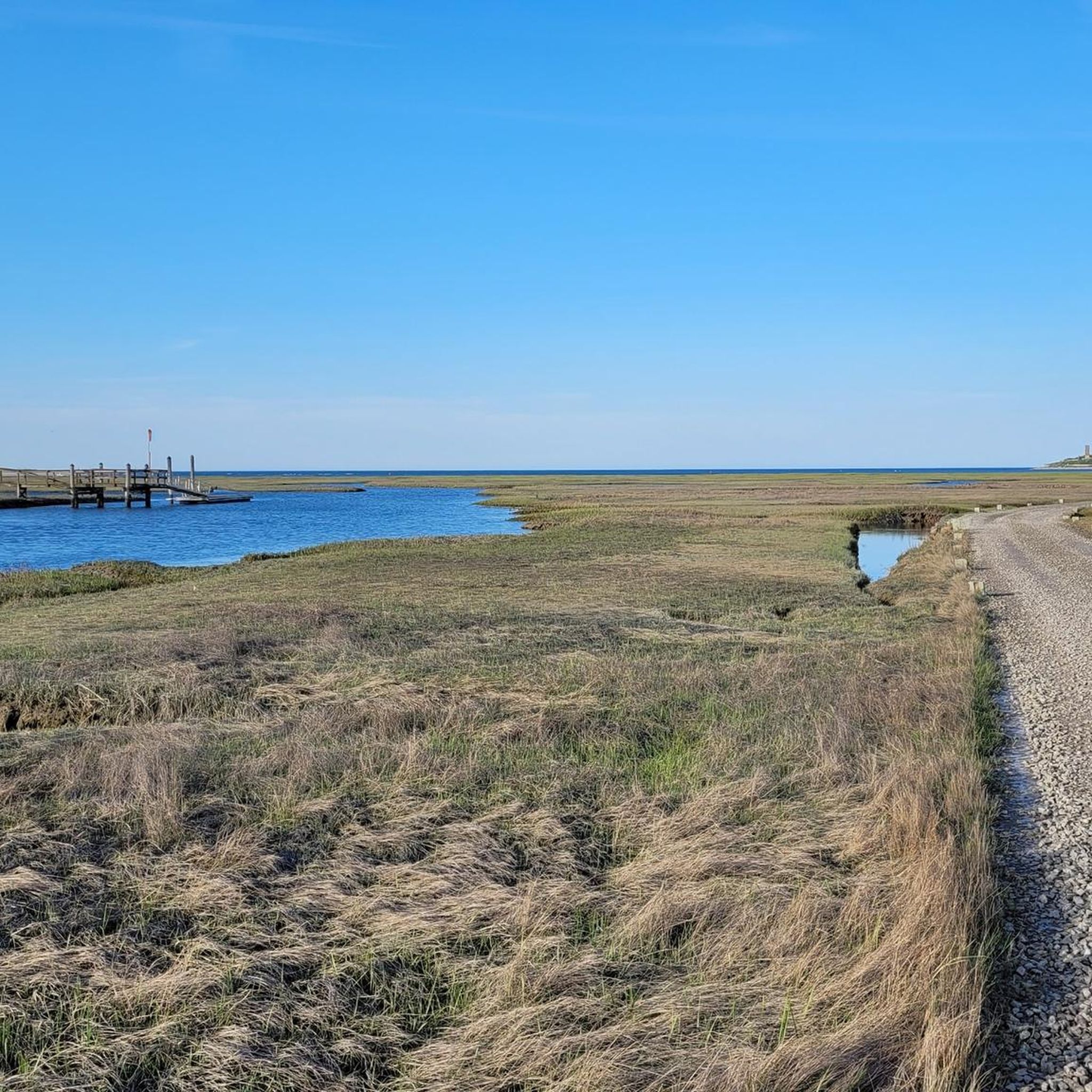
Driftway Conservation Park is a 135-hectare conservation area overlooking the Herring River and its salt marshes. In the 1930s, Boston Sand and Gravel owned the property and mined the 12-meter-high glacial moraines from the last ice age for projects such as the construction of Boston's Logan International Airport. You can still see remnants of the wharf that was built to facilitate the transport of sand by barge to Boston. https://www.nsrwa.org/listing/driftway-conservation-park/
2
0

Powder Point Bridge is an intriguingly long wooden bridge. If you happen to cross it at the same time as a car, the sound of the wooden boards rattling with the weight of the vehicle is something to behold. Fear not, it will hold the weight of all of you and has done since 1986 when the bridge was rebuilt following a fire. The previous structure was built in 1892.
0
0
This is a beautiful beach of soft sand, close to both Duxbury and Marshville. Some say it is one of the best beaches in all of Massachusetts. It is a particularly lovely place to catch the sunset. Golden hour on the beach is something very special.
0
0
Frequently Asked Questions
How many hiking trails are available around Ocean Bluff-Brant Rock?
There are 6 hiking routes documented on komoot for the Ocean Bluff-Brant Rock area. These include a mix of easy and moderate trails, offering diverse experiences from coastal paths to inland conservation areas.
What kind of terrain can I expect on hikes in Ocean Bluff-Brant Rock?
The region offers a varied landscape. You can expect coastal paths, sandy stretches near beaches, rocky outcroppings, and trails winding through salt marshes, estuaries, and woodlands. Some trails, like those in the North Hill Marsh loop from North Hill Marsh Pond, will take you through marshy areas, while others provide views of the Massachusetts Bay.
Are there any easy trails suitable for beginners or casual walkers?
Yes, there are several easy trails. For instance, the Waiting Hill loop from Duxbury is an easy 3.0-mile route that takes about 1 hour 15 minutes. Another easy option is the Powder Point Bridge – Powder Point Bridge loop from Long Island, which is about 3 miles long.
Are there trails with ocean views or coastal access?
Absolutely. The region is known for its stunning coastline. While specific hiking trails directly on Brant Rock Beach are limited, the broader area offers coastal experiences. The Scituate Lighthouse loop from Scituate is a moderate trail providing scenic coastal views. You can also explore the Third Cliff Boardwalk for charming New England seaside walks and access to secluded beaches.
Can I bring my dog on the hiking trails?
Many conservation lands in the Marshfield area, which includes Ocean Bluff-Brant Rock, are generally dog-friendly. However, it's always best to check specific regulations for each trail or conservation area, as rules can vary regarding leashes and waste disposal. For example, the North River Wildlife Sanctuary has specific guidelines for visitors.
Are there family-friendly hiking options in the area?
Yes, the area offers several family-friendly options, especially the easier trails. The Waiting Hill loop from Duxbury is an easy route suitable for families. Additionally, many of the conservation lands like Furnace Brook or parts of the North River Wildlife Sanctuary offer relatively flat and accessible paths that are great for all ages.
Are there any circular routes available for hiking?
Yes, several routes in the area are circular, allowing you to start and end at the same point. Examples include the Waiting Hill loop from Duxbury, the Scituate Lighthouse loop from Scituate, and the Abrams Hill – Powder Point Bridge loop from Duxbury.
What are some notable natural features or attractions to see along the trails?
The region is rich in natural beauty and historical sites. You can explore the rocky outcroppings at Brant Rock, observe coastal ecosystems in salt marshes like those near Old Pier at Driftway Conservation Park, or walk through diverse woodlands. The Scituate Light is a prominent landmark, and the Third Cliff Boardwalk offers charming seaside views.
What do other hikers enjoy most about hiking in Ocean Bluff-Brant Rock?
The trails around Ocean Bluff-Brant Rock are highly rated by the komoot community, with an average score of 4.5 stars. Hikers often praise the diverse coastal landscapes, the peaceful atmosphere of the inland conservation areas, and the variety of terrain that caters to different skill levels.
When is the best time of year to hike in Ocean Bluff-Brant Rock?
The spring, summer, and fall months generally offer pleasant conditions for hiking. Spring brings blooming flora, summer allows for beach access and warmer weather, and fall showcases vibrant foliage in the woodlands. Winter hiking is possible, but coastal trails can be exposed to cold winds, and some inland paths might be muddy or icy.
Are there options for longer or more challenging hikes?
While most routes are easy to moderate, you can combine trails within larger conservation areas like Carolina Hill or the North River Wildlife Sanctuary to create longer excursions. The Scituate Lighthouse loop from Scituate is a moderate 5.5-mile path, and the Abrams Hill – Powder Point Bridge loop from Duxbury is a moderate 4.9-mile trail, offering more extended options.
Is parking available at trailheads?
Yes, parking is generally available at the trailheads and conservation areas throughout Marshfield. Specific parking details can often be found on local conservation land websites or within komoot tour descriptions. It's advisable to check for any parking fees or restrictions, especially during peak seasons at popular coastal spots.
Most popular attractions around Ocean Bluff-Brant Rock

Get inspired with the komoot mobile app


Explore more
Browse the best Hikes in other regions.
