The best walks and hikes around North Scituate
4.8
(30)
256
hikers
63
hikes
Hiking around North Scituate, Massachusetts, offers diverse outdoor experiences within its coastal environment and extensive conservation lands. The region features woodlands, nature trails, and marshland, providing scenic views including those of Scituate Harbor. Trails wind through areas with gentle streams and varied terrain, suitable for different fitness levels. The landscape is characterized by its natural preserves and proximity to the ocean.
Best hiking trails around North Scituate
- The most popular hiking route is Whitney & Thayer Woods loop via Boulder…
Last updated: May 17, 2026
3
hikers
9.61km
02:30
70m
70m
Hike the 6.0-mile Mount Blue Spring Trail in Wompatuck State Park to discover a natural spring and peaceful woodlands.
1
hikers
2.39km
00:37
10m
10m
Embark on an easy hike along the A. J. McEachern Memorial Trail, a 1.5-mile (2.4 km) route that offers a gentle ascent of just 18 feet (6 metres). You can…

Sign up for free
1
hikers
3.94km
01:02
30m
30m
Hike the easy 2.4-mile Maxwell Trail and Carl Pipes Trail Loop in Scituate, Massachusetts, featuring varied terrain, glacial erratics, and T
12.1km
03:08
70m
70m
Hike the moderate 7.5-mile Doane Street Trail Loop in Wompatuck State Park, featuring woodland scenery and views of Aaron River Reservoir.
6.51km
01:42
40m
40m
Hike the easy 4.0-mile Aaron River Reservoir and Heron Pond Loop in Wompatuck State Park, featuring reservoir views and wooded paths.
Get access to more routes and recommendations from other explorers.
Sign up for free
Already have an account?
Our route recommendations are based on thousands of hikes, rides, and runs completed by other people on komoot.
Start today with a free account
Your next adventure awaits.
Login or Signup
Tips from the Community

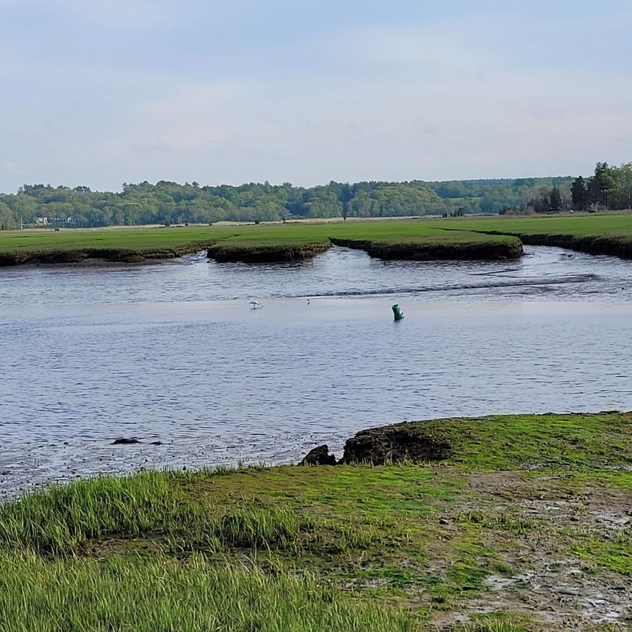
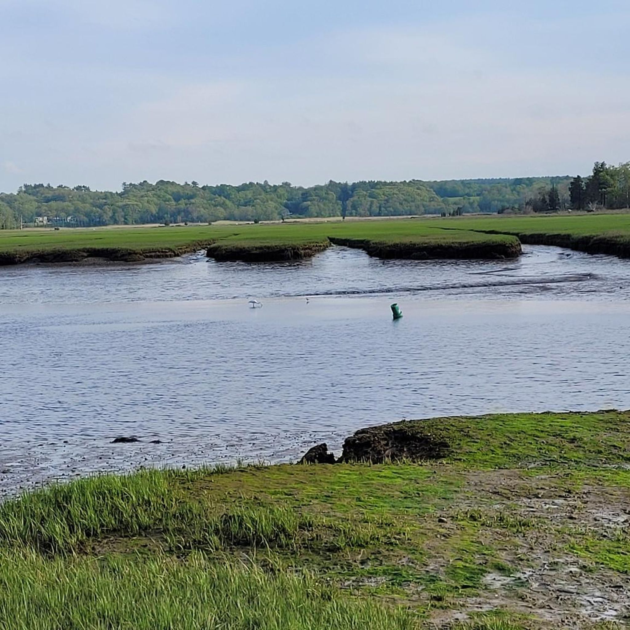
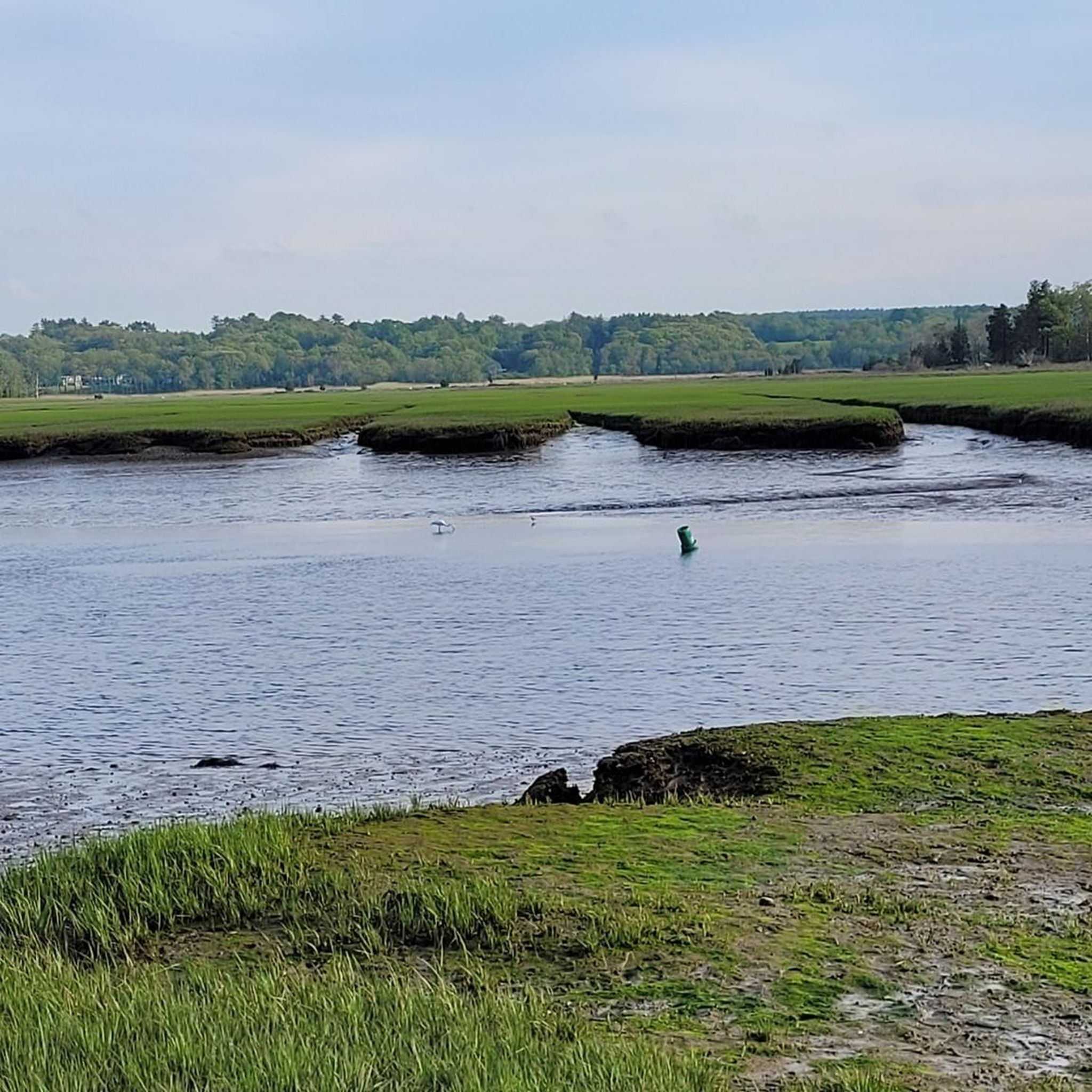
The Herring River has its source in the town of Scituate. The stream flows through the First Herring Brook Reservoir and downstream to the Old Oaken Bucket Pond, passing two dams. The Herring River flows into the North River at The Spit just before it empties into the Atlantic Ocean. https://www.nsrwa.org/listing/herring-river-trail/
2
0
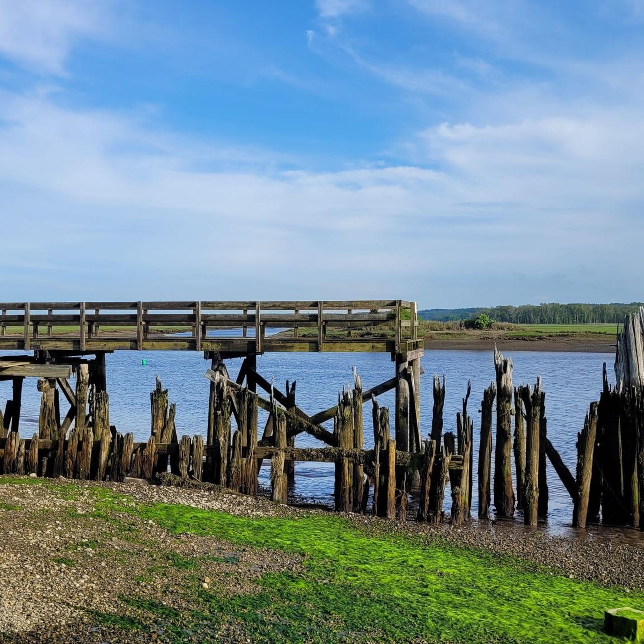
Driftway Conservation Park is a 135-hectare conservation area overlooking the Herring River and its salt marshes. In the 1930s, Boston Sand and Gravel owned the property and mined the 12-meter-high glacial moraines from the last ice age for projects such as the construction of Boston's Logan International Airport. You can still see remnants of the wharf that was built to facilitate the transport of sand by barge to Boston. https://www.nsrwa.org/listing/driftway-conservation-park/
2
0

Holly Pond is a tiny reservoir just off the side of the main trail. It's fed by the Aaron River and is surrounded by wetlands.
0
0

The Aaron River Reservoir is a stunning location, surrounded by picturesque trails. During the summer months, Adirondack chairs are placed along the pathways, providing a perfect spot to take a break. The area is ideal for running, hiking, and fishing. On the other side of the dam, you will find a picnic table perched on top of a large boulder, which makes it a fantastic spot to enjoy a lovely lunch.
0
0
Holly Pond is a tiny reservoir just off the side of the main trail. It's fed by the Aaron River and is surrounded by wetlands.
0
0

Wompatuck State Park is a little paradise for outdoor lovers. The mountain bike trail network is extremely varied. Beginners and intermediate riders have plenty of trail options. If you plan an extended stay, you can reserve a campsite within the park here: reserveamerica.com/explore/wompatuck-state-park/MA/32628/overview
0
0
Wompatuck State Park is a little paradise for outdoor lovers. The mountainbike trail network is extremely varied. Beginners and intermediate riders have plenty of trail options. If you plan an extended stay, you can reserve a camp site within the park here: https://www.reserveamerica.com/explore/wompatuck-state-park/MA/32628/overview
0
0
Frequently Asked Questions
How many hiking trails are available in North Scituate?
North Scituate offers a wide variety of hiking experiences, with over 40 routes available for exploration. These trails cater to different preferences, ranging from easy strolls to more moderate hikes.
What kind of terrain can I expect on North Scituate's hiking trails?
The terrain in North Scituate is quite diverse, characterized by picturesque coastal environments, extensive conservation lands, woodlands, and marsh areas. You'll find trails winding through natural preserves, offering scenic views including those of Scituate Harbor. Some areas, like Wompatuck State Park, feature varied terrain with accessible sections, while others like Whitney & Thayer Woods offer easy paths through woodlands.
Are there any easy or family-friendly hiking options in North Scituate?
Yes, North Scituate is well-suited for families and those seeking easier walks. Over 30 of the available routes are rated as easy. For example, the Whitney & Thayer Woods loop via Boulder Lane is an easy 6.0 km trail with accessible sections. Another great option is the 5.15 km loop in Whitney & Thayer Woods from Cohasset, also considered easy and suitable for any fitness level.
What are some notable landmarks or natural features to see while hiking in North Scituate?
North Scituate boasts several interesting landmarks and natural features. You can explore Wompatuck State Park, known for its extensive trails. The Scituate Light offers historic charm, and the "Sand Hills" area provides ocean views. Additionally, the Widow's Walk Golf Course, which doubles as a scenic walking area in winter, features a Signature Hole with spectacular views of the ocean, Herring River, and the mouth of the North River.
Are North Scituate's hiking trails dog-friendly?
Many of North Scituate's conservation lands and parks, including areas like Whitney & Thayer Woods and Wompatuck State Park, generally welcome dogs, often requiring them to be on a leash. It's always best to check specific park regulations or signage at the trailhead for the most current rules regarding pets.
Are there any circular hiking routes in North Scituate?
Yes, several circular routes are available, perfect for a varied hiking experience. A popular choice is the Whitney & Thayer Woods loop via Boulder Lane. Another option is the Gordon Pond loop from Norwell, which leads through natural areas. The Turkey Hill – Whitney & Thayer Woods loop from Weir River Farm also provides a scenic circular path.
What is the best time of year to hike in North Scituate?
North Scituate offers enjoyable hiking throughout much of the year. Spring brings active wildlife and blooming nature, especially in areas with streams and wooded trails. Fall provides beautiful foliage. Even in winter, from late December to March 1, places like Widow's Walk Golf Course open for scenic walking. The coastal environment means conditions can vary, so checking local weather is always recommended.
Where can I find parking for hiking trails in North Scituate?
Parking is generally available at various access points for conservation lands and parks. For instance, North Scituate Beach offers public parking. For specific trailheads like those in Whitney & Thayer Woods or Wompatuck State Park, designated parking areas are usually provided. It's advisable to check maps or local park information for precise parking locations before your visit.
What do other hikers enjoy most about hiking in North Scituate?
The hiking experiences in North Scituate are highly rated by the komoot community, with an average score of 4.9 stars from over 30 reviews. Hikers often praise the diverse terrain, from coastal views to peaceful woodlands, and the accessibility of many trails. The well-maintained paths and the natural beauty of the conservation areas are frequently highlighted.
Are there any trails suitable for winter hiking in North Scituate?
Yes, North Scituate offers options for winter hiking. From late December to March 1, the Widow's Walk Golf Course transforms into a scenic walking area, providing unique winter views. Many of the conservation lands and wooded trails, such as those in Whitney & Thayer Woods, can also be enjoyed in winter, offering a tranquil experience amidst the snow-covered landscape.
Are there any trails that offer ocean views?
Absolutely. The coastal nature of North Scituate means several areas provide stunning ocean views. The "Sand Hills" area near the lighthouse offers glimpses of the water. Additionally, the Signature Hole at Widow's Walk Golf Course provides spectacular views of the ocean, Herring River, and the mouth of the North River. You can also find scenic vistas overlooking Scituate Harbor in various marshland and nature trail areas.
What are the options for longer, more challenging hikes in the area?
While many trails are easy, North Scituate also offers moderate options for those seeking a longer challenge. The Wompatuck Loop (Short) – Wompatuck State Park is a moderate 12.9 km path. Another moderate route is the Doane Street – Aaron River Reservoir loop from Water District Land, covering about 9.5 km.
Most popular attractions around North Scituate

Get inspired with the komoot mobile app


Explore more
Browse the best Hikes in other regions.
