The best road cycling routes around Fiskdale
15
riders
5
rides
Road cycling routes around Fiskdale navigate a landscape characterized by rolling hills and natural areas, including wildlife management zones. The region features a mix of paved roads that traverse varied terrain, offering both gentle ascents and more sustained climbs. Road cyclists can expect to encounter a rural setting with opportunities to explore different elevations.
Best road cycling routes around Fiskdale
- The most popular road cycling route is Mitchell Hill loop from Quacumquasit Wildlife Management Area, a 23.9 miles (38.5…
Last updated: June 4, 2026
4.0
(1)
5
riders
38.2km
01:48
360m
360m
Moderate road ride. Good fitness required. Mostly well-paved surfaces and easy to ride.
2
riders
44.1km
02:03
470m
470m
Moderate road ride. Good fitness required. Mostly well-paved surfaces and easy to ride.

Sign up for free
3
riders
46.0km
02:06
450m
450m
Moderate road ride. Good fitness required. Mostly well-paved surfaces and easy to ride.
3
riders
28.1km
01:19
270m
270m
Easy road ride. Great for any fitness level. Mostly well-paved surfaces and easy to ride.
3
riders
80.0km
03:44
810m
810m
Moderate road ride. Good fitness required. Mostly well-paved surfaces and easy to ride.
Our route recommendations are based on thousands of hikes, rides, and runs completed by other people on komoot.
Start today with a free account
Your next adventure awaits.
Login or Signup
Popular around Fiskdale
Tips from the Community

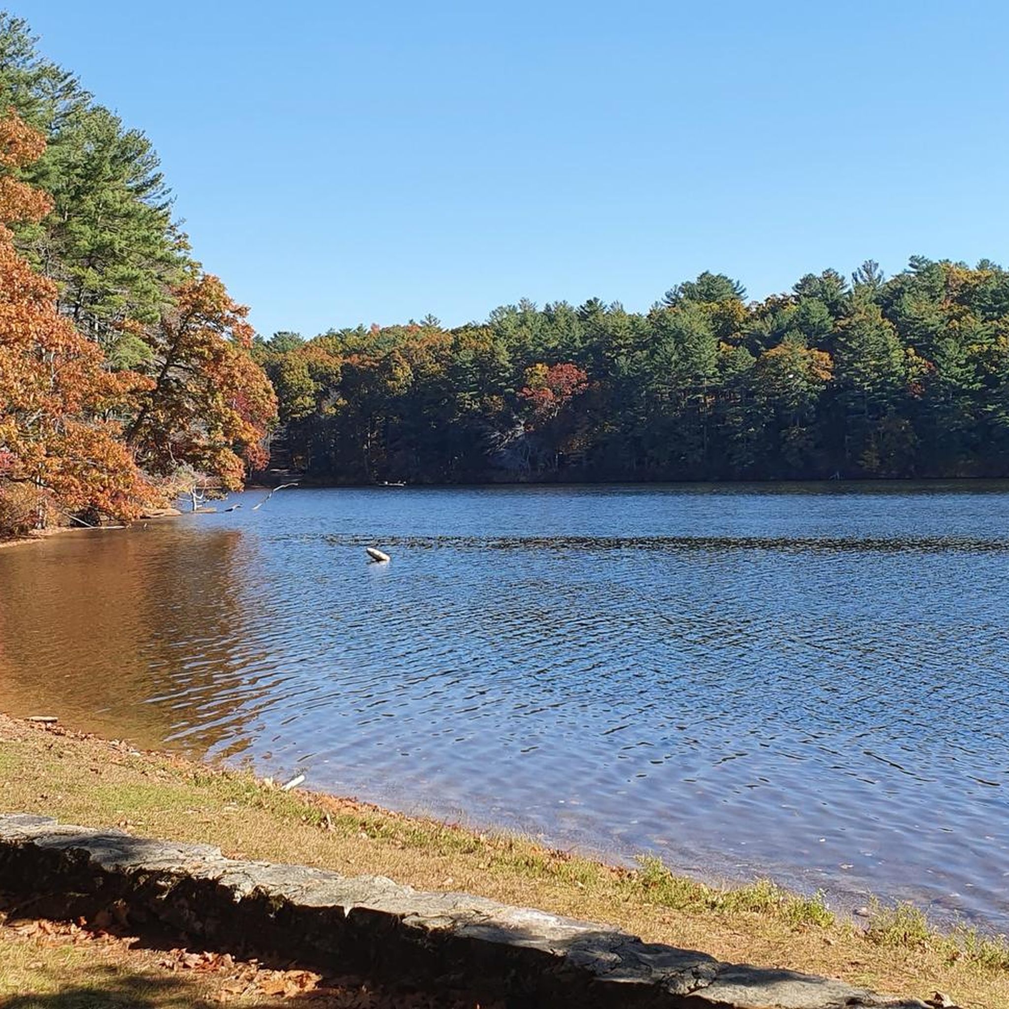
Woodstock Avenue Open Space and Sabin Street Open Space are next to each other, just separated by Little River. Ride past these tracts of green space in the fall and enjoy the trees changing color.
0
0
Frequently Asked Questions
What kind of terrain can I expect on road cycling routes around Fiskdale?
Road cycling routes in Fiskdale feature a landscape of rolling hills and natural areas, including wildlife management zones. You'll encounter a mix of paved roads with varied terrain, offering both gentle ascents and more sustained climbs through a rural setting.
Are there any easy road cycling routes suitable for beginners in Fiskdale?
Yes, Fiskdale offers options for different ability levels. An easy route suitable for beginners is the Gage Hill loop from Southbridge, which is 17.5 miles (28.1 km) long with rolling hills.
What are some longer distance road cycling routes available in Fiskdale?
For longer rides, consider the Dennison Hill – Gage Hill loop from Grand Trunk Trail, which spans 51.9 miles (83.5 km) and includes significant elevation gain. Another option is the Dennison Hill – Gage Hill loop from Southbridge, covering 29.9 miles (48.0 km).
Are there challenging road cycling routes for experienced cyclists in Fiskdale?
While there are no routes explicitly graded as 'difficult' in the immediate selection, several moderate routes offer significant elevation gain and distance for a good challenge. The Dennison Hill – Gage Hill loop from Grand Trunk Trail, at 51.9 miles with 886 meters of ascent, provides a substantial workout.
Are the road cycling routes around Fiskdale mostly loop trails?
Yes, many of the popular road cycling routes in Fiskdale are designed as loops, allowing you to start and end at the same point. Examples include the Mitchell Hill loop from Quacumquasit Wildlife Management Area and the Gage Hill loop from Southbridge.
What is the best season for road biking in Fiskdale?
Fiskdale's road cycling routes are generally best enjoyed during the spring, summer, and fall months when the weather is milder and the scenery is vibrant. The rolling hills and natural areas are particularly beautiful during these seasons.
What are the typical winter conditions for road biking in Fiskdale?
Winter conditions in Fiskdale can include snow and ice, making road cycling challenging or unsafe on many routes. Paved roads may be cleared, but side roads and less-trafficked areas could remain icy. It's advisable to check local weather and road conditions before planning a winter ride.
Are there scenic views or points of interest along the road cycling routes?
The routes around Fiskdale traverse scenic natural settings, including wildlife management areas and rural landscapes. While specific viewpoints are not detailed, the region's characteristic rolling hills and natural beauty provide a pleasant backdrop for your ride.
What do other road cyclists enjoy most about road cycling in Fiskdale?
Road cyclists using komoot often appreciate the varied terrain and the opportunity to explore a rural setting with both gentle and sustained climbs. The presence of wildlife management areas also adds to the natural appeal of the routes.
How many road cycling routes are available in the Fiskdale area?
There are at least 5 road cycling routes detailed for the Fiskdale area, offering a range of distances and elevation profiles for different preferences.
Are there any routes that pass through or near the Quacumquasit Wildlife Management Area?
Yes, several routes originate from or pass through the vicinity of the Quacumquasit Wildlife Management Area. These include the Mitchell Hill loop from Quacumquasit Wildlife Management Area and the Mitchell Hill – Foster Hill loop from Quacumquasit Wildlife Management Area.
Most popular routes around Fiskdale

Get inspired with the komoot mobile app


Explore more
Browse the best Road cycling routes in other regions.
