The best road cycling routes around Pittsfield
5.0
(15)
428
riders
34
rides
Road cycling routes around Pittsfield traverse a varied landscape within the Berkshire Hills, offering a mix of terrains. The region is characterized by rolling hills, the presence of Onota Lake and Pontoosuc Lake, and the Housatonic River, providing scenic lakeside and riverside routes. Pittsfield State Forest contributes to the area's natural appeal with forested views and varied gradients. Dedicated infrastructure, including the Ashuwillticook Rail Trail, enhances the cycling experience.
Best road cycling routes around Pittsfield
- The most popular road cycling…
Last updated: September 27, 2026
5.0
(8)
129
riders
44.0km
01:47
200m
200m
The Ashuwillticook Rail Trail offers a delightful journey through the Hoosac River Valley, providing smooth, paved surfaces perfect for road cycling. You'll glide past the serene Cheshire Reservoir and the…
5.0
(6)
121
riders
If you're looking for a long, easy road cycling route with stunning views, the Cheshire Reservoir – Ashuwillticook Rail Trail Head loop delivers. This 28.8-mile (46.3 km) ride, with a…

5.0
(1)
25
riders
85.6km
03:48
680m
680m
Moderate road ride. Good fitness required. Some segments of this route may be unpaved and difficult to ride.
14
riders
58.9km
03:02
970m
970m
Hard road ride. Very good fitness required. Some segments of this route may be unpaved and difficult to ride.
11
riders
91.1km
04:39
1,460m
1,460m
Hard road ride. Very good fitness required. Mostly well-paved surfaces and easy to ride.
Get access to more routes and recommendations from other explorers.
Already have an account?
Our route recommendations are based on thousands of hikes, rides, and runs completed by other people on komoot.
Start today with a free account
Your next adventure awaits.

Tips from the Community

This is the most beautiful rail trail in Massachusetts hands down.
0
0

Converted from an old railroad track, the Ashuwillticook Rail Trail is now a 10 foot wide, 14.2 mile, paved multi use trail meandering along the Cheshire Reservoir while offering sublime views of Mt. Greylock.
0
0
Located just north of Adams, the Ashuwillticook Rail Trail Head sets a lovely tone for the rest of your ride along the trail, perfectly smooth and easy to use for families.
0
0


The Joseph Scelsi ITC exemplifies the journey of many train stations across the US. From grand historical structures to modern intermodal centers, they reflect the evolution of transportation needs and preferences. The seasonal "Berkshire Flyer" offers a glimpse into the past, reminding us of the charm and romance associated with train travel.
0
0

Here's the Trail Head of the Ashuwillticook Rail Trail. The trail is perfectly smooth and easy to use for families.
0
0

Cheshire Reservoir captivates riders with its tranquil beauty. The scenic reservoir, nestled in the Berkshires, offers stunning views along the route. Cyclists can enjoy a peaceful ride surrounded by nature, appreciating the serenity of Cheshire Reservoir as a highlight of their cycling experience.
0
0
Frequently Asked Questions
How many road cycling routes are available around Pittsfield?
Pittsfield offers a diverse network of over 30 road cycling routes. These routes cater to various skill levels, with 3 easy, 23 moderate, and 6 difficult options to explore.
Are there any easy road cycling routes suitable for beginners or families?
Yes, Pittsfield has several easy road cycling routes. A prime example is the Ashuwillticook Rail Trail, a paved, 14-mile (22.5 km) path that is largely flat and removed from vehicle traffic, making it ideal for a relaxed ride. Another easy option is the Cheshire Reservoir – Ashuwillticook Rail Trail Head loop from Western District HQ, which offers scenic views with minimal elevation gain.
What kind of terrain and elevation can I expect on road cycling routes in Pittsfield?
Road cycling routes in Pittsfield traverse a varied landscape within the Berkshire Hills. You'll find a mix of terrains, from the flat, paved surfaces of the Ashuwillticook Rail Trail to routes with significant elevation changes, including climbs up to 1,481 meters. The region is characterized by rolling hills, offering both challenging ascents and rewarding descents.
Are there any scenic viewpoints or natural features along the road cycling routes?
Absolutely. Many routes offer picturesque views of Onota Lake and Pontoosuc Lake, as well as sections along the Housatonic River. Pittsfield State Forest contributes forested views and varied gradients. For stunning vistas, consider routes that pass by Olivia's Overlook, which provides expansive views of the surrounding landscape.
Are there any circular road cycling routes in Pittsfield?
Yes, many routes are designed as loops, allowing you to start and end at the same point. For instance, the Cheshire Reservoir – Ashuwillticook Rail Trail Head loop from Pittsfield is a popular 53.2-mile (85.6 km) option that takes you through varied terrain and past the Cheshire Reservoir.
What are some challenging road cycling routes for experienced riders?
For experienced riders seeking a challenge, routes like the Mount Greylock – Trail start loop from Pittsfield offer significant elevation gains, with ascents reaching nearly 1,000 meters. Another demanding option is The Clark Art Institute – Mount Greylock loop from Pittsfield, which features over 1,450 meters of climbing.
What do other road cyclists say about the routes in Pittsfield?
The road cycling routes in Pittsfield are highly regarded by the komoot community, boasting an average rating of 5.0 stars from over 14 reviews. Cyclists often praise the diverse terrain, scenic lake views, and the dedicated Ashuwillticook Rail Trail for its safety and accessibility.
Are there any historical sites or cultural attractions accessible by road bike?
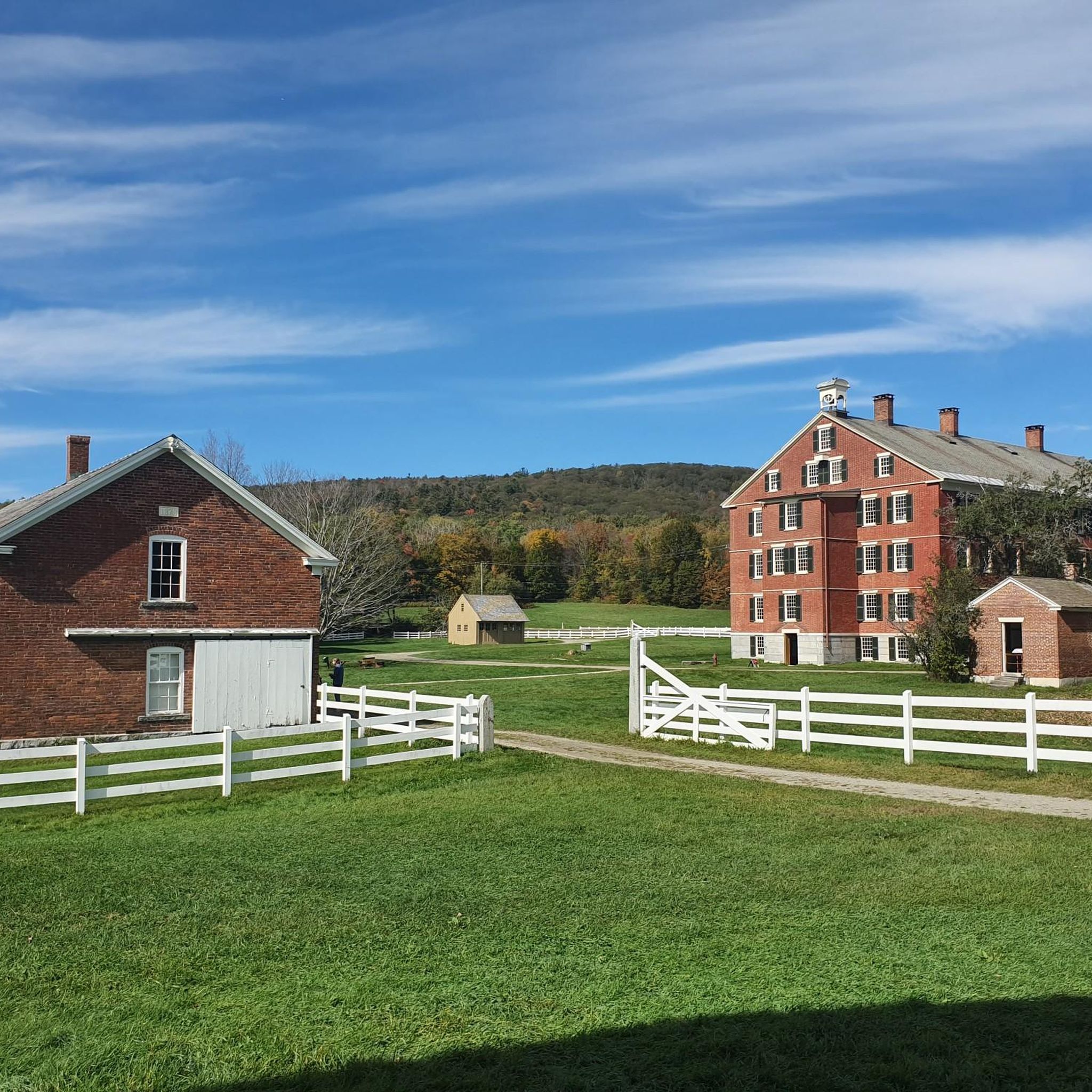
Yes, some routes can lead you near historical sites. For example, you might find routes that pass by or offer a detour to Hancock Shaker Village, a living history museum that offers a glimpse into Shaker life and architecture.
Where can I find parking for road cycling routes in Pittsfield?
The Ashuwillticook Rail Trail, a major cycling artery, has multiple access points with parking available in Pittsfield, Lanesborough, Cheshire, and Adams. Additionally, parks like Burbank Park at Onota Lake and Springside Park offer parking and access to cycling paths or trails.
What is the best time of year for road cycling in Pittsfield?
The warmer months, typically spring through fall, are ideal for road cycling in Pittsfield. During this time, the weather is generally pleasant, and the natural landscapes, including the lakes and forests, are at their most vibrant. The region's rolling hills and scenic vistas are particularly enjoyable under clear skies.
Are there any specific rail trails for road cycling in the area?
Yes, the Ashuwillticook Rail Trail is a prominent feature for road cyclists in Pittsfield. This 14-mile (22.5 km) paved trail offers a safe and scenic experience, connecting Pittsfield through several towns and providing a smooth ride away from vehicle traffic.
Can I incorporate sections of the U.S. Bicycle Route 7 into my ride?
Yes, the U.S. Bicycle Route 7 passes through the region. You can find sections like the U.S. Bicycle Route 7 — Cheshire Reservoir section, which can be integrated into longer rides, offering connections to other scenic areas and the Cheshire Reservoir.
Most popular attractions around Pittsfield

Get inspired with the komoot mobile app


Explore more
Browse the best Road cycling routes in other regions.
