The best road cycling routes around Malden
4.5
(404)
12,953
riders
328
rides
Road cycling around Malden, Massachusetts, features diverse terrain including extensive paved trail networks and natural landscapes. The region is characterized by river views, marshlands, and coastal scenery, particularly along the Northern Strand Community Trail. West of Malden, the Middlesex Fells Reservation offers rugged, granite-strewn woods and reservoirs, providing additional cycling options with varied elevation. The area also incorporates urban and suburban environments, with connections to broader cycling networks.
Best road cycling routes around Malden
- The most popular road cycling route is Saugus River Reservation – Lynn Beach loop from Oak Grove, a 34.8 miles (56.0 km) trail that takes 2 hours 18 minutes to complete. This moderate route connects riverine landscapes with coastal views towards Lynn Beach.
- Another top favourite among local road cyclists is Saugus River Reservation – Rumney Marsh Reservation loop from Oak Grove, an easy 24.6 miles (39.6 km) path. This route offers scenic views through river and marshland environments.
- Local road cyclists also love the Saugus River Reservation – Rumney Marsh Reservation loop from Malden High School, a 10.4 miles (16.7 km) trail leading through river and marsh areas, often completed in about 38 minutes.
- Road cycling around Malden is defined by river views, marshlands, and coastal scenery. The network offers options for easy and moderate ability levels, catering to various cycling preferences.
- The routes in Malden are highly rated by the komoot community with an average score of 4.4 stars from over 290 reviews. More than 8,700 road cyclists have used komoot to explore Malden's varied terrain.
Last updated: October 5, 2026
4.7
(9)
166
riders
46.8km
01:56
130m
130m
Easy road ride. Great for any fitness level. Mostly well-paved surfaces and easy to ride.
2
riders
63.3km
02:41
280m
280m
Moderate road ride. Good fitness required. Mostly well-paved surfaces and easy to ride.

14
riders
Easy road ride. Great for any fitness level. Mostly well-paved surfaces and easy to ride.
8
riders
85.8km
03:28
440m
440m
Moderate road ride. Good fitness required. Mostly well-paved surfaces and easy to ride.
4
riders
26.2km
01:08
140m
140m
Easy road ride. Great for any fitness level. Mostly well-paved surfaces and easy to ride.
Get access to more routes and recommendations from other explorers.
Already have an account?
Our route recommendations are based on thousands of hikes, rides, and runs completed by other people on komoot.
Start today with a free account
Your next adventure awaits.
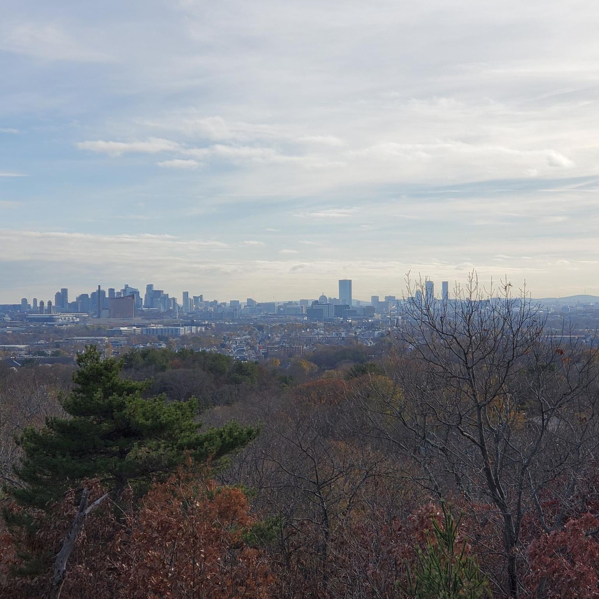

Tips from the Community

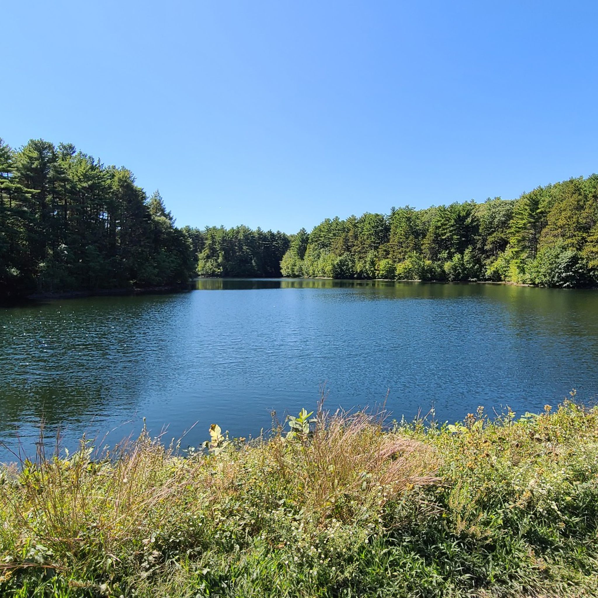
Lake Quannapowitt is a large, shallow lake at the north end of the town of Wakefield. It covers 254 acres and is about 3.6 miles around. This lake is emptied by the Saugus River.
0
0

This bridge is a fairly new structure, having been put in place in 2021. This crossing is crucial because the trail follows an old railroad line, and the bridge takes the place of the former train bridge.
0
0

There is no non-residential parking on the island. So, special treat for the bicyclists.
0
0


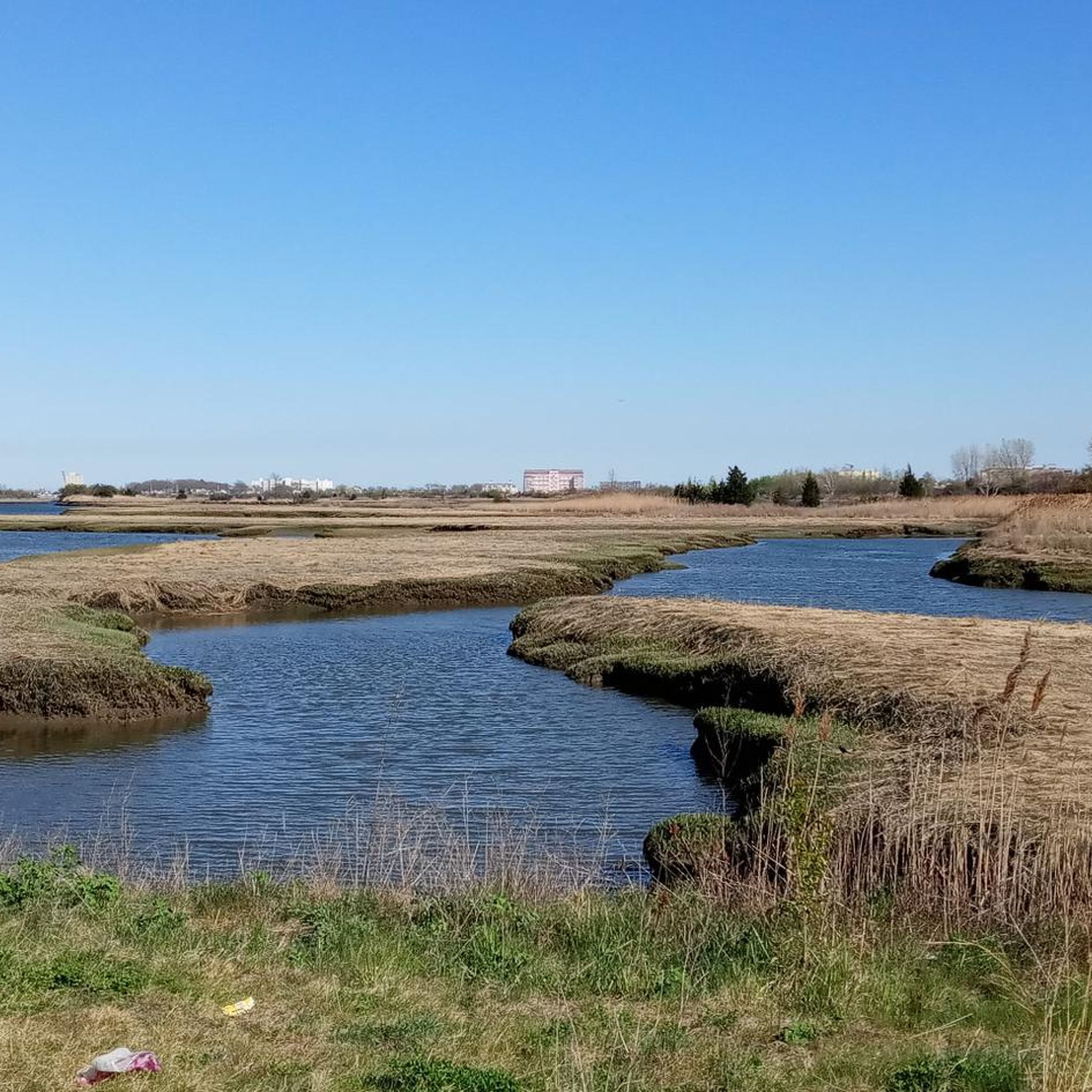
The Northern Strand Community Trail is a fully paved trail that runs from Everett through Lynn. This section takes you through Rumney Marsh Reservation and is mostly flat.
0
0
The Rumney Marsh Reservation is a 600 acres state park on the edge of Melrose. The Northern Strand Community Trail runs through the park.
0
0

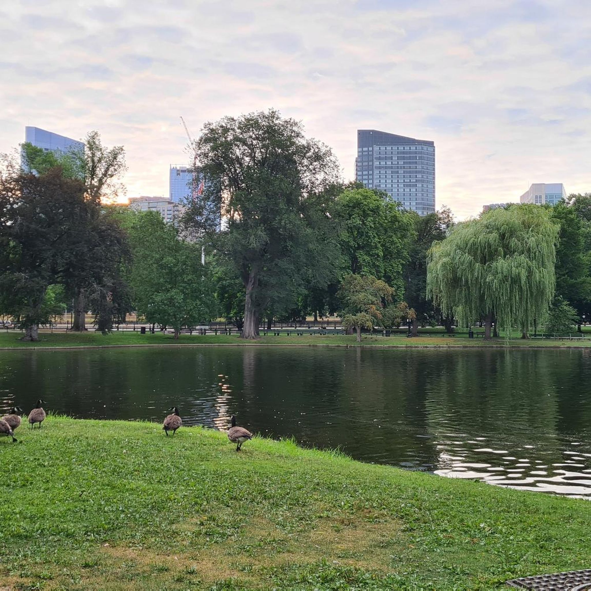
Nice surroundings, with grassy areas, ponds and a fountain, can work for a break while riding Endicott Drive.
1
0
Frequently Asked Questions
How many road cycling routes are available around Malden?
There are over 15 road cycling routes around Malden, offering a variety of experiences. These routes are highly rated by the komoot community, with an average score of 4.4 stars from over 300 reviews.
What kind of terrain can I expect on Malden's road cycling routes?
Malden's road cycling routes are primarily characterized by paved pathways, offering river views, marshlands, and a blend of urban and natural scenery. The Saugus River Reservation – Lynn Beach loop from Oak Grove, for instance, connects riverine landscapes with coastal views.
What is the Northern Strand Community Trail and how does it relate to road cycling in Malden?
The Northern Strand Community Trail, also known as the "Bike to the Sea Trail," is a central paved pathway stretching 9 to 10 miles through Malden, Revere, and Saugus. It's a primary artery for road cycling, offering diverse scenic experiences including river views and marshlands, and forms a key part of the region's cycling network.
Can I connect to longer trail networks from Malden?
Yes, the Northern Strand Community Trail is an integral part of the larger East Coast Greenway, an ambitious project connecting Calais, Maine, to Key West, Florida. This allows for significantly longer rides and broader exploration directly from Malden. You can also combine it with the Independence Greenway for a moderate 39.3-mile loop.
Are there road cycling routes suitable for families in Malden?
Many of Malden's paved trails, particularly sections of the Northern Strand Community Trail, are suitable for families due to their relatively flat profile and scenic, car-free environments. Routes like the Saugus River Reservation – Rumney Marsh Reservation loop from Malden High School offer an easy, shorter option.
What scenic views or landmarks can I expect along Malden's road cycling routes?
Along Malden's routes, you can enjoy river views, marshlands, and coastal scenery, especially towards Lynn and Nahant Beach. Notable natural attractions nearby include Rumney Marsh Reservation and the expansive Middlesex Fells Reservation bordering Malden. You might also encounter landmarks like the Boston Public Garden Footbridge or the Sand Sculptures at Revere Beach on longer rides.
Are there any loop road cycling routes in Malden?
Yes, Malden offers several loop road cycling routes. For example, the Saugus River Reservation – Rumney Marsh Reservation loop from Oak Grove is an easy 24.6-mile path, and the Border to Boston Trail - Trailhead – Saugus River Reservation loop from Oak Grove provides a moderate 30.7-mile option.
Where can I park when accessing road cycling routes in Malden?
Parking is available at various access points along the Northern Strand Community Trail and other local parks. Specific parking information for individual routes can often be found on their respective komoot tour pages.
How can I reach Malden's road cycling trails using public transport?
Malden is well-served by the MBTA (Massachusetts Bay Transportation Authority). Many trailheads, including access points to the Northern Strand Community Trail, are conveniently located near MBTA stations, making them accessible via public transport.
Are there places to eat or drink near the road cycling routes in Malden?
Yes, Malden's urban sections and nearby towns offer various cafes and restaurants close to the cycling routes. The Northern Strand Community Trail, in particular, passes through areas with amenities where you can stop for refreshments.
What do other road cyclists say about the routes in Malden?
The road cycling routes in Malden are highly rated by the komoot community, with an average score of 4.4 stars from over 300 reviews. Cyclists often praise the varied scenery, from river views to marshlands and coastal stretches, and the accessibility of the extensive trail network.
What is the best time of year for road cycling in Malden?
Spring through fall generally offers the best conditions for road cycling in Malden, with pleasant temperatures and vibrant scenery. While winter cycling is possible, conditions can be challenging due to snow and ice, so checking local weather is always recommended.
Are there options for different difficulty levels among Malden's road cycling routes?
Yes, Malden's road cycling network caters to various ability levels. You'll find a good mix of easy and moderate routes, with 7 easy and 9 moderate tours available, ensuring options for both casual riders and those seeking a more challenging experience.
Most popular attractions around Malden

Get inspired with the komoot mobile app


Explore more
Browse the best Road cycling routes in other regions.
