The best running trails around Sabillasville
16
runners
5
runs
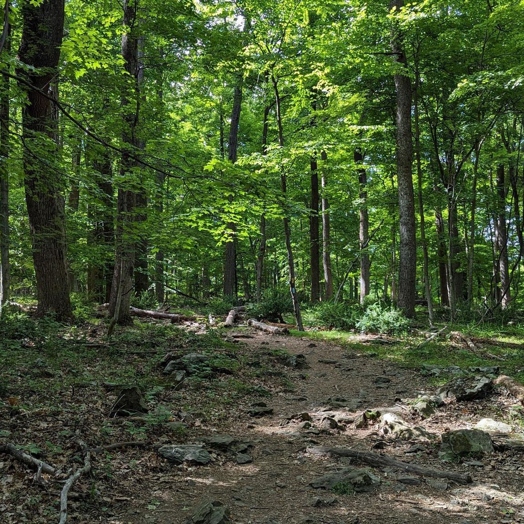
Jogging around Sabillasville offers access to diverse natural landscapes within a mountainous setting. The region is characterized by dense forests, varied elevations, and proximity to significant natural parks. Runners can find routes that wind through wooded terrain, past rocky outcroppings, and alongside natural water features. This environment provides a range of options for different fitness levels and preferences.
Best jogging routes around Sabillasville
- The most popular jogging route is Wolf Rock & Chimney Rock running loop, a 3.9 miles…
Last updated: May 25, 2026
7
runners
6.25km
00:52
230m
230m
Moderate run. Good fitness required. Mostly paved surfaces. Suitable for all skill levels.
1
runners
4.04km
00:31
100m
100m
Easy run. Great for any fitness level. Mostly paved surfaces. Suitable for all skill levels.

Sign up for free
1
runners
9.71km
01:21
330m
330m
Hard run. Very good fitness required. Mostly paved surfaces. Suitable for all skill levels.
5.33km
00:41
120m
120m
Moderate run. Good fitness required. Mostly paved surfaces. Suitable for all skill levels.
7
runners
33.7km
04:36
1,030m
1,030m
Hard run. Very good fitness required. Sure-footedness, sturdy shoes and alpine experience required.
Our route recommendations are based on thousands of hikes, rides, and runs completed by other people on komoot.
Start today with a free account
Your next adventure awaits.
Login or Signup
Popular around Sabillasville


Tips from the Community

High Rock is a park and overlook about an hour and a half outside of Baltimore and just off of the Appalachian Trail. There is a large graffitied rock (and surrounding rocks) with a great vantage point on the surrounding foothills. If you have the time, fill up a bag of trash because this local spot could use some love.
0
0

This is a tough but challenging section of the Appalachian Trail that climbs through beautiful forestry to High Rock lookout from Pen Mar.
0
0
This is a recreational park and garden near Emmitsburg in Maryland. There are a number of exciting walking/running trails varying from beginner to intermediate and a delightful lake frequented by fishers.
1
0
Rainbow Lake is a beautiful body of water situated inside the Emmitsburg Watershed. It features a network of enjoyable walking/running trails and is a popular spot for fishing.
1
0
Great views on offer of the whole Catoctin Mountain Park. Perfect place to catch your breath and sip on your water.
0
0
Wolf Rock is a lovely place to sit and catch your breath. The rock is in the shape of a wolf, hence the name, and is part of the Weverton Formation, deposited as sand 550 million years ago. The better views are slightly further down the path at Chimney Rock, but this is still worth a visit.
0
0
This is an enjoyable woodland trail with superb views on offer as you pass the Thurmont Vista Overlook. The trail can get rocky and rooty underfoot, so be mindful of your step.
0
0
Thurmont Vista is a lovely place to catch your breath and enjoy the view. The views stretch east across the Frederick Valley and towards the town of Thurmont.
1
0
Frequently Asked Questions
What types of running routes can I find around Sabillasville?
Sabillasville offers a diverse range of running routes, from easy loops to more challenging climbs. You'll find paths winding through dense woodlands, past rocky outcroppings, and with varied elevations, particularly within areas like Catoctin Mountain Park and Cunningham Falls State Park. The region's mountainous and forested environment provides options for all fitness levels.
How many jogging routes are available in the Sabillasville area?
There are at least 6 dedicated jogging routes detailed in this guide, ranging in difficulty from easy to difficult. These routes showcase the best of the region's landscape, with more than 35 runners having already explored them using komoot.
Are there any easy or beginner-friendly running trails near Sabillasville?
Yes, for those seeking a gentler experience, the Thurmont Vista Loop Trail is an easy 2.5-mile (4.0 km) path that provides a pleasant run through natural surroundings. Another good option is the Beginner Intermediate Trail Loop, which is a moderate 3.3-mile (5.3 km) route.
What are some challenging running routes for experienced runners?
Experienced runners looking for a challenge can tackle the Appalachian Trail: Pen Mar to High Rock, a difficult 6.0-mile (9.7 km) trail with significant elevation changes. Another demanding option is the View from Chimney Rock – Cunningham Falls loop from Peniel Lot, a difficult 20.9-mile (33.7 km) route.
Are there any running routes with scenic views or natural landmarks?
Absolutely! Many routes offer stunning views. The Wolf Rock & Chimney Rock running loop provides varied terrain and scenic vistas, including views from Chimney Rock. You can also find Cunningham Falls, Maryland's tallest cascading waterfall, near some of the trails, offering a beautiful natural reward.
Can I find family-friendly running trails in the Sabillasville area?
Yes, the region offers trails suitable for families. Catoctin Mountain Park, directly bordering Sabillasville, has numerous paths through forested land that can be enjoyed by various fitness levels. The Thurmont Vista Loop Trail is an easy option that many families might find enjoyable for a run or walk.
Are dogs allowed on the running trails around Sabillasville?
Many trails in the Sabillasville area, particularly within Catoctin Mountain Park and Cunningham Falls State Park, are dog-friendly. However, it's always recommended to check specific park regulations and trail signage before heading out with your pet, and ensure they are on a leash.
What is the best time of year to go jogging in Sabillasville?
The mountainous and forested environment around Sabillasville is beautiful year-round. Fall is particularly vibrant with stunning foliage, offering a picturesque backdrop for your runs. Spring and summer provide lush greenery, while winter can offer unique, serene experiences, though some trails might require more appropriate gear due to snow or ice.
Are there any circular running routes available?
Yes, several routes are designed as loops. The Wolf Rock & Chimney Rock running loop is a popular moderate 3.9-mile (6.2 km) circular trail. Another option is the easy Thurmont Vista Loop Trail, which is 2.5 miles (4.0 km) long.
Where can I find parking for the running trails?
Many of the major parks like Catoctin Mountain Park and Cunningham Falls State Park, which host these running routes, offer designated parking areas. Specific parking information is usually available on the individual route pages on komoot or on the park's official websites. It's advisable to check these details before your visit.
What other attractions or points of interest are near the running routes?
Beyond the trails, you can explore natural monuments like Wolf Rock and View from Chimney Rock. The area also features Cunningham Falls and the historic Roddy Road Covered Bridge, offering additional sights to enjoy before or after your run.
Most popular routes around Sabillasville
Most popular attractions around Sabillasville

Get inspired with the komoot mobile app


Explore more
Browse the best Running Trails & Routes in other regions.
